Parking
Small dirt parking area at the end of Desert Queen Mine Road, off Park Boulevard. The dirt access road leads to the start; the mapped route begins a short walk from the parking point.
Joshua Tree National Park, CA
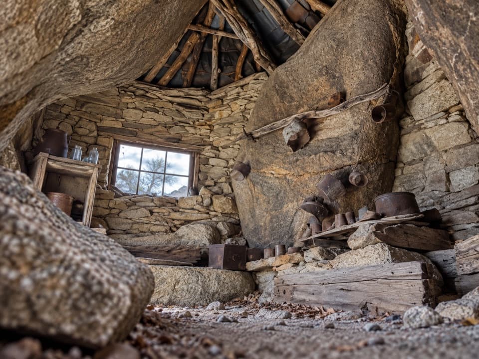
A hidden cabin in boulders, reached by a faint desert route
Overview
Map & elevation
Plan your hike

The highest, rockiest slopes around here are a summer buffet for grizzly bears.
Joshua Tree Tour Guide
Parkwolf is a GPS audio tour guide for Joshua Tree National Park. As you drive, it chimes in with what’s ahead: hidden gems, upcoming stops, history, geology, and wildlife, right through your car’s speakers.
See the Joshua Tree audio tourRecorded for this trailhead
Desert Queen Mine from Pine City Trailhead“The Pine City trailhead is coming up, with a short hike to Desert Queen Mine.”
Plays as you drive up to this trailhead in the Parkwolf Joshua Tree Tour Guide.
More stories near here in the app
“Fantastic app with many points of information… It’s great to just turn on while you’re driving and it gives you an audio tour of the national Park. We love it!!!!”


Trail guide
Eagle Cliff is an unofficial out-and-back to an abandoned mine and a small miner's shelter built among boulders. The full route is about 3.5 miles round trip, with roughly 500 feet of climbing; allow around three hours, and longer if you spend time looking for the cabin. The first stretch follows a clearer track to Desert Queen Mine, then the route continues over rougher ground to Eagle Cliff. I'd do it only if you're comfortable navigating from an offline GPS track. If you want the shorter historic walk, turn around at Desert Queen Mine for about 1.8 miles round trip; that leaves out the Boulder House.
The small dirt lot is at the end of Desert Queen Mine Road. From there, follow the more defined approach to the mine. Desert Queen is a separate historic stop with old shafts and equipment; it is the midpoint of this hike, not the Eagle Cliff destination. Continuing east is what makes this route less straightforward.
Beyond Desert Queen Mine, the tread gets faint and the line crosses rocky, open ground. There are no signs to guide you to the shelter, and it can be easy to miss among the boulders at the cliff base. The Boulder House is a small three-wall shelter built into the rocks, with a little window and a sleeping cave behind it. There is also a short mine opening and a shaft at the site. Look around from the surface, leave every object where it is, and stay out of all mine openings. The shelter is the signature view here; include the surrounding boulders in a photo so its setting makes sense.
This is not a designated, signed park trail. The National Park Service warns that crowd-mapped routes in Joshua Tree can involve remote scrambling and advanced off-trail navigation, and have led to rescues. Download the route before you leave service and be ready to turn back if you lose it. Pets are prohibited on trails and in the backcountry. Summer heat can be dangerous; the park advises avoiding hikes from 10 a.m. to 5 p.m. in summer.
Wildlife
 129 sightingsBighorn SheepMost seen around 6 PMSighting map
 15 sightingsGolden EagleMost seen around 10 AMSighting map
 413 sightingsDesert TortoiseMost seen around 8 AMSighting map
 275 sightingsCoyoteMost seen around 6 AMSighting map
 47 sightingsBobcatMost seen around 6 PMSighting map
 32 sightingsMule DeerMost seen around 6 AMSighting map
Sighting maps show where each species has been reported across Joshua Tree. Wildlife moves, so no sighting is guaranteed.
Keep exploring
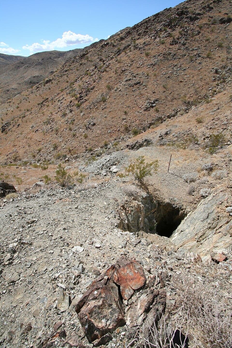 EasyDesert Queen Mine Trail1.5 mi · 1.3 hr · At the trailheadOld mine gear rewards a short desert walk; stay outside the gates.
 EasyPine City Trail4 mi · 2.5 hr · At the trailheadA desert walk to pinyons tucked among granite boulders.
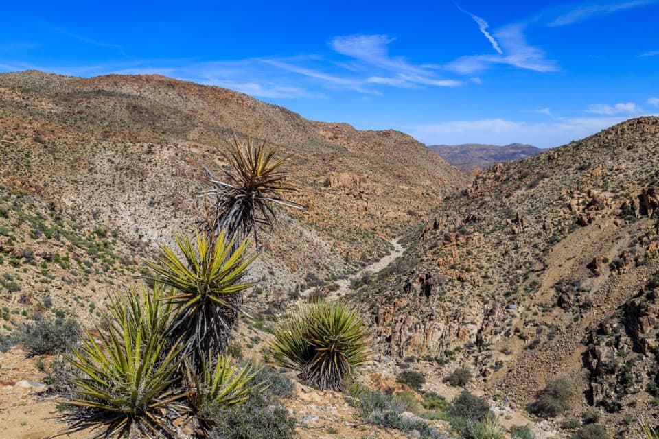 EasyLucky Boy Vista Trail2.5 mi · 1.5 hr · 0.5 mi awayAn easy desert walk to mine remains and a wide valley overlook.
 EasyLucky Boy Loop3.3 mi · 2.3 hr · 0.5 mi awayDesert views, old mine remains, and a final road stretch.
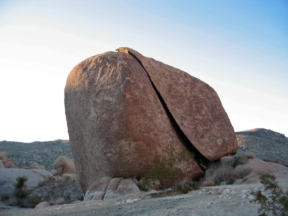 ModerateSplit Rock Loop Trail2.5 mi · 2 hr · 1.6 mi awayA short boulder loop with a Face Rock detour worth the turn.
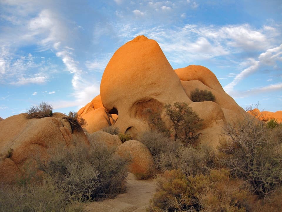 EasySkull Rock Nature Trail1.8 mi · 1.5 hr · 2 mi awayA short loop to a skull-shaped granite formation
 EasyDiscovery Trail0.7 mi · 36 min · 2 mi awayA short loop through washes, rock slots, and a desert overlook.
 ChallengingRyan Mountain Trail3 mi · 2 hr · 3.6 mi awayA steady ridge climb to a 360-degree desert panorama
 Sight · 0.4 mi awayDesert Queen MineWalk a short loop past ore bins, old shafts and mining debris.
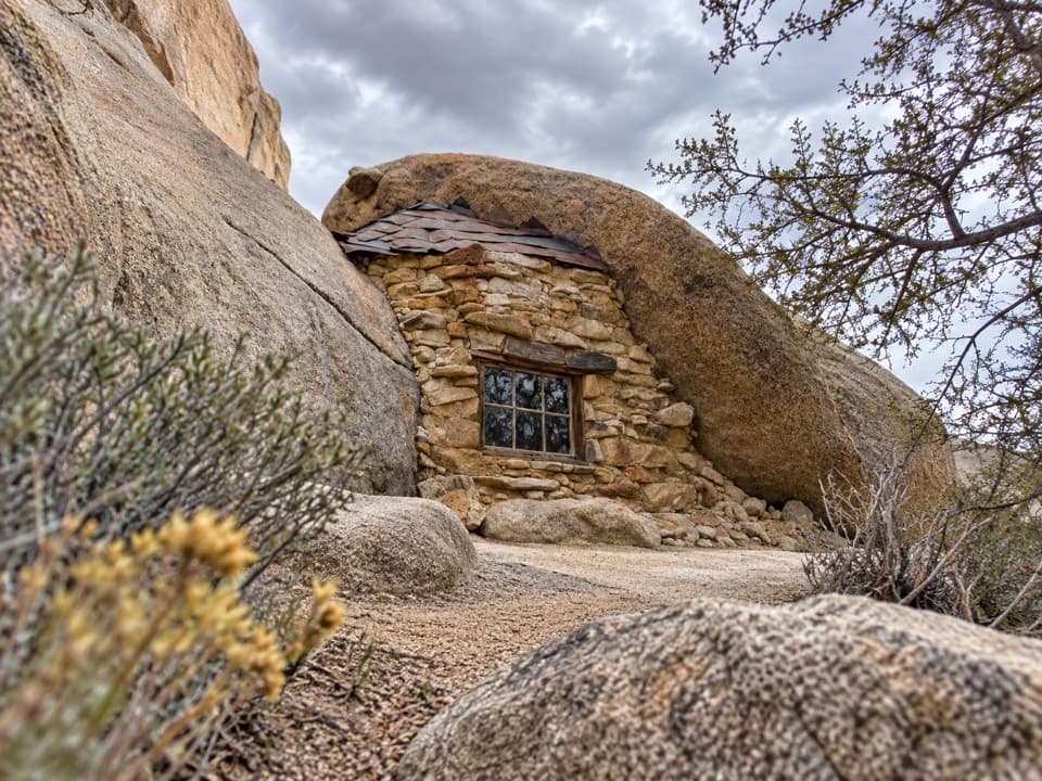 Sight · 0.9 mi awayEagle Cliff Mine and Boulder HouseA miner’s stone cabin tucked into a narrow boulder cleft.Sight · 1.6 mi awaySplit RockThe namesake boulder sits at the start of a 2.5-mile desert loop.
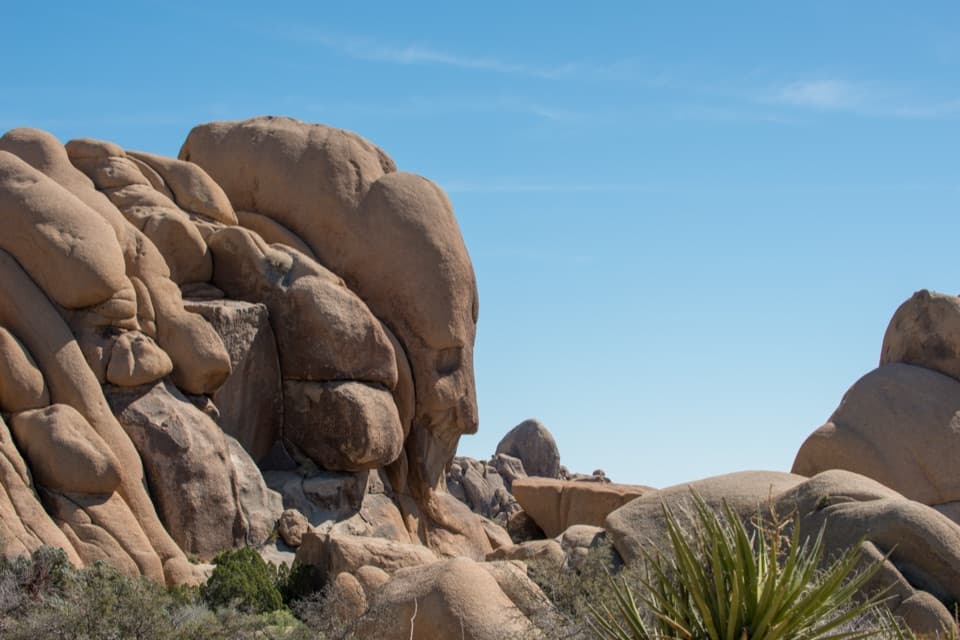 Sight · 1.9 mi awayFace RockA face in the rocks rewards a short spur detour.Sight · 2.1 mi awaySkull RockA skull-shaped granite boulder makes a memorable roadside pause.
 Picnic area · 2.2 mi awayLive Oak Picnic AreaPicnic tables, boulders to scramble, and a curious old oak.
 Campground · 2.5 mi awayJumbo Rocks CampgroundA campsite in a maze of boulders, with stars overhead after dark.
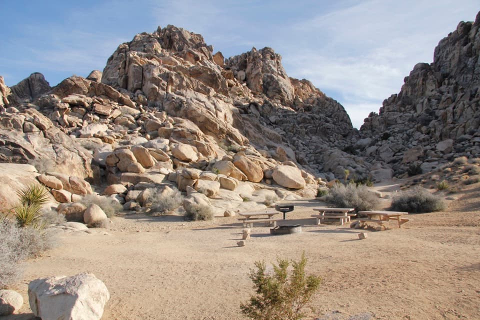 Campground · 2.9 mi awaySheep Pass Group CampgroundA tent-only group base among boulders and Joshua trees.
Parkwolf’s Joshua Tree ranking

The audio tour guide for the drive, plus offline maps, trails, and wildlife heatmaps for when the signal drops.




