Cahills Crossing Viewing Area in Kakadu National Park

#9 of 37 sights in Kakadu

Sight · Kakadu National Park

Cahills Crossing Viewing Area

Plan around the tide for a crocodile-feeding spectacle.

Photo: Dietmar Rabich / Wikimedia Commons / “Kakadu (AU), Kakadu National Park, Cahills Crossing -- 2019 -- 4140” / CC BY-SA 4.0

Type
Sight
Nearest trail
0.8 km
Audio stories
6 nearby
  • Scenic viewpoint
  • Picnic tables
  • Parking

Hear the audio tour

Cahills Crossing: Crocodiles and Nearby Art
Download Parkwolf on the App StoreGet Parkwolf on Google Play

4.7 from 8,600+ ratings

Overview

About Cahills Crossing Viewing Area

Why stop

  • A rare chance to watch saltwater crocodiles feed at a river crossing.

Heads up

  • The strongest activity is seasonal and depends on tide timing.

Map

Where it is

Loading the Kakadu map
Full map
SightCahills Crossing Viewing Area-12.42721, 132.96528
Keep this map with you offline in the Parkwolf app

Plan your stop

Before you go

8 active Kakadu alerts

  • CautionWater over Cahills CrossingMentions Cahills Crossing, referenced in this guideWater is over Cahills Crossing and levels may change rapidly; check access conditions before travelling and exercise caution. Check the current Kakadu access report before travelling.Official details
  • ClosureJim Jim and Twin Falls area closed for 2026Jim Jim Falls and the Twin Falls area are closed for 2026; do not enter the closed sites.Official details
See all 8 alerts
A park ranger sits on a dash-mounted phone, talking, as Parkwolf’s Tour Guide plays “Army Cutworm Moths: A Grizzly Bear Buffet” on Grand Loop Road below Dunraven Pass in Yellowstone
Parkwolf Tour GuideThe highest, rockiest slopes around here are a summer buffet for grizzly bears.

Kakadu Tour Guide

Your drive to Cahills Crossing Viewing Area, narrated.

Parkwolf is a GPS audio tour guide for Kakadu National Park. As you drive, it chimes in with what’s ahead: hidden gems, upcoming stops, history, geology, and wildlife, right through your car’s speakers.

See the Kakadu audio tour

Recorded for this place

Cahills Crossing: Crocodiles and Nearby Art
0:00 / 0:33
“Cahills Crossing is ahead, where saltwater crocodiles gather around the causeway on the East Alligator River.”

Plays as you drive up to Cahills Crossing Viewing Area in the Parkwolf Kakadu Tour Guide.

More stories near here in the app

  • Guluyambi: Culture on the River
  • Bardedjilidji: Among the Sandstone
  • Merl Campground: A Base Near Ubirr
  • Ubirr’s Rock Art and Floodplain View
  • 298 audio storiesacross Kakadu’s roads, triggered by GPS as you drive
  • Wildlife heatmapsfor Saltwater Crocodile, Water Buffalo, Frilled Dragon, and 13 more
  • Works offlinemaps, 26 trails, 70 places, and audio download before you lose signal
  • CarPlay readysimple controls built for the drive
★★★★★
“Fantastic app with many points of information… It’s great to just turn on while you’re driving and it gives you an audio tour of the national Park. We love it!!!!”
JMJamesApp Store review
Download Parkwolf on the App StoreGet Parkwolf on Google Play

4.7 from 8,600+ ratings

Guide

More about Cahills Crossing Viewing Area

Plan around the incoming tideCahills Crossing Viewing Area is an elevated set of viewing platforms on the western bank of…

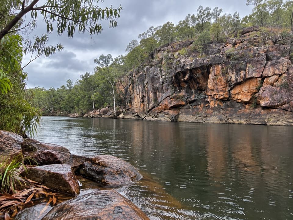
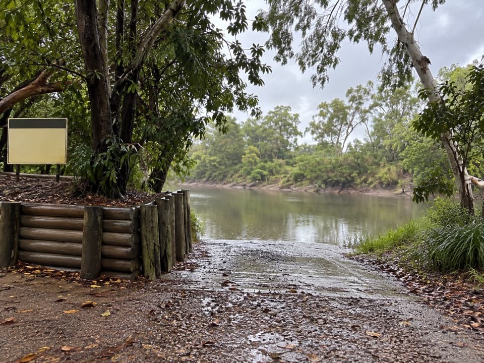
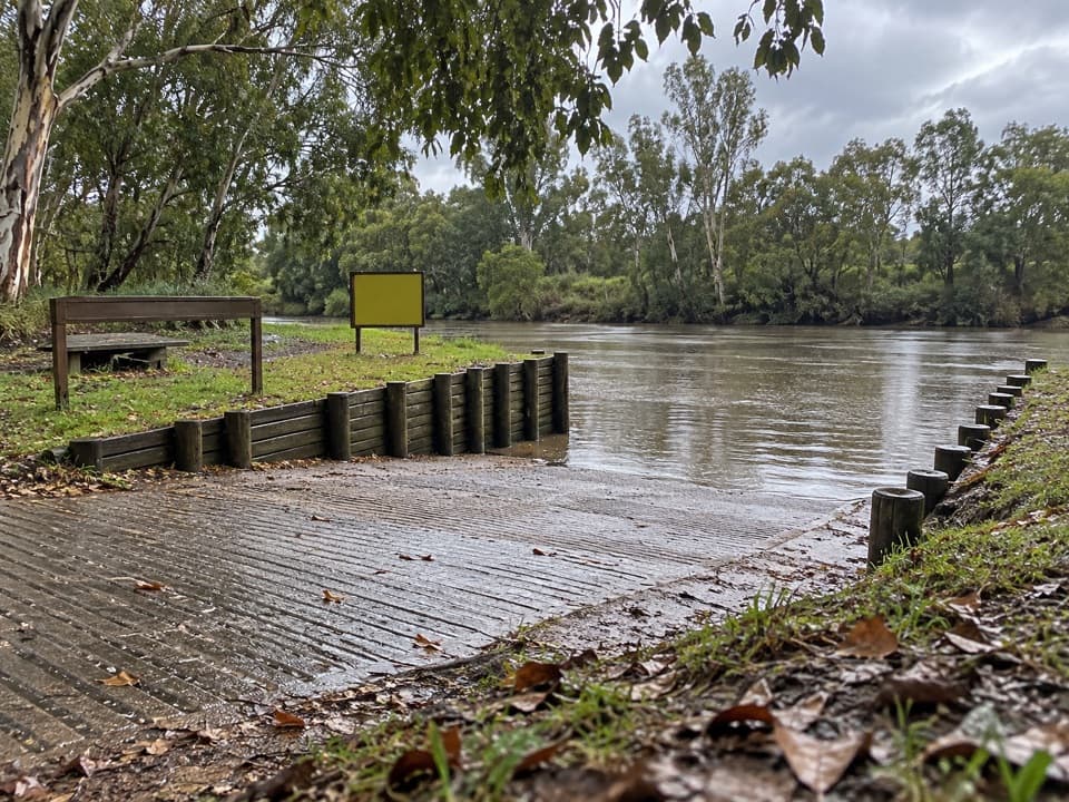
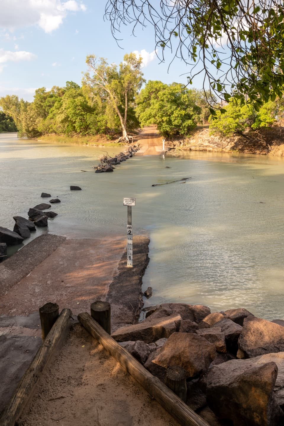
Cahills Crossing Viewing Area is an elevated set of viewing platforms on the western bank of the East Alligator River, looking over the causeway toward Arnhem Land. Wild saltwater crocodiles are the reason to stop. Try to arrive before an incoming tide, especially from July to November. Feeding activity often peaks around September before the wet season, but these are wild animals, not a scheduled show. Check tide times before setting out.

For photos, keep the crossing and a broad stretch of river in the frame. That shows the causeway where the crocodiles gather and gives the river scene its scale.

What the tide bringsAs the incoming tide sweeps across the causeway, crocodiles gather to feed on mullet and…

As the incoming tide sweeps across the causeway, crocodiles gather to feed on mullet and barramundi. The late dry-season window runs roughly July through November, with the strongest activity often around September. Sightings and feeding vary with the water, so leave time to watch rather than expecting a guaranteed show at one exact moment.

A short walk and a picnicA short rainforest path links the elevated viewing platforms and the riverside picnic area.

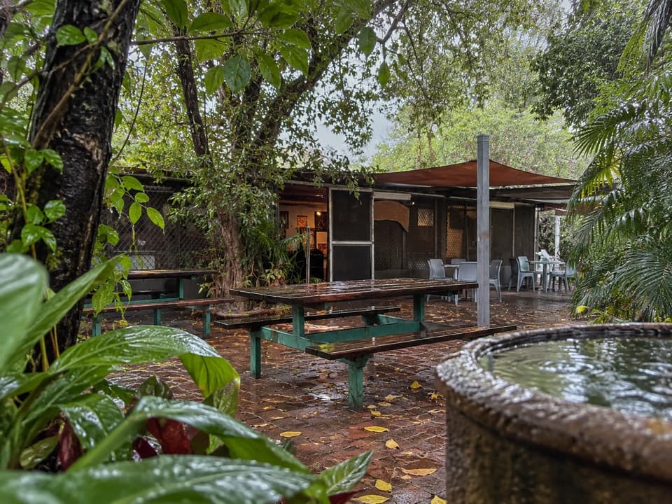
A short rainforest path links the elevated viewing platforms and the riverside picnic area. Picnic tables make this a good place to pause while you watch the river; a nearby car park serves the stop. The viewing area is accessible by 2WD, and specific toilet, drinking-water and accessible-facility details are not confirmed.

The road across the riverKakadu's East Alligator, or Erre, region is the gateway to Arnhem Land.

Kakadu's East Alligator, or Erre, region is the gateway to Arnhem Land. The causeway connects both sides of the river, and you may see local traffic using it while you watch from Kakadu's western bank. Keep the wildlife-viewing stop and the road crossing distinct.

Watch from the platformsThe crossing is never safe to walk on, even when the water looks low.

The crossing is never safe to walk on, even when the water looks low. Watch from the designated platforms and picnic area; do not step onto the causeway to get closer.

Wildlife

Wildlife in Kakadu

All Kakadu wildlife maps

Sighting maps show where each species has been reported across Kakadu. Wildlife moves, so no sighting is guaranteed.

Parkwolf’s Kakadu ranking

Top sights in Kakadu

All 70 places
  1. 1UbirrSight
  2. 2Burrungkuy (Nourlangie)Sight
  3. 3Yellow Water (Ngurrungurrudjba)Sight
  4. 4Jim Jim FallsSight
  5. 5Gunlom FallsSight
  6. 6Twin Falls GorgeSight

Take Parkwolf to Kakadu.

The audio tour guide for the drive, plus offline maps, trails, and wildlife heatmaps for when the signal drops.

4.7 from 8,600+ ratings

Download Parkwolf on the App StoreGet Parkwolf on Google Play