Parking
Start at the Ubirr car park beside the rock-art site access; the walk begins at its entrance.
#1 of 26 trails in Kakadu
Kakadu National Park, NT
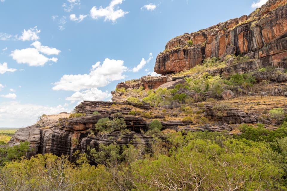
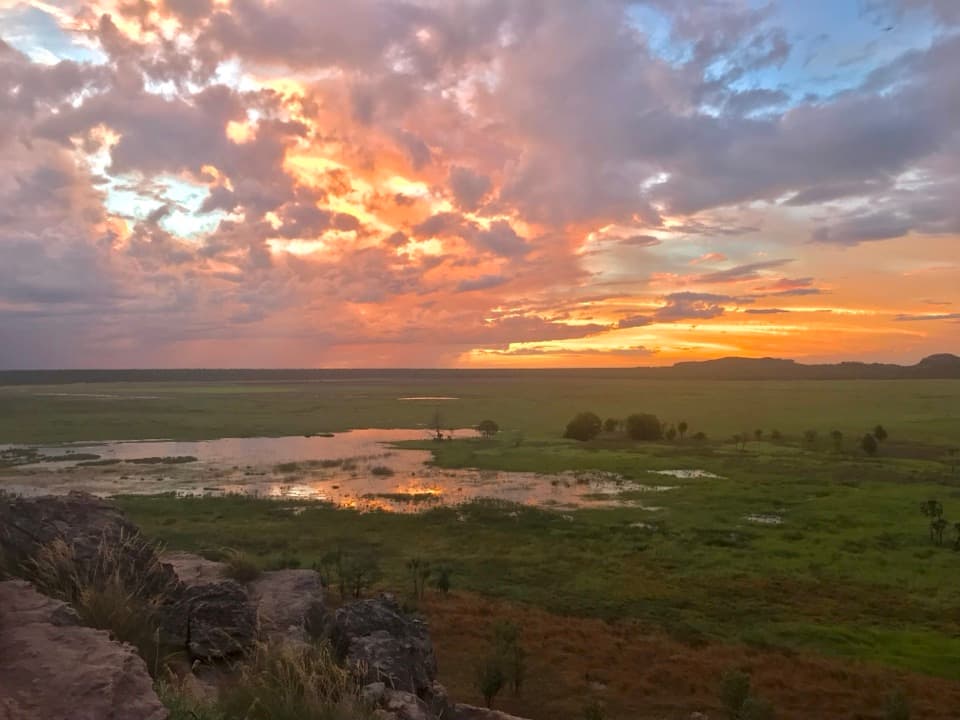
A short art walk ends with a huge floodplain view.
Photo: ChristinaStorey, CC BY-SA 4.0, via Wikimedia Commons
Overview
Ubirr is a loop through several Aboriginal rock-art galleries and up a steep climb to Nadab Lookout. The complete car-park-to-car-park route, including the lookout climb and its return, measures about 1.72 km (1.07 mi) along the mapped paths. The published figure is 1 km, but it doesn't say whether that counts the lookout spur. Allow about an hour. This is an excellent short stop if you want the art and a broad landscape view in one walk. The flat main gallery area is wheelchair accessible; the rocky upper route is a separate, more demanding part. If uneven stone is a concern, the main gallery alone is still a worthwhile shorter visit.
 Parkwolf’s verdictIs the full climb for you?
Map & elevation
Plan your hike

The highest, rockiest slopes around here are a summer buffet for grizzly bears.
Kakadu Tour Guide
Parkwolf is a GPS audio tour guide for Kakadu National Park. As you drive, it chimes in with what’s ahead: hidden gems, upcoming stops, history, geology, and wildlife, right through your car’s speakers.
See the Kakadu audio tourRecorded for this trailhead
Ubirr’s Rock Art and Floodplain View“You're coming up on Ubirr, where rock-art galleries and a floodplain lookout make a stop I'd keep high on the list. Allow about an hour, and give the paintings time before climbing to the view.”
Plays as you drive up to this trailhead in the Parkwolf Kakadu Tour Guide.
More stories near here in the app
“Fantastic app with many points of information… It’s great to just turn on while you’re driving and it gives you an audio tour of the national Park. We love it!!!!”


Trail guide
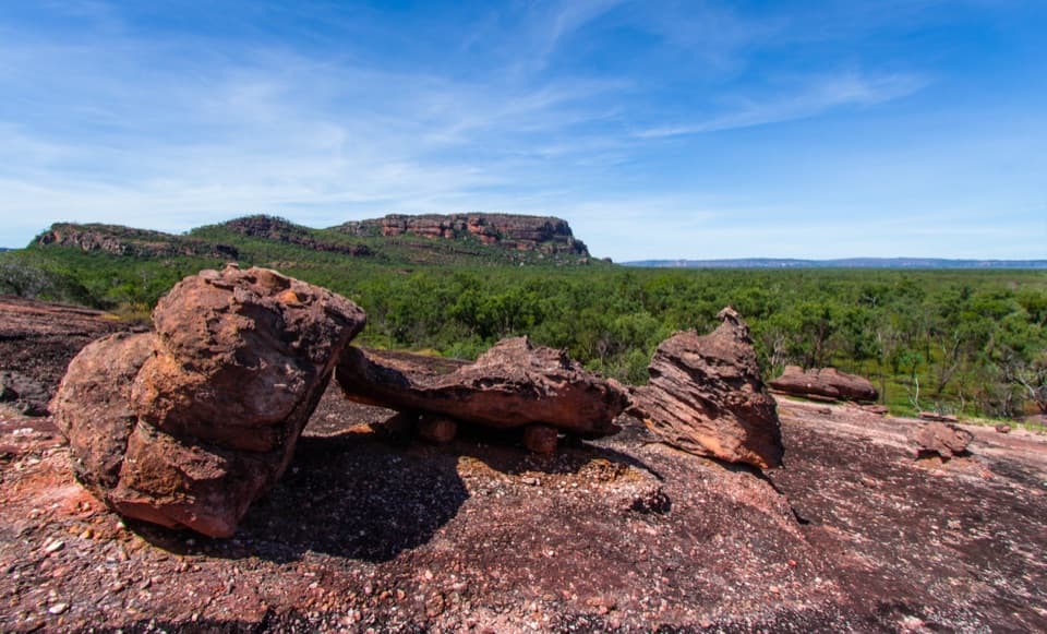
Start at Ubirr car park. The first approach reaches the flat main gallery area. Beyond it, footing changes: visitors describe rock steps around a second art area and uneven stones when they move closer to some paintings. The lookout adds a steep climb of roughly 250 m along the path. It is a spur off the main circuit; go up to the rocky view, then retrace that section before continuing around the loop. Grade 2 shouldn't be mistaken for an all-flat stroll. Shoes with grip help, and there's no reason to rush the rock.
Some Kakadu paintings are up to 20,000 years old, making them part of one of the longest historical records of any group of people. At Ubirr, look for naturalistic animal paintings, traditional X-ray art, early images of contact with Europeans, and hand stencils. The local Aboriginal word for rock art is kunbim. Artists crushed mineral pigments and mixed them with water; brushes could be made from human hair, reeds, feathers, or chewed sticks. Some hand stencils were made by blowing wet pigment around a hand. Haematite, a red iron oxide, lasts especially well, which helps explain the many red paintings you still see.
Important ancestral figures are pictured at Ubirr, but the stories behind individual panels aren't something to guess from the images. A ranger-guided talk can put them in context when one is running. For Bininj/Mungguy, painting expresses cultural identity and connection to Country; the act of making art can matter more than any single image, and newer paintings may cover older ones. That layering is part of a living practice.
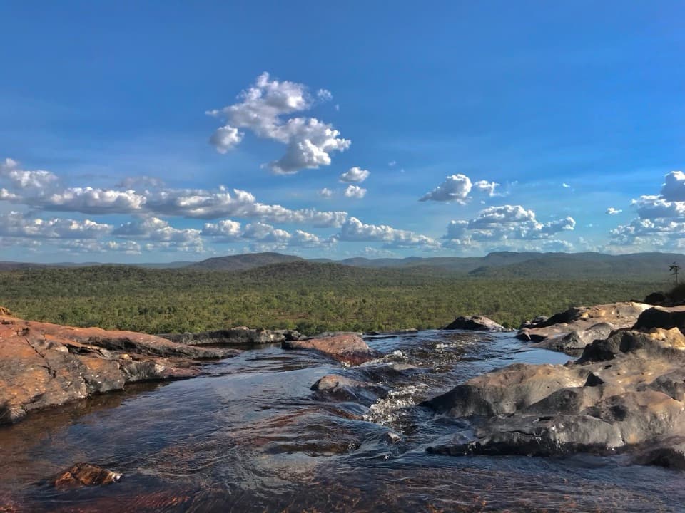
The rocky lookout opens to a wide view over the Nadab floodplain and Arnhem Land. Sunset is a signature moment: clouds catch the light above the plain, with wallabies sometimes moving along the escarpment and birds calling as the sun drops. For a photo, keep a little sandstone in the foreground so the broad, low floodplain has scale. If you stay for sunset, begin the descent while there's still light; at least one visitor found the return path very dark afterward.
Start and finish at the Ubirr car park. A Kakadu park pass is required; alcohol isn't permitted at Ubirr for cultural reasons. Pets aren't allowed in Commonwealth national parks; guide, hearing, and assistance dogs are permitted on a leash no longer than 3 m. Ubirr is accessible most of the year, though tropical-summer flooding can affect access, so check the current report before driving out. A drinking-water source at the trailhead wasn't confirmed; bring enough water for the visit.
Wildlife
 1,126 sightingsSaltwater CrocodileMost seen around 7 AMSighting map
 122 sightingsWater BuffaloMost seen around 6 AMSighting map
 77 sightingsFrilled DragonMost seen around 7 AMSighting map
 118 sightingsRed-tailed Black CockatooMost seen around 7 AMSighting map
 108 sightingsBrolgaMost seen around 7 AMSighting map
 310 sightingsMagpie GooseMost seen around 5 PMSighting map
Sighting maps show where each species has been reported across Kakadu. Wildlife moves, so no sighting is guaranteed.
Keep exploring
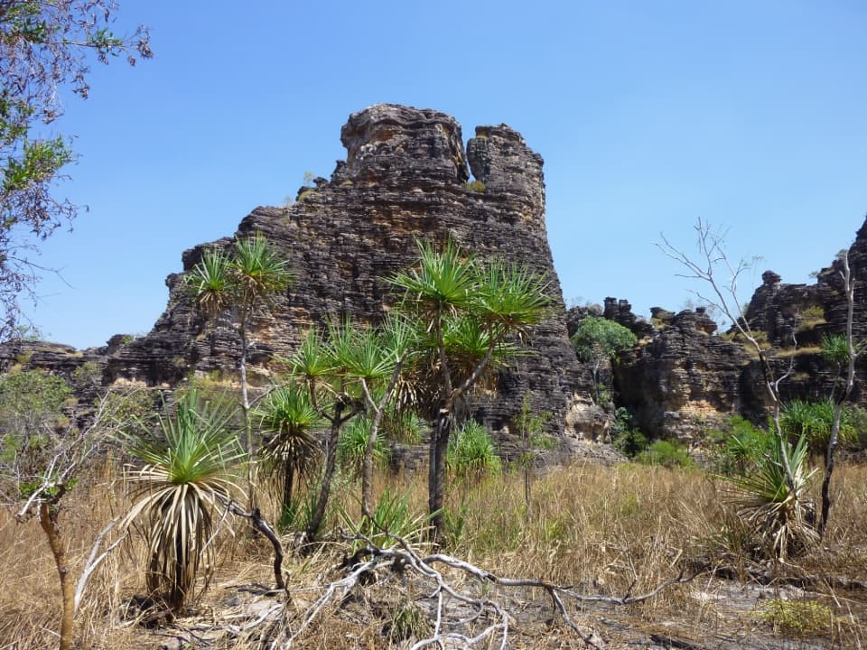 EasyBardedjilidji Walk2.5 km · 2 hr · 2.7 km awaySandstone towers, a cool cave, and the East Alligator in one loop.
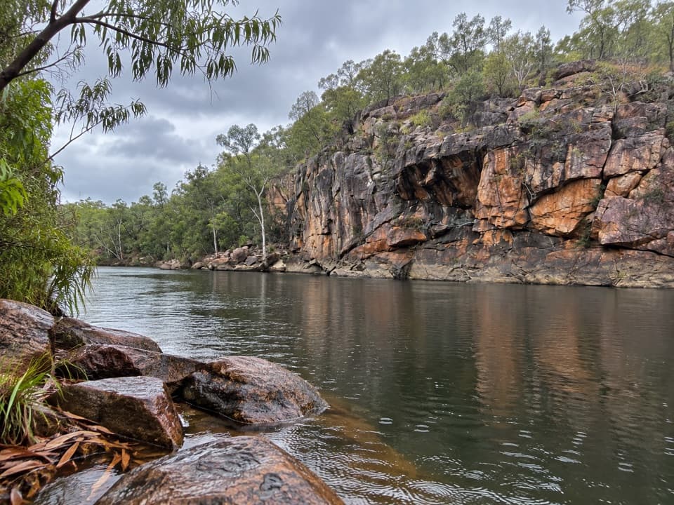 ModerateBadbong Wodjmeng Sandstone River Walk6.5 km · 4 hr · 3.2 km awaySandstone, pandanus pools, and croc country on an East Alligator loop.Sight · At the trailheadUbirrRock art and a sunset lookout share one short loop.
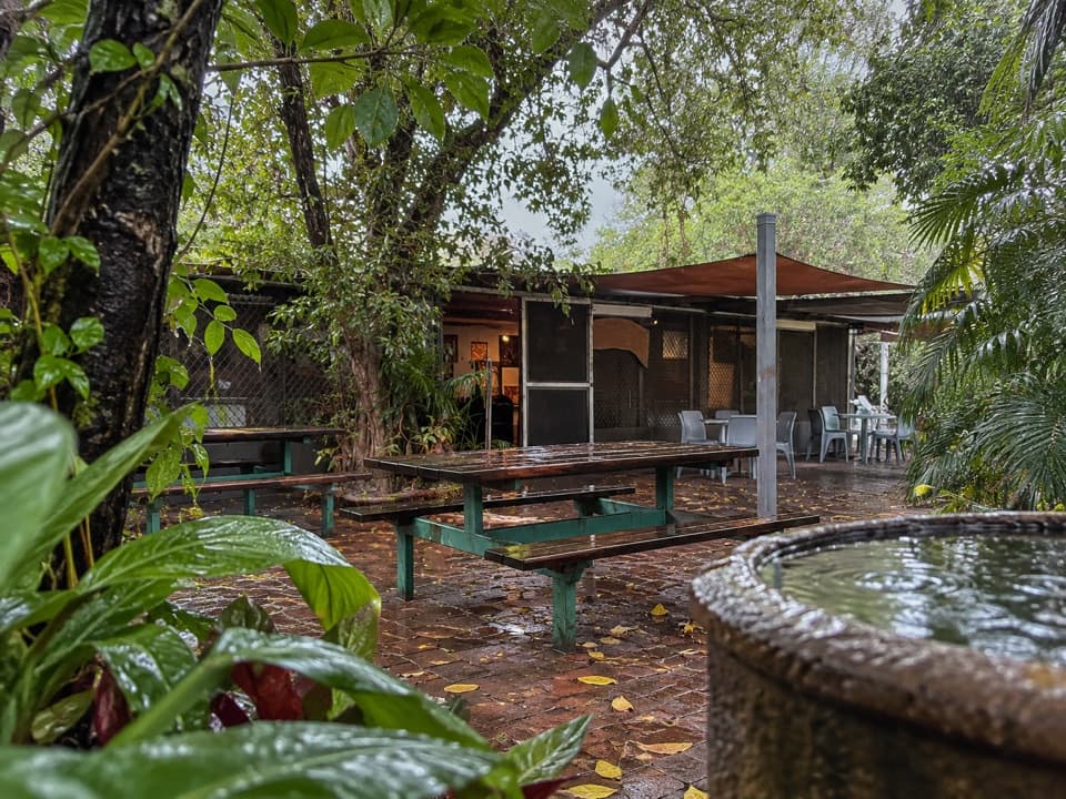 Store · 1.6 km awayManbiyarra Pop-up Gallery (Border Store)Browse Injalak art and textiles near Ubirr and Cahills Crossing.
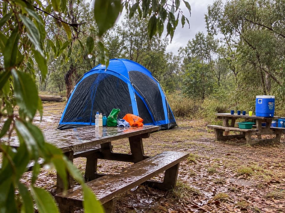 Campground · 1.6 km awayMerl CampgroundA shady campsite near Ubirr with a walk out to Cahills Crossing.
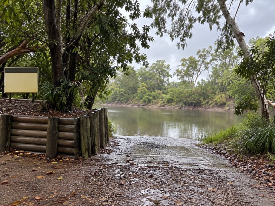 Sight · 1.7 km awayEast Alligator Downstream Boat RampA downstream launch for barra fishing and crocodile spotting.
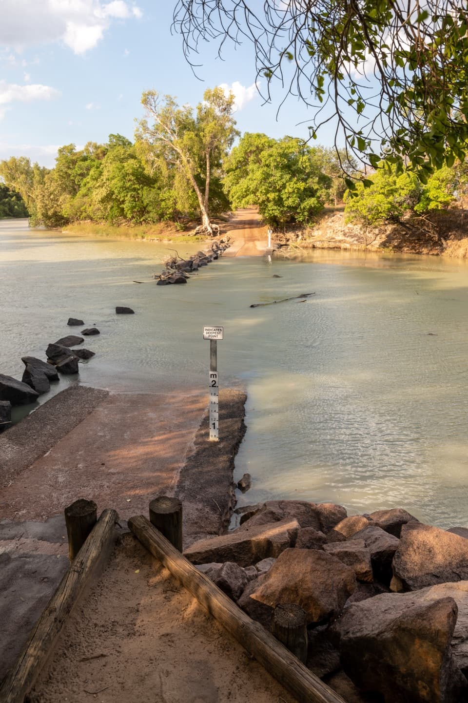 Sight · 1.9 km awayCahills Crossing Viewing AreaPlan around the tide for a crocodile-feeding spectacle.
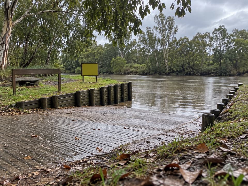 Sight · 2.3 km awayEast Alligator Upstream Boat RampBoat launch for the East Alligator’s seasonal cultural cruise.
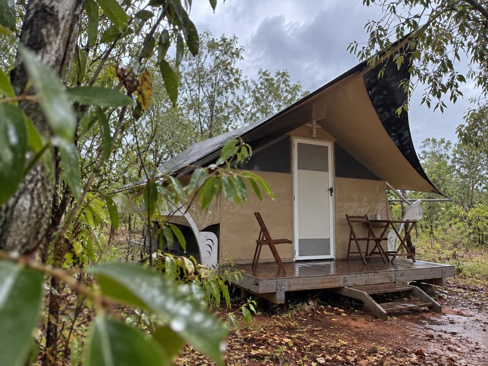 Lodging · 3.5 km awayHawk Dreaming Wilderness LodgeA guided, multi-day stay in remote Cannon Hill country.
Parkwolf’s Kakadu ranking
The audio tour guide for the drive, plus offline maps, trails, and wildlife heatmaps for when the signal drops.