Parking
Use the signed Bardedjilidji Road carpark and Badbong Wodjmeng trackhead on the road to Ubirr. Check Kakadu’s current access report and road conditions at Bowali Visitor Centre before setting out; a Kakadu park pass is required.
Kakadu National Park, NT
A demanding loop through sandstone country, floodplains and the East Alligator River.
Overview
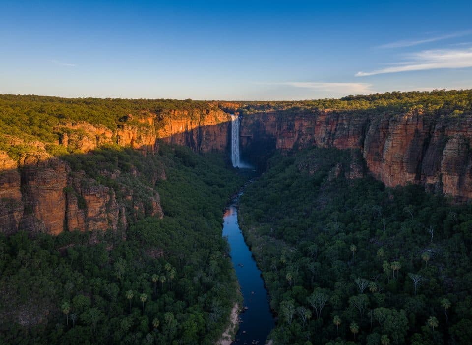
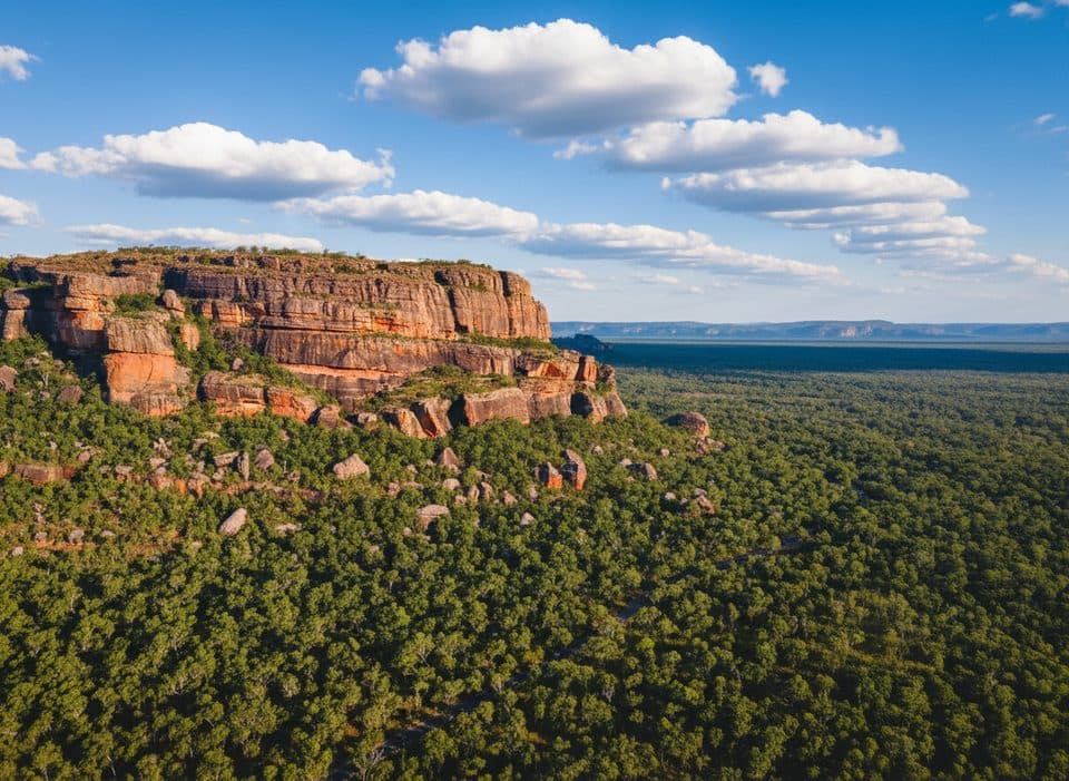
From the Bardedjilidji Road carpark and trackhead on the road to Ubirr, this marked circuit follows the Badbong Wodjmeng route through sandstone outcrops, Catfish Creek, pandanus-fringed pools, floodplains and the East Alligator River. The complete visitor route is about 7.5 km (4.7 miles) and takes around 4 hours.
This is a remote, demanding bush walk with uneven sandstone, rock and sandy surfaces, limited shade and sections where route-finding matters. Do not hike alone; carry plenty of water, sun protection and a reliable navigation backup. The route is graded moderate by Kakadu, while some hiking references rate the rough terrain one grade harder.
Crocodiles live in the East Alligator River, Catfish Creek, billabongs and pools. Stay well back from every water edge and never swim, wade or approach wildlife. White-bellied sea-eagles, lavender-flanked wrens and peregrine falcons may be seen.
Access is seasonal and can change with water levels, weather and park management. Check Kakadu’s current access report and road conditions before setting out, and carry a Kakadu park pass.
Map & elevation
Plan your hike

The highest, rockiest slopes around here are a summer buffet for grizzly bears.
Kakadu Tour Guide
Parkwolf is a GPS audio tour guide for Kakadu National Park. As you drive, it chimes in with what’s ahead: hidden gems, upcoming stops, history, geology, and wildlife, right through your car’s speakers.
See the Kakadu audio tourRecorded for this area
Guluyambi Cultural Cruise on the East Alligator River“If you're looking for a boat trip with a real difference, the Guluyambi Cultural Cruise departs from a boat ramp in this area.”
Plays on the road 0.5 km from the trailhead in the Parkwolf Kakadu Tour Guide.
More stories near here in the app
“Fantastic app with many points of information… It’s great to just turn on while you’re driving and it gives you an audio tour of the national Park. We love it!!!!”


Wildlife
 1,079 sightingsSaltwater CrocodileMost seen around 7 AMSighting map
 121 sightingsWater BuffaloMost seen around 6 AMSighting map
 76 sightingsFrilled DragonMost seen around 7 AMSighting map
 116 sightingsRed-tailed Black CockatooMost seen around 7 AMSighting map
 101 sightingsBrolgaMost seen around 7 AMSighting map
 299 sightingsMagpie GooseMost seen around 5 PMSighting map
Sighting maps show where each species has been reported across Kakadu. Wildlife moves, so no sighting is guaranteed.
Keep exploring
 EasyBardedjilidji Walk2.6 km · 2 hr · At the trailheadEasy 2.5 km sandstone loop with caves, rock art, and East Alligator River viewsModerateSandstone and River Bushwalk6.4 km · 4 hr · 0.6 km awayA challenging loop through Kakadu's sandstone country, pandanus pools and the East Alligator River.EasyManngarre Rainforest Walk1.9 km · 1 hr · 1 km awayShort, shady rainforest loops with river views and real croc potential
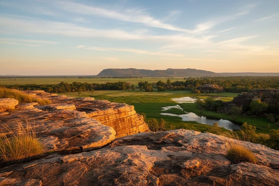 EasyUbirr Walk (Nadab Lookout)1.2 km · 1 hr · 2.7 km awayShort Aboriginal rock-art loop to Nadab Lookout and floodplain views
 Sight · 0.5 km awayGuluyambi Cultural CruiseAboriginal-guided river cruise with Arnhem Land landing and croc spotting
 Sight · 0.9 km awayCahills CrossingReliable wild croc viewing on a tidal river causeway
 Campground · 1.6 km awayMerl CampgroundShady basecamp for Ubirr sunsets and croc-spotting at Cahills Crossing
 Sight · 3 km awayUbirrAncient rock art and a sunset-famous floodplain lookout
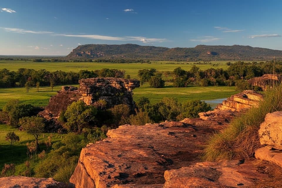 Sight · 3.2 km awayNadab Lookout (Ubirr)Sunset floodplain panorama via superb rock art walk
Parkwolf’s Kakadu ranking

The audio tour guide for the drive, plus offline maps, trails, and wildlife heatmaps for when the signal drops.