Yurmikmik Lookout in Kakadu National Park

Sight · Kakadu National Park

Yurmikmik Lookout

A two-hour walk to wide views over Kakadu’s southern country.

Type
Sight
Nearest trail
1 km
Audio stories
3 nearby
  • Scenic viewpoint
  • Trailhead
  • Parking

Hear the audio tour

Yurmikmik: A Short Walk or a Half Day
Download Parkwolf on the App StoreGet Parkwolf on Google Play

4.7 from 8,600+ ratings

Overview

About Yurmikmik Lookout

Why stop

  • A broad panorama links Bornluk, the South Alligator country and southern ridges.

Heads up

  • A moderate 5 km return walk makes this a deliberate outing.
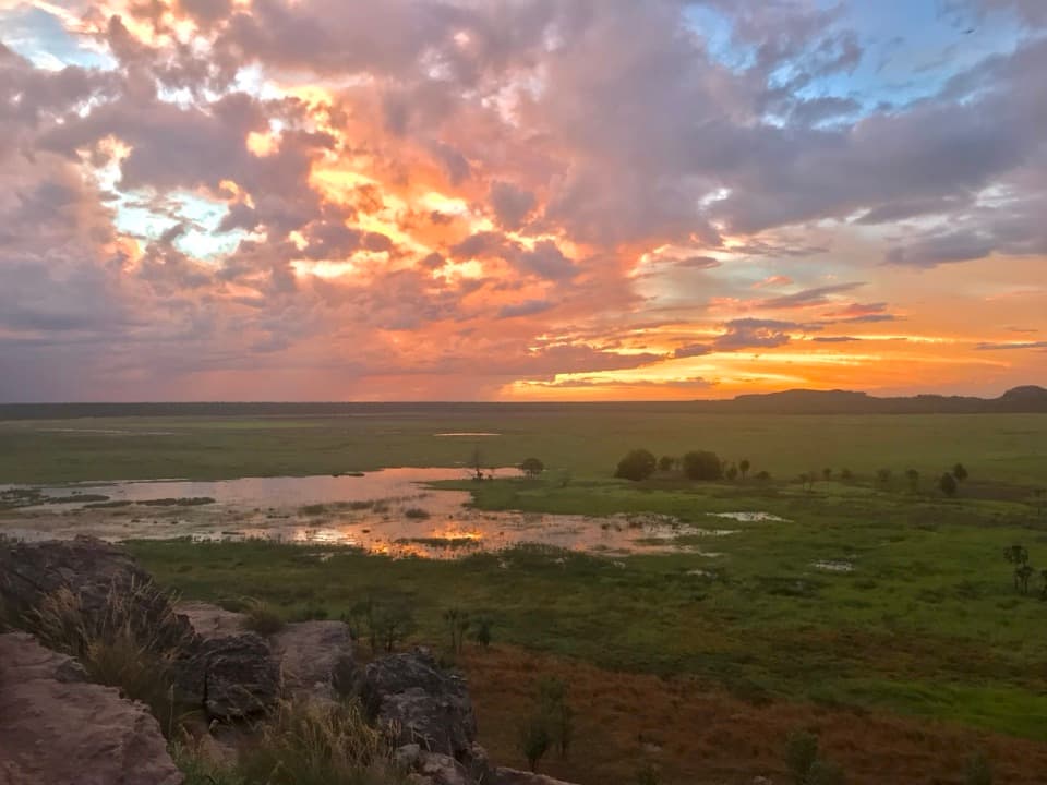
Yurmikmik Lookout is a rocky viewpoint on a ridge in southern Kakadu, reached by a marked 5 km return walk graded moderate and usually taking about two hours. The payoff is a broad view over the South Alligator catchment and southern hills, so this is a choice for people who want a proper walk. It isn't a quick roadside stop; I'd choose it when that hike is part of the plan, and skip it if you're short on time.
Parkwolf’s verdictIs the walk worth it?

Map

Where it is

Loading the Kakadu map
Full map
SightYurmikmik Lookout-13.51839, 132.46147
Keep this map with you offline in the Parkwolf app

Plan your stop

Before you go

8 active Kakadu alerts

  • CautionSouth Alligator billabongs require high-clearance 4WDMentions South Alligator, referenced in this guideAlligator, Bucket and Red Lily Billabongs are accessible only by high-clearance 4WD; significant water remains on and around some track sections.Official details
  • ClosureJim Jim and Twin Falls area closed for 2026Jim Jim Falls and the Twin Falls area are closed for 2026; do not enter the closed sites.Official details

See all 8 alerts
A park ranger sits on a dash-mounted phone, talking, as Parkwolf’s Tour Guide plays “Army Cutworm Moths: A Grizzly Bear Buffet” on Grand Loop Road below Dunraven Pass in Yellowstone
Parkwolf Tour GuideThe highest, rockiest slopes around here are a summer buffet for grizzly bears.

Kakadu Tour Guide

Your drive to Yurmikmik Lookout, narrated.

Parkwolf is a GPS audio tour guide for Kakadu National Park. As you drive, it chimes in with what’s ahead: hidden gems, upcoming stops, history, geology, and wildlife, right through your car’s speakers.

See the Kakadu audio tour

Recorded for this place

Yurmikmik: A Short Walk or a Half Day
0:00 / 0:28
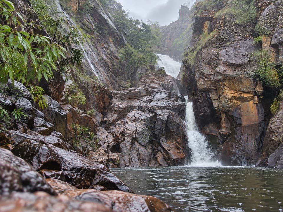
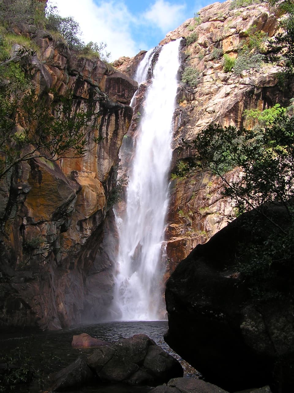
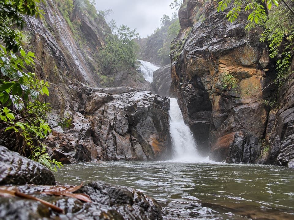
“You're nearing the Yurmikmik walks car park, the start for Motor Car Falls.”

Plays as you drive up to Yurmikmik Lookout in the Parkwolf Kakadu Tour Guide.

More stories near here in the app

  • The Wings That Became Armour
  • The Breathing Holes Along an Insect
  • The Wind Ahead of the Rain
  • The Fish That Looks Too Shallow
  • 298 audio storiesacross Kakadu’s roads, triggered by GPS as you drive
  • Wildlife heatmapsfor Saltwater Crocodile, Water Buffalo, Frilled Dragon, and 13 more
  • Works offlinemaps, 26 trails, 70 places, and audio download before you lose signal
  • CarPlay readysimple controls built for the drive
★★★★★
“Fantastic app with many points of information… It’s great to just turn on while you’re driving and it gives you an audio tour of the national Park. We love it!!!!”
JMJamesApp Store review
Download Parkwolf on the App StoreGet Parkwolf on Google Play

4.7 from 8,600+ ratings

Guide

More about Yurmikmik Lookout

Follow the lookout branchFrom the Yurmikmik walks access area, follow the track shared with Motor Car Falls, then take…

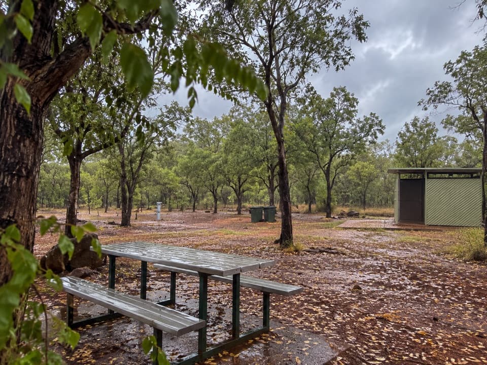
From the Yurmikmik walks access area, follow the track shared with Motor Car Falls, then take the short uphill branch to the viewpoint. You'll pass through open woodland and climb a stony ridge; Motor Car Falls is a separate destination in the same walking network.

The access area is around 140 km south of Jabiru; the last 22 km from the Gunlom turn-off follows unsealed Gimbat Road. Check the current park access report before the drive, particularly after rain.

Read the viewBornluk, a sandstone hill, sits to the northwest; Kakadu's southern ridges run north and west;…

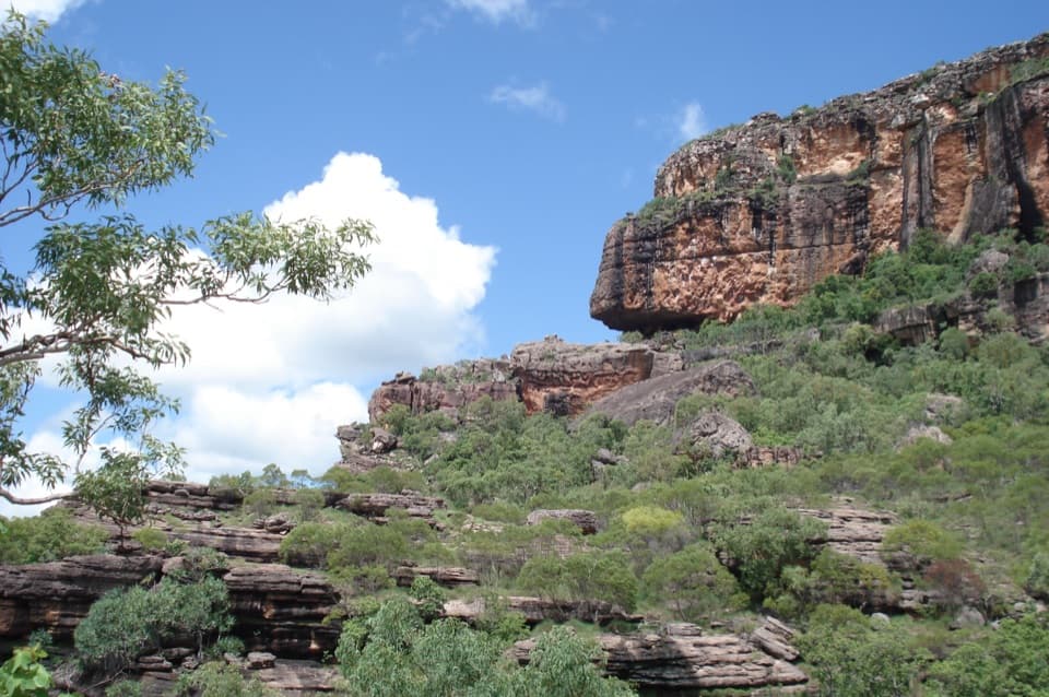
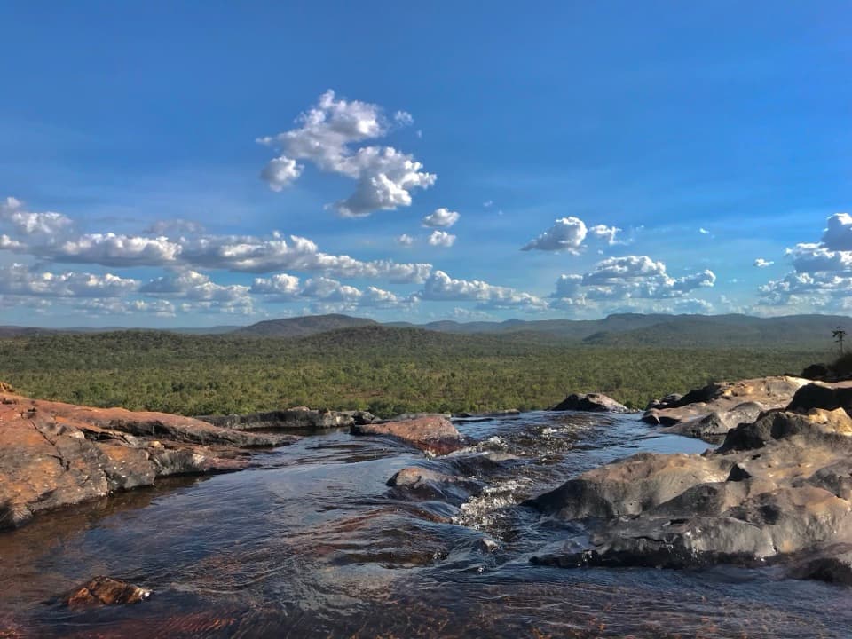
Bornluk, a sandstone hill, sits to the northwest; Kakadu's southern ridges run north and west; and the South Alligator River leaves a ribbon of vegetation along the road. Flat Marrawal Plateau country spreads south. Marrawal is the seasonally swampy upland between the South Alligator and Katherine rivers.

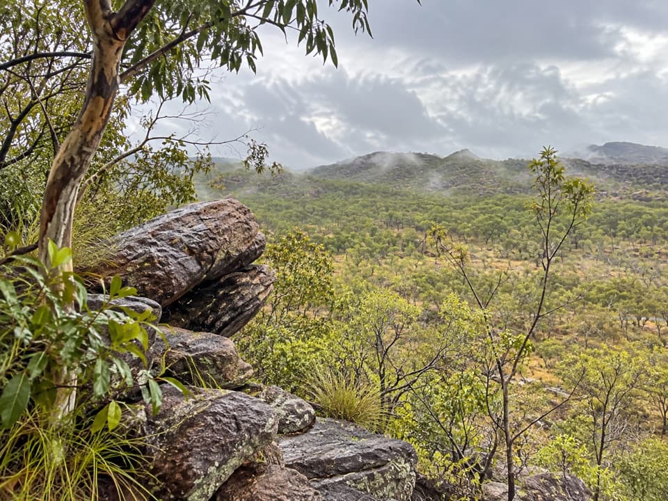
Use the rocks beside the viewpoint as foreground with the wooded ridges beyond; it gives the wide landscape some scale without reducing the scene to a distant horizon.

Look for dirringgilThe rocky rise has gardenias with yellow-green bark called dirringgil.

The rocky rise has gardenias with yellow-green bark called dirringgil. Mungguy eat the fruit and use the resin as glue; the flowers are fragrant in the dry season. Look down at the plants as well as out across the hills.

Wildlife

Wildlife in Kakadu

All Kakadu wildlife maps

Sighting maps show where each species has been reported across Kakadu. Wildlife moves, so no sighting is guaranteed.

Parkwolf’s Kakadu ranking

Top sights in Kakadu

All 70 places
  1. 1UbirrSight
  2. 2Burrungkuy (Nourlangie)Sight
  3. 3Yellow Water (Ngurrungurrudjba)Sight
  4. 4Jim Jim FallsSight
  5. 5Gunlom FallsSight
  6. 6Twin Falls GorgeSight

Take Parkwolf to Kakadu.

The audio tour guide for the drive, plus offline maps, trails, and wildlife heatmaps for when the signal drops.

4.7 from 8,600+ ratings

Download Parkwolf on the App StoreGet Parkwolf on Google Play