Parking
Park at the Yurmikmik Walks carpark, the shared trailhead for Motor Car Falls and the Kurrundie walk. An emergency call device is available at the carpark.
Kakadu National Park, NT
Remote, unmarked 11 km return walk from Yurmikmik to Kurrundie Falls
Overview
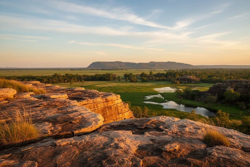
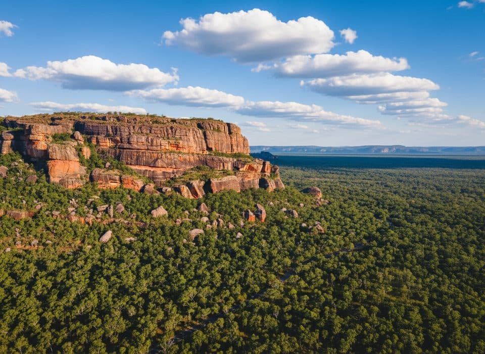
If you crave solitude and real wilderness, Kurrundie delivers. This is a challenging, remote 11 km return walk to one of Kakadu's least-visited waterfalls, threading through open woodland, monsoon forest, and stony escarpment country. Expect minimal people once you leave the Motor Car Falls track—often none at all.
 Parkwolf’s verdictWhy go
Map & elevation
Plan your hike

The highest, rockiest slopes around here are a summer buffet for grizzly bears.
Kakadu Tour Guide
Parkwolf is a GPS audio tour guide for Kakadu National Park. As you drive, it chimes in with what’s ahead: hidden gems, upcoming stops, history, geology, and wildlife, right through your car’s speakers.
See the Kakadu audio tourRecorded for this area
Yurmikmik Walks: Waterfalls of the Southern Stone Country“If you're looking for waterfalls late in the dry season, the Yurmikmik Walks are a good choice.”
Plays on the road 1.9 km from the trailhead in the Parkwolf Kakadu Tour Guide.
More stories near here in the app
“Fantastic app with many points of information… It’s great to just turn on while you’re driving and it gives you an audio tour of the national Park. We love it!!!!”


Trail guide
Plan on about 6.8 miles/11 km total (return) and roughly 7 hours. Start at the Yurmikmik Walks carpark and follow the Motor Car Falls walking track. After Motor Car Falls, continue on the old vehicle track to Kurrundie Creek, then follow the creek upstream to Kurrundie Falls. The final approach is rough and unmarked, with rocky footing, creek-bed sections, and boulder scrambling. This is a long, navigation-heavy day walk, not a maintained waterfall path.
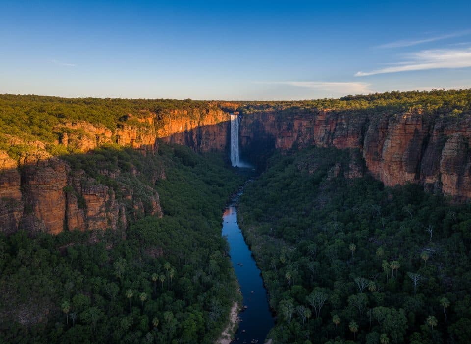
Kurrundie Falls drops from the Arnhem Land plateau into a secluded gorge. The creek's clay-rich soils can hold water later into the dry season than nearby sandy creeks, so pools may linger as the season advances. Watch for peregrine falcons around the cliffs, black wallaroos and antilopine wallaroos in the open country, and birds such as Gouldian finches and hooded parrots. The route also follows part of a historic 1946 mineral-exploration vehicle track.
This is a difficult, unmarked walk for experienced hikers who are comfortable navigating remote terrain. Expect heat, rocky footing, creek crossings, and limited or no signage after the Motor Car Falls section. If you want a shorter, friendlier taste of the area with a maintained route and swimming, Motor Car Falls is the better choice.
Bottom line: a rough, rarely trodden route from Yurmikmik to a dramatic waterfall. If you have the skills and the required permit, it is one of Kakadu's most satisfying quiet adventures.
Wildlife
 1,079 sightingsSaltwater CrocodileMost seen around 7 AMSighting map
 121 sightingsWater BuffaloMost seen around 6 AMSighting map
 76 sightingsFrilled DragonMost seen around 7 AMSighting map
 116 sightingsRed-tailed Black CockatooMost seen around 7 AMSighting map
 101 sightingsBrolgaMost seen around 7 AMSighting map
 299 sightingsMagpie GooseMost seen around 5 PMSighting map
Sighting maps show where each species has been reported across Kakadu. Wildlife moves, so no sighting is guaranteed.
Keep exploring
 EasyGunlom Plunge Pool Walk0.4 km · 10 min · 10.2 km awayShort, flat walk to a fenced view of Gunlom's lower plunge poolEasyIkoymarrwa (Moline Rockhole) Walk0.2 km · 15 min · 22.3 km awayShort 4WD-access stroll to Lower Ikoymarrwa (Moline Rockhole).
 EasyBukbukluk Lookout Walk0.8 km · 30 min · 22.3 km awayA quick roadside stroll to big southern Kakadu views and a picnicModerateMaguk walk3.2 km · 1.5 hr · 23.2 km awayA short but rocky return walk through monsoon forest to Maguk Falls and its clear plunge pool
 Sight · 3.2 km awayMotor Car FallsSecluded waterfall with a deep emerald pool and wet-season access
 Campground · 6.6 km awayKambolgie CampgroundQuiet bush campsite by a billabong, handy for southern walks
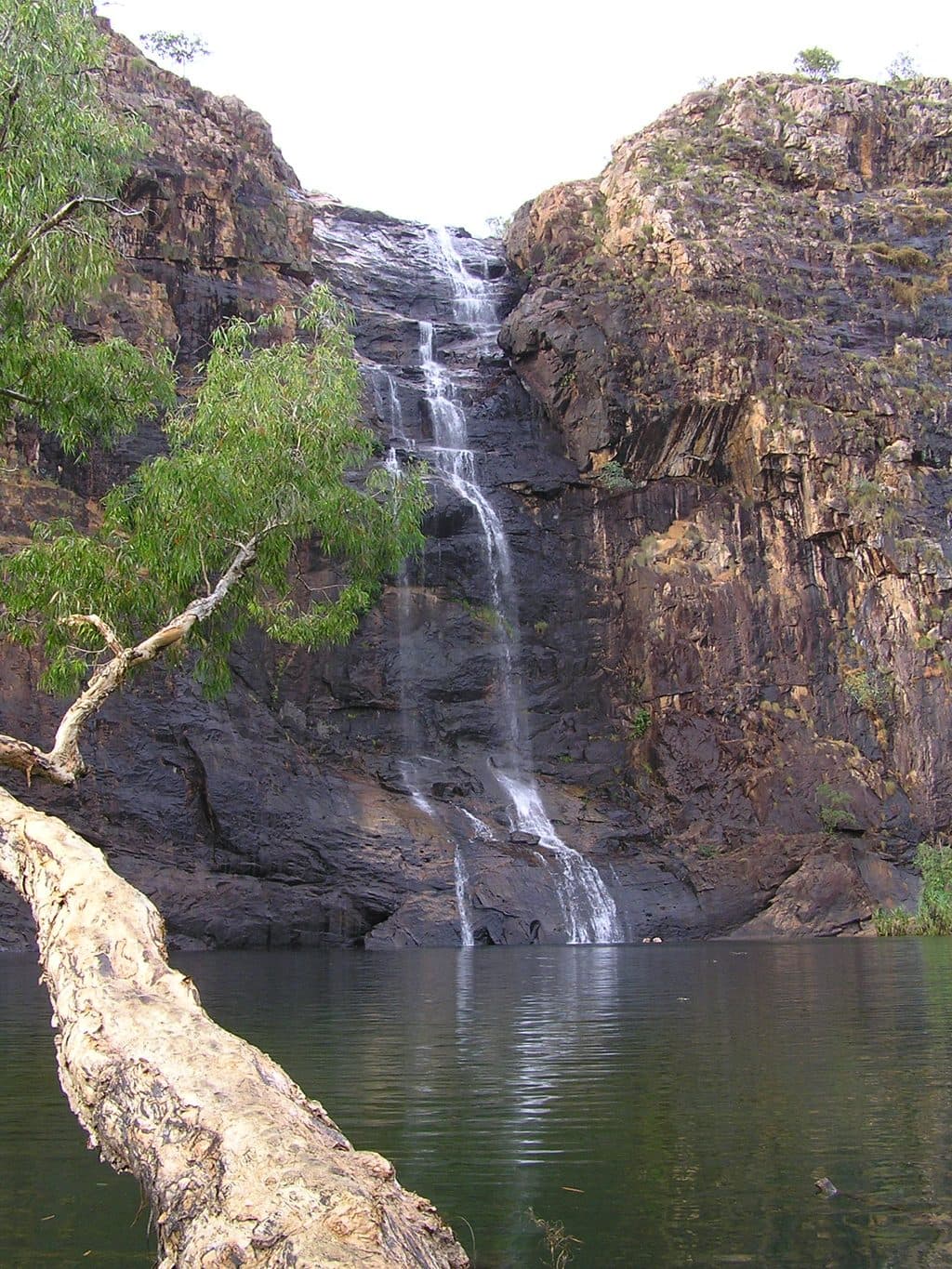 Sight · 10.4 km awayGunlom FallsTop End infinity pools with big views and a classic plunge pool
 Sight · 13.8 km awayJarrangbarnmi (Koolpin Gorge)Permit-only gorge with dreamy rock pools and real solitude
Parkwolf’s Kakadu ranking
The audio tour guide for the drive, plus offline maps, trails, and wildlife heatmaps for when the signal drops.