Moraine and Funnel Creek Confluence in Katmai National Park

Sight · Katmai National Park

Moraine and Funnel Creek Confluence

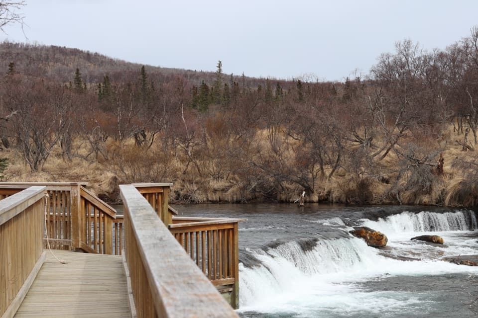
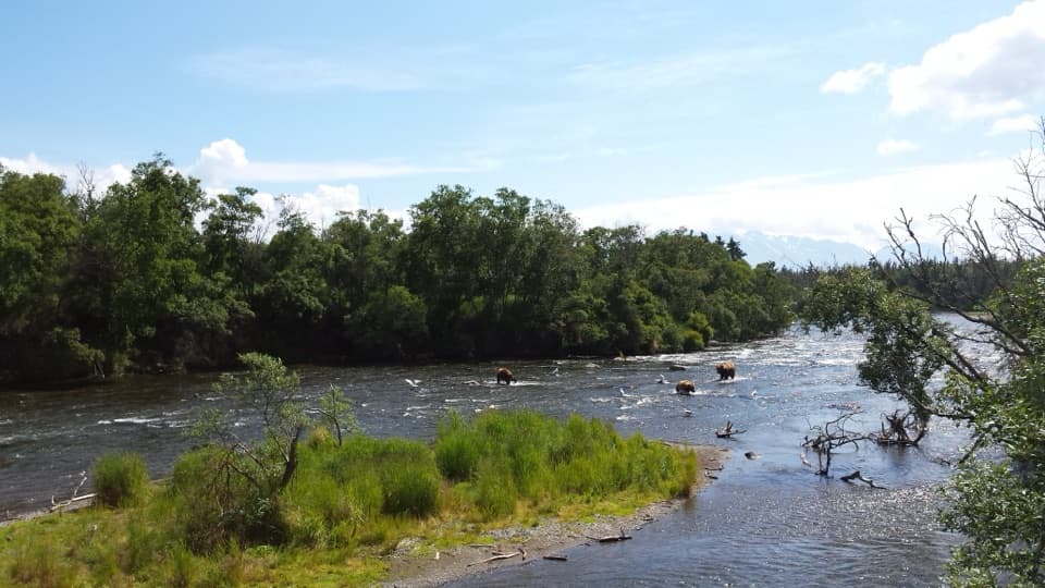
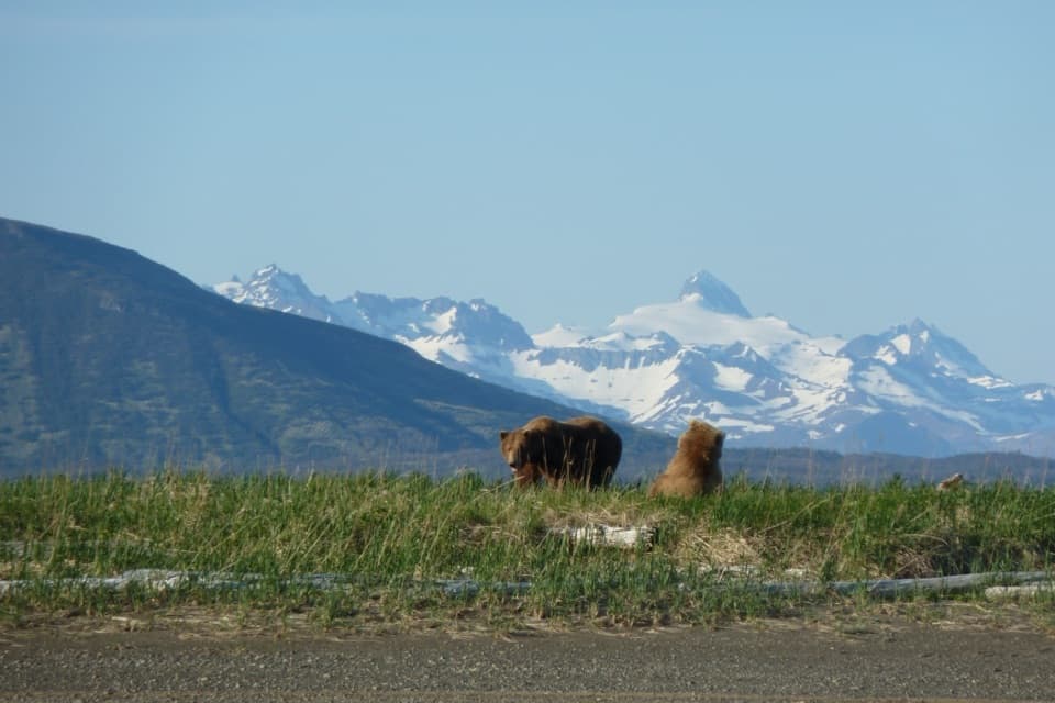
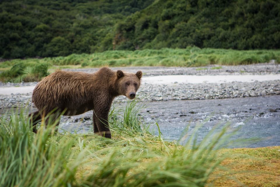
Bears gather when sockeye push into these open tundra creeks.

Type
Sight
Parkwolf audio tour27 stories across Katmai’s roads
Download Parkwolf on the App StoreGet Parkwolf on Google Play

4.7 from 8,600+ ratings

Overview

About Moraine and Funnel Creek Confluence

Why stop

  • Sockeye runs bring a notable concentration of brown bears.

Heads up

  • A fly-in wilderness trip takes careful planning.

Map

Where it is

Loading the Katmai map
Full map
SightMoraine and Funnel Creek Confluence59.21003, -154.96311
Keep this map with you offline in the Parkwolf app

Plan your stop

Before you go

Know the bear rules

Katmai requires bear-resistant food containers in the backcountry and at least 50 yards of space from bears. Camping is prohibited within half a mile upstream or downstream of the confluence from July 1 through August 31. That seasonal rule restricts camping there, not all day visits. Keep food secured and follow current park directions throughout the trip.


1 active Katmai alert

  • CautionResuspended volcanic ash near KatmaiResuspended volcanic ash is being carried southeast near Katmai and the Valley of Ten Thousand Smokes; account for the health and aircraft hazards.Official details
Katmai alerts
A park ranger sits on a dash-mounted phone, talking, as Parkwolf’s Tour Guide plays “Army Cutworm Moths: A Grizzly Bear Buffet” on Grand Loop Road below Dunraven Pass in Yellowstone
Parkwolf Tour GuideThe highest, rockiest slopes around here are a summer buffet for grizzly bears.

Katmai Tour Guide

Your drive to Moraine and Funnel Creek Confluence, narrated.

Parkwolf is a GPS audio tour guide for Katmai National Park. As you drive, it chimes in with what’s ahead: hidden gems, upcoming stops, history, geology, and wildlife, right through your car’s speakers.

  • 27 audio storiesacross Katmai’s roads, triggered by GPS as you drive
  • Wildlife heatmapsfor Brown Bear, Sockeye Salmon, Wolf, and 13 more
  • Works offlinemaps, 7 trails, 30 places, and audio download before you lose signal
  • CarPlay readysimple controls built for the drive
★★★★★
“Fantastic app with many points of information… It’s great to just turn on while you’re driving and it gives you an audio tour of the national Park. We love it!!!!”
JMJamesApp Store review
Download Parkwolf on the App StoreGet Parkwolf on Google Play

4.7 from 8,600+ ratings

Guide

More about Moraine and Funnel Creek Confluence

A trip for bears and anglersMoraine and Funnel creeks meet in Katmai's open backcountry, in a remote place known for bear…

Moraine and Funnel creeks meet in Katmai's open backcountry, in a remote place known for bear viewing and sport fishing. This is a destination for a deliberate fly-in wilderness trip, not a quick stop on a road tour. It suits visitors who want to spend time on a salmon stream and are comfortable planning around remote access.

Aim for the salmon runSockeye reach the creeks in early August after a long journey up the Alagnak River and through…

Sockeye reach the creeks in early August after a long journey up the Alagnak River and through Kukaklek Lake. Their arrival brings a concentration of brown bears to the creek corridor and its confluence. That is the draw, but bears are wild animals; a trip in the right season still can't promise a close or dramatic sighting.

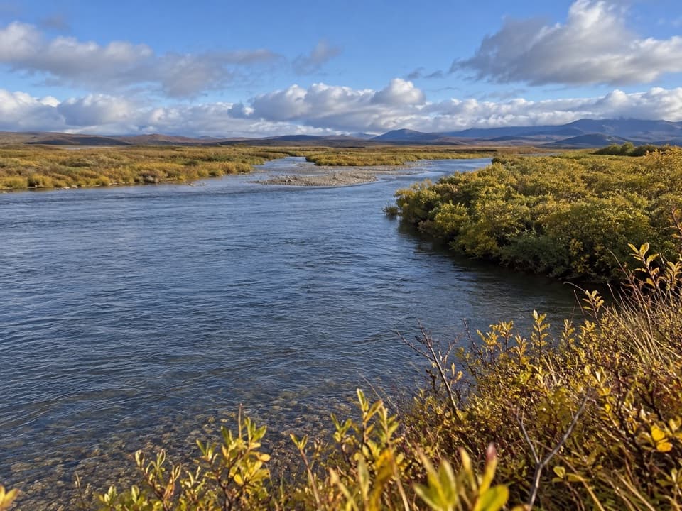
Read the creek and the landThe creeks run across high tundra at about 1,100 feet, between smooth, low ridges shaped by…

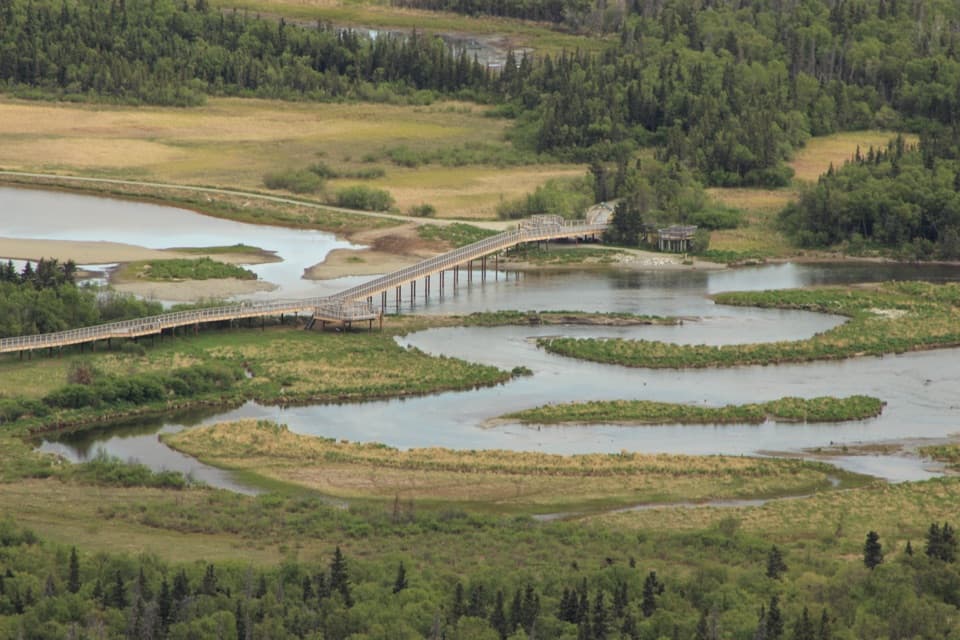
The creeks run across high tundra at about 1,100 feet, between smooth, low ridges shaped by glaciers. Moraine Creek has cut down through mixed glacial deposits, leaving a layered bank of rocks with different colors and origins. For a landscape photo, include both channels and some of the gravel bar so the meeting point reads clearly.

Plan this as a fly-in tripThere is no road approach.

There is no road approach. Visitors reach the area by air service, lodge trip, or guided backcountry outing; the final approach may involve hiking, wading, or traveling by boat. Confirm the landing point, route, and current conditions with the operator before you commit. Backcountry permits aren't required, but a trip plan is recommended.

Don't count on easy resupply at the creek. For an independent trip, arrange your own food and water treatment; lodge and guided-trip provisions are a separate arrangement. The open tundra can be windy, so leave room in your plans for weather.

Fishing and floatingThe creeks are also a sport-fishing destination.

The creeks are also a sport-fishing destination. A float trip is a bigger commitment than standing at the bank: shallow water and rocky sections can mean getting out to walk or portage. Plan the route and equipment with someone who knows the drainage, especially if your trip continues downstream.

Wildlife

Wildlife in Katmai

All Katmai wildlife maps

Sighting maps show where each species has been reported across Katmai. Wildlife moves, so no sighting is guaranteed.

Parkwolf’s Katmai ranking

Top sights in Katmai

All 30 places
  1. 1Brooks Falls PlatformSight
  2. 2Riffles PlatformSight
  3. 3North PlatformSight
  4. 4South PlatformSight
  5. 5Hallo BaySight
  6. 6Geographic HarborSight

Take Parkwolf to Katmai.

The audio tour guide for the drive, plus offline maps, trails, and wildlife heatmaps for when the signal drops.

4.7 from 8,600+ ratings

Download Parkwolf on the App StoreGet Parkwolf on Google Play