Overview
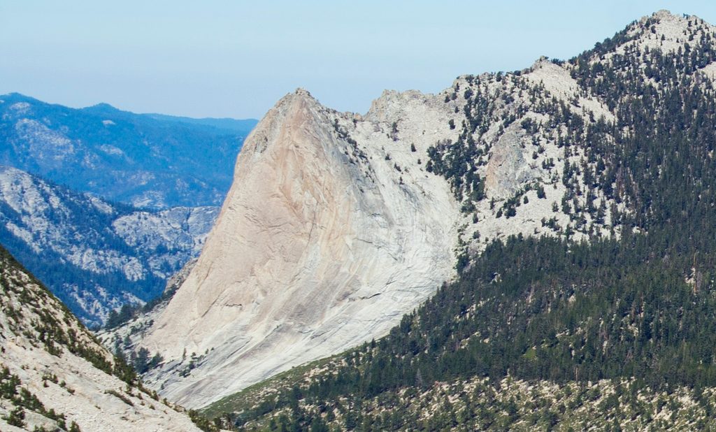
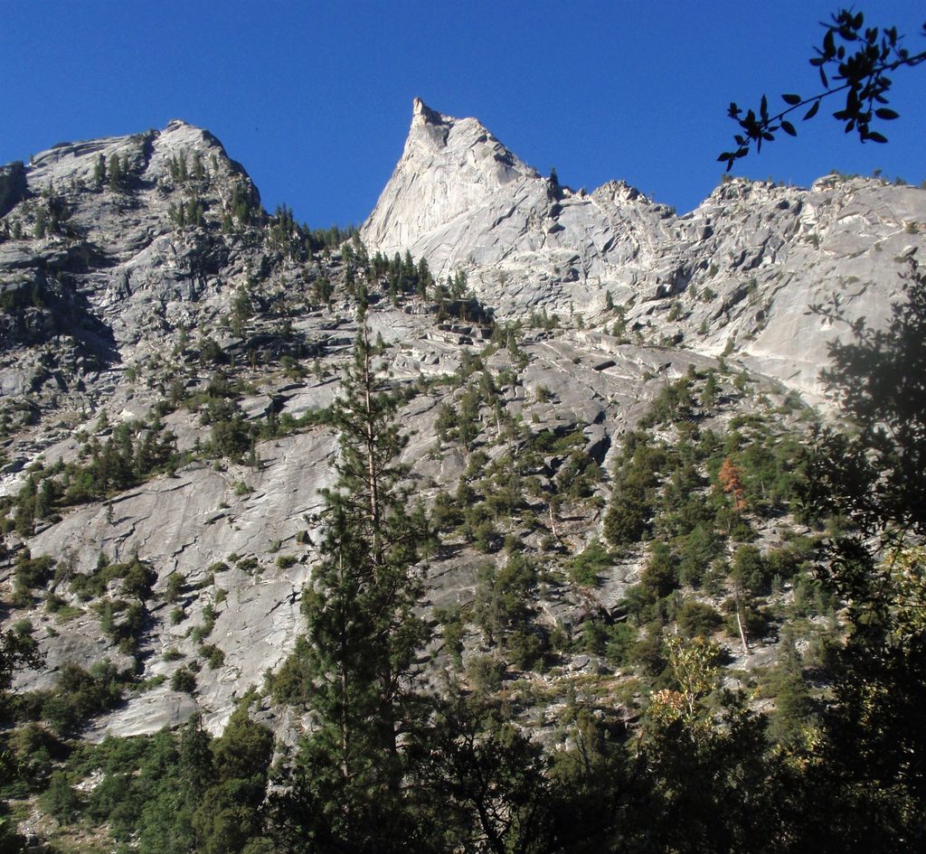
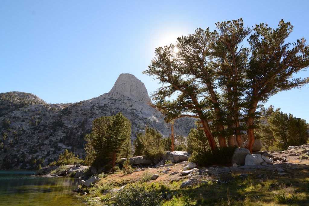
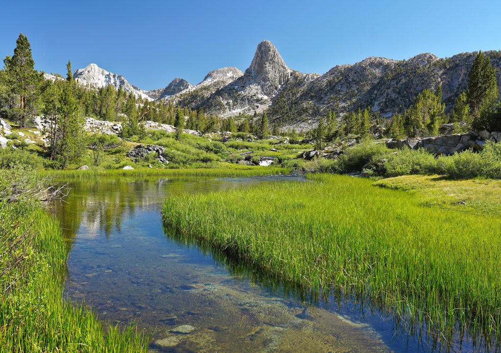
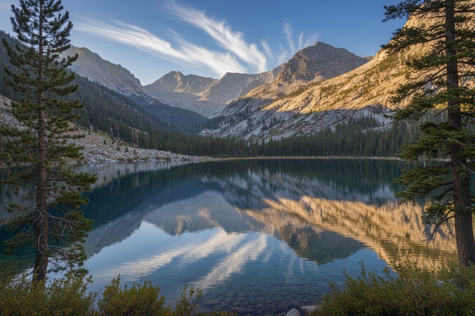
Charlotte Dome is a striking 10,600-foot granite monolith on the east side of the park, famous for its sheer 1,600-foot south face and remote, wild setting. It’s best known for the South Face rock climb, a bucket-list classic, but there’s also a non-technical Class 3 way to the top if you’re comfortable on slabs and exposure.
Approaches
- West side: From Road’s End, take the Bubbs Creek Trail roughly 7–8 miles to Charlotte Creek, then leave the trail and follow a faint use path on the west/northwest side of the creek toward the dome. Expect intermittent tread, low scrub, granite slabs up to about 30 degrees, and some brush near the creek. Water is available in season, and mosquitoes can be fierce.
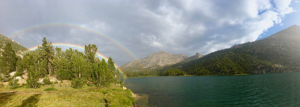
- East side: From Onion Valley over Kearsarge Pass past Charlotte Lake, plan on roughly 12–12.5 miles to the base. It’s a big day if done in one push, with steady water access and huge views—heat can be a factor, so early starts help.
Climbing and Scrambling
- South Face (trad): A long, aesthetic line with most pitches in the moderate range (commonly cited around 5.7–5.8). Parties report generally straightforward routefinding to the summit ridge, some PG-13 spacing, and a memorable 3D “Furrows” pitch that brushes past a bit of vegetation. The airy summit ridge often goes unroped by confident teams. Descent typically heads north on cairned dirt bands to skier’s left of slabby sections.
- Class 3 summit: The dome can be reached without technical gear via the NE slabs. Many scramblers prefer these broad slabs over the bouldery north ridge, which tends to be slower. Expect big exposure when you peer over the South Face from the top.
Logistics: Permits, Food Storage, Camping
- West-side trips use Sequoia–Kings Canyon wilderness permits (in season at Road’s End). East-side approaches use Inyo National Forest wilderness permits. Proper food storage is required; rangers have required bear-resistant systems here.
- Bear boxes are available at common camping nodes along the approaches (including the Bubbs/Charlotte Creek crossing and around Charlotte and Kearsarge Lakes). In the backcountry, there are no toilets, no trash service, and no treated water—plan accordingly.
- Road’s End has frontcountry parking and vault toilets before you head in. Many parties camp in the upper Charlotte Creek drainage; practice Leave No Trace.
Season and Conditions
The road into Cedar Grove/Road’s End closes in winter. Typical season runs late spring through early fall, with prime climbing conditions in summer to early fall. Start early to dodge heat on approaches and to reduce risk from afternoon thunderstorms.
Is It Worth It?
For strong hikers and climbers, Charlotte Dome is one of the park’s great remote objectives—committing approaches, big Sierra granite, and a summit that feels earned. If you’re short on time or not into off-trail travel, it’s better saved for a dedicated trip.
Best Time to Visit
- Summer through early fall for snow-free slabs and reliable water along approaches.
- Start before sunrise to beat heat and typical afternoon storms.
- Weekdays see fewer parties; it’s remote enough that even weekends can feel quiet away from the main trails.