
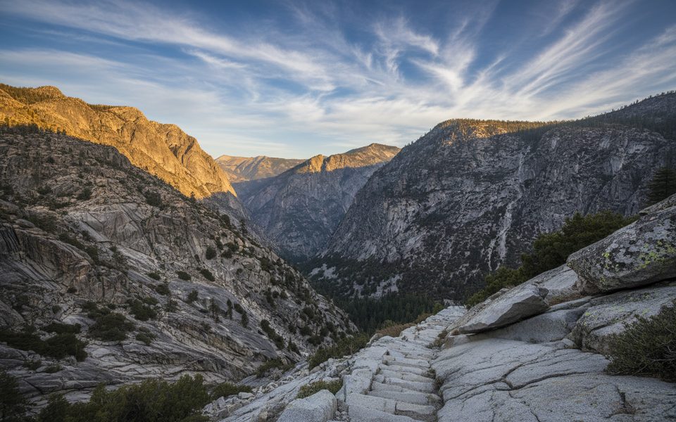
Place · 1.6 mi away
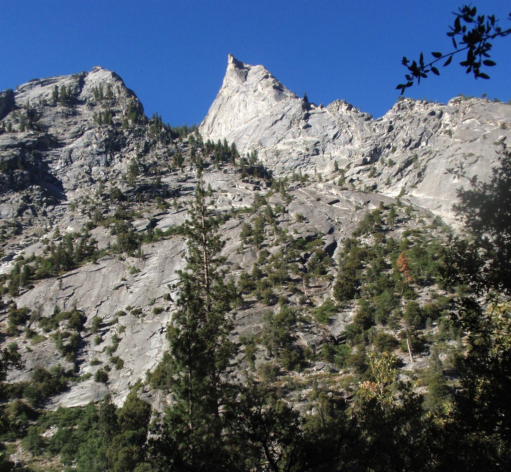
The Sphinx is a 9,143‑foot, double‑summit granitic pillar perched above the heart of the main canyon. It towers roughly 4,000 feet in about a mile of horizontal distance, so it dominates the skyline near the confluence of Bubbs Creek and the South Fork Kings River. John Muir named it in 1891, and it remains one of the most recognizable walls looming over Cedar Grove.
You don’t need to climb to appreciate it. The best easy looks come from Cedar Grove along CA‑180, especially near Road’s End, and along the lower Bubbs Creek Trail, where you glance south across the canyon. Strong hikers get closer perspectives by heading up the Bubbs Creek corridor; the steep Sphinx/Avalanche Pass area south of the creek puts you nearer the formation.
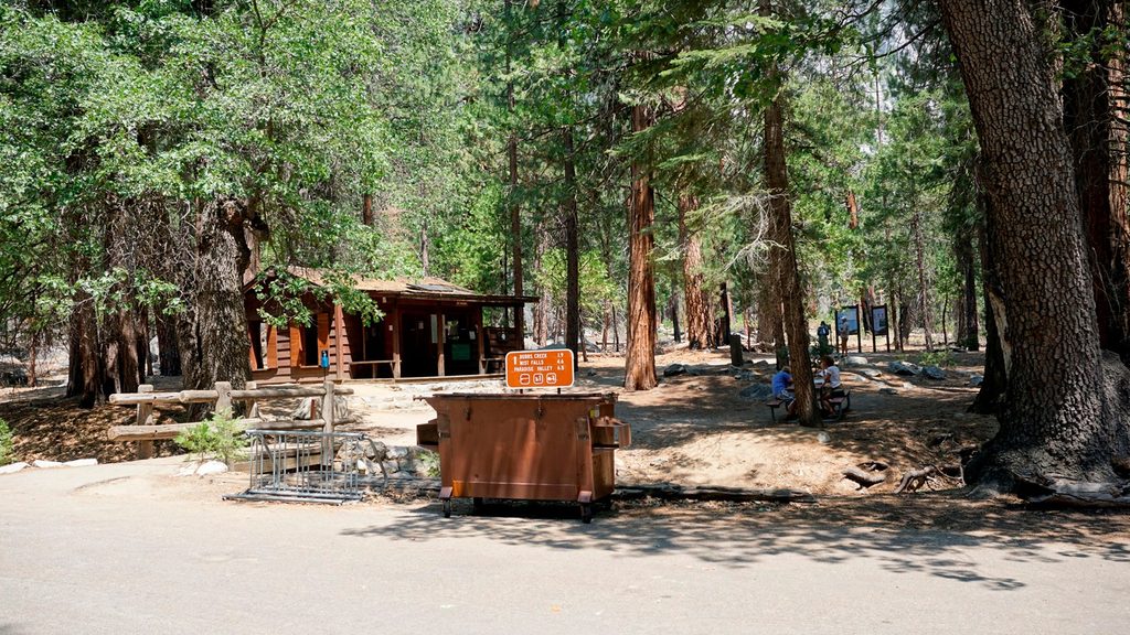
Highway 180 is the only road into the main canyon and ends at Road’s End in Cedar Grove. Parking here serves Bubbs Creek, Paradise Valley, and Woods Creek trails—the corridor beneath The Sphinx. A vault toilet at Road’s End is the last developed restroom before you enter wilderness, and these lots can fill early on busy summer days. Access to Cedar Grove via Highway 180 is seasonal, so always check conditions before you go.
The Sphinx is carved from the Sierra Nevada’s granitic batholith—magma that cooled deep underground and was later uplifted. Repeated glaciations sculpted Kings Canyon into a classic U‑shaped valley with sheer walls; The Sphinx stands on that canyon rim, its resistant granite leaving the dramatic relief you see today.
This is a climber’s objective, not a hiking summit. The first recorded ascent was in 1940, and the North Buttress saw a notable ascent in 1970. Classic routes are around moderate fifth class, with complex route‑finding—plan accordingly.
While not specific to this outcrop, the surrounding forests and river corridor support the park’s usual suspects—deer, black bears, and a variety of birds—especially noticeable at dawn and dusk along the trails below.
Late spring through fall offers the most reliable access and clear views. Early season snow can linger on shaded aspects above the canyon. In midsummer, the canyon heats up and afternoon thunderstorms are possible—start early for cooler temperatures and softer light. Weekends and holidays see the most parking pressure at Road’s End; weekdays and early mornings are quieter.
Place · 1.6 mi away
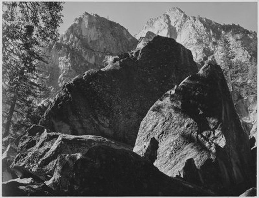
Place · 2 mi away
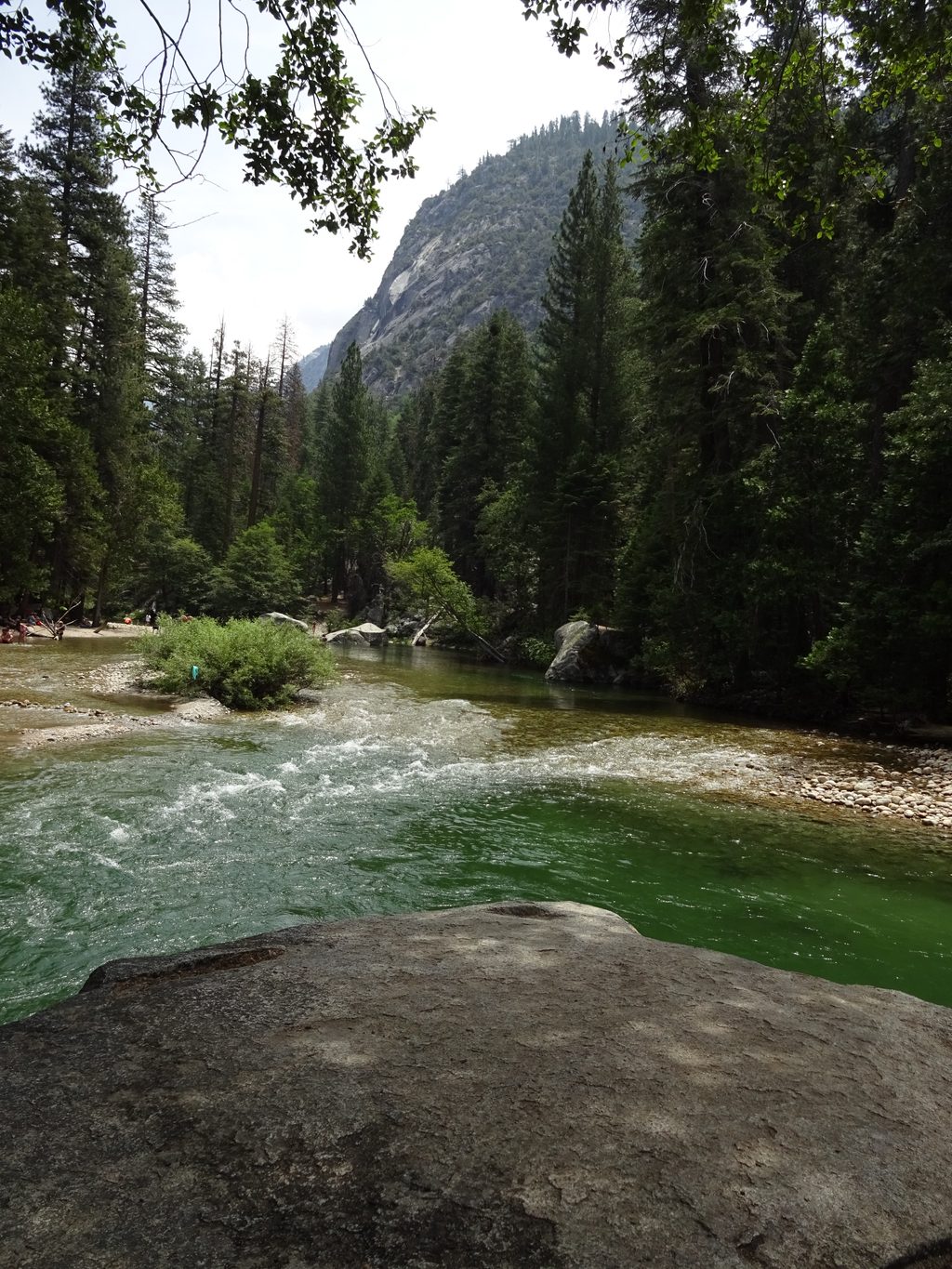
Place · 2.4 mi away
Place · 2.4 mi away
Challenging · 2.4 mi away
Challenging · 2.4 mi away
Challenging · 2.4 mi away
Challenging · 2.4 mi away

Parkwolf Tour Guide
