
Place · 2.2 mi away
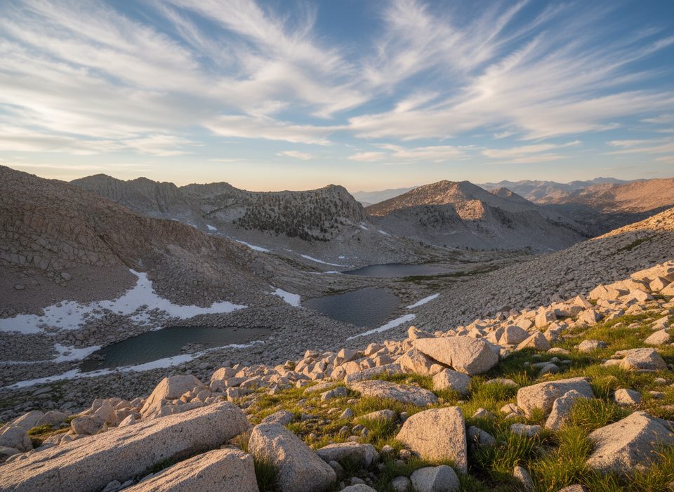
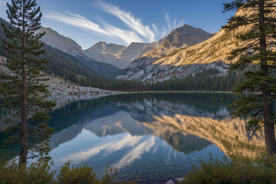
Sphinx Lakes is a rugged, high-elevation granite basin dotted with a chain of cirque lakes below Sphinx Pass. It’s gorgeous and remote—the kind of place you come for big Sierra scenery and real solitude. Expect a serious effort: steep on-trail climbing out of Cedar Grove, then cross-country route-finding on slabs, talus, and moraines.
Start from Road’s End in Cedar Grove. You’ll follow the Bubbs Creek corridor to the Sphinx Creek junction, then grind up the Avalanche Pass (Sphinx) switchbacks. From near Sphinx Creek, you’ll leave maintained trail and go cross-country to reach the lower lake basin. Two common lines are used: a more direct contour on the north side of Sphinx Creek to the lower lakes, or crossing the creek where the trail does and ascending on the west side, staying a bit off the water to avoid brush. Both involve granite slabs, talus, and navigation. From the first lake, it’s a stair-step progression to the twin middle lakes and the upper lakes below Sphinx Pass.
For strong parties, ballparks are roughly 4.5–5.5 hours to the first/twin lakes and 7.5–8 hours to Sphinx Pass. Reaching the high lakes as a day trip is possible for very fit, efficient navigators; most people treat this as a 2–3 day backpack. Total distance and gain can approach ~26 miles round trip with 6,500+ feet, depending on your line and turnaround.
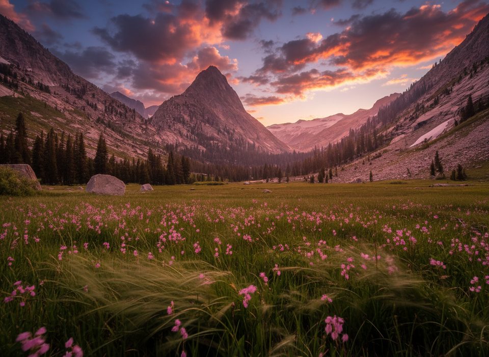
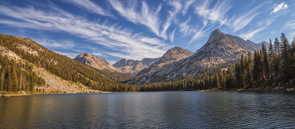
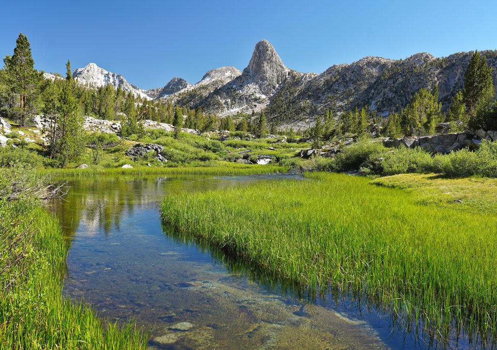
Classic Sierra Nevada: polished granite, glacial moraines, airy slabs, and a ladder of blue lakes. The pass area opens views toward Mount Brewer, North Guard, and South Guard. Lower basin meadows can be swampy mid-season, and the whole area feels wild once you leave the main trail corridor.
This is advanced backcountry travel: steep maintained trail plus cross-country at altitude with complex terrain. It’s best for experienced hikers who are comfortable with talus, route-finding, and self-reliance. Water is abundant along the approach and in the basin—treat everything.
Early season brings high, cold flows at Sphinx Creek and lingering snow/ice at the upper lakes, which makes slab and talus travel more serious. Mid-season can mean intense mosquitoes in the meadows. Late season generally offers lower water and easier crossings. Summer is the busiest time at trailheads; once you’re off-trail, you’ll likely see few people. Air quality can vary with regional smoke.
Road’s End has restrooms and serves as the launch point for this trip. There are no facilities along the route or at the lakes—plan for full Leave No Trace practices. Wilderness permits are required for overnights (typically reserved in advance in peak season). A commonly used first legal campsite on the approach is near Sphinx Creek Junction, about four miles from Road’s End. Bear-aware food storage and standard backcountry hygiene are mandatory.
If you’re a strong hiker with solid navigation chops, Sphinx Lakes is an underrated gem—wild, austere, and deeply rewarding. If you’re new to cross-country Sierra travel, consider a lower-commitment destination first and save this for when your legs and map skills are ready.
Place · 2.2 mi away
Place · 2.8 mi away
Place · 3.5 mi away
Place · 3.7 mi away
Challenging · 5.9 mi away
Challenging · 5.9 mi away
Challenging · 5.9 mi away
Challenging · 5.9 mi away

Parkwolf Tour Guide
