
Place · 0 mi away
Challenging
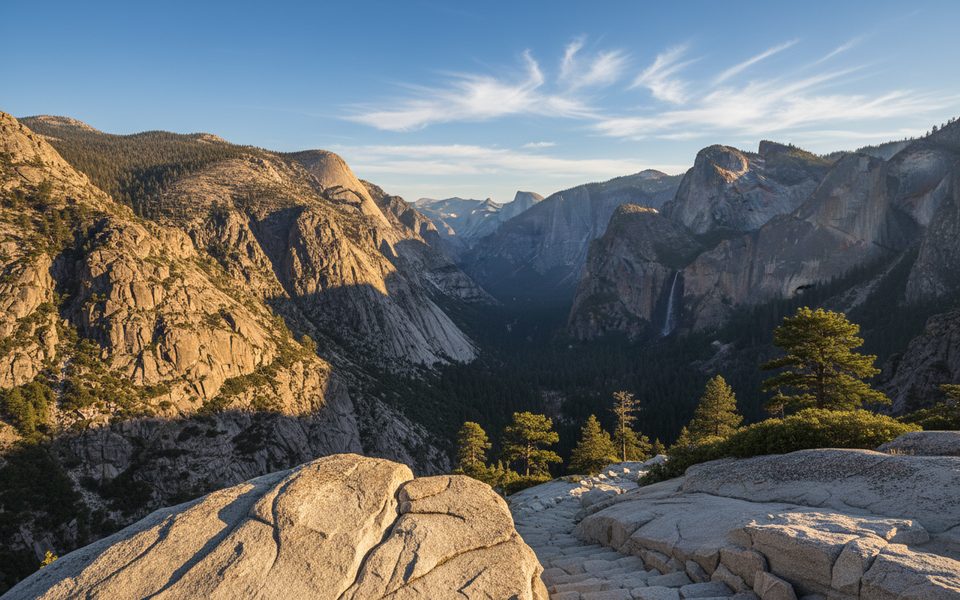
This is a classic, butt‑kicking Sierra climb with real payoff and real solitude once you’re past the first few miles. Most backpackers tackle the full out‑and‑back from Road’s End to Roaring River at roughly 30.8 miles total with about 8,300 feet of elevation gain over 2–3 days. Very fit hikers sometimes day‑hike to the pass and back (about 17 miles total, ~5,000 feet of gain), but it’s a grind.
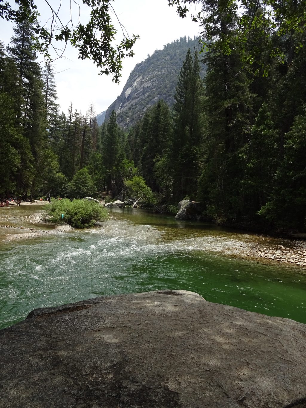
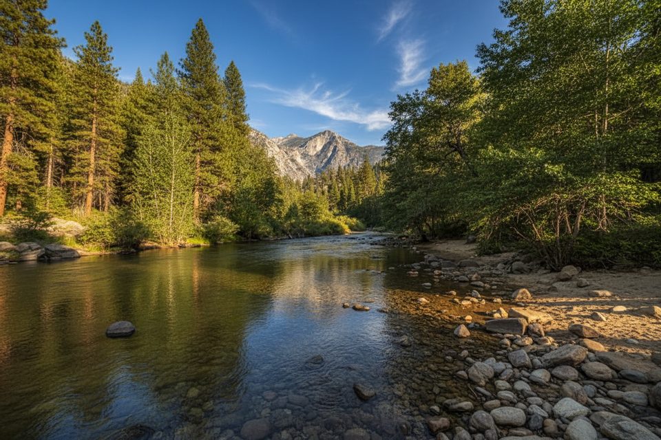
From Road’s End, the first couple miles are flat and sandy along the South Fork of the Kings River before you turn up Bubbs Creek and then Sphinx Creek. That’s where the real work starts: long, steep switchbacks with impressive stonework and sections of “staircase” steps carved into the rock. Forested travel and decent shade keep it tolerable, but exposure and heat still add up—start early. As you near the pass (around 10,000 feet), expect occasional minor tread washouts and spots where the on‑ground trail doesn’t perfectly match app lines—follow cairns and the obvious tread.
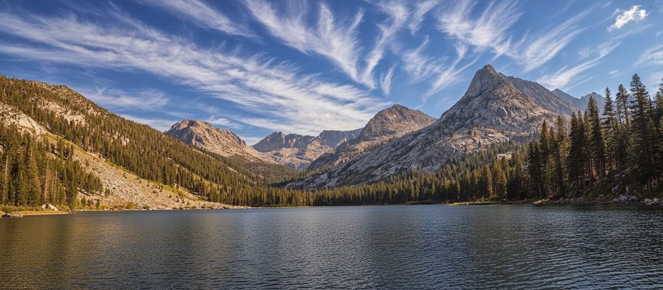
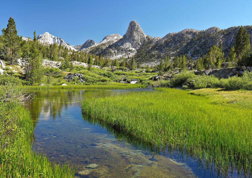
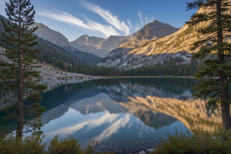
Views open to The Sphinx formation and back down Kings Canyon in the lower miles, then it’s a quieter, woodsy pass crossing rather than a barren, above‑treeline slog. Water is generally reliable at Sphinx Creek, Bubbs Creek, and Moraine Creek—still, carry extra for the hot switchbacks and always treat before drinking.
You’ll hike through lodgepole pine forest with seasonal wildflowers at higher meadows. Keep an eye out for glacial polish and striations on exposed granite slabs, and for the namesake Sphinx rock as you descend toward Bubbs Creek. Deer and black bears are common in this area—store food properly and stay bear‑aware.
Short answer: hard. The Sphinx Creek switchbacks include tall steps that are knee‑busting on the way down and punishing on the way up. Trekking poles make a big difference. If you’re doing the full Roaring River out‑and‑back, remember you must re‑climb the pass on the return.
Late June through October is typically the sweet spot, once snow recedes from the pass. Expect hot, exposed stretches on summer afternoons and be prepared for pop‑up thunderstorms. Weekends can be busy near Road’s End with Rae Lakes traffic, but you’ll find real solitude beyond the Sphinx Creek junction and over the pass.
Day hiking requires no permit; overnight trips require a wilderness permit. There are established camping areas near the Sphinx–Bubbs confluence and along Bubbs Creek. Pets are not allowed on park trails.
If you’re after bigger alpine lakes and a more famous loop, the nearby Rae Lakes circuit is the headliner. For solitude and a rugged, shade‑friendly pass, Avalanche delivers.
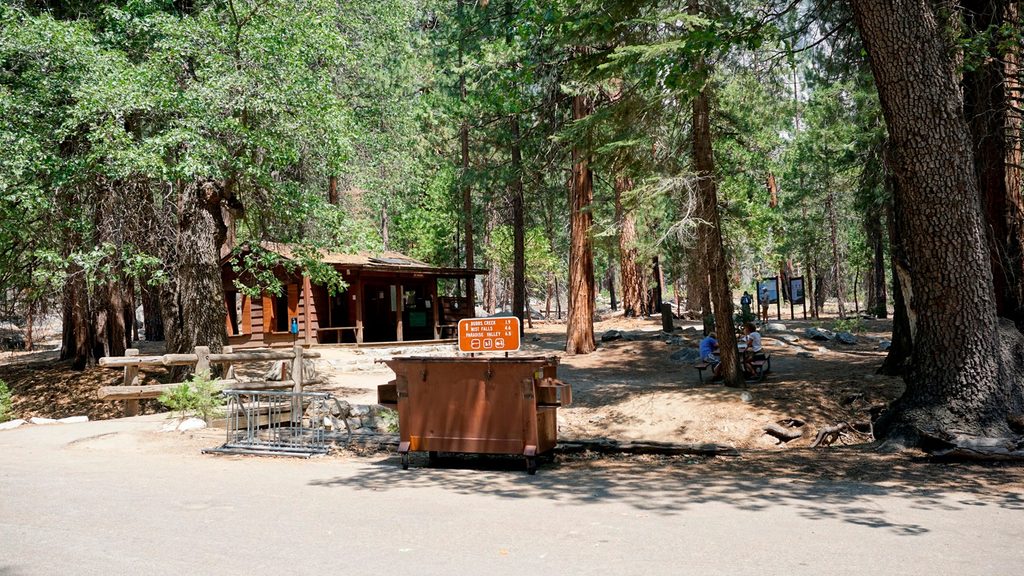
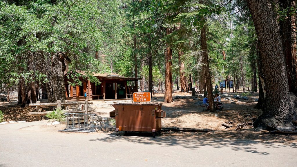
Park at the Road’s End Permit Station area; this is the standard start.
Steep, sustained switchbacks with tall steps; hot, exposed stretches; afternoon thunderstorms; minor washouts and occasional navigation quirks near the pass. Treat all water and practice bear‑aware food storage. Pets are not allowed on park trails.
Place · 0 mi away
Place · 0 mi away
Place · 0.1 mi away
Place · 0.1 mi away
Challenging · 0 mi away
Challenging · 0 mi away
Challenging · 0 mi away
Challenging · 0 mi away

Parkwolf Tour Guide
