
Place · 0 mi away
Challenging
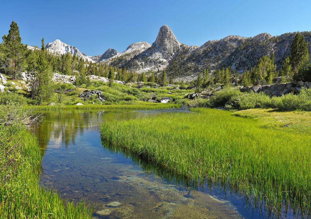
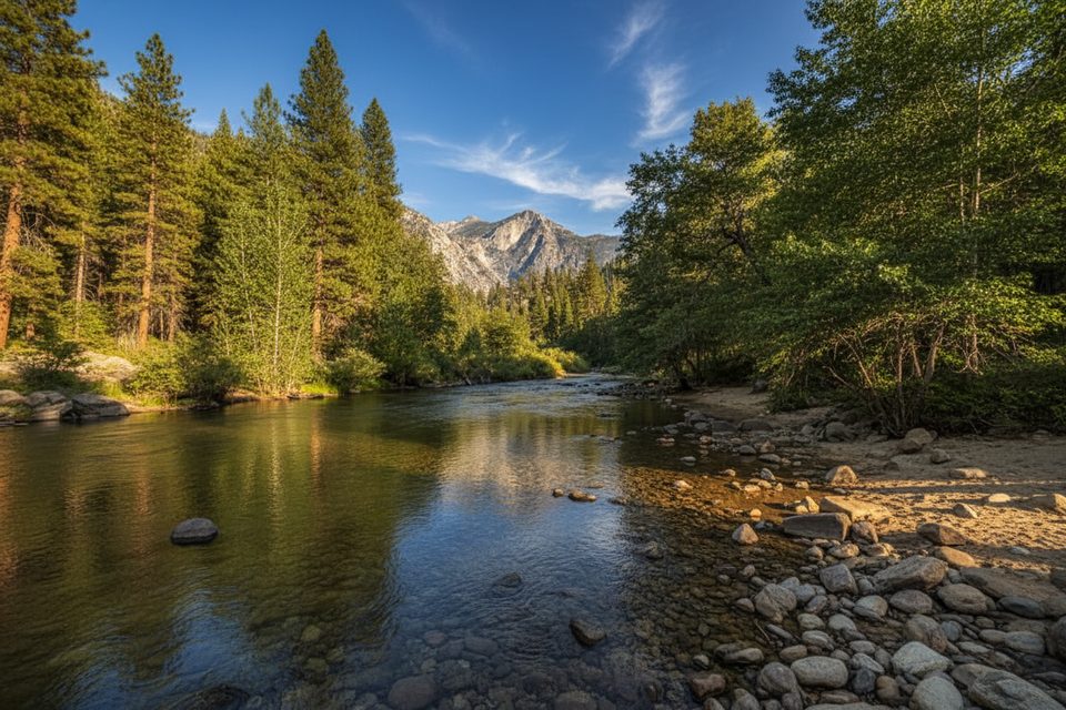
This is the classic approach from Road’s End up Paradise Valley and into the Woods Creek corridor, ending at the famous suspension bridge where the route meets the JMT/PCT. Expect polished granite walls, a roaring river for company, and big-Sierra scenery that just keeps improving as you climb. Most hikers tackle it as an out-and-back to the bridge or fold it into the full Rae Lakes Loop.
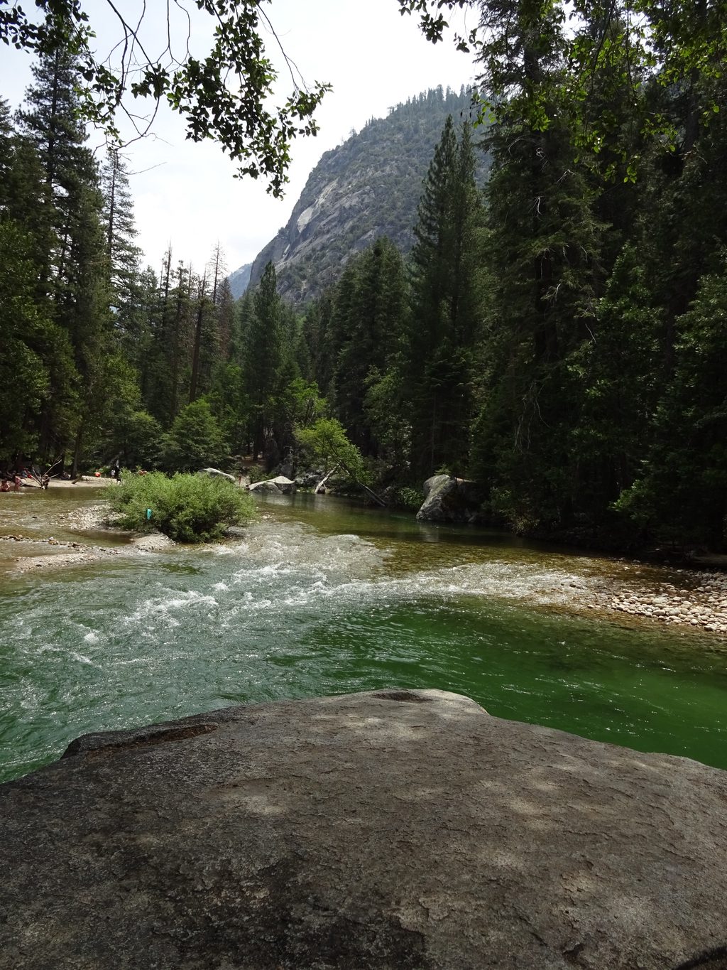
From Road’s End, follow the Paradise Valley Trail along the South Fork Kings River, passing thundering Mist Falls early—an obvious pause-worthy spot. Around 3.6 miles in, Castle Domes Meadow offers a lush breather with big granite views. Past Upper Paradise Valley (first camping about 6.5 miles from the start), the trail bends into the Woods Creek drainage, climbing steadily as the canyon narrows. You’ll often hear Woods Creek before you can reach it, catching glimpses between trees and granite slabs. The payoff is the airy Woods Creek Suspension Bridge—an iconic crossing and a natural turnaround if you’re not continuing higher toward Rae Lakes or over Glen Pass on the full loop.
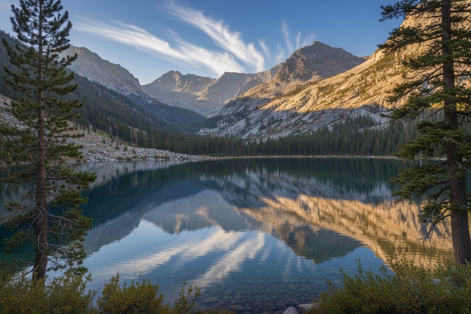
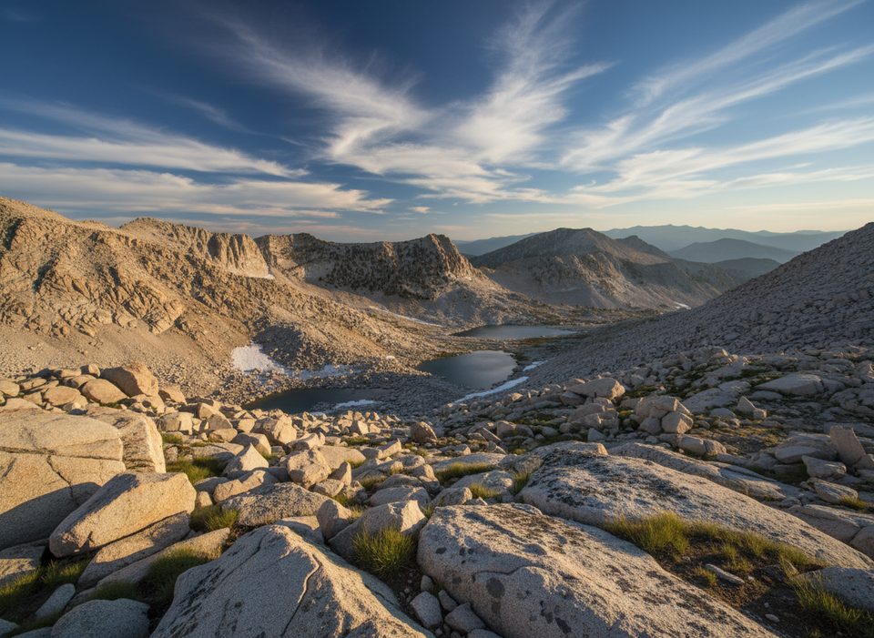
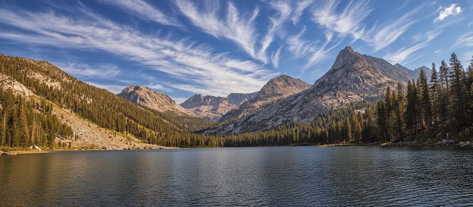
Views expand and evolve: look for Goat Mountain to the west, with Castle Domes and Acrodectes Peak framing the eastern skyline. Forested stretches give way to open granite and subalpine terrain as you gain elevation.
Prime season typically runs late June through September, depending on snowpack and road access. Early season can mean cold, higher creek flows; midsummer can be hot in the canyon with limited shade and lively mosquitoes near water. Start early to beat heat and the Mist Falls crowd, and aim for afternoon shade on the hike back down-canyon. Weekdays are calmer than weekends in peak months.
Overnight trips require a SEKI wilderness permit for entry from Road’s End. Expect competition for peak dates; a limited number of walk-up permits may be released mid-morning. Bears are active in Paradise Valley and near the Woods Creek junction—bear canisters are required for food storage; use provided bear boxes where available. Bear spray is not allowed here.
Established camping exists along the corridor, with Upper Paradise Valley the first logical overnight on the way up. Water is frequent along the river and creeks—carry a proper filter and top off regularly. Campfires are generally prohibited above 10,000 feet; know current fire rules before you go.
This is a moderate-to-challenging backpack due to length and steady climbing, but the grades are reasonable and the scenery pays you back all day. If you’re Rae Lakes-curious but not ready for the full 40+ mile loop, the bridge out-and-back is a fantastic, lower-commitment sampler of the route’s best features.
Keep an eye out for black bears in meadows and near camp corridors, and listen for the constant soundtrack of the South Fork Kings and Woods Creek as the canyon closes in. Granite domes, glacially carved walls, and subalpine forests define the scenery—this is classic Sierra Nevada backcountry.
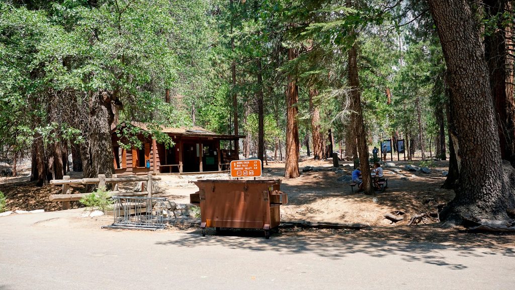
Park at Road’s End (Kings Canyon). Multiple lots but they fill early; store scent items in trailhead bear boxes.
Seasonal creek crossings, hot lower-canyon temps, active bears (canisters required), and sudden mountain storms; bear spray is not allowed.
Place · 0 mi away
Place · 0 mi away
Place · 0.1 mi away
Place · 0.1 mi away
Challenging · 0 mi away
Challenging · 0 mi away
Challenging · 0 mi away
Challenging · 0 mi away

Parkwolf Tour Guide
