
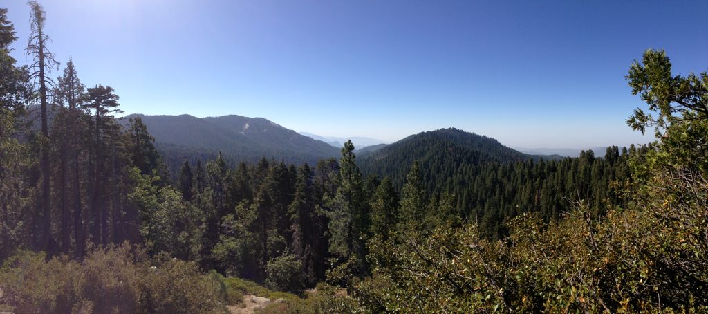
Place · 0.8 mi away
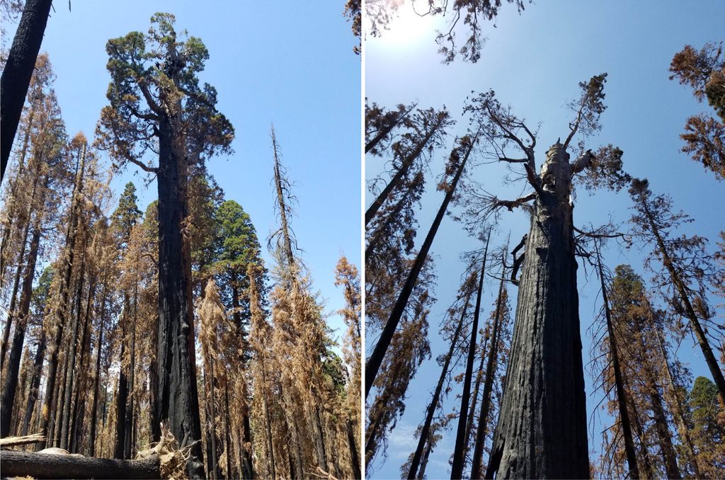
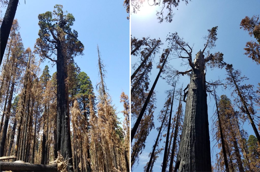
Hart Tree is a venerable giant sequoia anchoring the remote Redwood Mountain Grove. Once counted among the world’s largest by volume, it remains an awe-worthy elder even after the 2021 fire reduced its crown and bulk. The reward here isn’t just one big tree—it’s the feel of a deep, quiet canyon where sequoias tower above creeks and meadows, far from the main crowds.
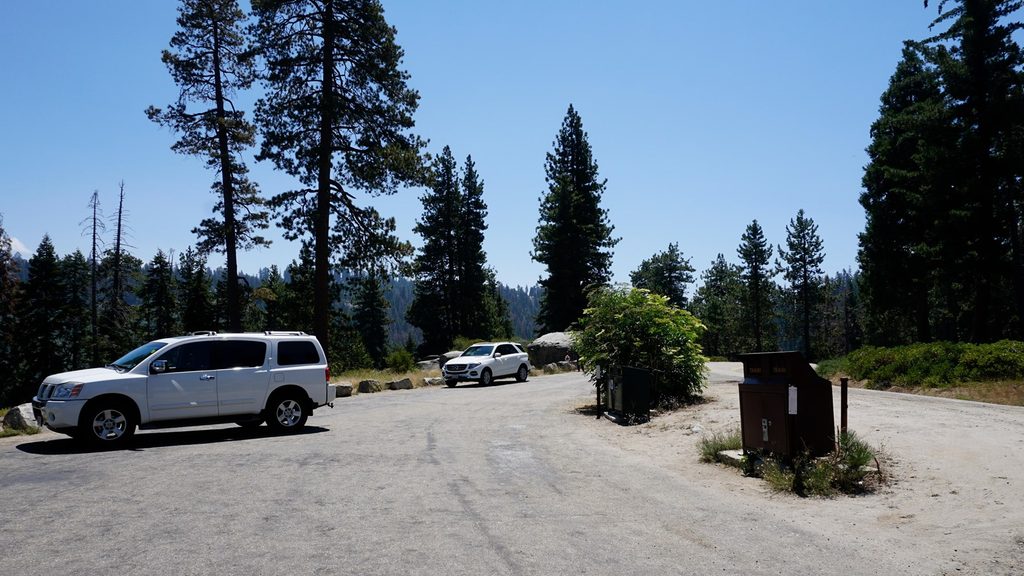
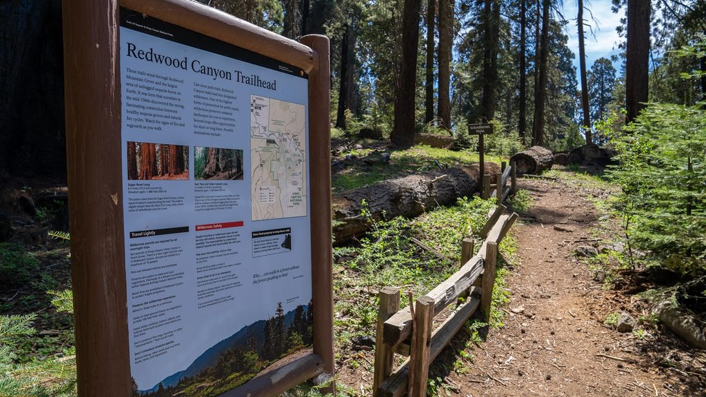
Access is via an unpaved spur off Generals Highway—often signed as Redwood Mountain Road/14S75—to the Redwood Canyon trailhead. This road commonly closes in winter and after storms; verify current status before you go. There are limited or no services at the trailhead (no water and often no toilets), so plan accordingly.
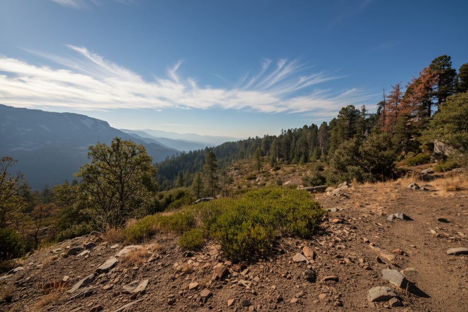
From the Redwood Canyon trailhead, it’s about 3.3 miles one way on the Hart Tree Trail to reach the tree. Many visitors stitch Hart into a loop: a shorter Hart Tree and Fallen Goliath loop around 7+ miles, or a bigger circuit linking Big Springs and the Sugar Bowl ridge around 10 miles. Expect a long descent from the rim and a steady climb back out, with some loose or steeper stretches. After fire, parts of the grove can be overgrown or have downed trees and muddy bits; conditions change, so check trail status before setting out.
Beyond Hart itself, the loop passes the massive Fallen Goliath, a hollow “Tunnel Tree,” creek crossings, and Hart Meadow, with occasional viewpoints and even a small waterfall along the broader circuit. Wildlife sightings are common—bears included—so keep food put away and give animals space.
The 2021 complex fire scarred the grove and altered Hart’s profile. The tree still stands proud, but you’ll notice blackened bark, open canopy, and a changed undergrowth. Temporary closures and hazard-tree work can affect routes—another reason to confirm current conditions before you go.
Don’t be fooled by the nearby Roosevelt “False Hart” tree. The real Hart sits slightly downhill and nearer to the Hart Tree Trail, while Roosevelt stands uphill; read signs carefully.
Late spring through fall is the sweet spot, once the dirt road reopens for the season (it typically opens around the week before Memorial Day and re-closes with winter weather). Start early for a parking spot and cooler temps; weekends and holidays fill first. In winter or shoulder seasons, snow and ice can shut roads or require chains. For real-time road and trail info, use the park’s conditions line.
Bring plenty of water, layers, and an offline map—cell service is unreliable. Many hikers prefer doing the big loop counterclockwise (descending via Sugar Bowl and returning past Hart) to make the climb back feel more gradual. Stay on established paths to protect fragile sequoia roots and to avoid poison plants along the margins.
Place · 0.8 mi away
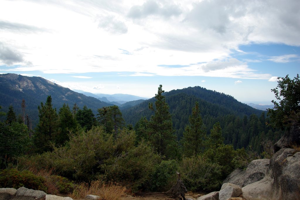
Place · 1 mi away
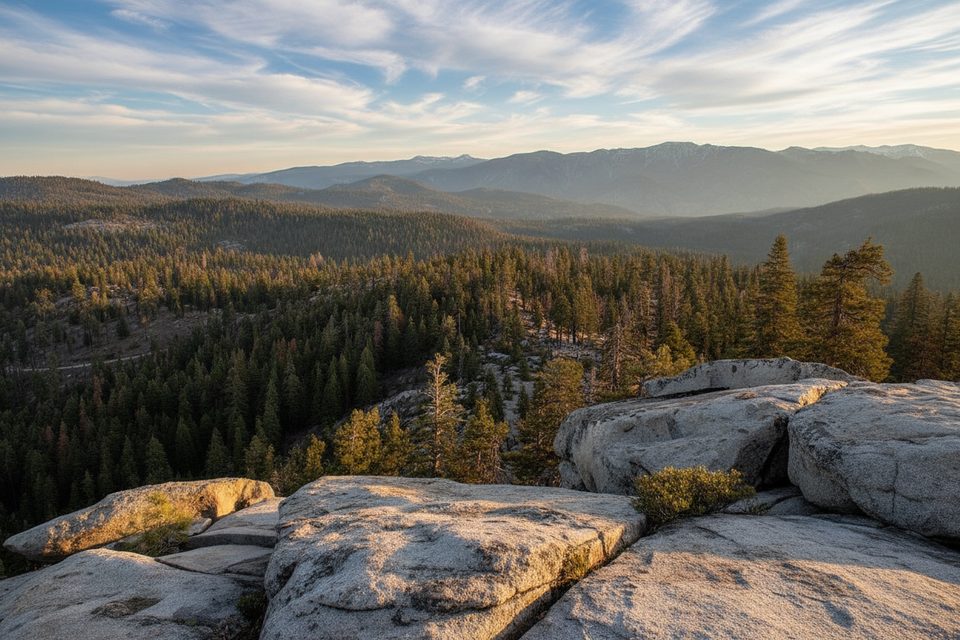
Place · 1.4 mi away
Place · 1.5 mi away
Moderate · 0 mi away
Challenging · 0 mi away
Moderate · 0 mi away
Easy · 1.5 mi away

Parkwolf Tour Guide
