
Place · 0 mi away
Moderate
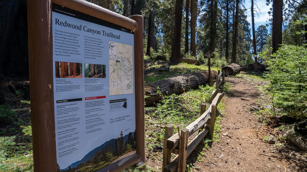
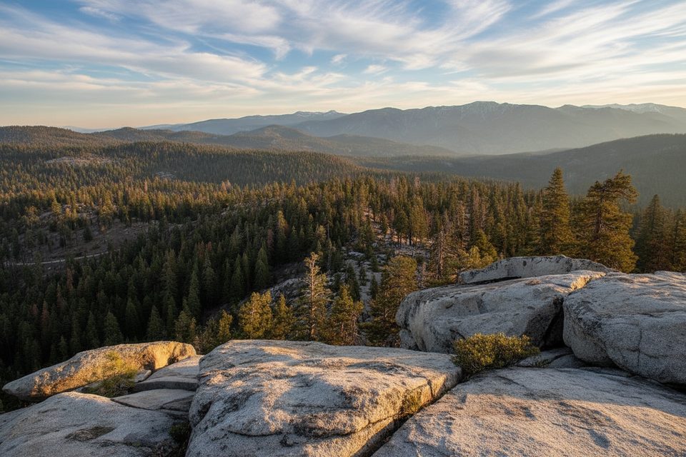
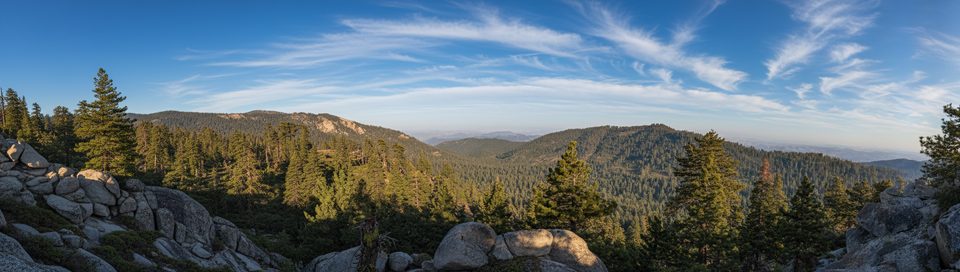
Redwood Canyon is home to one of the largest giant sequoia groves anywhere, and it feels it—wide trunks, hushed canyon air, and long stretches without seeing another hiker. This area is a network of loop options ranging from moderate to big-day territory. The headline route most hikers come for is the combined Redwood Mountain Loop, roughly 10 miles total, weaving together two classics: Sugar Bowl and the Hart Tree & Fallen Goliath loops.
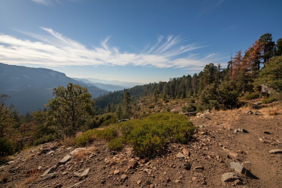
Expect real ups and downs on any option—nothing technical, but the climbs add up. Surfaces range from duffy sequoia tread to dusty, sometimes rocky stretches, with seasonal creek crossings.
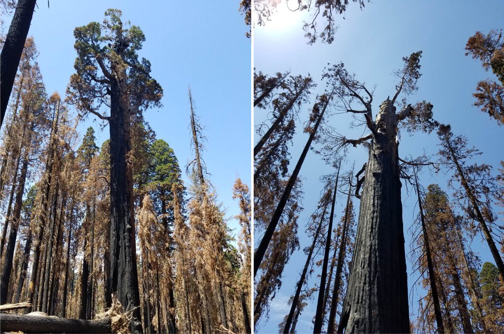
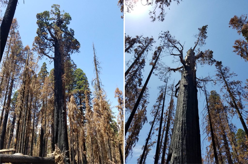
This is old-growth sequoia country, and you’ll walk through living fire history. The 2021 KNP Complex Fire burned much of the grove; you’ll encounter open patches with regenerating sequoia seedlings, snag-studded slopes, and healthy giants that weathered the burn. Spring brings wildflowers along the creeks and ridges, summer delivers dappled shade and warm temps, and fall dogwoods can light up the canyon. Keep an eye out for bear sign and—oddly—cattle that sometimes wander in from adjacent lands.
Post-fire impacts are ongoing. The trailhead has been posted closed “until further notice” at times, and some segments may close as conditions change. Expect blowdowns, occasional confusing junctions, and evolving signage. Before you commit to the drive, check current park alerts and be ready to adjust plans.
The trailhead sits about 2 miles down an unpaved, sometimes rutted road off Highway 180. Go slow; a high-clearance vehicle is helpful after storms. There’s parking, vault toilets, and bear boxes at the trailhead. The road is not accessible by vehicle in winter.
Late spring through fall is the sweet spot. Spring delivers cooler temps and wildflowers; early summer offers longer days with some heat; fall has crisp mornings and colorful dogwoods with mellow light for photography. Aim for early starts or weekdays for maximum solitude. Winter access to the trailhead by vehicle is closed.
If you want a more developed big-tree experience with easier access and clearer wayfinding, consider one of the park’s more built-up sequoia areas; for solitude and an instructive look at fire ecology, Redwood Canyon is the move.
Redwood Mountain trailhead, 2 miles down a rough, unpaved spur off Highway 180; parking, vault toilets, and bear boxes available. No vehicle access in winter.
Post-fire closures change; expect blowdowns, confusing junctions, creek crossings, bears, occasional cattle, rough access road, limited cell service, and no dogs on trails.
Place · 0 mi away
Place · 0.8 mi away
Place · 1 mi away
Place · 1.4 mi away
Challenging · 0 mi away
Moderate · 0 mi away
Easy · 1.5 mi away
Moderate · 2.4 mi away

Parkwolf Tour Guide
