Parking
Park at Buena Vista Peak Trailhead, across Generals Highway from Kings Canyon Overlook, about six miles south of Grant Grove Village. The area is flat and paved but has no designated accessible spaces.
#8 of 77 trails in Kings Canyon
Kings Canyon National Park, CA
A short climb to a granite dome above Redwood Canyon.
Overview
Buena Vista Peak Trail is a 2-mile out-and-back, climbing about a mile each way from Generals Highway to an open granite summit above Redwood Canyon. The route gains about 400 feet through mixed-conifer forest, past granite boulders and across slabs. Its payoff is a broad view over the canyon toward the Sierra crest. Allow one to two hours with time on top. It is a good choice when you want a real peak without giving up half a day; the walk is short, but the last natural-rock sections take attention.
 Parkwolf’s verdictIs this the short summit hike for you?
Map & elevation
Plan your hike

The highest, rockiest slopes around here are a summer buffet for grizzly bears.
Kings Canyon Tour Guide
Parkwolf is a GPS audio tour guide for Kings Canyon National Park. As you drive, it chimes in with what’s ahead: hidden gems, upcoming stops, history, geology, and wildlife, right through your car’s speakers.
See the Kings Canyon audio tourRecorded for this trailhead
Kings Canyon Overlook and Buena Vista Peak“Kings Canyon Overlook is coming up, an easy stop for a few minutes looking across forested ridges and distant mountains.”
Plays as you drive up to this trailhead in the Parkwolf Kings Canyon Tour Guide.
More stories near here in the app
“…The kids and my husband and I all agree that the narration really added to our experience driving through the parks. We learned so much about the history and the flora & fauna.”


Trail guide
The trail starts across Generals Highway from Kings Canyon Overlook. It rises through trees and boulder piles, then eases before bending right toward a field of granite slabs. Cairns sometimes mark the tread across the open rock. The route drops back into forest, climbs around the east and northeast side of the peak, and gains height again on a few switchbacks.
Near the top, the path reaches a clearing and makes a sharp right turn toward the summit. Look back at that bend before continuing. The trail fades where it crosses bare granite, and worn lines can lead away from the route on the descent. A saved track or careful attention to the cairns helps you retrace the same way.
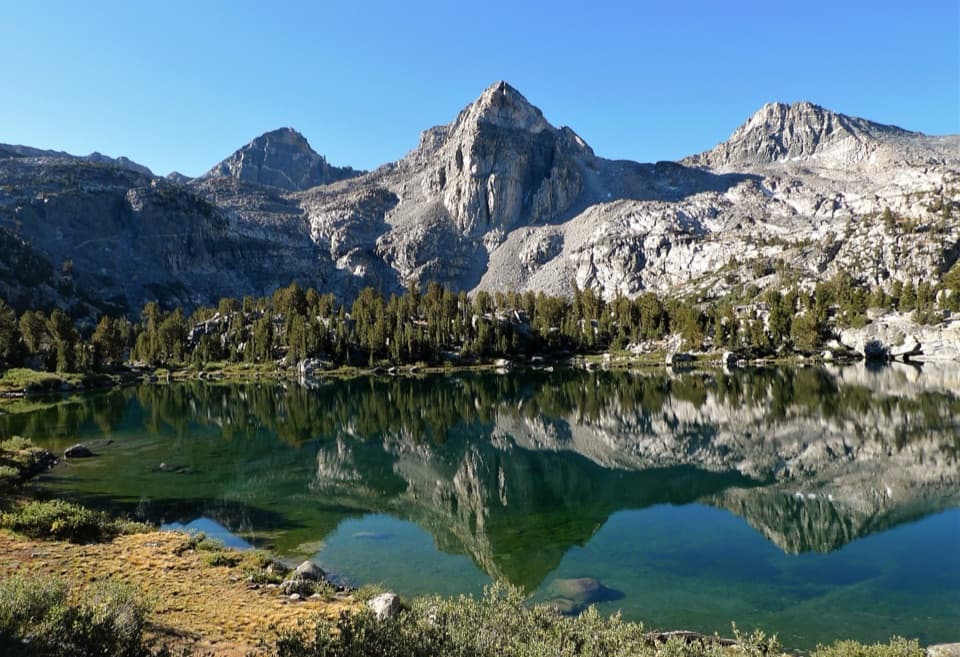
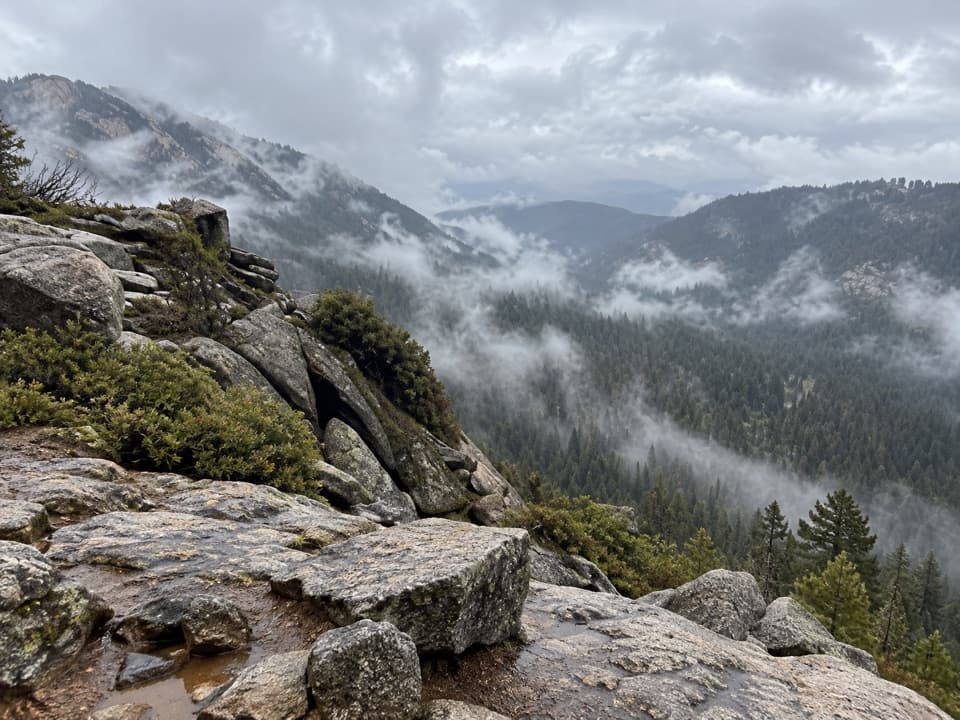
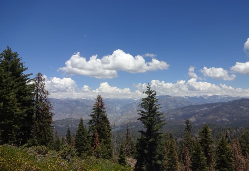
The trail arrives at a broad, sandy patch ringed by weathered boulders. Higher viewpoints sit on rocks just to the left, so wander a little instead of stopping at the first flat spot. Redwood Canyon spreads below, with the rounded crowns of sequoias visible along the far ridge. The 360-degree outlook also reaches Buck Rock Fire Tower and the high Sierra. For a photo, put a granite slab in the foreground and include the canyon rim; the sequoia crowns help show the distance.
The peak is an exfoliation dome: an exposed granite mass that has broken into curved layers as ice opened cracks over a long time. The broad slabs and stacked blocks around the summit make that process easy to see at walking speed. The rocks are not just scenery; they are the reason the route becomes less obvious near the top.
Park at Buena Vista Peak Trailhead, opposite Kings Canyon Overlook on Generals Highway, about six miles south of Grant Grove Village. The parking area is flat and paved, with no designated accessible spaces; the hike itself follows natural tread and uneven rock. Grant Grove Village is a separate stop about six miles north for food and visitor services. Pets are not allowed on park trails. No reservation or trail activity fee is listed, though park entrance fees may apply.
Wildlife
 227 sightingsBlack BearMost seen around 7 PMSighting map
 385 sightingsMule DeerMost seen around 7 PMSighting map
 188 sightingsMarmotMost seen around 8 AMSighting map
 118 sightingsPikaMost seen around 7 AMSighting map
 14 sightingsGolden TroutMost seen around 7 PMSighting map
 32 sightingsRainbow TroutMost seen around 7 PMSighting map
Sighting maps show where each species has been reported across Kings Canyon. Wildlife moves, so no sighting is guaranteed.
Keep exploring
 ModerateHart Tree and Fallen Goliath Loop7.3 mi · 4.5 hr · 1.5 mi awayA 7.3-mile sequoia loop to Hart Tree and Fallen Goliath.
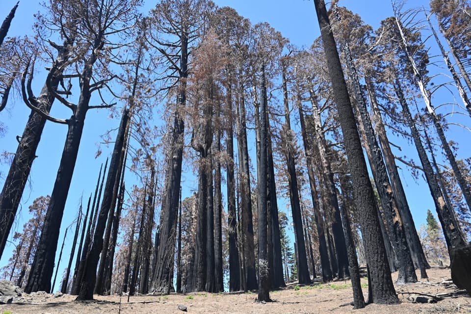 ModerateSugar Bowl Loop6.5 mi · 4 hr · 1.5 mi awayA sequoia loop with a ridge climb and a long descentModerateRedwood Mountain Loop10 mi · 7 hr · 1.5 mi awayTen miles of sequoias, old logging history, and ridge-top views.
 ModerateRedwood Canyon to Big Springs Trail11.3 mi · 6.5 hr · 1.5 mi awayAn 11.3-mile out-and-back from Redwood Saddle to Big Springs.
 ModerateBig Baldy Ridge Trail4.4 mi · 2.5 hr · 1.8 mi awayClimb a forested ridge to granite views over Redwood Canyon.
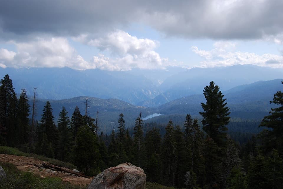 ModeratePark Ridge Trail to Park Ridge Fire Lookout5.2 mi · 3.5 hr · 3.7 mi awayWalk the ridge to a historic fire lookout and wide Sierra views.EasyPanoramic Point Trail0.5 mi · 24 min · 3.7 mi awayA paved half-mile loop over Hume Lake and the High Sierra.
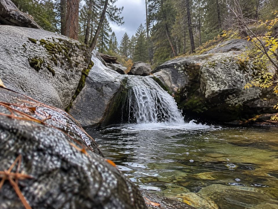 ModerateSunset Trail and Ella Falls Loop6.3 mi · 4 hr · 4 mi awayA granite cascade and a screened lake view reward this forest loop.
 Sight · 0.1 mi awayKings Canyon OverlookA quick roadside view of wooded ridges and distant peaks.
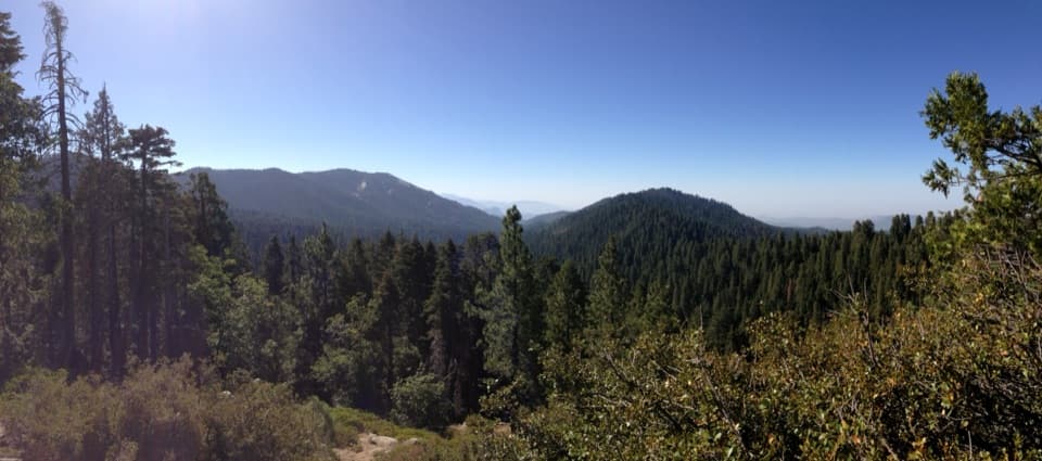 Sight · 1.2 mi awayRedwood Mountain OverlookA quick canopy view into one of the world's largest sequoia groves
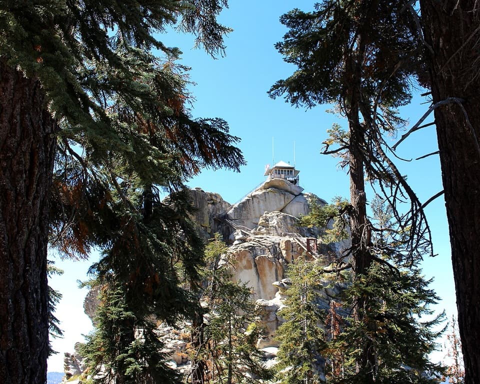 Sight · 2.4 mi awayBuck Rock LookoutA working fire lookout and 172 exposed steps above the Sierra.
 Campground · 2.5 mi awayTen Mile CampgroundA small creekside campground under sequoias and Jeffrey pines.
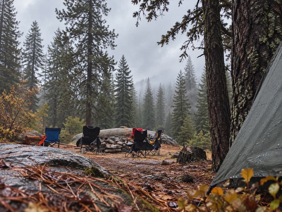 Campground · 2.6 mi awayBuck Rock CampgroundCamp high above Grant Grove, near trails and Big Meadow Creek.
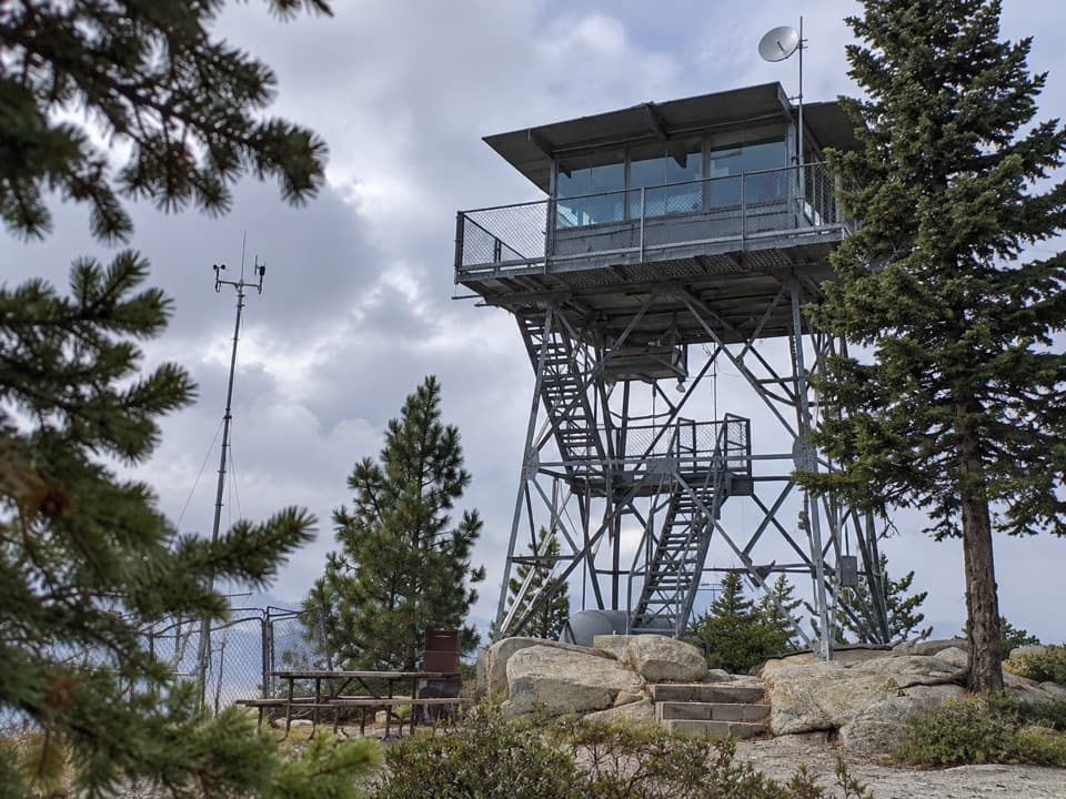 Sight · 2.6 mi awayPark Ridge LookoutA working fire lookout with roots reaching back to 1916.
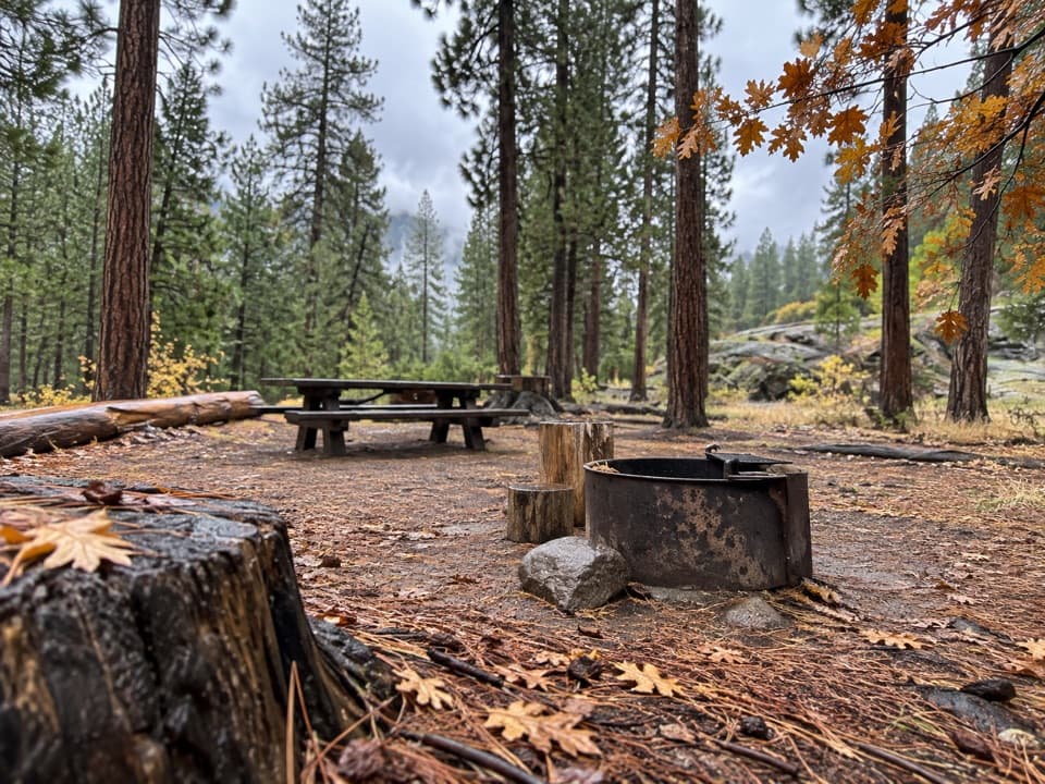 Campground · 3.3 mi awayLandslide CampgroundA small creekside base near two giant sequoia groves.
 Sight · 3.6 mi awayPanoramic Point OverlookHume Lake and the High Sierra share one sweeping overlook.
Parkwolf’s Kings Canyon ranking
The audio tour guide for the drive, plus offline maps, trails, and wildlife heatmaps for when the signal drops.