
Place · 1.4 mi away
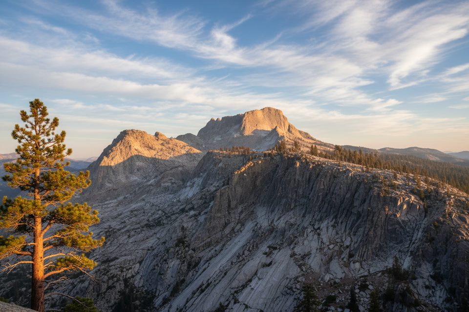
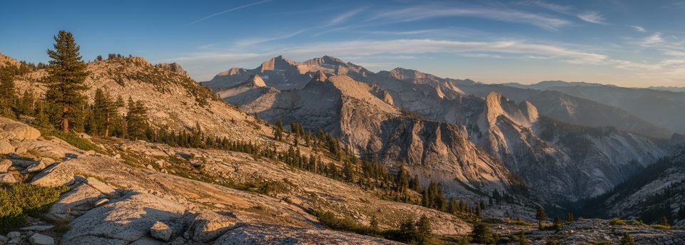
A prominent 11,000+ ft summit on the Sequoia–Kings Canyon boundary, Mount Silliman delivers wide-open views deep into the High Sierra. It’s a Class 2 outing: mostly hiking with easy scrambling, but don’t underestimate it—route-finding and stamina matter here.
Most parties start from the Lodgepole area on the Twin Lakes Trail, then leave the maintained path before the Silliman Creek crossing near Silliman/Cahoon meadows. From there, a well-traveled, cairned use-trail on the south side of Silliman Creek helps you avoid the worst brush. The line leads through a granite amphitheater of hanging valleys and small lakes to broad south slopes, finishing on sandy sections and polished slabs to the summit.
Expect classic High Sierra scenery: black-streaked granite walls, glacially polished slabs, and a staircase of sparkling alpine tarns. The summit plateau hosts hardy foxtail pines and opens to sweeping panoramas across both parks and the Great Western Divide.
Best in summer after snowmelt, though snow patches can linger near the top. In shoulder seasons, slabs can be slick with ice; traction and caution help. Winter ascents are a different beast—think snowshoes, crampons, or skis and the skills to use them—conditions can range from firm to slushy, with hazards like glide cracks.
This is typically done as a strenuous day hike. No wilderness permit is needed for day use. Overnight trips require a wilderness permit. Water is usually available from Silliman Creek and high tarns—always treat it. Note: Silliman Creek supplies Lodgepole’s water; keep waste far from the creek. If you stage via Twin Lakes, expect a pit toilet and bear lockers but no fires.
You’re in bear country—manage food and stay alert for sign. Above treeline, weather shifts fast; start early, carry layers, and navigate with a map or GPS rather than relying solely on cairns.
The peak honors Benjamin Silliman, a Yale chemist tied to early Sierra explorers. Given the ancient foxtail pines on its summit, some argue a more fitting name would celebrate those trees.
Summer is prime once the upper snowfields shrink. Start before dawn for cooler temps and to give yourself plenty of daylight for the long, mostly off-trail return.
Place · 1.4 mi away
Place · 3.3 mi away
Place · 6.9 mi away
Place · 7.3 mi away
Moderate · 6.7 mi away
Challenging · 6.7 mi away
Challenging · 6.7 mi away

Moderate · 7.1 mi away

Parkwolf Tour Guide
