
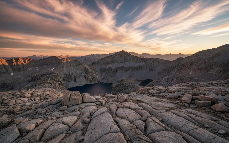
Place · 2.6 mi away
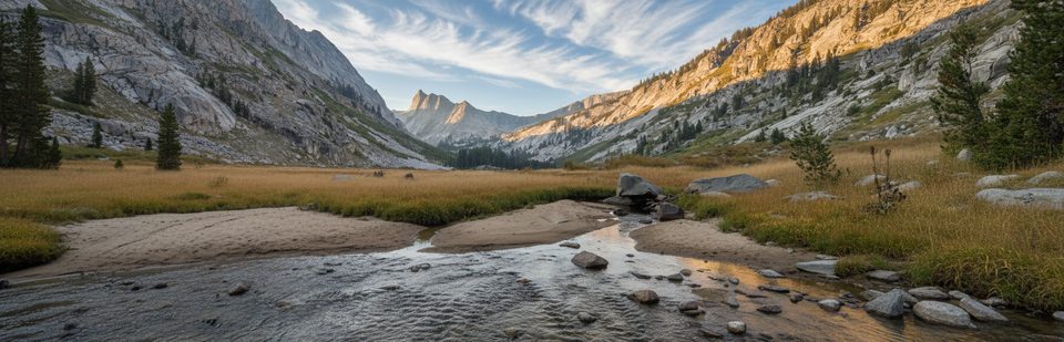
Elizabeth Pass is a high, wild notch on the Great Western Divide linking the Bearpaw/Hamilton Creek side to Deadman Canyon and the Roaring River country. Expect big granite, big views, and a true backcountry feel well above treeline.
Most backpackers stage at Bearpaw after approaching via the High Sierra Trail from Crescent Meadow. From Bearpaw, the climb to the pass is steep, sunny, and at times faint—watch for lines of stones across slabs and cairns guiding you to the small sign at the top. The north side into Deadman Canyon starts rocky and can be confusing just below the pass before the tread consolidates lower in the canyon.
Water is typically available along the approach (creeks like Mehrten, Nine Mile, and Buck on the HST), near the Lonely Lake outlet close to the pass, and perennially in Deadman Canyon and at Roaring River. Common camps cluster around Bearpaw, the Tamarack Lake junction area, meadows in Deadman Canyon, and near Roaring River Ranger Station (heed any closures or signage).
Late summer into early fall is the sweet spot. Lower switchbacks can bake in the sun, while afternoon build-ups can sock in the pass and deliver rain or hail—start early and be ready to turn around if the weather shifts. Holiday weekends see packed parking at popular trailheads like Wolverton and Crescent Meadow; plan accordingly.
You’ll likely see mule deer, and bears are active throughout this corridor—use proper food storage. At twilight, watch for bats feeding over nearby lakes and tarns. Navigation gets intermittent above treeline; cairns are your friends, and a good digital map paired with paper topo makes the slabby sections far less stressful.
Backpacking permits are required. Food storage rules are strict—bring and use a bear canister. Backcountry facilities are sparse; Bearpaw offers a backcountry camp area and a seasonal High Sierra Camp with tent cabins (summer). If you’re starting from the Kings Canyon side, Road’s End has the last developed restroom before you hit wilderness.
Place · 2.6 mi away
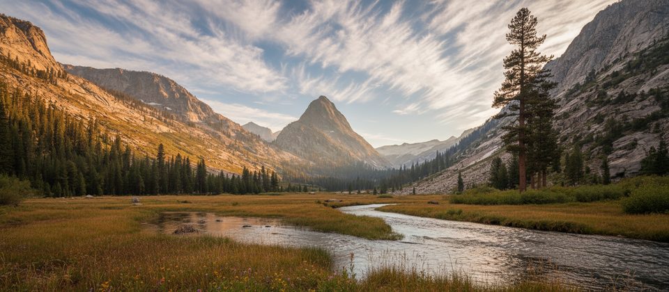
Place · 3.3 mi away
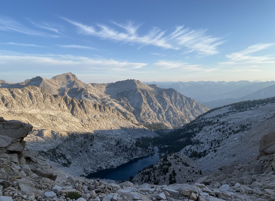
Place · 4.4 mi away
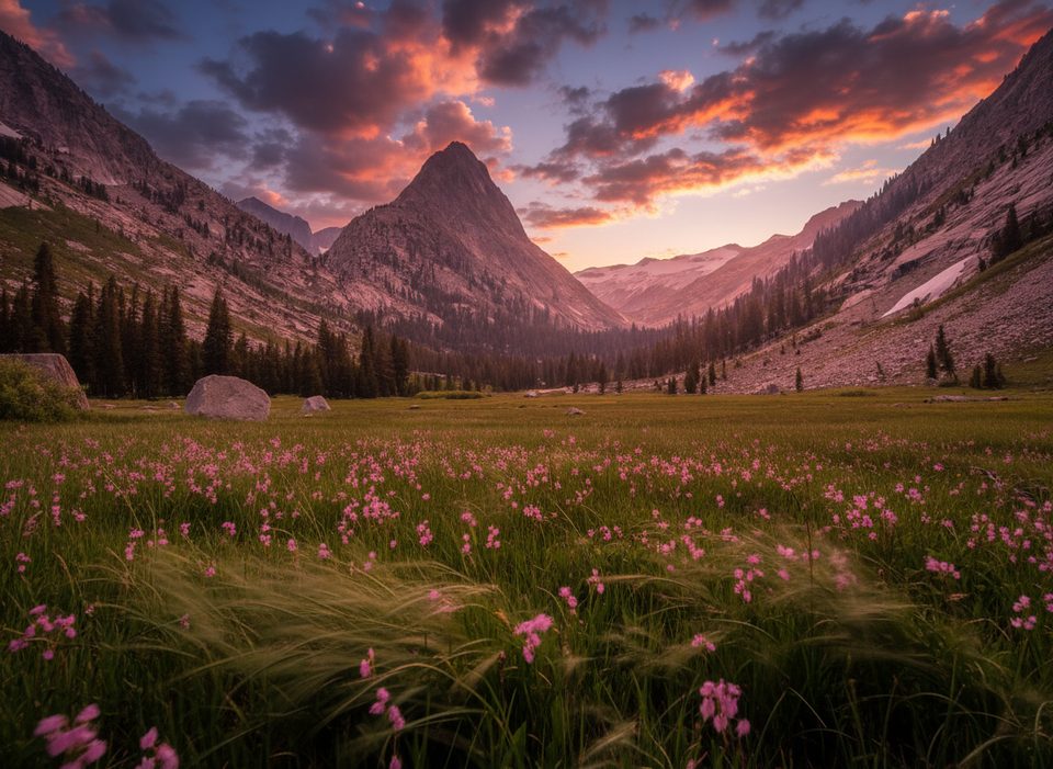
Place · 6 mi away
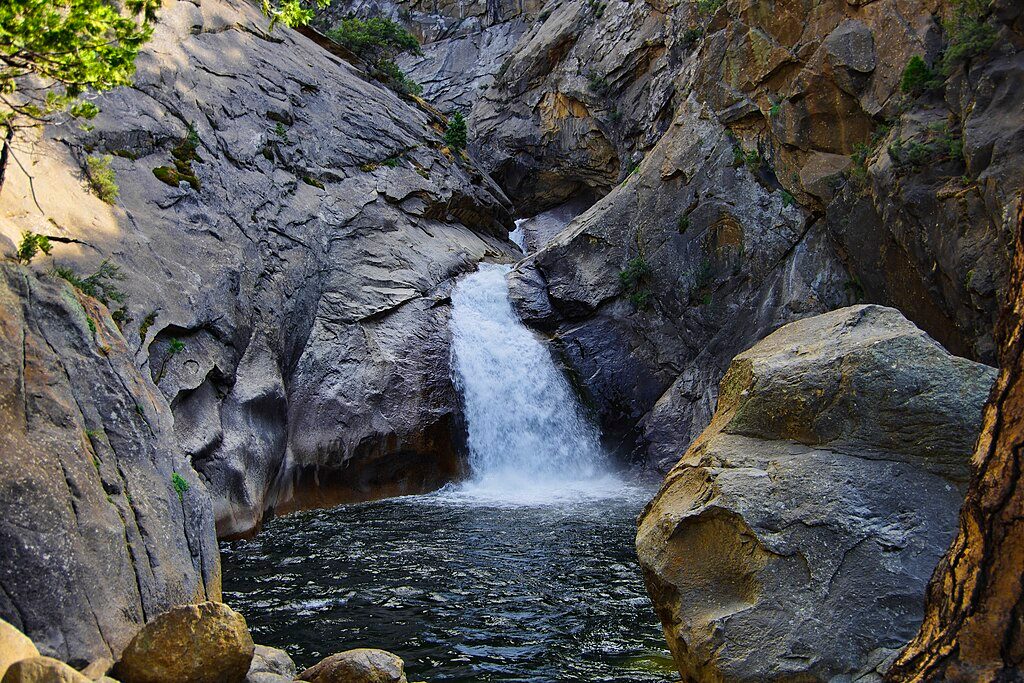
Easy · 12.9 mi away

Moderate · 13.3 mi away
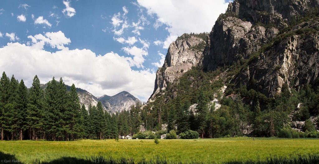
Easy · 13.5 mi away
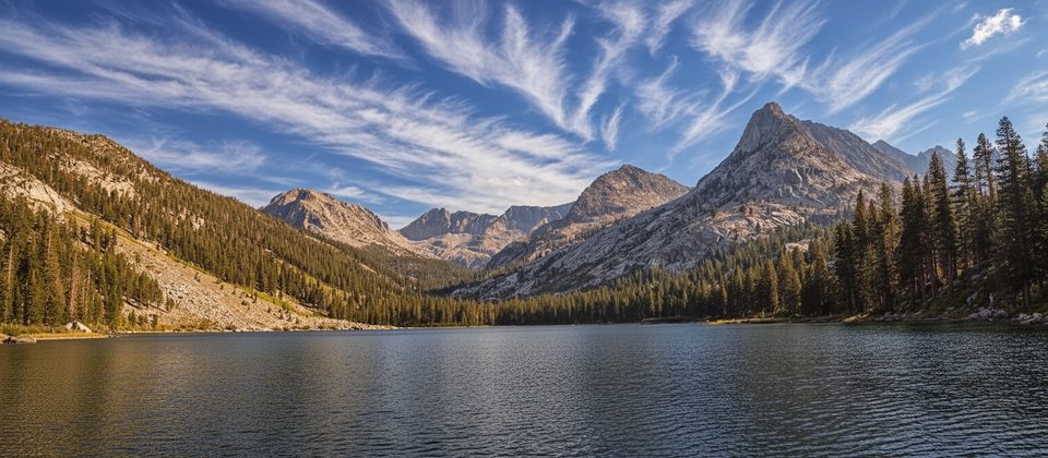
Challenging · 13.5 mi away

Parkwolf Tour Guide
