Place · 4.4 mi away
Challenging

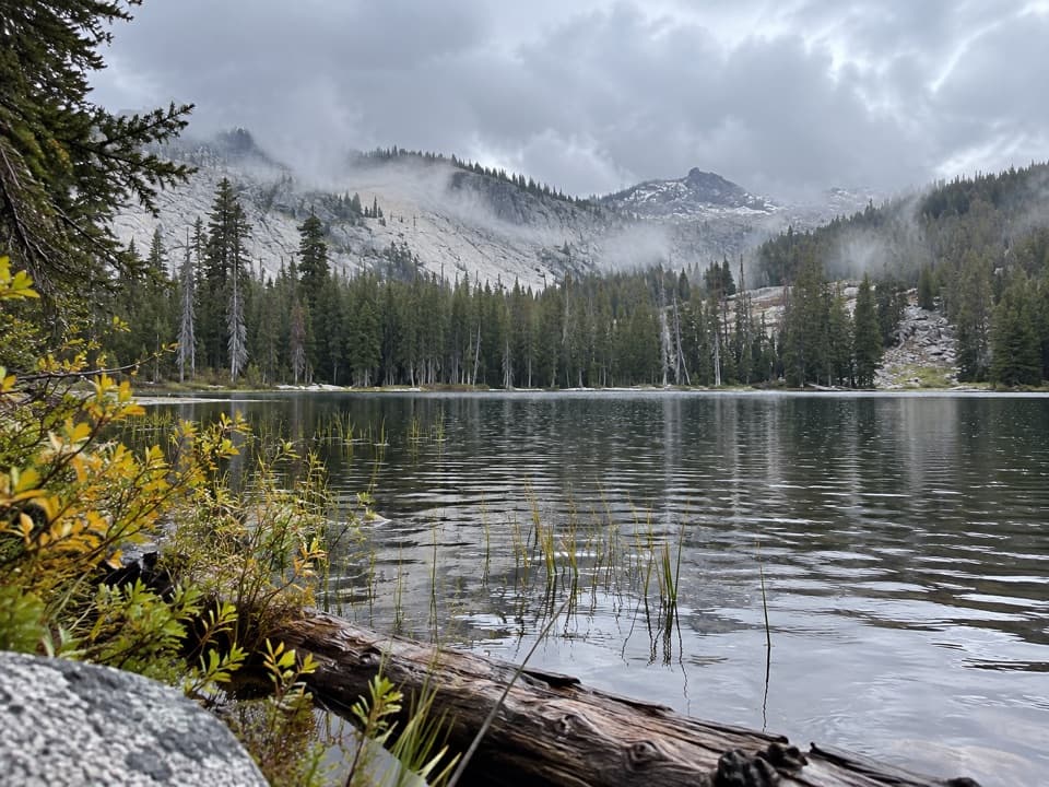
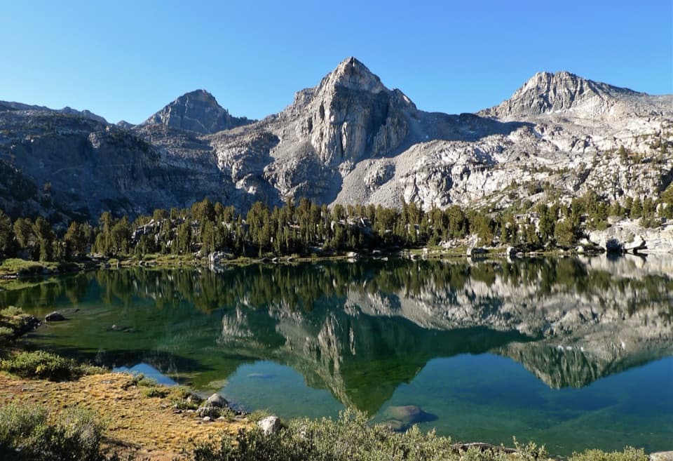
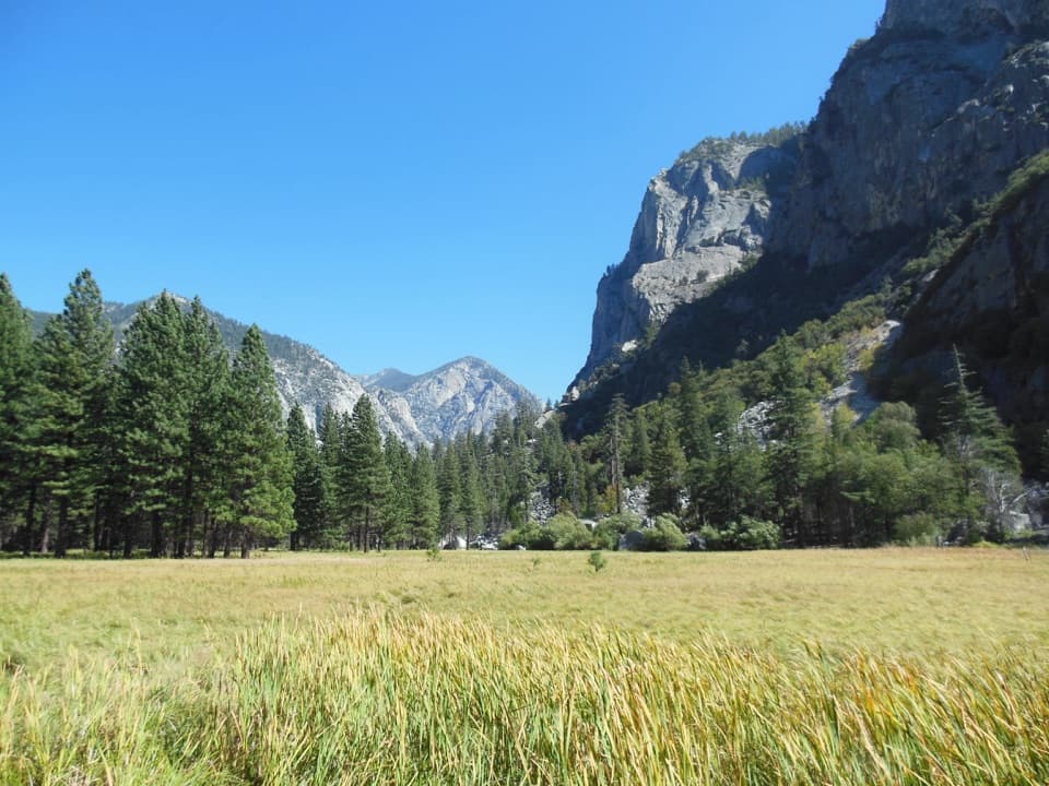
Sugarloaf Valley Trail is a remote, lightly traveled backcountry route in Kings Canyon that rewards effort with big Sierra views, lush meadows, and real solitude. Expect classic granite country shaped by glaciers—broad valleys, polished slabs, and creek-cut meadows.
A common outing is an out-and-back to Sugarloaf Meadow at roughly 16.8 miles total with about 3,126 feet of elevation gain (strenuous). Reported stats for the broader trail corridor vary, with a mapped one-way segment around 12.5 miles and ~2,100 feet of gain. However you slice it, this is a full-day effort for strong hikers or a rewarding overnight.
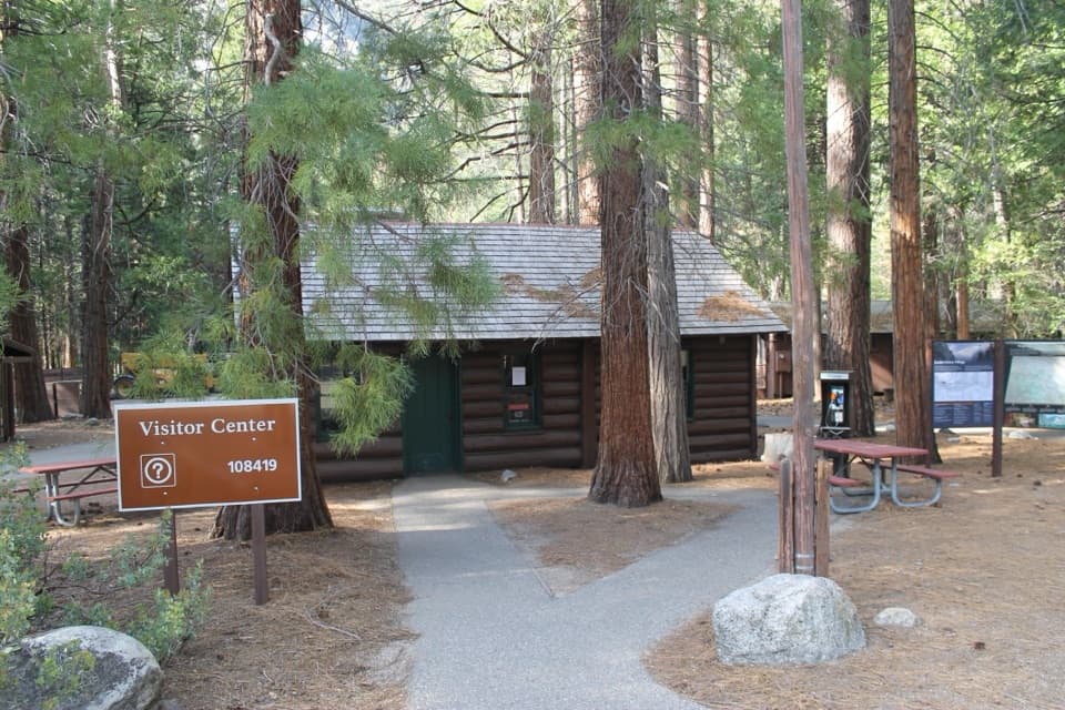
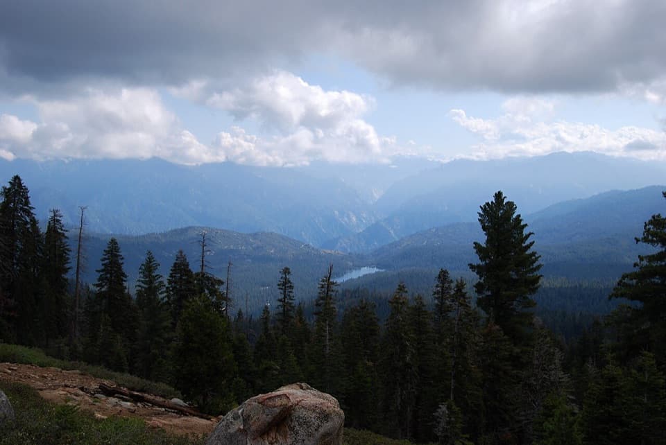
Most hikers start at the Marvin Pass Trailhead, climbing early to gain views of the Eastern Sierra before descending toward Bell Canyon and on to Sugarloaf’s meadows. Signage can be spotty in places; carry an offline map plus a compass and know how to use them. Near Sugarloaf Meadow, you’ll find a bear box and a designated horse site, but don’t plan your whole food strategy around a single box being available.
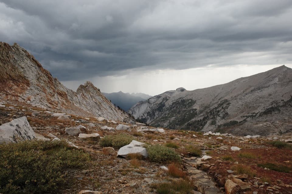
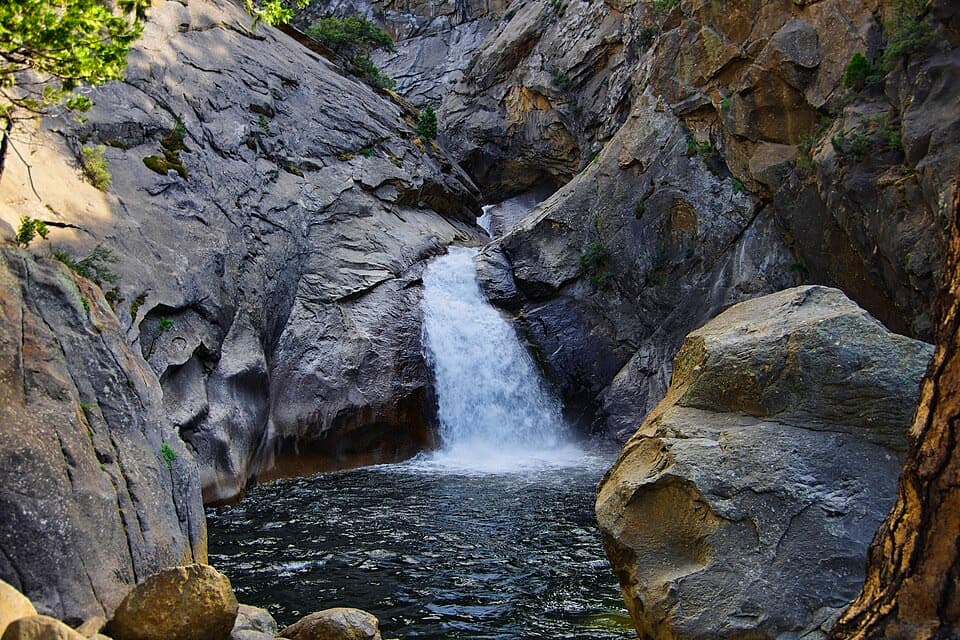
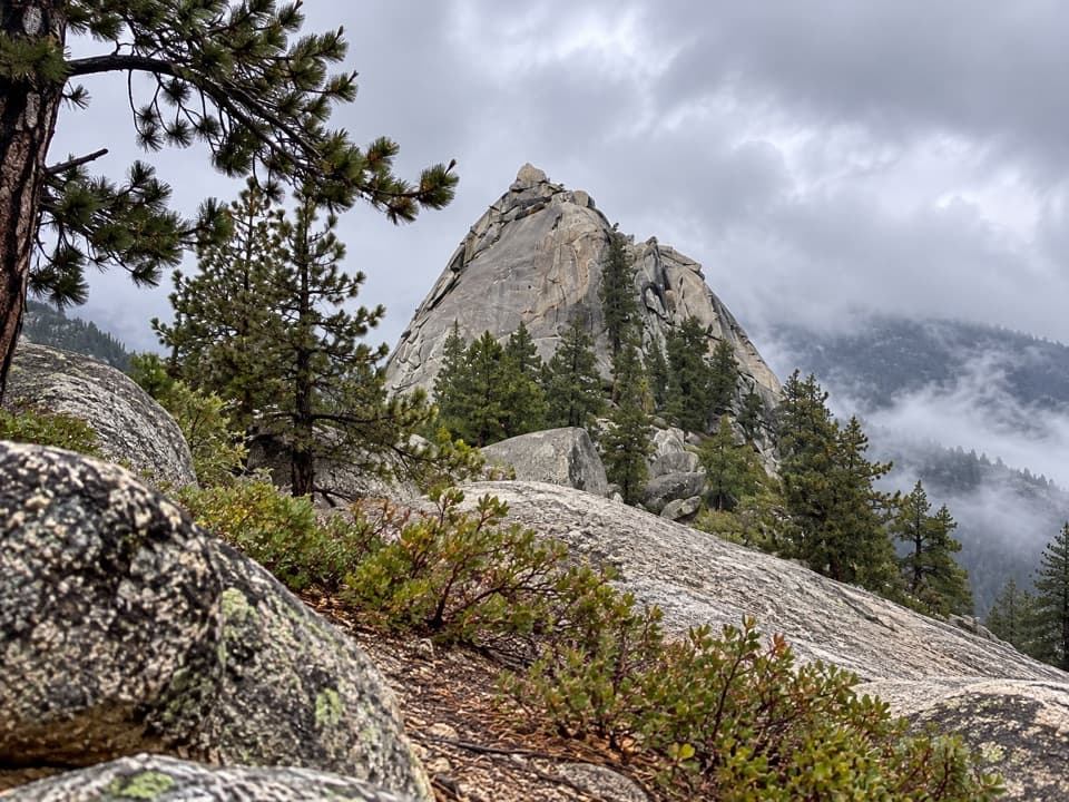
The terrain is quintessential Sierra Nevada: granitic bedrock born deep underground and revealed by uplift, then sculpted by multiple glacial advances into deep valleys and craggy ridges. Keep an eye out for glacially smoothed domes and erratics as you move between forest and meadow.
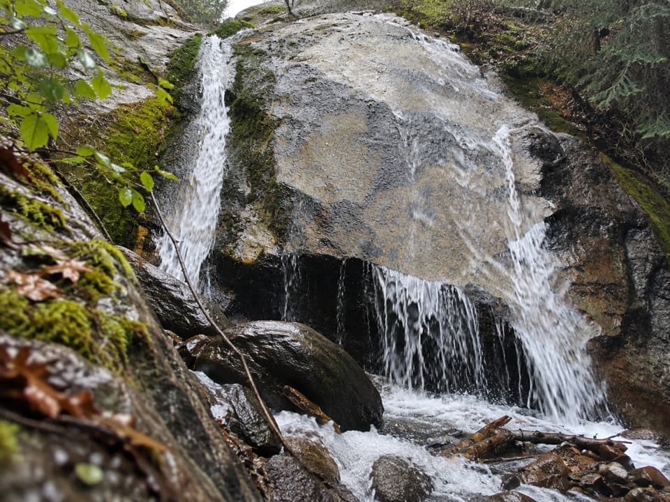
Summer into early fall is the sweet spot. Early summer can still hold snow patches in higher, shaded sections and bring strong creek flows; it’s also peak mosquito season in wet years. Start early for cooler temps and better light across the meadows. Weekdays see very few people—this area is remote even on weekends.
Black bears are common—secure every scented item and give wildlife space. Mosquitoes can be ferocious early season; bring repellent, a head net, and long sleeves if you’re sensitive.
No permit is needed for a day hike. Overnight trips require a wilderness permit during quota season. Practice strict minimum-impact camping: store food properly, camp and wash well away from water, and follow current fire restrictions for the area and elevation.
If you want a quieter alternative to the park’s marquee corridors, this is a gem. It’s demanding but scenic, with a strong feeling of wilderness. If you prefer well-signed trails and steady company, consider more traveled routes in the Rae Lakes/Paradise Valley region instead.
Park at Marvin Pass Trailhead; this is a remote access point for the route.
Remote backcountry with sporadic signage; carry map and compass or reliable offline GPS. Bears are common—use proper food storage. Early season brings high water and heavy mosquitoes.