Parking
Start at Rowell Meadow Trailhead off Forest Road 13S14. Parking capacity and trailhead facilities are not confirmed.
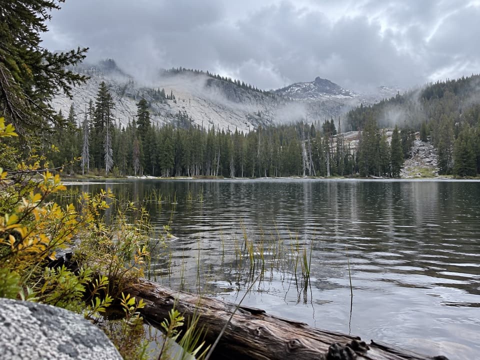
Kings Canyon National Park, CA
A long forest approach ends at a lake beneath granite ridges.
Overview
Map & elevation
Plan your hike

The highest, rockiest slopes around here are a summer buffet for grizzly bears.
Kings Canyon Tour Guide
Parkwolf is a GPS audio tour guide for Kings Canyon National Park. As you drive, it chimes in with what’s ahead: hidden gems, upcoming stops, history, geology, and wildlife, right through your car’s speakers.
See the Kings Canyon audio tourMore stories near here in the app
“…The kids and my husband and I all agree that the narration really added to our experience driving through the parks. We learned so much about the history and the flora & fauna.”


Trail guide
Seville Lake Trail is a 13.2-mile out-and-back from Rowell Meadow Trailhead to Seville Lake in Kings Canyon's backcountry. It is a full-day hike: allow about 7 to 8 hours, with a published GPS estimate of roughly 2,300 feet of climbing. The route climbs above 9,000 feet before dropping toward the lake basin, so the return includes a long climb back over high ground. Choose it for a proper wilderness day, not a quick lake stop.
From Rowell Meadow, take the Sugarloaf Entrance Trail on a gradual woodland climb. It crosses Rowell Creek before reaching a junction where you turn onto the Belle Canyon Entrance Trail. That leg passes through meadow and conifer forest, then descends into Belle Canyon. At the next junction, follow the Seville Lake Trail through the basin to the shore. Route signage is only average, so keep track of those turns. Return the same way.
A 1.6-mile figure describes only the named Seville Lakes segment between a Rowell Meadow Trail junction and the park boundary. It does not cover the full Rowell Meadow-to-lake outing described here.
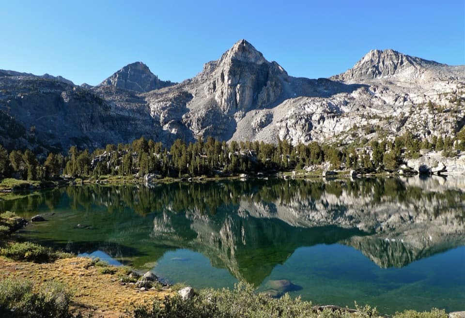
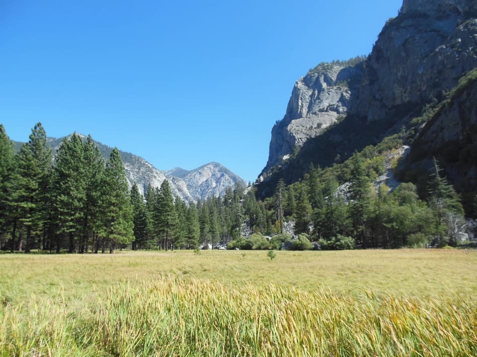
Seville Lake sits beneath Kettle Peak, with rocky ridges framing the basin. The approach moves through mixed conifer woodland, open meadows and granite gardens; wildflowers are noted along the way. From the shore, look across the water toward Kettle Peak and leave a little shoreline in the frame to show the lake's setting.
Start at Rowell Meadow Trailhead, off Forest Road 13S14 in the Jennie Lakes Wilderness. The route continues into Kings Canyon National Park. If you camp overnight in the park, get the park wilderness permit for the Belle Canyon or Sugarloaf entry. Pets are allowed on trails in the surrounding national forest, but are prohibited on park trails; only service animals may continue with their handlers into the park.
Wildlife
 227 sightingsBlack BearMost seen around 7 PMSighting map
 385 sightingsMule DeerMost seen around 7 PMSighting map
 188 sightingsMarmotMost seen around 8 AMSighting map
 118 sightingsPikaMost seen around 7 AMSighting map
 14 sightingsGolden TroutMost seen around 7 PMSighting map
 32 sightingsRainbow TroutMost seen around 7 PMSighting map
Sighting maps show where each species has been reported across Kings Canyon. Wildlife moves, so no sighting is guaranteed.
Keep exploring
 ChallengingLost Lake Trail15.6 mi · 10 hr · 0.1 mi awayA full-day climb to a high Sierra lake.
 ChallengingRanger Lake Trail18.2 mi · 12 hr · 0.1 mi awayA long high Sierra route to an alpine lake beneath granite walls.
 ChallengingMitchell Peak Trail6 mi · 5 hr · 2 mi awayA boulder scramble opens wide views across the high Sierra.
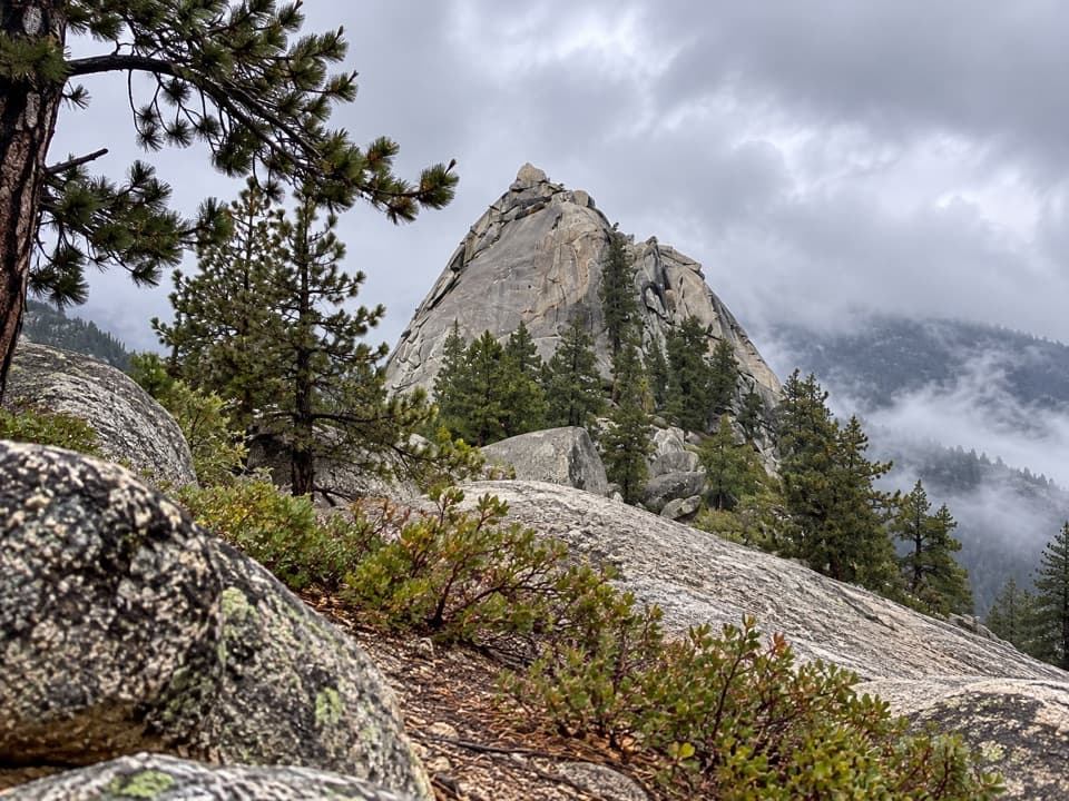 ModerateSugarloaf Valley Trail7.5 mi · 5 hr · 4.3 mi awayFollow Sugarloaf Creek through a remote granite valley.
 ChallengingKanawyer Trail (Monarch Wilderness)11.1 mi · 8 hr · 4.8 mi awayA remote drop through three giant sequoia groves.
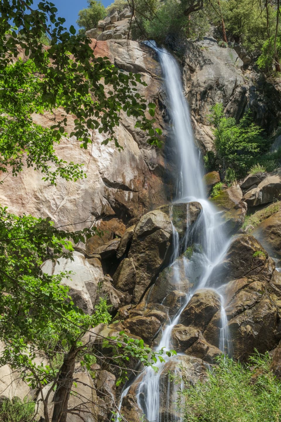 EasyGrizzly Falls Trail0.1 mi · 20 min · 5.7 mi awayAn 80-foot waterfall rewards a short walk from the picnic area.
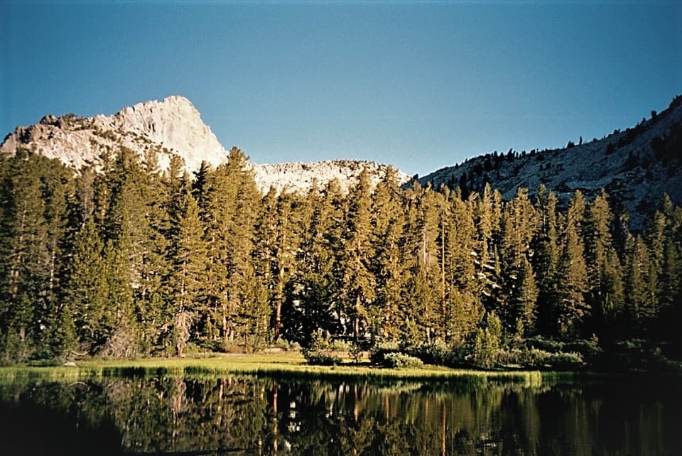 ChallengingGrizzly Lakes via Deer Cove Trail17.5 mi · 12 hr · 6.3 mi awayA steep, all-day climb to lakes beneath Mount Harrington.
 ModerateBig Baldy Ridge Trail4.4 mi · 2.5 hr · 6.5 mi awayClimb a forested ridge to granite views over Redwood Canyon.
 Campground · 3.2 mi awayBig Meadow CampgroundHigh-country camping by a meadow creek; bring drinking water.
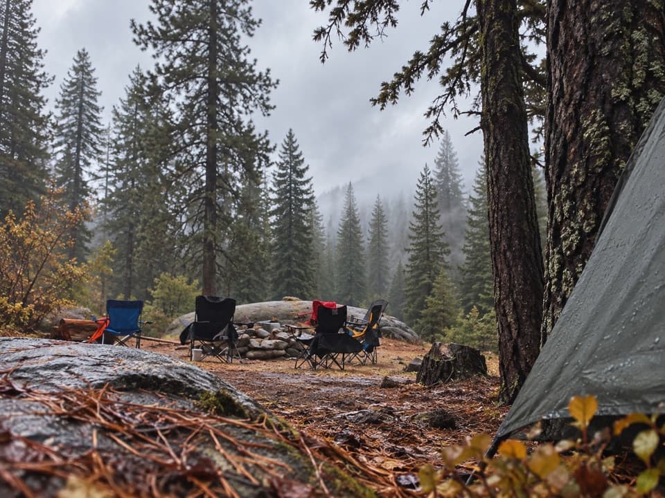 Campground · 4.7 mi awayBuck Rock CampgroundCamp high above Grant Grove, near trails and Big Meadow Creek.
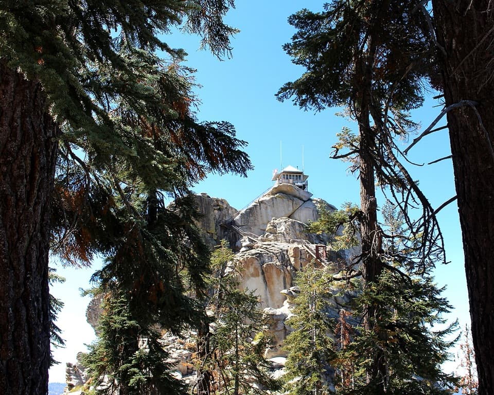 Sight · 5.3 mi awayBuck Rock LookoutA working fire lookout and 172 exposed steps above the Sierra.
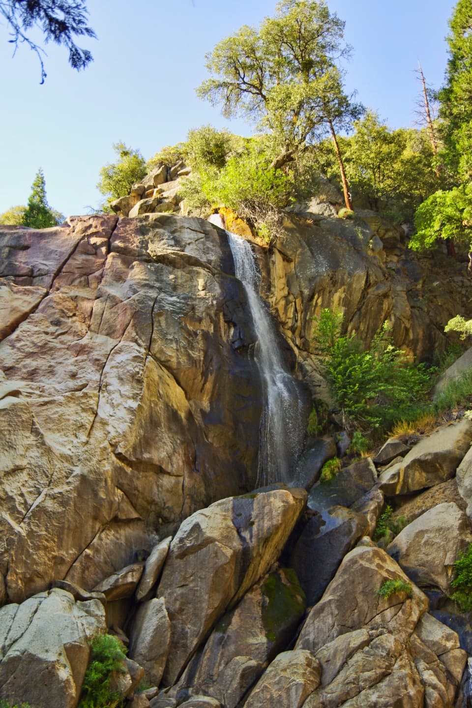 Sight · 5.7 mi awayGrizzly FallsA quick stop where spring snowmelt gives the waterfall some force.
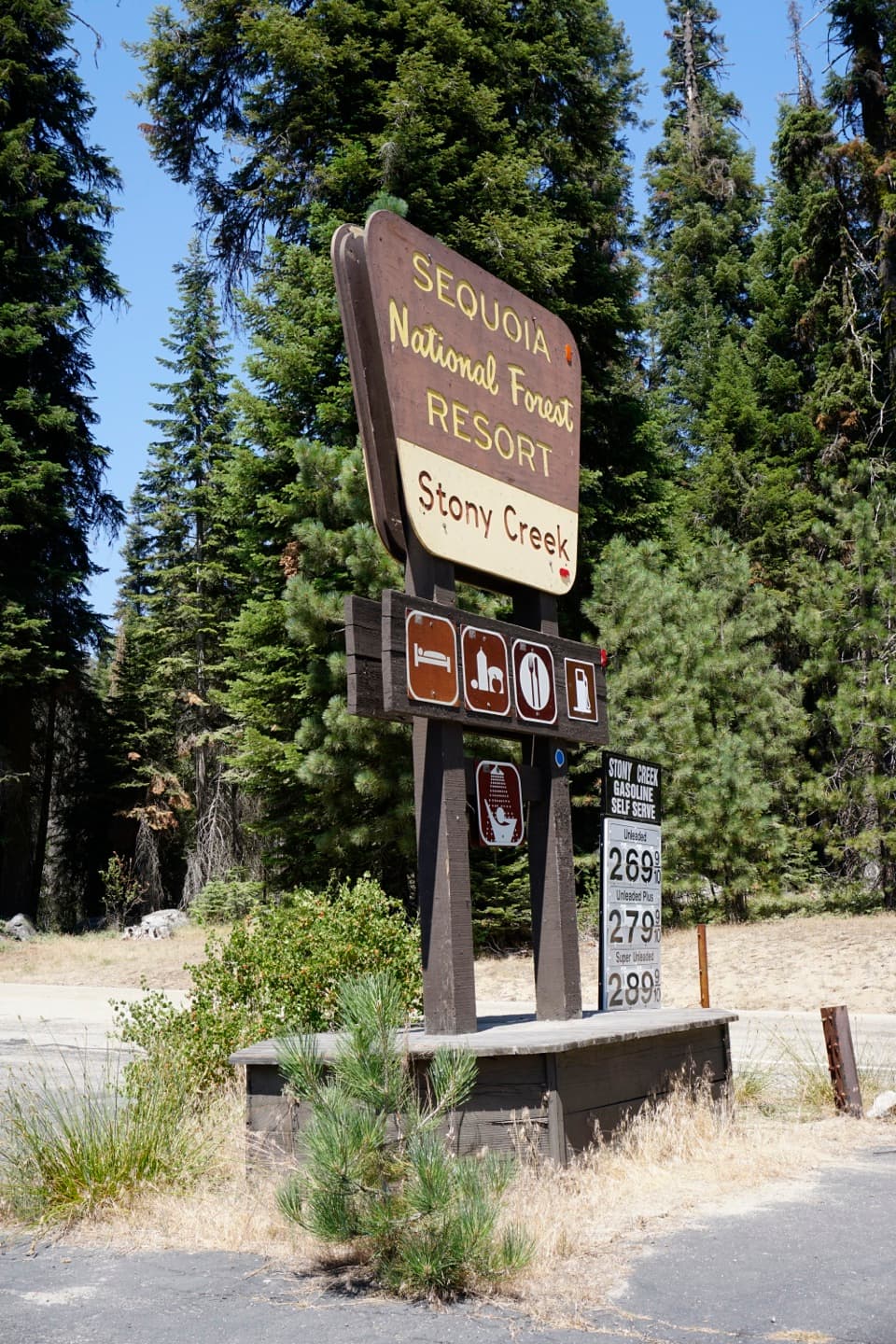 Lodging · 5.8 mi awayStony Creek Lodge and VillageA seasonal lodging, pizza and fuel stop along the Generals Highway.
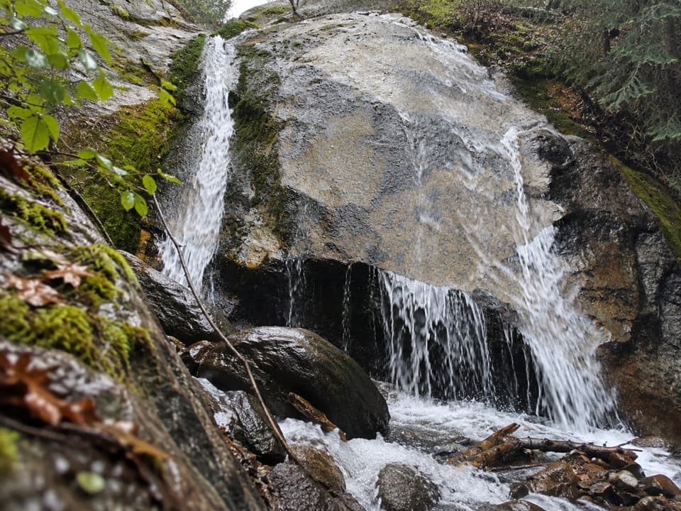 Sight · 5.9 mi awaySheep Creek CascadeA shady waterfall hike with Monarch Divide views.
 Campground · 6.8 mi awaySheep Creek CampgroundA shady riverside base in the heart of Cedar Grove.
 Campground · 7 mi awaySentinel CampgroundSleep near the Kings River, with Cedar Grove trails close by.
Parkwolf’s Kings Canyon ranking

The audio tour guide for the drive, plus offline maps, trails, and wildlife heatmaps for when the signal drops.