Mitchell Peak Trail in Kings Canyon National Park

Kings Canyon National Park, CA

Mitchell Peak Trail

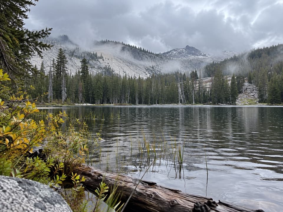
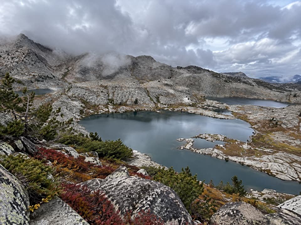
A boulder scramble opens wide views across the high Sierra.

Length
6mi
Time
5hr
Elev. change
1,896ft
Difficulty
Challenging
  • No dogs
  • High point 10,302 ft
  • #27 of 77 in Kings Canyon
Parkwolf audio tour55 stories across Kings Canyon’s roads

Overview

About Mitchell Peak Trail

Why go

  • A broad Sierra panorama from Jennie Lakes Wilderness’s 10,365-foot high point

Heads up

  • About 2,000 feet of climbing at high elevation
  • Final off-tread boulder scramble and rough trailhead road

Map & elevation

The route

Loading the Kings Canyon map
Full map
Elevation8,406–10,302 ft
TrailheadMarvin Pass Trailhead36.74087, -118.73806
Keep this map with you offline in the Parkwolf app

Plan your hike

Before you go

Parking

Marvin Pass Trailhead via Forest Road 13S12. The Forest Service says 13S12 is washed out and very rough and advises against low-clearance vehicles. Big Meadows Road may close to vehicles in winter or early spring because of snow, while pedestrian access may continue beyond the gate.

Safety

The sustained climb begins above 8,400 feet and the final summit is an off-tread boulder scramble. Snow can hide the route. There is no potable water at Marvin Pass. The Forest Service directs visitors entering Kings Canyon from Jennie Lakes Wilderness to obtain a National Park Service backcountry permit. Pets are prohibited on national park trails.

8 active Kings Canyon alerts

  • CautionStage 1 fire restrictionsStage 1 fire restrictions are active because high fire danger raises the risk of accidental human-caused fires that could threaten visitors and employees.Official details
  • ClosureGrant Grove trails and areas closed for prescribed fireSome trails and areas around Grant Grove and the General Grant Tree are closed during an active prescribed burn; stay out until crews clear hazards and reopen them.Official details
See all 8 alerts
A park ranger sits on a dash-mounted phone, talking, as Parkwolf’s Tour Guide plays “Army Cutworm Moths: A Grizzly Bear Buffet” on Grand Loop Road below Dunraven Pass in Yellowstone
Parkwolf Tour GuideThe highest, rockiest slopes around here are a summer buffet for grizzly bears.

Kings Canyon Tour Guide

Your drive to Mitchell Peak Trail, narrated.

Parkwolf is a GPS audio tour guide for Kings Canyon National Park. As you drive, it chimes in with what’s ahead: hidden gems, upcoming stops, history, geology, and wildlife, right through your car’s speakers.

See the Kings Canyon audio tour

More stories near here in the app

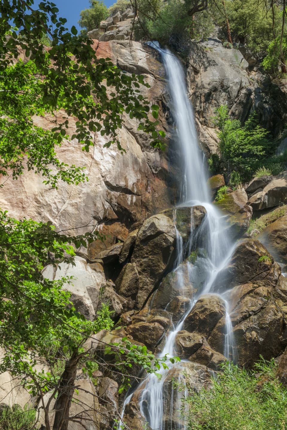
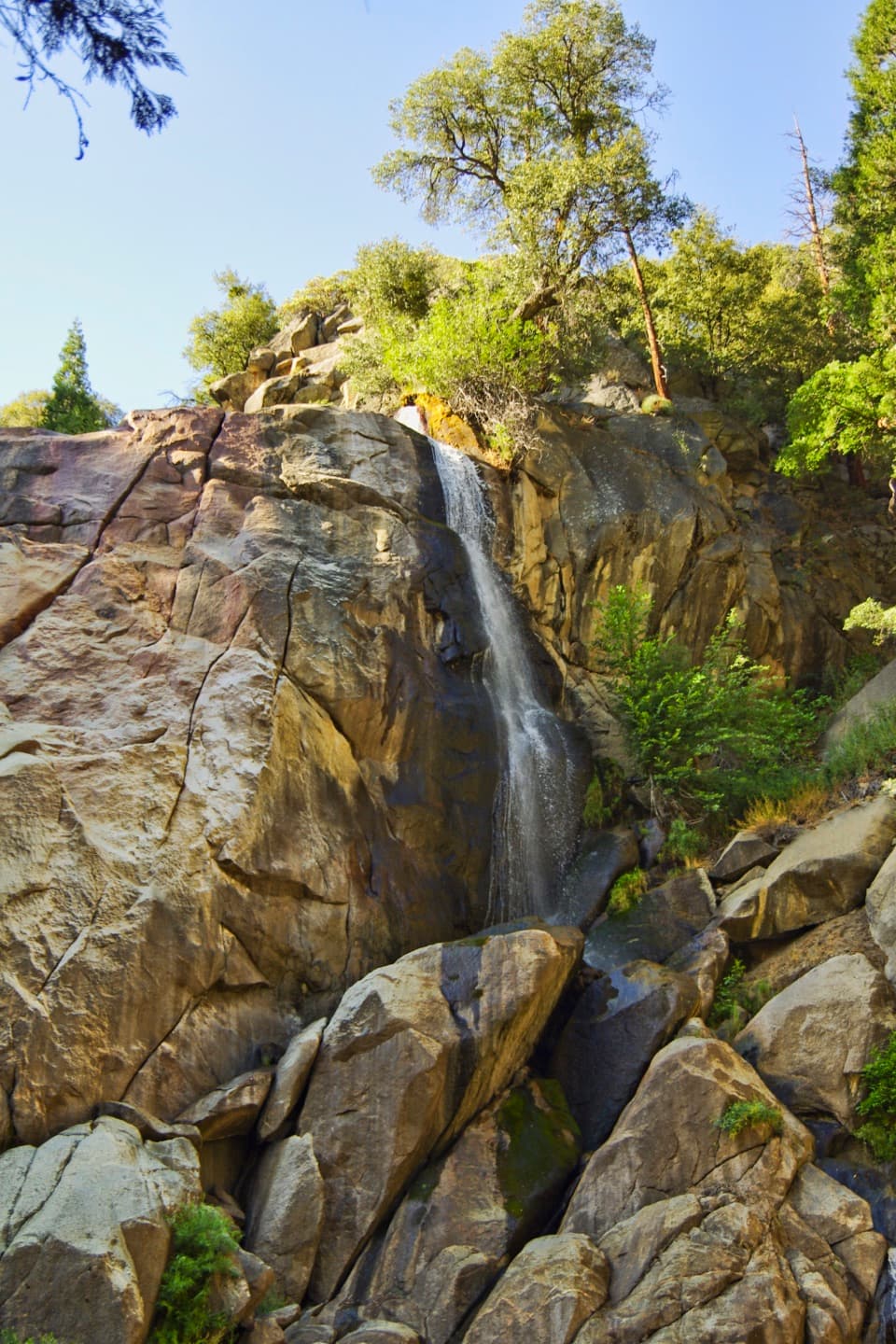
  • Grizzly Falls
  • Deer Cove Trailhead and Grizzly Lakes
  • Lewis Creek Trailhead and Kennedy Pass
  • A Black Bear Can Be Blond
  • 55 audio storiesacross Kings Canyon’s roads, triggered by GPS as you drive
  • Wildlife heatmapsfor Black Bear, Mule Deer, Marmot, and 13 more
  • Works offlinemaps, 77 trails, 61 places, and audio download before you lose signal
  • CarPlay readysimple controls built for the drive
★★★★★
“…The kids and my husband and I all agree that the narration really added to our experience driving through the parks. We learned so much about the history and the flora & fauna.”
JessestblondeApp Store review
Download Parkwolf on the App StoreGet Parkwolf on Google Play

4.7 from 8,600+ ratings

Trail guide

Hiking Mitchell Peak Trail

A hard summit hikeMitchell Peak Trail is a roughly 6-mile out-and-back from Marvin Pass Trailhead to 10,365-foot…

Mitchell Peak Trail is a roughly 6-mile out-and-back from Marvin Pass Trailhead to 10,365-foot Mitchell Peak, the highest point in Jennie Lakes Wilderness at the edge of Kings Canyon National Park. The route climbs about 2,000 feet from an 8,405-foot start, mostly through forest, then leaves the mapped path for a short boulder scramble to broad Sierra views. Allow about five hours. The high start, sustained uphill and uneven summit rocks make this a hard day hike. The mapped trail ends just below the top, so expect an off-tread finish.

Keep straight at the first junctionThe first stretch rises gently through semi-wooded terrain. At the signed junction about 0.

The first stretch rises gently through semi-wooded terrain. At the signed junction about 0.2 mile in, keep straight toward Marvin Pass and Mitchell Peak; the left branch goes to nearby Sequoia High Sierra Camp. Beyond it, the climb settles into a steady uphill with switchbacks through forest. Hikers report few open views before the summit, so plan for the panorama as the main reward.

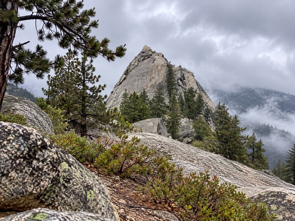
The summit scrambleLarge boulders break up the last short stretch, with no single obvious line across the summit…

Large boulders break up the last short stretch, with no single obvious line across the summit rocks. This is the hike's most awkward footing; turn back if the scramble feels beyond your comfort. From the top, look for a wide, 360-degree Sierra panorama. For a photo, leave some granite blocks at the bottom of the frame; they give the ridgeline and forest below a sense of scale.

Reaching Marvin PassMarvin Pass Trailhead is reached via Forest Road 13S12.

Marvin Pass Trailhead is reached via Forest Road 13S12. The Forest Service describes the road as washed out and very rough and advises against low-clearance vehicles. Big Meadows Road may close to vehicles in winter or early spring; hikers can continue on foot beyond the gate. Check road status and trail conditions before leaving for this remote trailhead.
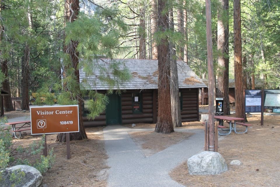
Water, registration and petsPotable water is not available at the trailhead, so carry what you need.

Potable water is not available at the trailhead, so carry what you need. A self-registration station at Marvin Pass asks groups to register. The Forest Service says people entering Kings Canyon National Park through Jennie Lakes Wilderness need a National Park Service backcountry permit; check the current process before going up. Pets are prohibited on national park trails, and the summit lies just inside the park boundary, so this is not a pet-friendly hike.

Wildlife

Wildlife in Kings Canyon

All Kings Canyon wildlife maps

Sighting maps show where each species has been reported across Kings Canyon. Wildlife moves, so no sighting is guaranteed.

Keep exploring

Near Mitchell Peak Trail

See it all on the map

Trails that start nearby

Places near the trailhead

Parkwolf’s Kings Canyon ranking

Top-rated trails in Kings Canyon

All 77 trails
  1. 1Rae Lakes LoopChallenging · 41.4 mi
  2. 2Mist Falls TrailModerate · 8 mi
  3. 3Zumwalt Meadow TrailEasy · 1.5 mi
  4. 4Roaring River Falls TrailEasy · 0.3 mi
  5. 5Panoramic Point TrailEasy · 0.5 mi
  6. 6Big Stump Loop TrailEasy · 1.6 mi

Take Parkwolf to Kings Canyon.

The audio tour guide for the drive, plus offline maps, trails, and wildlife heatmaps for when the signal drops.

4.7 from 8,600+ ratings

Download Parkwolf on the App StoreGet Parkwolf on Google Play