
Place
Challenging
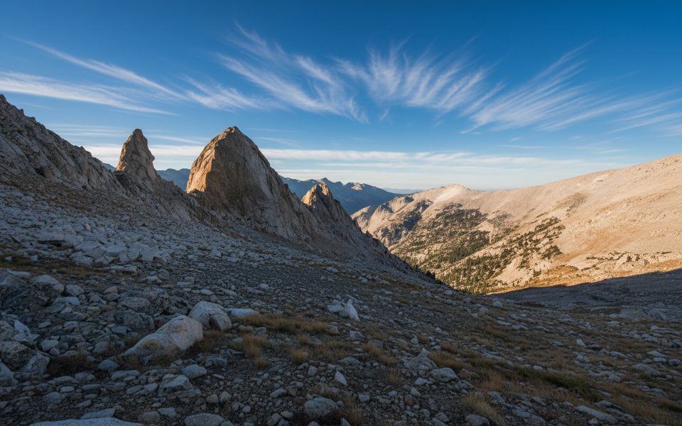
This is a demanding, high-country connector that crests Elizabeth Pass at 11,339 feet, linking Deadman Canyon/Roaring River on the Kings Canyon side to the Tamarack Lake junction near the High Sierra Trail on the Sequoia side. Figure on 14.7 miles one way for the full traverse between Roaring River and the Tamarack Lake junction, with about 10 hours total travel for a strong hiker. It’s rugged, quiet, and rewards the sweat with sweeping views across the Great Western Divide and deep into glacially carved Kings Canyon country.
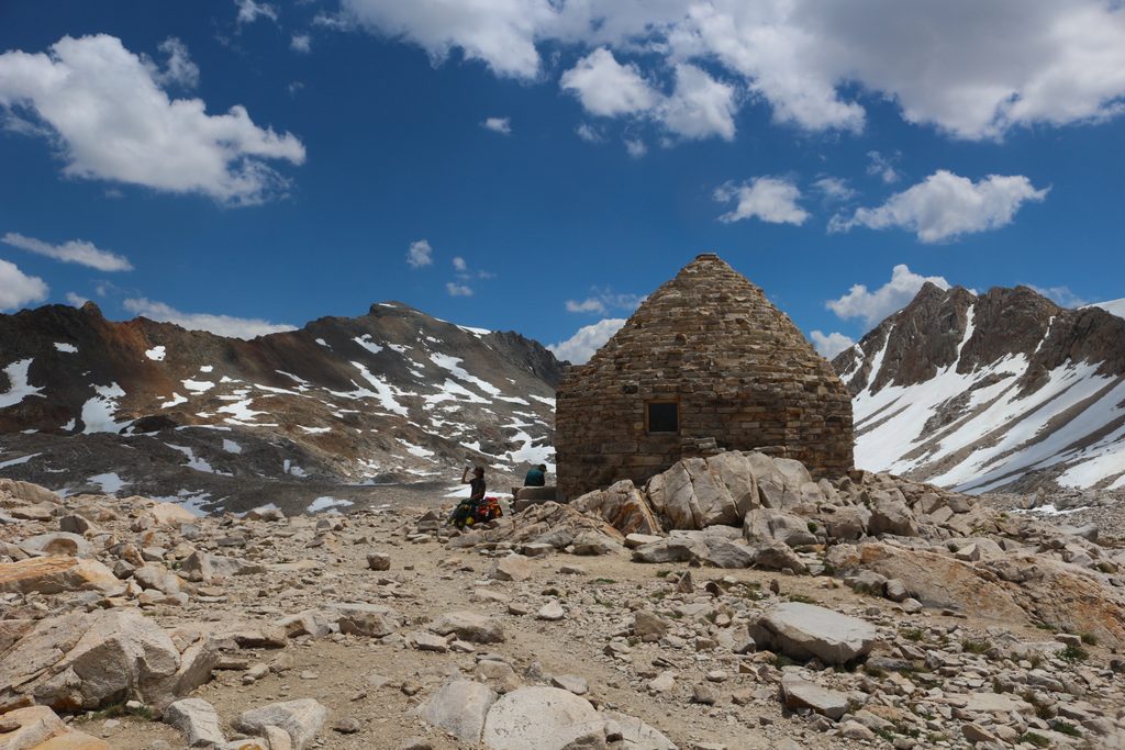
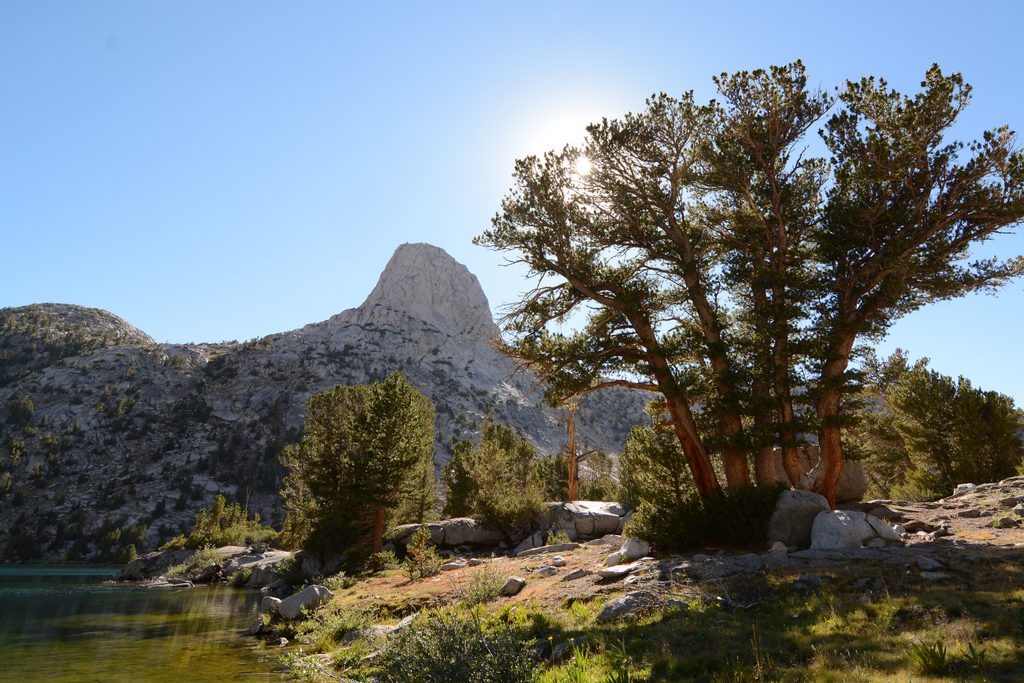
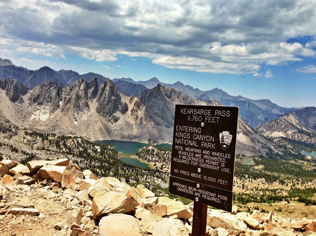
From the north, you climb out of the long, glacial U of Deadman Canyon—its signature green ribbon of creek-fed meadows—up steep granite switchbacks to the pass. From the south, you wind past the Lonely Lake outlet and granite benches above the Tamarack/Bearpaw corridor. The summit panorama reaches in every direction, with classic Sierra granite slabs, benches, and towering divide peaks. Along the way you’ll encounter wildflower bursts late season and, in lower Deadman, a marked grave from 1887—Alfred Momiere—adding a dash of human history to the wilderness.
This is not a groomed highway. Expect faint tread that disappears on granite slabs, intermittent cairns (including some big, old "ducks" on the south side), and slow, rocky going—especially on the north side below the pass. The cumulative elevation is burly either direction, and sections are exposed to sun and heat. Trekking poles shine here, particularly on the loose, slabby north-side descent.
Late summer into early fall tends to be the sweet spot when the pass goes snow-free in many years, though conditions vary. Even then, north-facing slopes can hold lingering snow and ice. Start early to avoid heat on the south approach and to beat potential afternoon build-up over the crest.
You’re traveling classic Sierra Nevada granite—Cretaceous plutonic rock uplifted and sculpted by ice—etched into sweeping slabs and U-shaped valleys. Watch for late-season wildflowers dotting the upper benches, and for wildlife like marmots and deer in meadows. Bears are present; practice diligent food storage.
No direct road access. Park at your chosen entry trailhead for a multi-day approach (e.g., Lodgepole or Crescent Meadow) and hike in to reach the Elizabeth Pass corridor.
Expect steep, exposed climbs, faint tread on granite slabs marked by cairns, and loose rock on the north side. North-facing snow and ice can linger into late season. Water crossings exist. Carry a bear canister and do not count on the ranger station being staffed.
Place
Place
Place
Place
Challenging
Challenging
Easy
Challenging

Parkwolf Tour Guide
