Parking
Road’s End trailhead, at the end of Highway 180 in Cedar Grove. Follow the signs to the Woods Creek or Bubbs Creek trailhead.
#1 of 77 trails in Kings Canyon
Kings Canyon National Park, CA
A high Sierra circuit of lakes, granite and a hard pass.
Overview
Map & elevation
Plan your hike

The highest, rockiest slopes around here are a summer buffet for grizzly bears.
Kings Canyon Tour Guide
Parkwolf is a GPS audio tour guide for Kings Canyon National Park. As you drive, it chimes in with what’s ahead: hidden gems, upcoming stops, history, geology, and wildlife, right through your car’s speakers.
See the Kings Canyon audio tourRecorded for this trailhead
Road's End and Muir Rock“You're nearing Road's End, where Highway one eighty finishes and a short dirt path leads to Muir Rock beside the Kings River.”
Plays as you drive up to this trailhead in the Parkwolf Kings Canyon Tour Guide.
More stories near here in the app
“…The kids and my husband and I all agree that the narration really added to our experience driving through the parks. We learned so much about the history and the flora & fauna.”


Trail guide
Rae Lakes Loop is a 41.4-mile circuit from Road’s End through the Kings River canyon, up Woods Creek to the Rae Lakes basin, over Glen Pass and down Bubbs Creek. This is a hard, high-altitude backpacking trip, not a long day hike. Plan at least four days for the full circuit, with shorter days if you need time to acclimatize. The trail rises from about 5,035 feet to Glen Pass at 11,978 feet. Published totals for accumulated climbing vary, so plan for sustained climbing rather than relying on one gain figure.
The park describes the clockwise route via Woods Creek and the counterclockwise route via Bubbs Creek. Clockwise puts the long climb to Glen Pass on the Rae Lakes side; counterclockwise makes for a steep, sustained climb from Junction Meadow toward the pass. Either way, check conditions and your party’s comfort with altitude before committing to the high crossing.
Overnight trips require a wilderness permit, and entry is quota-limited during the reservation season. Carry a bear-resistant food canister. Lower Paradise Valley camping is restricted to designated sites; Paradise Valley allows two nights, and each Rae Lake allows one. Campfires are prohibited above 10,000 feet. Pets and wheeled vehicles are not allowed on park trails.
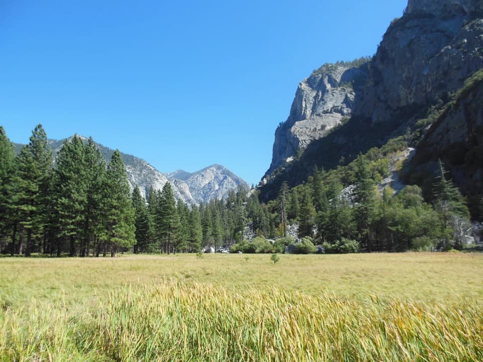
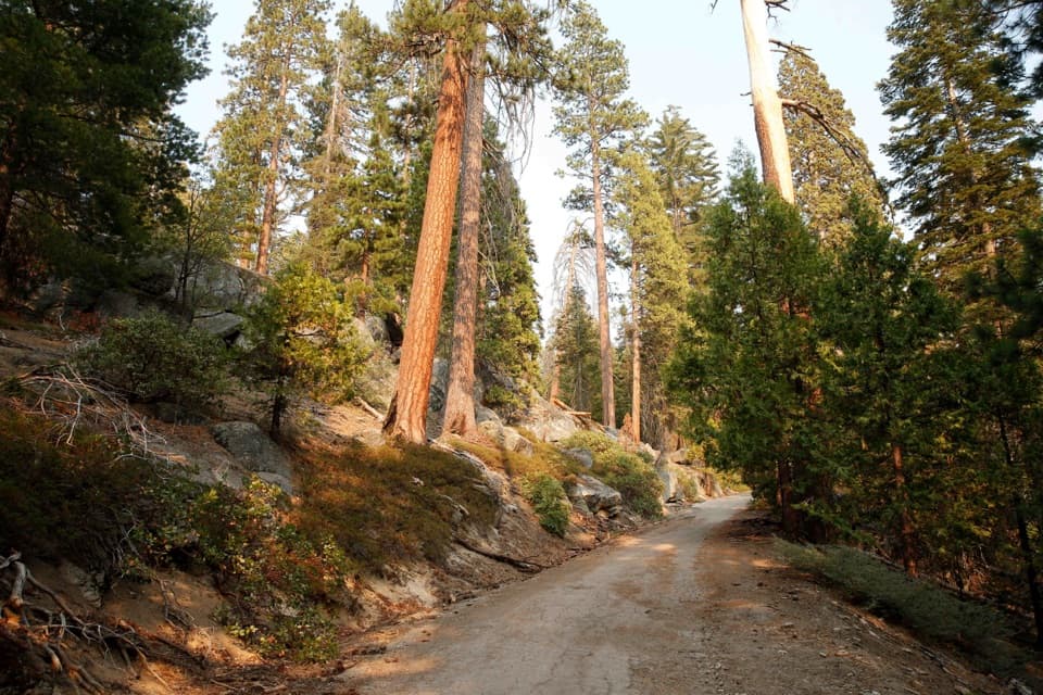
From Road’s End, the Paradise Valley side reaches Mist Falls at 3.9 miles, Lower Paradise at 5.7, Upper Paradise at 10, and Woods Creek crossing at 15.7. The lower route follows the South Fork Kings River through canyon and forest, with Mist Falls as a major stop. The first section around Kanawyers can be sandy and tiring; the climb toward Woods Creek gradually leaves the canyon for higher, more open terrain. At Woods Creek, a suspension bridge crosses the river before the trail climbs toward Dollar Lake and Rae Lakes.
There is a serious river hazard above Paradise Valley: the South Fork Kings crossing is unbridged. Water levels change, and the crossing can be dangerous. Be prepared to turn back if it is not safe to cross. Spring high water is a recurring concern.
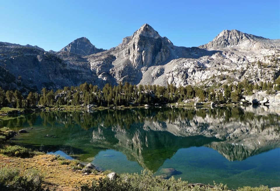
The trail reaches Dollar Lake around mile 19.7 and Rae Lakes around mile 22.7. After the long climb, the lakes sit among bare granite, meadows and scattered pines, with Fin Dome and the Painted Lady rising above the water. The tread around the basin shifts between rocky ground, gravel, dirt and grass. It is worth slowing down here: frame the Painted Lady across the lake from shore to catch its reflection, then look toward Fin Dome from the eastern edge of the second lake.
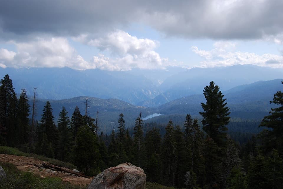
Glen Pass comes at about mile 24.6. The trail climbs steep switchbacks to 11,978 feet, where the Rae Lakes basin opens below; the descent on the far side is rocky and can hold snow into mid or late summer. This is the route’s most demanding stretch, and altitude can make a hard climb feel harder. Do not treat a clear trail at lower elevations as proof that the pass is ready.
From the pass, the route drops past Charlotte Lake Junction around mile 26.7, Vidette Meadow at 28.2 and Junction Meadow at 31.1, then continues toward Sphinx Junction and the return to Road’s End. The Bubbs Creek section is a long descent through a rugged canyon, with creek-side stretches and sandy, dusty footing lower down. The loop rewards a fit backpacker who wants a complete high Sierra journey; its distance, elevation and river crossing make it a poor choice for a rushed itinerary.
Wildlife
 227 sightingsBlack BearMost seen around 7 PMSighting map
 385 sightingsMule DeerMost seen around 7 PMSighting map
 188 sightingsMarmotMost seen around 8 AMSighting map
 118 sightingsPikaMost seen around 7 AMSighting map
 14 sightingsGolden TroutMost seen around 7 PMSighting map
 32 sightingsRainbow TroutMost seen around 7 PMSighting map
Sighting maps show where each species has been reported across Kings Canyon. Wildlife moves, so no sighting is guaranteed.
Keep exploring
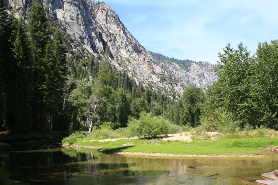 ChallengingParadise Valley Trail11.4 mi · 7 hr · At the trailheadClimb past Mist Falls to a green river valley beneath granite walls.
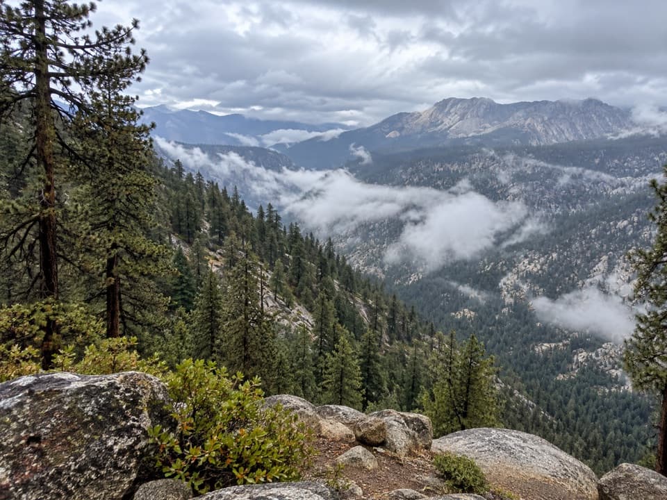 ChallengingBig SEKI Loop154.8 mi · 4 days · At the trailheadA 155-mile wilderness loop over high Sierra passes and alpine lakes.
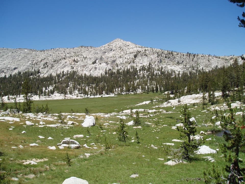 ChallengingGranite Lake and Granite Basin Trail21.9 mi · 12 hr · At the trailheadA steep climb into a granite basin and its high alpine lake.
 ModerateMist Falls Trail8 mi · 4.5 hr · At the trailheadRapids, granite canyon walls and a waterfall worth the long walk.
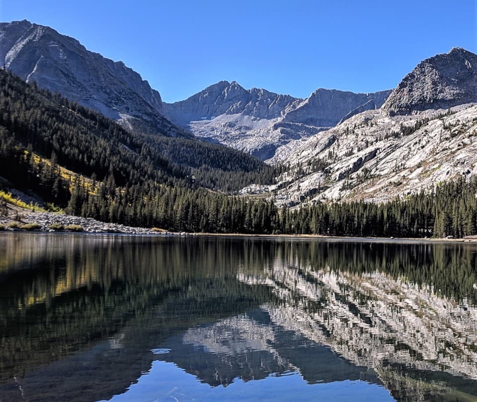 ChallengingEast Lake Trail26.1 mi · 15 hr · At the trailheadAn all-day climb to East Lake beneath Mount Brewer.
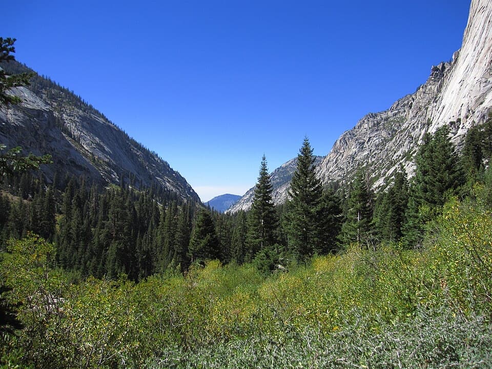 ChallengingBubb's Creek Trail24.6 mi · 12 hr · At the trailheadA steep start opens into a long High Sierra creek corridor.ChallengingLake Reflection Trail36.9 mi · 20 hr · At the trailheadA rugged 37-mile out-and-back through Junction Meadow to Lake Reflection.ChallengingWoods Creek Trail to Woods Creek Crossing31.4 mi · 18 hr · At the trailheadA long backcountry walk to the Woods Creek suspension bridge.
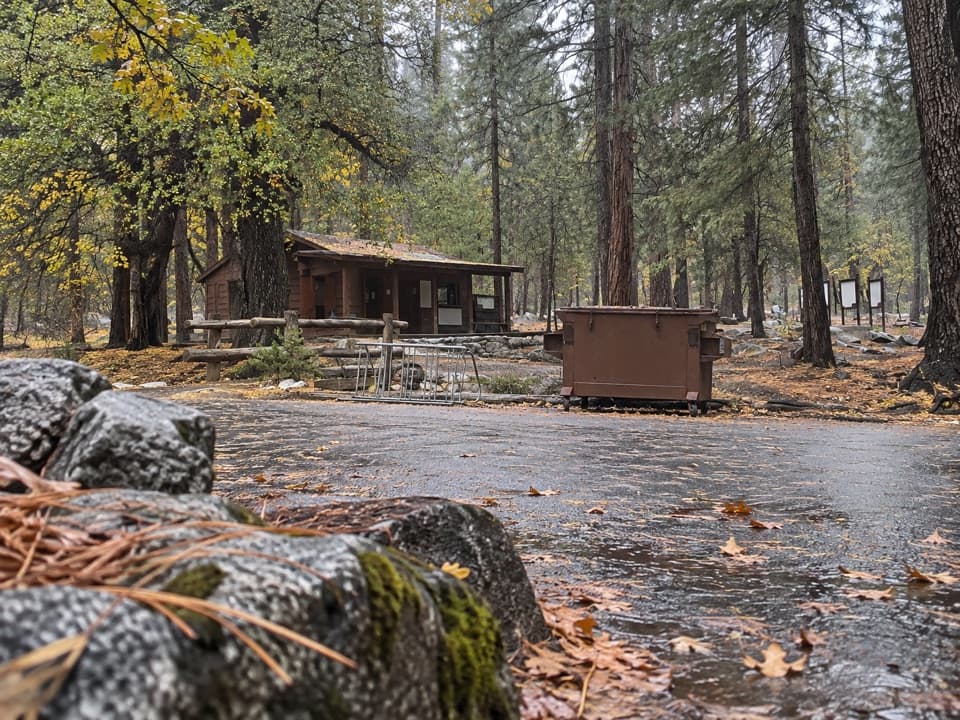 Ranger station · At the trailheadRoad's End Permit StationWilderness permits start here, at the end of Highway 180.
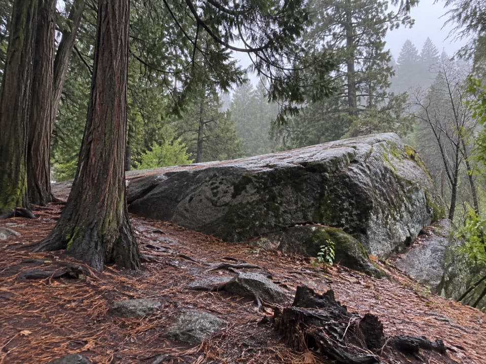 Sight · 0.1 mi awayMuir RockJohn Muir spoke from this boulder about glaciers that shaped the canyon.
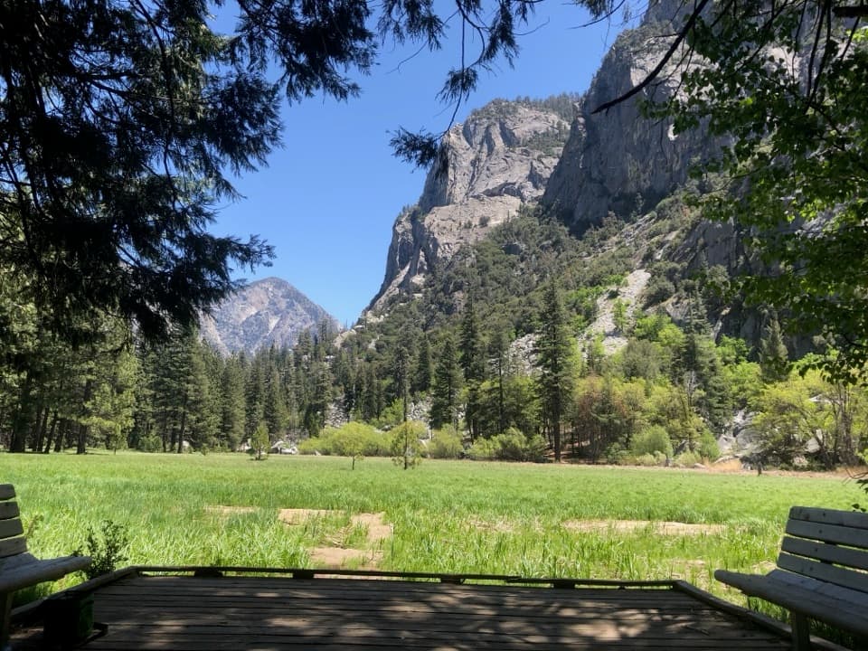 Sight · 0.9 mi awayZumwalt MeadowA short river crossing opens onto a green meadow beneath granite walls.Sight · 2.3 mi awayMist FallsA big waterfall at the end of an 8-mile round trip.
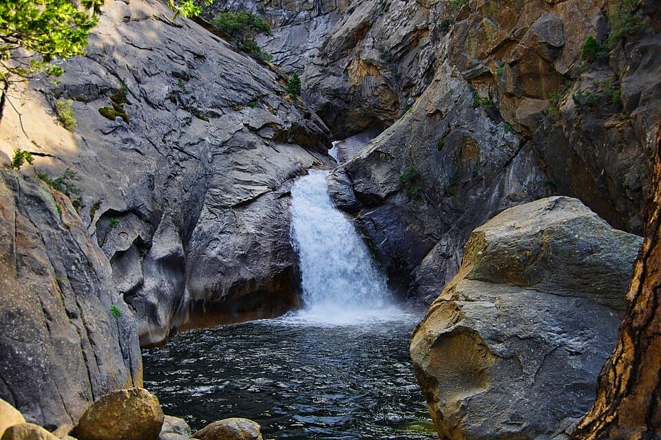 Sight · 2.3 mi awayRoaring River FallsA 40-foot waterfall, reached by a short but steep paved path.
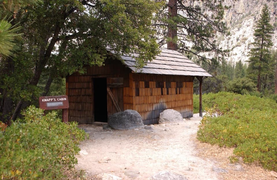 Sight · 3.1 mi awayKnapp's CabinA 1925 fishing cabin with canyon views from a glacial moraine.
 Campground · 4.4 mi awayMoraine CampgroundA riverfront base for Cedar Grove's hikes.
 Sight · 4.5 mi awayCedar Grove Pack StationHorseback rides follow the river through Cedar Grove.
Parkwolf’s Kings Canyon ranking

The audio tour guide for the drive, plus offline maps, trails, and wildlife heatmaps for when the signal drops.