Parking
Use the Kearsarge Pass trailhead by Onion Valley Campground at the end of Onion Valley Road. A vault toilet and food-storage lockers are at the trailhead. The road is usually open May through November, depending on snow.
#10 of 77 trails in Kings Canyon
Kings Canyon National Park, CA
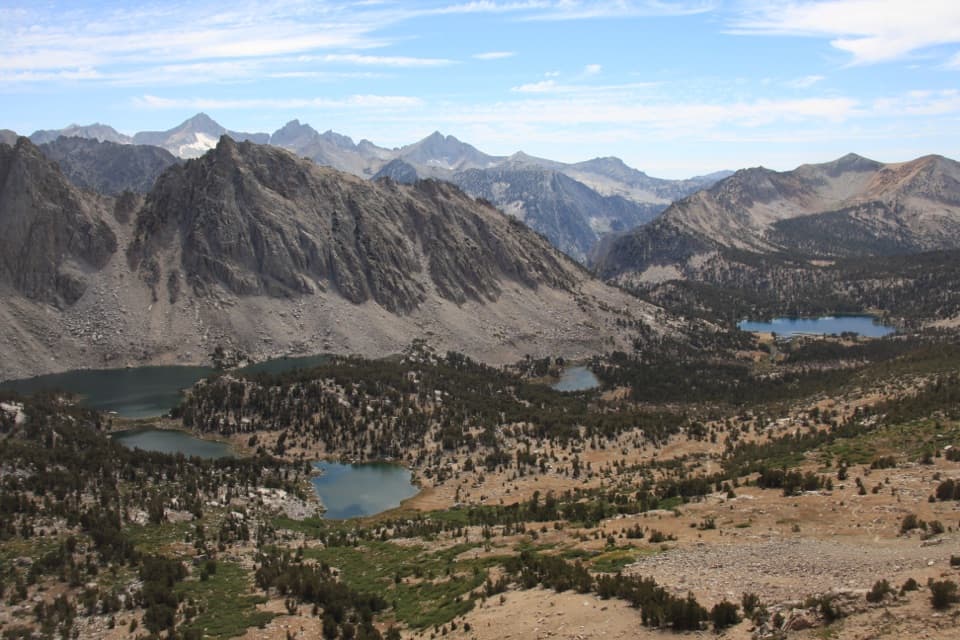
Three lakes, then a high pass with Kings Canyon at your feet.
Overview
Map & elevation
Plan your hike

The highest, rockiest slopes around here are a summer buffet for grizzly bears.
Kings Canyon Tour Guide
Parkwolf is a GPS audio tour guide for Kings Canyon National Park. As you drive, it chimes in with what’s ahead: hidden gems, upcoming stops, history, geology, and wildlife, right through your car’s speakers.
See the Kings Canyon audio tour“…The kids and my husband and I all agree that the narration really added to our experience driving through the parks. We learned so much about the history and the flora & fauna.”


Trail guide
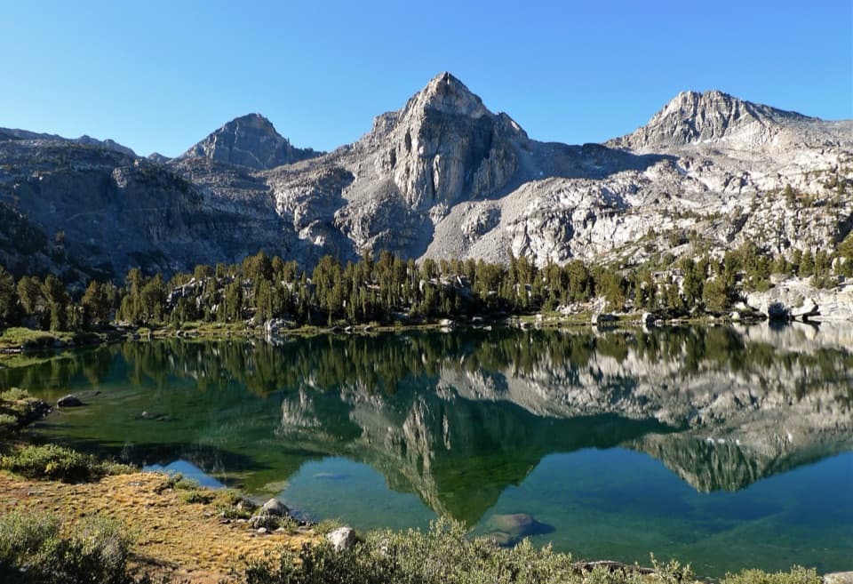
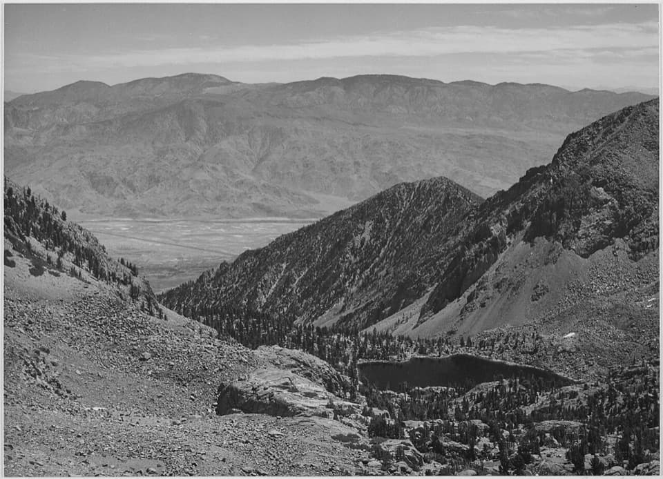
Kearsarge Pass Trail is a 9.4-mile out-and-back from Onion Valley to a high saddle on the Kings Canyon boundary. You climb about 2,500 feet to roughly 11,700 feet, passing alpine lakes before the view opens west into the High Sierra. The Forest Service rounds the route to five miles each way; the mapped trail is just under 4.8 miles to the pass. Think of this as a hard day hike, not a quick lake walk. Give yourself about six hours with breaks and pace the climb from the start; the thin air becomes part of the work well before the top.
The trail starts beside Onion Valley Campground at the end of Onion Valley Road, around 9,200 feet. It gains height on a steady sequence of switchbacks, first through forest, then into more open alpine country. The path is generally well built, but the uphill keeps coming. Views begin to open early across Onion Valley and its surrounding peaks. As you get higher, the trees thin and the route turns rockier; expect a sustained climb rather than one steep wall followed by an easy finish.
Little Pothole, Gilbert and Flower Lakes are landmarks on the ascent. They make good natural pauses, but the destination for this outing is still the pass: each lake is part of a longer climb toward thinner air and more exposed terrain. Beyond the lakes, the trail keeps climbing through alpine tundra. Don’t treat a lakeside stop as the turnaround unless you’ve decided in advance to make this a shorter hike.
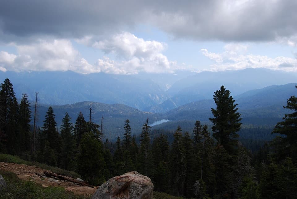
The final stretch gets rockier and more exposed before reaching Kearsarge Pass. At the top, you’re standing on the boundary between the John Muir Wilderness and Kings Canyon National Park, with a broad westward view across Kearsarge and Bullfrog Lakes and the surrounding Sierra ridges. This is the sensible turnaround for the day hike described here. The route continues west to the John Muir Trail and the lakes beyond, but that adds distance and crosses into the national park; it is a different outing, not part of this 9.4-mile round trip.
The trail moves from forest into alpine tundra and past granite slopes. Greenish, smooth-looking serpentine stands out among the rocks along the way; this is California’s state rock. Wildflowers add color in season, though no particular species are a sure thing.
Park at the Kearsarge Pass trailhead by Onion Valley Campground. A vault toilet and food-storage lockers are available there; food service at the trailhead isn’t listed, so bring what you’ll need. The road is usually open May through November, depending on snow. Day hiking needs no wilderness permit; overnight trips do, with a quota of 60 overnight visitors a day from May 1 to November 1. Dogs may hike to the pass on the Inyo National Forest side if they stay under control, but they cannot continue into Kings Canyon National Park. Treat natural water before drinking it.
Wildlife
 227 sightingsBlack BearMost seen around 7 PMSighting map
 385 sightingsMule DeerMost seen around 7 PMSighting map
 188 sightingsMarmotMost seen around 8 AMSighting map
 118 sightingsPikaMost seen around 7 AMSighting map
 14 sightingsGolden TroutMost seen around 7 PMSighting map
 32 sightingsRainbow TroutMost seen around 7 PMSighting map
Sighting maps show where each species has been reported across Kings Canyon. Wildlife moves, so no sighting is guaranteed.
Keep exploring
 ChallengingKearsarge Lakes Trail12.5 mi · 8 hr · At the trailheadCross Kearsarge Pass for three lakes beneath granite pinnacles
 ChallengingCharlotte Lake Trail17.2 mi · 12 hr · At the trailheadReach an alpine lake beyond an 11,800-foot pass.
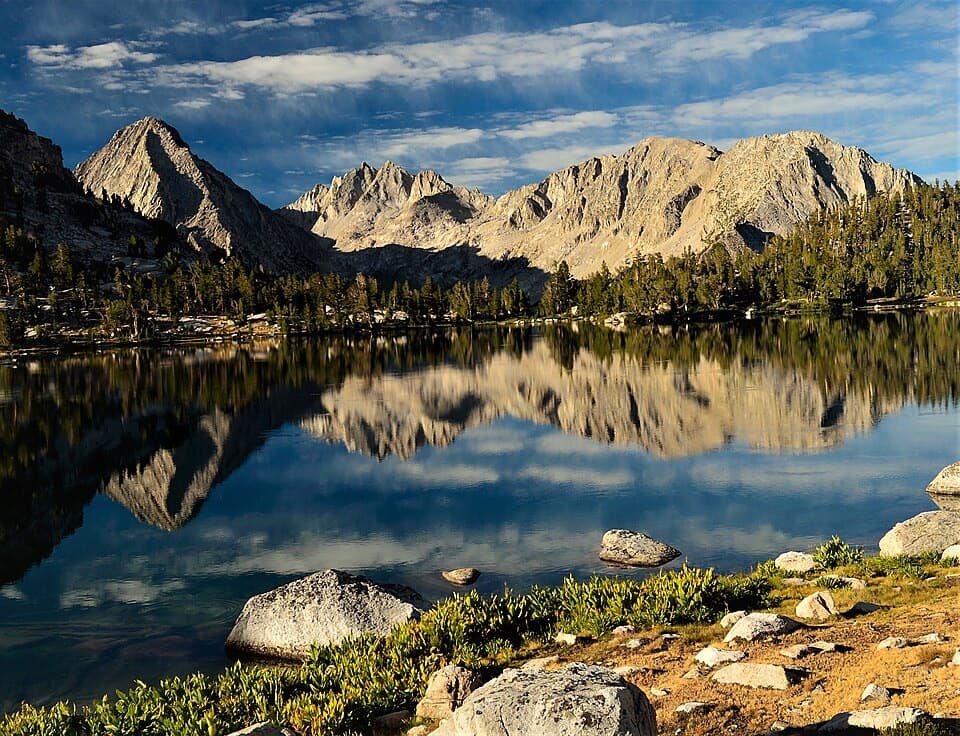 ChallengingBullfrog Lake Trail via Kearsarge Pass13.9 mi · 8.5 hr · At the trailheadCross a high pass for a lake beneath the Videttes.
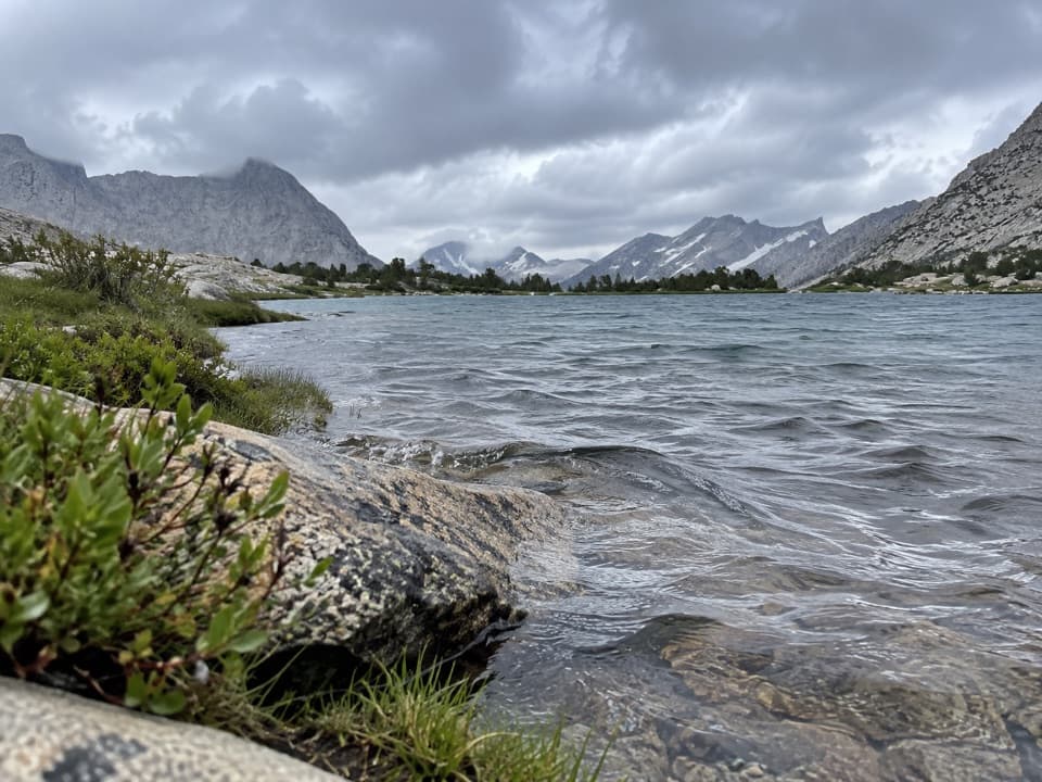 ChallengingCenter Basin Trail3.3 mi · 3 hr · 3.3 mi awayA faint high-basin spur for hikers already deep on the JMT.
 ChallengingDragon Lake Trail1.5 mi · 2 hr · 3.9 mi awayA faint, steep spur to a tucked away lake below Dragon Peak.
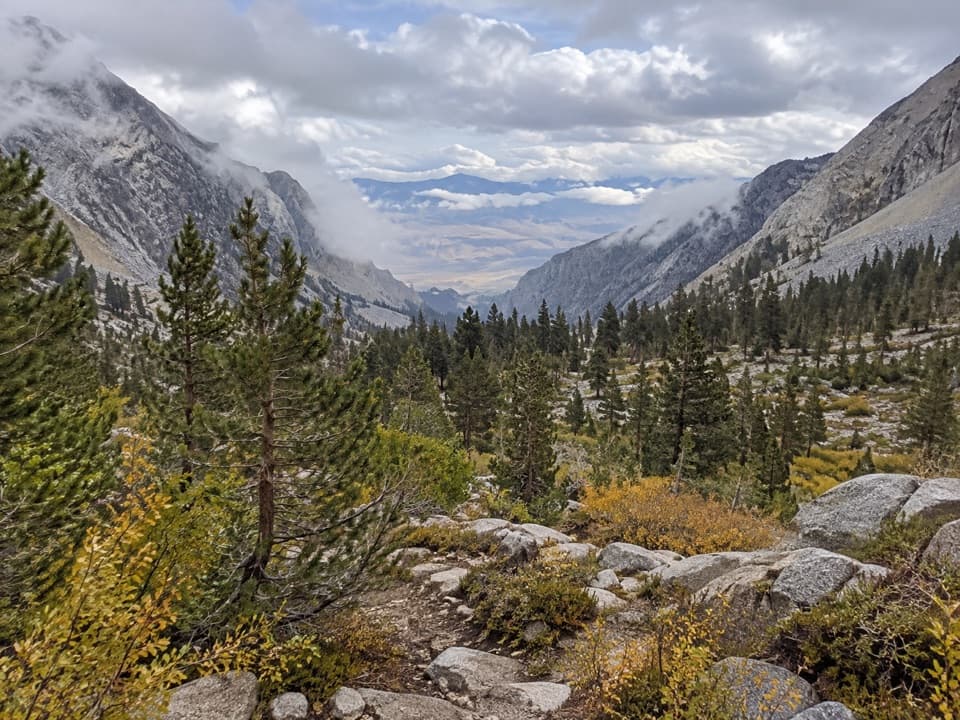 ChallengingBaxter Pass and Baxter Lakes Trail16.5 mi · 14 hr · 5.5 mi awayA rugged climb over Baxter Pass to a remote high-country lake.
 ChallengingSixty Lakes Basin Trail6.3 mi · 6.5 hr · 5.9 mi awayA high, rough side trip from Rae Lakes into an alpine basin.
 ChallengingSawmill Pass Trail12.4 mi · 13 hr · 11.8 mi awayA hard Sierra crossing to the John Muir Trail.
Parkwolf’s Kings Canyon ranking

The audio tour guide for the drive, plus offline maps, trails, and wildlife heatmaps for when the signal drops.