
Place · 0 mi away
Challenging
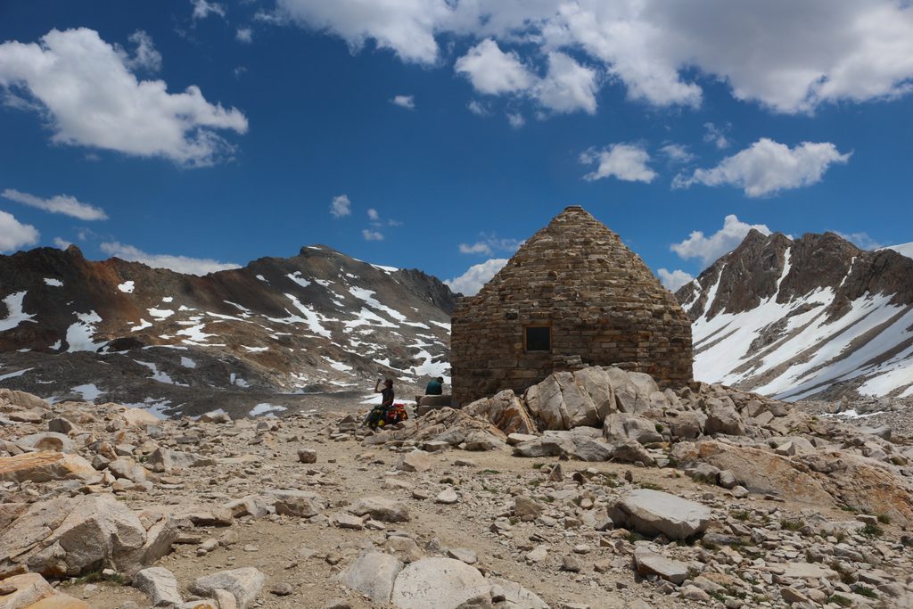
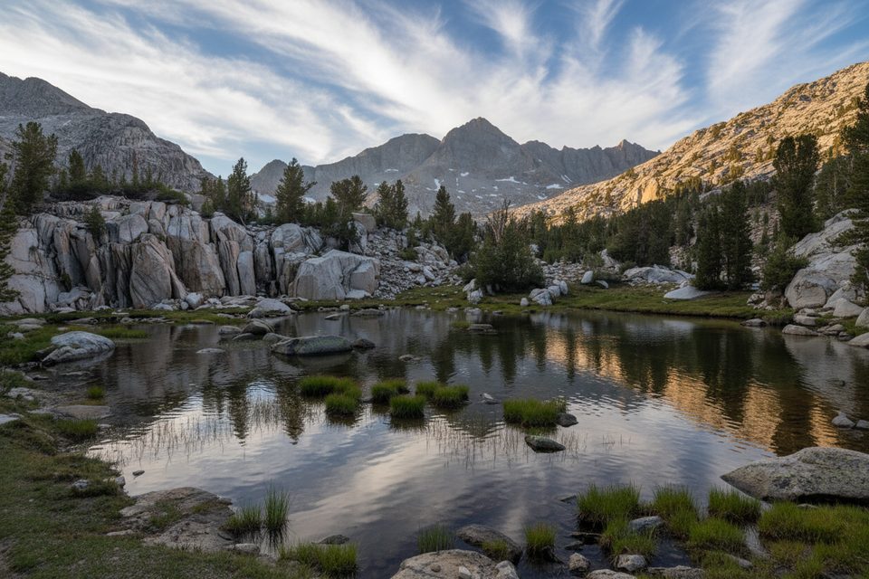
This is the John Muir Trail’s crown-jewel stretch through Kings Canyon National Park—sustained, high-alpine travel linking Evolution Valley and Basin to Forester Pass. Expect big granite, turquoise lakes, and a rhythm of climb-a-pass, drop-into-a-basin, repeat. The full JMT is 211 miles total; most hikers experience the Kings Canyon segment from the park’s north boundary near Piute Creek/South Fork San Joaquin to Forester Pass at the SEKI boundary.
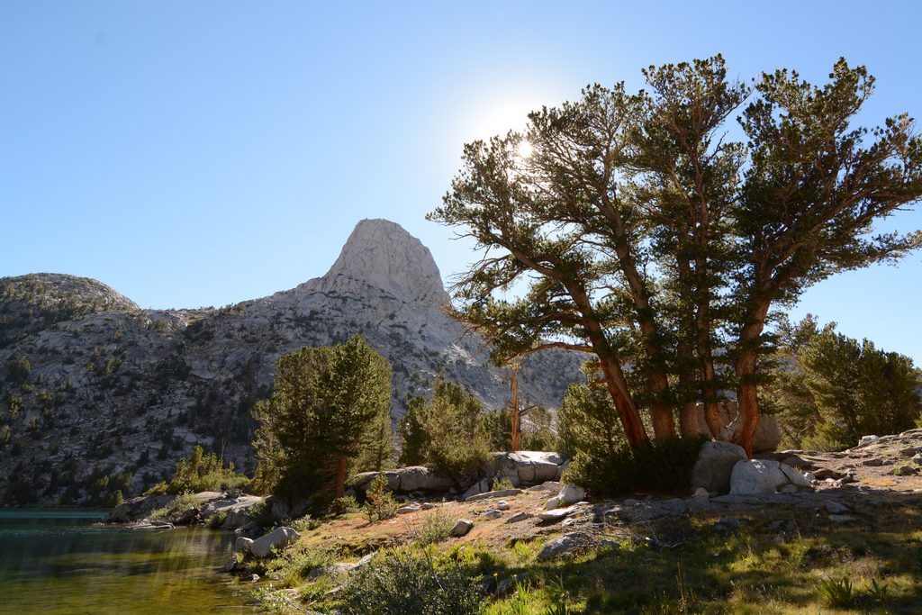
North to south, you’ll thread Evolution Valley and Basin (McClure Meadow, Evolution Lake, Wanda/Sapphire Lakes), crest Muir Pass by the stone Muir Hut, descend LeConte Canyon, grind up the Golden Staircase to Palisade Lakes, then go over Mather Pass to the wide-open Upper Basin and Lake Marjorie. Pinchot Pass comes next, then the Woods Creek suspension bridge, Rae Lakes’ classic cirque, Glen Pass, Vidette Meadow, and finally Forester Pass—your last big climb before Sequoia. Many consider this the hardest and most rewarding section of the entire JMT.
It’s a true high-altitude undertaking with multiple 11–13k-foot passes and sizable daily elevation swings. Early season often means lingering snow on Muir, Mather, Glen, and Forester; summer afternoons can bring thunderstorms. Water is abundant, which helps with pack weight but not with those climbs—plan shorter days around the bigger passes.
July through early October is the sweet spot for most hikers. Earlier starts can be gorgeous but more technical due to snow; later brings colder nights and a higher chance of shoulder-season weather on the passes. Start big climbs early for firmer snow and fewer storms, and to bank light for the descent.
Muir Trail Ranch near the park boundary is the classic resupply hub for southbounders. Mid-section, Kearsarge Pass provides the most practical exit/resupply route to Onion Valley and the Highway 395 corridor (Independence). Don’t cache food—rangers remove caches—and carry an approved bear canister; it’s required across much of this corridor, including the Woods and Bubbs Creek areas.
You’ll need a wilderness permit tied to your starting agency and trailhead. During quota season (roughly late May to late September), entries are limited by trailhead and must be reserved in advance; permits are picked up in person during the posted window. Campfires are prohibited above 10,000 feet in Kings Canyon, which includes much of this route. Store all food and scented items properly, follow distance-from-water camping rules, and keep groups within size limits.
Craving more solitude and even wilder terrain? The Kings Canyon High Basin Route is an off-trail alternative that intentionally avoids the JMT; it’s more remote and mostly Class 2, but it’s a different commitment entirely.
No single trailhead: most enter via east-side passes (Kearsarge/Onion Valley or Bishop Pass) and park there, or connect after resupplying at Muir Trail Ranch. Many hikers shuttle along the Highway 395 corridor and stage a car at their exit.
High altitude and early-season snow on multiple 11–13k ft passes; afternoon thunderstorms; bear canister required in Woods and Bubbs Creek areas; campfires prohibited above 10,000 ft; no food caching; quota-season permits must be picked up in person within the stated window.
Place · 0 mi away
Place · 0.1 mi away
Place · 0.2 mi away
Place · 0.2 mi away
Challenging · 0 mi away
Challenging · 0 mi away
Moderate · 0 mi away
Challenging · 0 mi away

Parkwolf Tour Guide
