
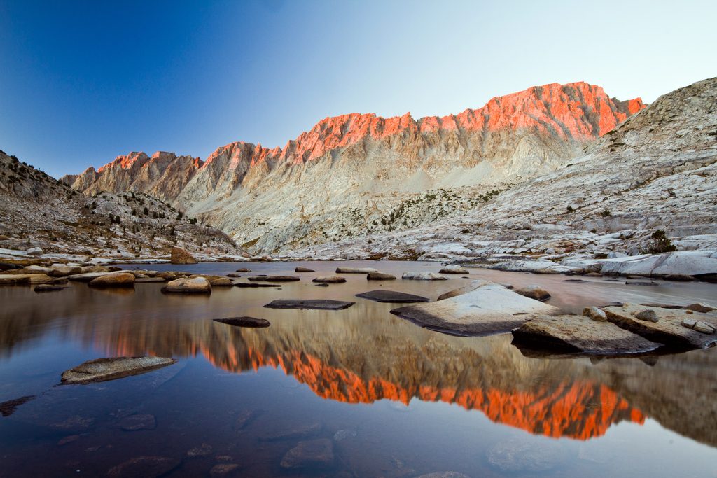
Place · 0.9 mi away
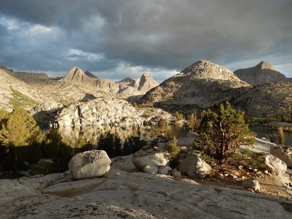
High, austere, and unforgettable—Evolution Basin is the lake-studded granite bowl that stretches between Muir Pass and the lip of Evolution Valley. Think polished slabs, turquoise water, and big sky at 10–12k feet. The basin and nearby peaks were named for the great evolutionists in the 1890s, and the place still feels like a living geology lesson.
Trailheads typically have parking and vault toilets, but don’t count on potable water or picnic tables. In the basin itself there are no built amenities—no restrooms, no trash, no bear boxes.
Expect sustained high-elevation travel (roughly 9,000–12,000 ft) with steady climbing and descending. Above treeline it’s a desolate-beautiful granite world with plentiful water. Early season can bring lingering snow near Muir Pass and more serious stream fords; later season crossings are usually easier.
Deer are common in the meadows; bears are present—bear canisters are required for overnights. Mid-summer mosquitoes can be fierce in meadow zones like nearby Big Pete Meadow. Water is abundant throughout this corridor, so you can carry less between reliable sources.
A wilderness permit is required. Which agency issues it depends on your entry trailhead (east-side entries use Inyo National Forest; west-side entries use the park’s system). Bear canisters are mandatory; rentals are available from ranger stations. Fire rules change with elevation; expect stricter limits above 10,000 ft. A dedicated loop map like “Bishop Pass: North Lake–South Lake” is a proven planning tool.
Late August through September is the sweet spot: fewer bugs, lower and safer fords, thinner crowds, and crisp nights. If you’re eyeing mid-summer, bring full bug defenses. Start early for long climbs and softer light on the lakes; give yourself 5–7 days if you want time to linger at Evolution or Sapphire instead of just marching through.
Place · 0.9 mi away
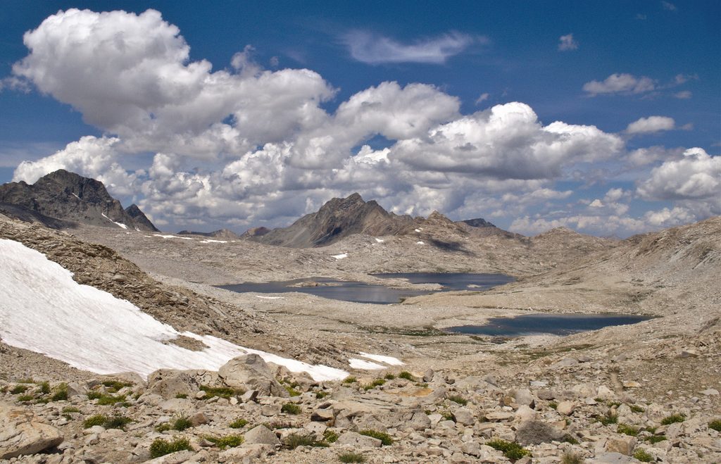
Place · 1.1 mi away
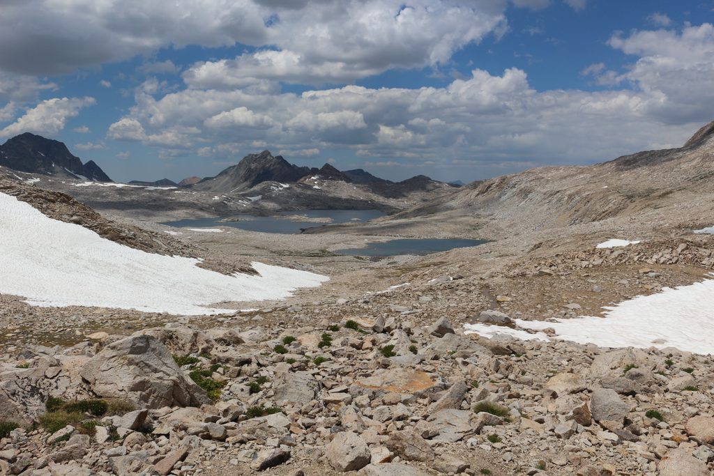
Place · 2.1 mi away
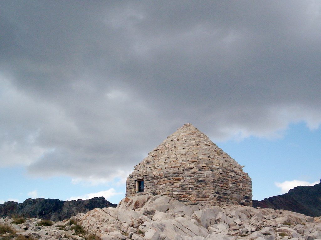
Place · 2.1 mi away
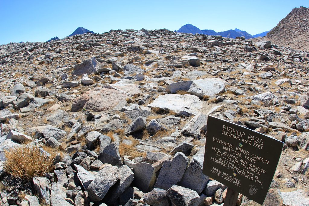
Challenging · 7.6 mi away
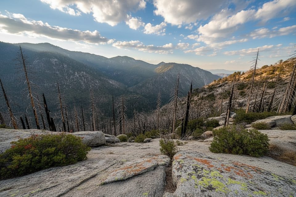
Challenging · 22.9 mi away
Challenging · 23.7 mi away
Challenging · 23.7 mi away

Parkwolf Tour Guide
