
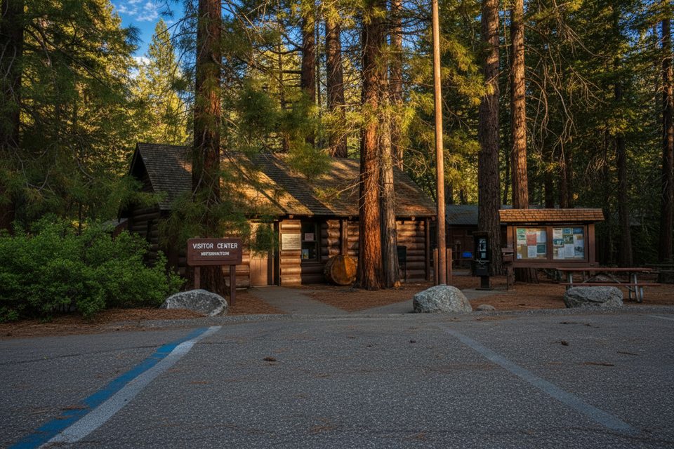
Place · 0.2 mi away
Challenging
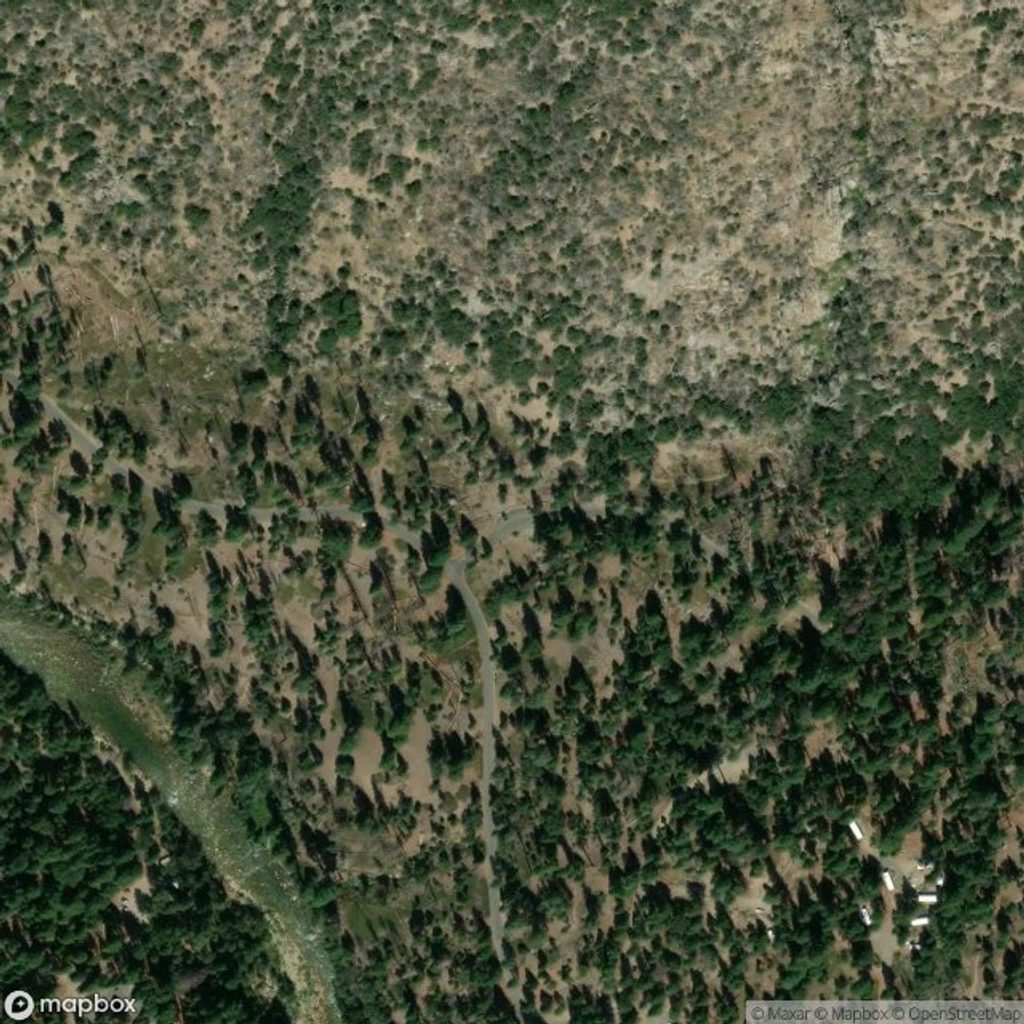
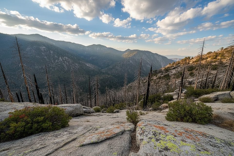
If you want the best bang-for-buck vista in Cedar Grove, this is it—along with a serious workout. Lookout Peak via the Don Cecil Trail is a strenuous out-and-back that climbs roughly 3,800–3,900 feet over about 10.6–11.2 miles total before finishing with a short, loose, unmaintained scramble to the 8,531-foot summit. It’s a sustained, hot climb with minimal shade, but the payoff is a sweeping look into Kings Canyon, the Monarch Divide, and Sentinel Ridge. Plan on 6–9 hours, depending on heat, fitness, and how smoothly you navigate the summit use-trail.
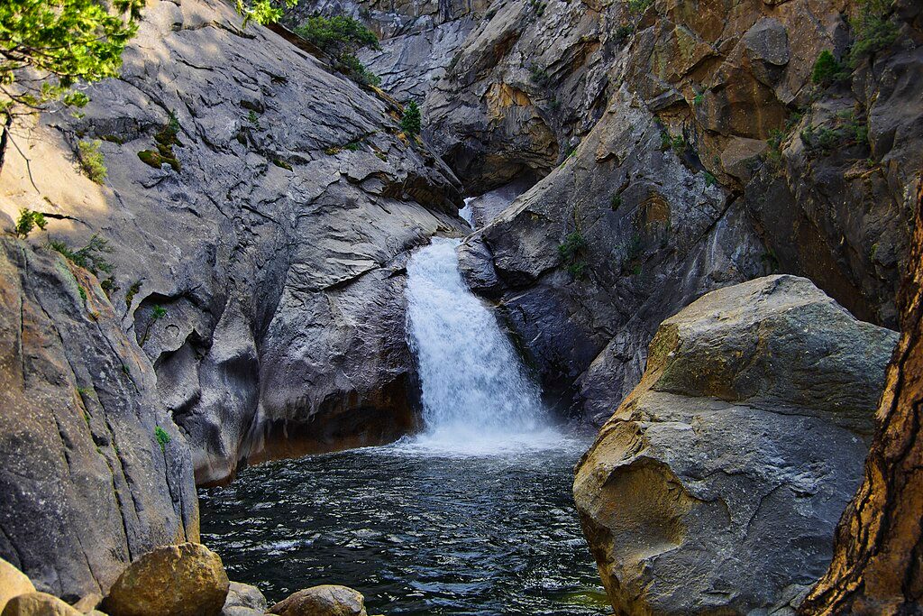
From roadside parking just past Cedar Grove Village on Highway 180, the Don Cecil Trail climbs immediately. Around the first quarter-mile you’ll cross a heliport service road—continue straight uphill. At roughly 0.8–0.9 miles, a wooden bridge spans Sheep Creek and its cascades—a great early checkpoint or a mellow turnaround if you’re only out for a shorter waterfall walk. Beyond, the ascent stays steady and exposed as you switchback toward the upper Don Cecil trailhead near the park boundary.
Around 4.9 miles you meet Horse Corral Road. Turn right, then pick up the informal use-trail toward Lookout Peak. The final 0.5–0.6 miles are where the character changes: the tread becomes faint and loose, and you’ll do a bit of choose-your-own-line travel with a short section of hands-on scrambling to reach the true high point near telecom equipment. Offline maps help here, and grippy shoes plus trekking poles make a real difference on the descent.
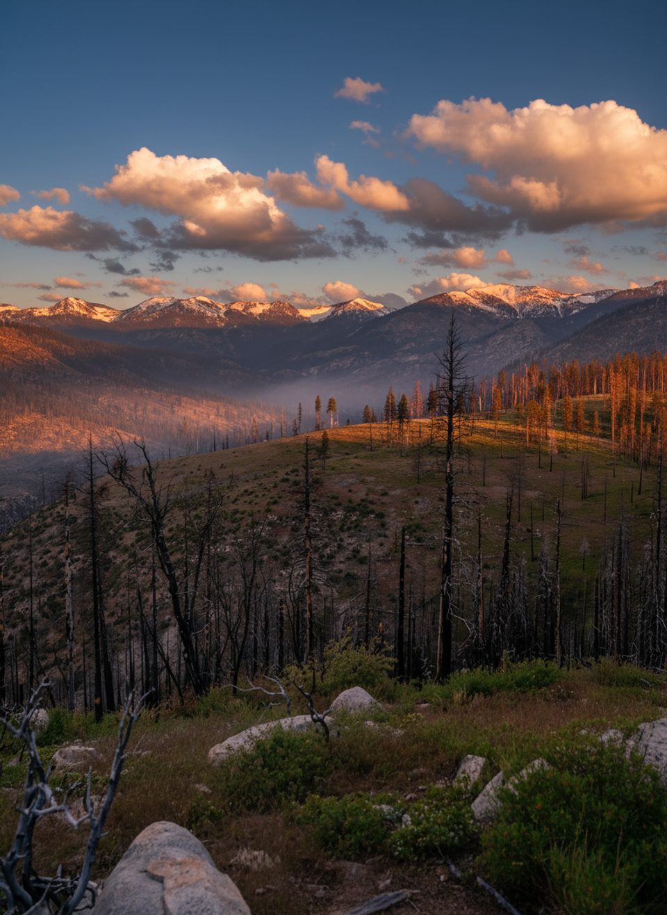
This route is largely exposed. Summer in the canyon runs hot, and a previous burn has reduced tree cover on Lookout Peak’s east slopes, so expect sun. Carry at least 3 liters per person unless you plan to filter from Sheep Creek (and a smaller intermittent stream). Rattlesnakes are possible—watch your footing. The upper use-trail can be washed out or blocked by downed trees after storms or fire impacts; navigation can be tricky near the top. The final summit push includes loose dirt and light Class 3 scrambling.
With a high-clearance vehicle and good road conditions, you can approach from Big Meadows/Horse Corral on a dirt road and take a steep, roughly half-mile use-trail/scramble to the summit. This shortcut is not maintained—confirm road status before committing.
The high, sculpted walls and deep trench of Kings Canyon were carved by Pleistocene glaciers, which gouged these valleys into the tough granitic core of the Sierra. Around Lookout Peak you’re traveling on Cretaceous granites and granodiorites—part of the Sierra Nevada batholith—intruded into older metamorphic rocks that predate the range. It’s classic Sierra stone underfoot and all around you, with big views toward the Monarch Divide and beyond.
Spring and fall offer the most comfortable temperatures and the best experience. In summer, start well before sunrise to beat the heat and give yourself buffer for the summit route-finding. Winter conditions can linger at higher elevations. Weekdays tend to be quieter, but this route sees far fewer people than the marquee Cedar Grove hikes regardless.
Bring strong sun protection, ample water/electrolytes, offline maps, and sturdy footwear. Trekking poles shine on the long descent and the loose upper slope. Bear spray is not allowed here. If you want great scenery with less effort, consider nearby Mist Falls as a more moderate, family-friendly alternative.
Roadside parking off Highway 180 just past the Cedar Grove Village turn; from day-use parking, cross carefully to the signed Don Cecil Trail.
Intense summer heat and long exposure; limited water beyond Sheep Creek; rattlesnakes; faint, loose summit use-trail with short Class 3 scrambling—download offline maps. Bear spray is not allowed.
Place · 0.2 mi away
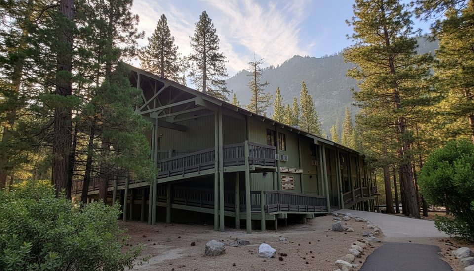
Place · 0.2 mi away
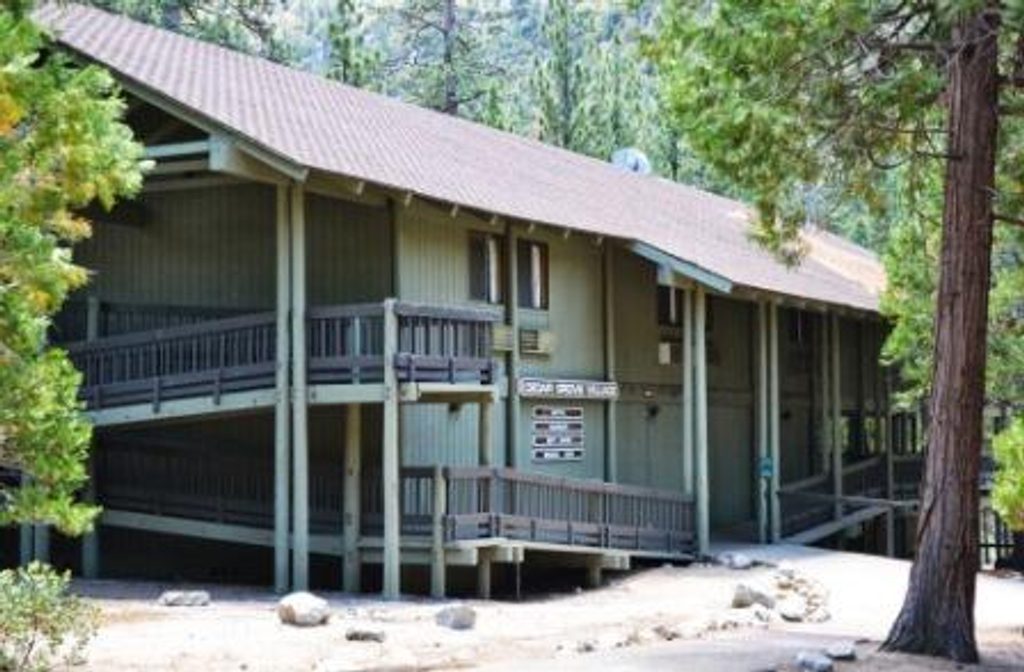
Place · 0.3 mi away
Place · 0.3 mi away
Challenging · 0 mi away
Challenging · 0 mi away
Challenging · 2.7 mi away
Easy · 2.7 mi away

Parkwolf Tour Guide
