
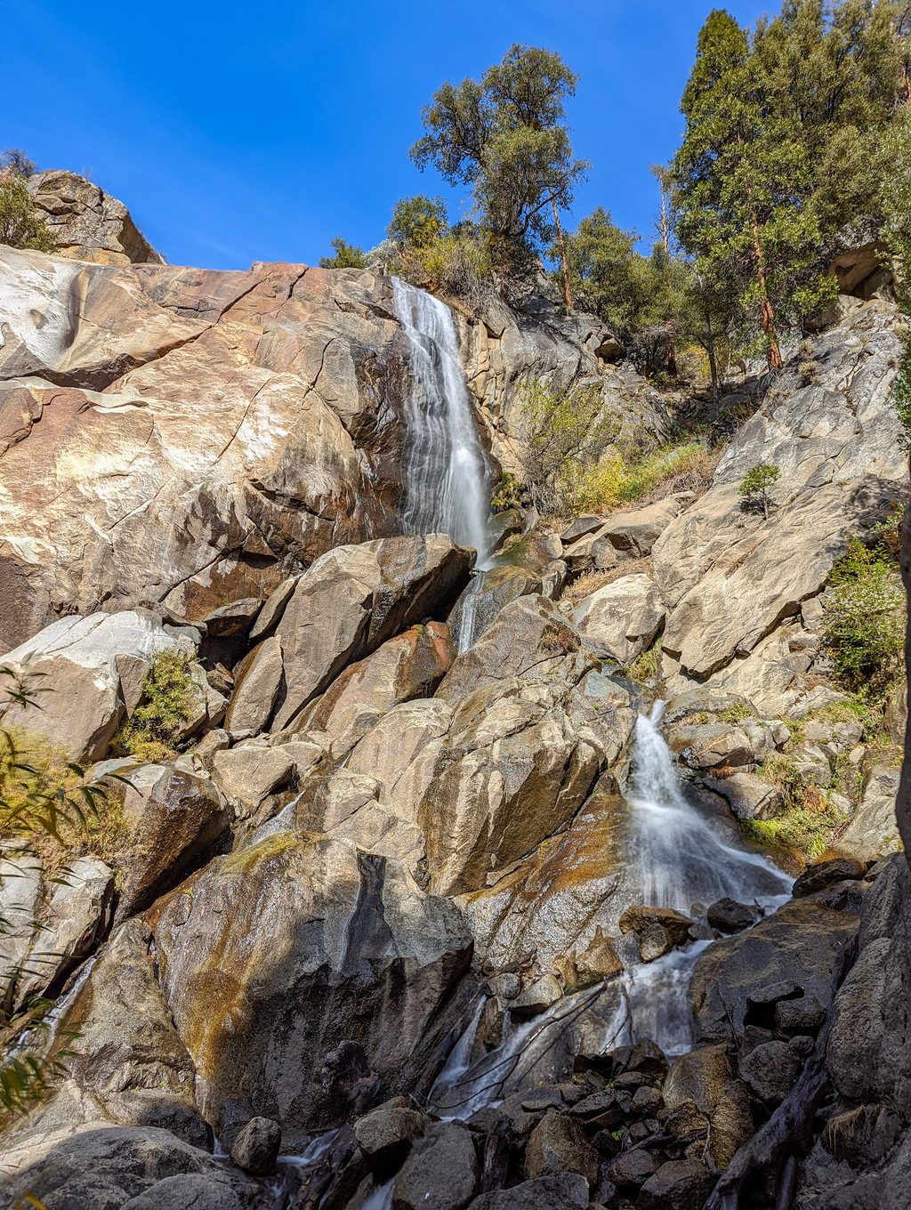
Place · 1.6 mi away
Challenging
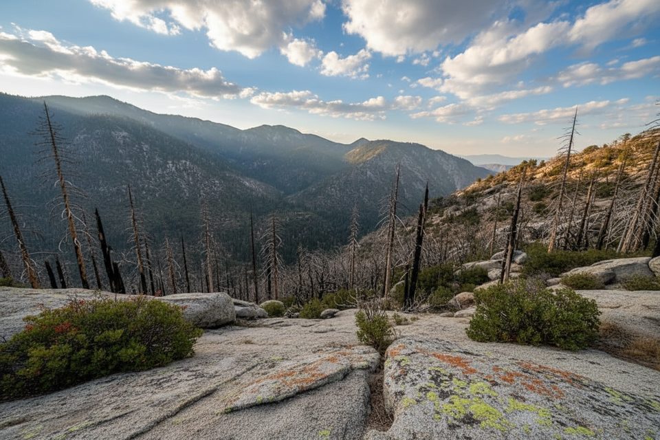
Deer Cove is a tough, no-nonsense climb out of the Kings River canyon that rewards grit with sweeping views and a true wilderness feel. The classic point-to-point variant runs Deer Cove to Cedar Grove at about 14 miles one way with roughly 4,500 feet of gain and a long descent into the valley. Expect a relentlessly steep first 5 miles as you switchback through burn scars with big panoramas of Kings Canyon and the Monarch Divide.
This route begins on national forest land (Monarch Wilderness) and can enter Kings Canyon National Park if you continue toward Cedar Grove, so regulations change along the way. Conditions are rough in places due to past fires and limited maintenance—this is a serious undertaking best for experienced hikers who are comfortable with heat, exposure, and occasional route-finding.
Key waypoints on the main climb include Deer Cove Creek (~2 miles), Deer Cove Saddle (~3.5 miles), and Wildman Meadow (~5.5 miles). Beyond the meadows, signage and tread can degrade, especially on the lines heading to Grizzly Lakes.
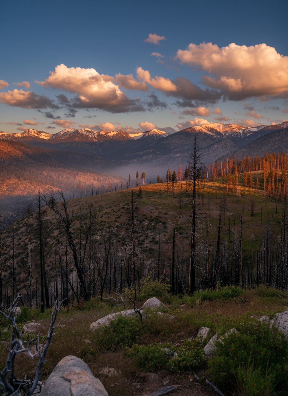
Past wildfires (notably the Rough Fire) left large open slopes with minimal shade, blowdowns, and occasional washouts. Expect hot, sun-exposed climbing, scarce water until creek crossings, and stretches where the trail narrows or briefly disappears. In post-fire areas, watch for poodle-dog bush (bright purple blooms)—it can cause a nasty skin reaction if touched. Bears are around; practice strict food storage and stay alert. Seasonal or emergency closures have affected this corridor in recent years—always check current status with the local ranger district before committing.
Cool seasons and early starts are the name of the game. Late spring through fall can work, but summer afternoons are punishing in the burn scars. Begin at dawn for shade and more forgiving temps. After wet winters, expect variable creek flows; late season can bring dry stretches—carry ample capacity either way. Post-fire wildflower displays can be excellent in season, especially lower on the climb.
Small roadside pullouts on CA‑180 about 1.5 miles east of Grizzly Falls. There’s no formal lot—park fully off the pavement, expect limited signage, and use caution with highway traffic.
Roadside pullouts on CA-180 about 1.5 miles east of Grizzly Falls; no formal lot—park fully off pavement and watch for fast traffic.
Very steep, hot, and exposed early miles with limited shade; scarce water at times; downed trees, washouts, and faint tread in places; poodle-dog bush can cause rashes; bears present; verify current closures/conditions before you go.
Place · 1.6 mi away
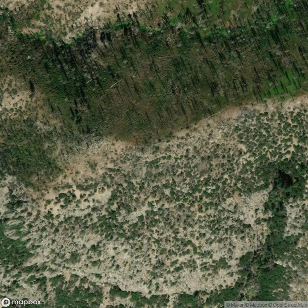
Place · 2 mi away
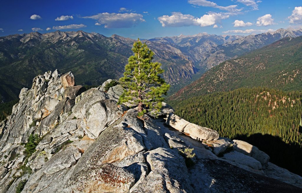
Place · 2.1 mi away
Place · 2.1 mi away
Challenging · 2.7 mi away
Challenging · 2.7 mi away
Challenging · 2.7 mi away

Moderate · 4.5 mi away

Parkwolf Tour Guide
