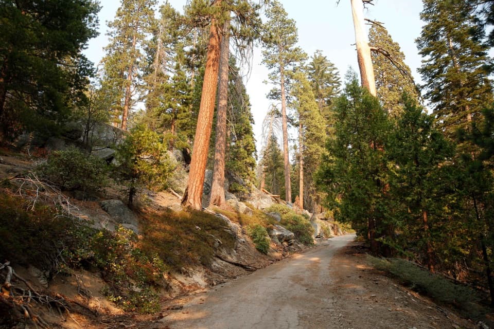
Parking
The small falls trailhead lot is beside Highway 180, about 3 miles east of Cedar Grove Village. A roadside turnout west of the bridge has been used when the lot fills, but parking is limited.

#4 of 77 trails in Kings Canyon
Kings Canyon National Park, CA
A short paved walk ends at a granite-chute waterfall.
Overview
Map & elevation
Plan your hike

The highest, rockiest slopes around here are a summer buffet for grizzly bears.
Kings Canyon Tour Guide
Parkwolf is a GPS audio tour guide for Kings Canyon National Park. As you drive, it chimes in with what’s ahead: hidden gems, upcoming stops, history, geology, and wildlife, right through your car’s speakers.
See the Kings Canyon audio tourRecorded for this trailhead
Roaring River Falls“You're coming up on Roaring River Falls, a good choice for a waterfall stop without a long hike. The river squeezes through a narrow granite chute and drops about forty feet into a pool.”
Plays as you drive up to this trailhead in the Parkwolf Kings Canyon Tour Guide.
More stories near here in the app
“…The kids and my husband and I all agree that the narration really added to our experience driving through the parks. We learned so much about the history and the flora & fauna.”


Trail guide
Roaring River Falls Trail is a paved out-and-back from Highway 180 to the waterfall, about 0.3 miles round trip with roughly 35 feet of climbing. Allow 15 to 20 minutes for the walk and a stop at the viewing area. It is a shaded, relatively accessible way to see one of Cedar Grove's most striking falls, but it is a brief stop rather than a substantial hike. The river is usually loudest and strongest in late spring and early summer.
Start at the small lot about three miles east of Cedar Grove Village. The path climbs gently under trees to a junction with the River Trail, then the paved branch continues to a viewing area beside the falls. Return the same way. The River Trail's longer route toward Zumwalt Meadow is a separate outing, not part of this short walk.
Roaring River drains Deadman and Cloud canyons, then drops about 40 feet through a narrow granite chute into a pool. Its force changes through the year; late spring and early summer usually bring the fullest, noisiest flow. From the paved viewing area, frame the whole chute with the pool below it to show how the granite walls shape the falls.
Wildlife
 227 sightingsBlack BearMost seen around 7 PMSighting map
 385 sightingsMule DeerMost seen around 7 PMSighting map
 188 sightingsMarmotMost seen around 8 AMSighting map
 118 sightingsPikaMost seen around 7 AMSighting map
 14 sightingsGolden TroutMost seen around 7 PMSighting map
 32 sightingsRainbow TroutMost seen around 7 PMSighting map
Sighting maps show where each species has been reported across Kings Canyon. Wildlife moves, so no sighting is guaranteed.
Keep exploring
EasyKings Canyon River Trail2.8 mi · 1.8 hr · At the trailheadA largely level river walk from Roaring River Falls to Road's End.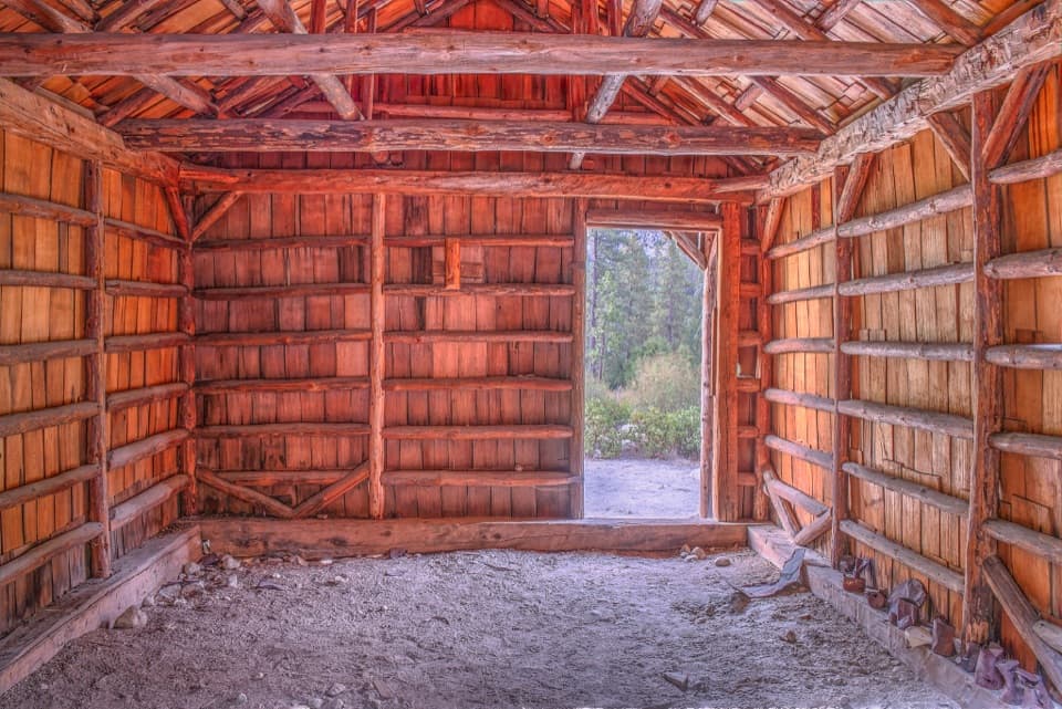 EasyKnapp’s Cabin Trail0.1 mi · 15 min · 0.8 mi awayA tiny cabin stop with a surprisingly big canyon view
 EasyZumwalt Meadow Trail1.5 mi · 1 hr · 1.5 mi awayCross the river for a meadow view framed by granite cliffs.
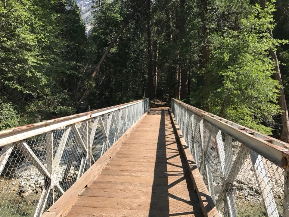 EasyKanawyer Loop Trail5 mi · 2.5 hr · 2.2 mi awayA five-mile river loop with easy grades and a rougher return.
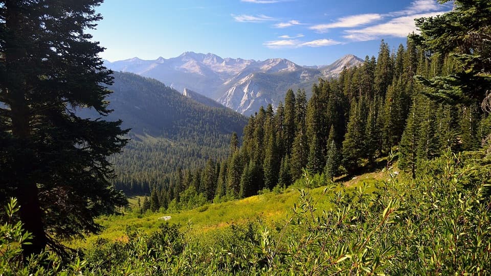 ChallengingGrouse Lake via Copper Creek Trail17.2 mi · 13 hr · 2.3 mi awayA steep canyon climb ends at a granite lake beyond the tread
 ChallengingRae Lakes Loop41.4 mi · 1.3 days · 2.3 mi awayA high Sierra circuit of lakes, granite and a hard pass.
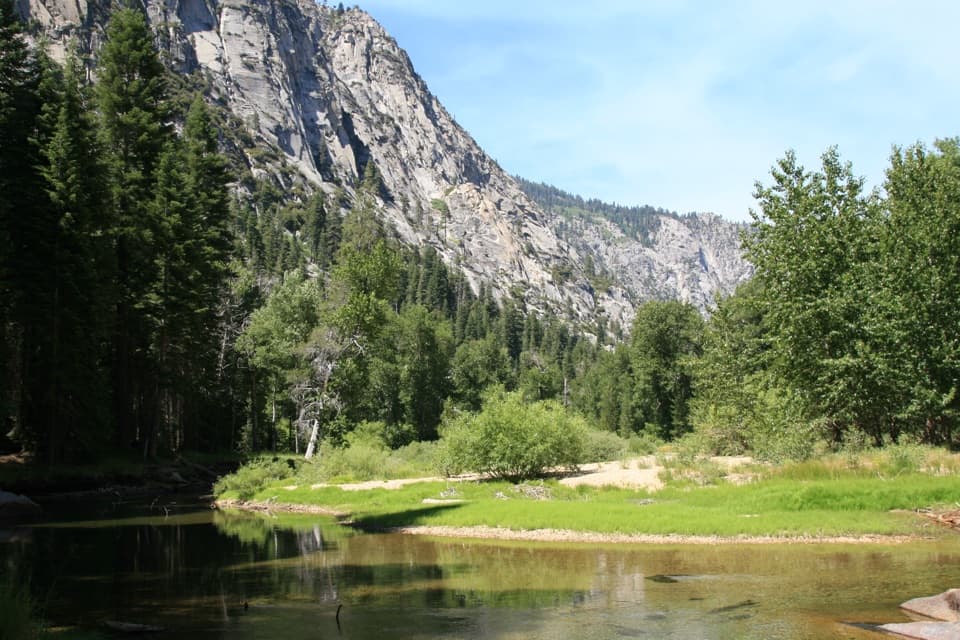 ChallengingParadise Valley Trail11.4 mi · 7 hr · 2.3 mi awayClimb past Mist Falls to a green river valley beneath granite walls.
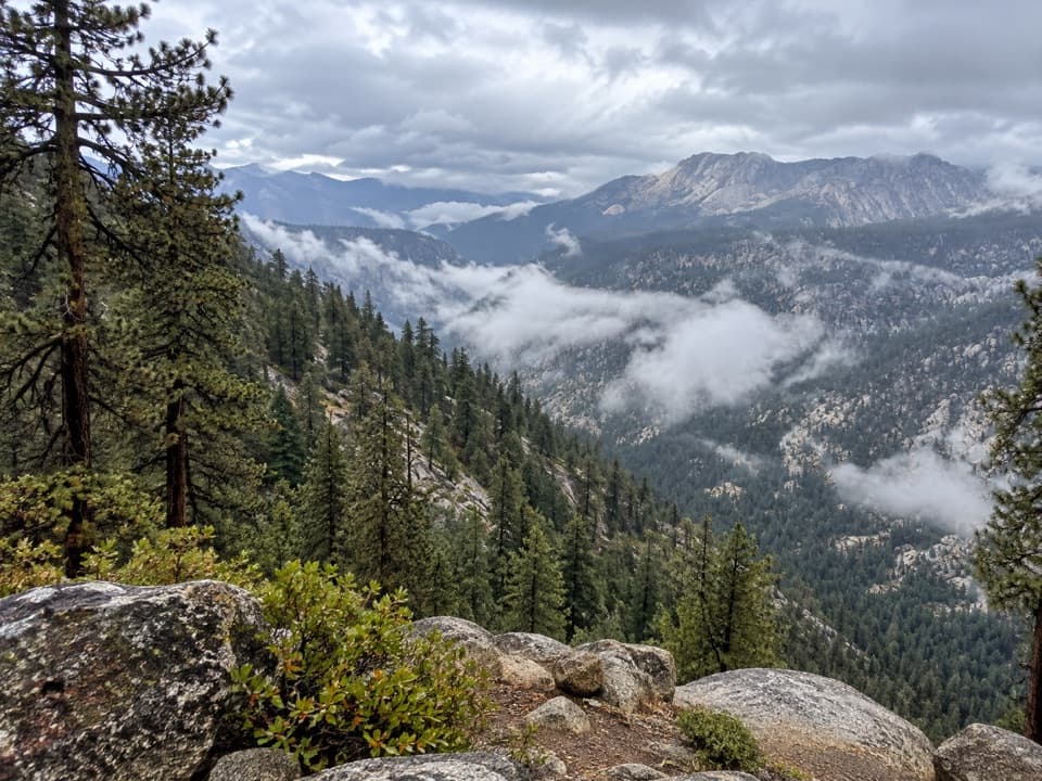 ChallengingBig SEKI Loop154.8 mi · 4 days · 2.3 mi awayA 155-mile wilderness loop over high Sierra passes and alpine lakes.Sight · 0.2 mi awayRoaring River FallsA 40-foot waterfall, reached by a short but steep paved path.
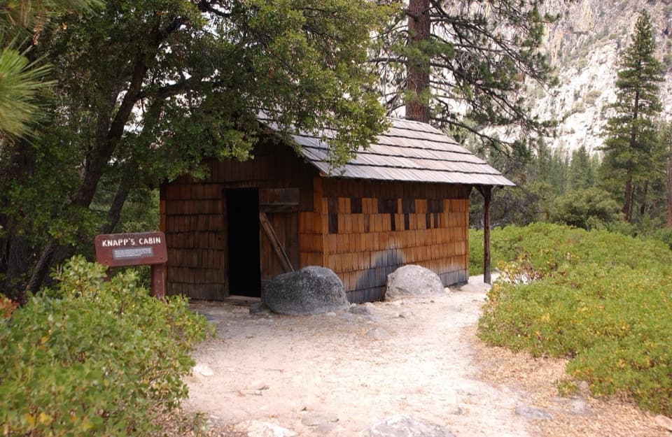 Sight · 0.8 mi awayKnapp's CabinA 1925 fishing cabin with canyon views from a glacial moraine.
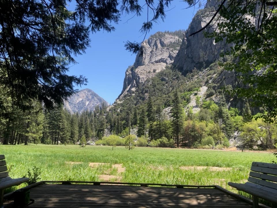 Sight · 1.5 mi awayZumwalt MeadowA short river crossing opens onto a green meadow beneath granite walls.
 Campground · 2.2 mi awayMoraine CampgroundA riverfront base for Cedar Grove's hikes.
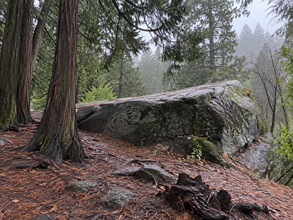 Sight · 2.2 mi awayMuir RockJohn Muir spoke from this boulder about glaciers that shaped the canyon.
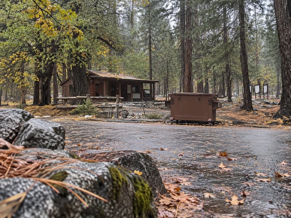 Ranger station · 2.3 mi awayRoad's End Permit StationWilderness permits start here, at the end of Highway 180.
 Sight · 2.4 mi awayCedar Grove Pack StationHorseback rides follow the river through Cedar Grove.
 Campground · 2.4 mi awayCanyon View Group CampgroundGroup camping beside the South Fork beneath granite canyon walls.
Parkwolf’s Kings Canyon ranking

The audio tour guide for the drive, plus offline maps, trails, and wildlife heatmaps for when the signal drops.