Parking
Eight miles south of Grant Grove Village on Generals Highway; park in the indicated area at Big Baldy Ridge Trailhead. An orientation panel at the start shows a map of the trail area.

#9 of 77 trails in Kings Canyon
Kings Canyon National Park, CA
Climb a forested ridge to granite views over Redwood Canyon.
Overview
Map & elevation
Plan your hike

The highest, rockiest slopes around here are a summer buffet for grizzly bears.
Kings Canyon Tour Guide
Parkwolf is a GPS audio tour guide for Kings Canyon National Park. As you drive, it chimes in with what’s ahead: hidden gems, upcoming stops, history, geology, and wildlife, right through your car’s speakers.
See the Kings Canyon audio tourRecorded for this area
Kings Canyon Overlook and Buena Vista Peak“Kings Canyon Overlook is coming up, an easy stop for a few minutes looking across forested ridges and distant mountains.”
Plays on the road 2 mi from the trailhead in the Parkwolf Kings Canyon Tour Guide.
More stories near here in the app
“…The kids and my husband and I all agree that the narration really added to our experience driving through the parks. We learned so much about the history and the flora & fauna.”


Trail guide
Big Baldy Ridge Trail is a 4.4-mile out-and-back from Generals Highway to Big Baldy’s 8,209-foot summit, with about 600 feet of gain. Allow 2 to 3 hours. The route climbs and dips over a forested ridge before the final push. The 4.4 miles turns at the summit; it excludes the informal continuation south along the ridge described in some accounts. This is a day-use trail, and pets are not allowed on park trails.
The path begins nearly level, then climbs by long switchbacks through tall trees. Over the first mile and a half it rolls across two knolls, each with a short descent before the next climb. Dirt tread and manzanita give way to more open stretches with partial views down toward Redwood Mountain Grove and the foothills. The total gain is modest, but the repeated ups and downs make the walk feel less even than a single steady grade.
From the last saddle, the final climb is the longest sustained ascent. The tread gets rockier and the west face opens onto broad views. Big Baldy’s top is a long, open granite fin, not a broad flat platform; trees partly screen the eastern view, while the west side drops steeply. Look toward Redwood Canyon below, the Great Western Divide to the east, and the high peaks around Kings Canyon to the north. For a summit photo, keep the granite ridge in the foreground with the forested canyon below to show the scale of the drop.
A side path from Montecito Lake Resort joins near the second knoll. Continue along Big Baldy Ridge toward the summit and return the same way. Some hikers follow an informal path farther south past the summit to another viewpoint; that extension is outside this mapped, 4.4-mile hike.
The summit looks down over Redwood Mountain Grove, one of the largest old-growth sequoia areas. The 2021 KNP Complex Fire burned about 40 percent of the grove at moderate to high severity and killed many giant sequoias. In the burned patches, young sequoias are part of the next generation; from this high viewpoint, the forest’s mix of green and open ground is easier to read than individual trees.
Wildlife
 227 sightingsBlack BearMost seen around 7 PMSighting map
 385 sightingsMule DeerMost seen around 7 PMSighting map
 188 sightingsMarmotMost seen around 8 AMSighting map
 118 sightingsPikaMost seen around 7 AMSighting map
 14 sightingsGolden TroutMost seen around 7 PMSighting map
 32 sightingsRainbow TroutMost seen around 7 PMSighting map
Sighting maps show where each species has been reported across Kings Canyon. Wildlife moves, so no sighting is guaranteed.
Keep exploring
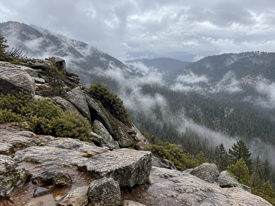 EasyBuena Vista Peak Trail2 mi · 1.5 hr · 1.8 mi awayA short climb to a granite dome above Redwood Canyon.
 ModerateHart Tree and Fallen Goliath Loop7.3 mi · 4.5 hr · 2.5 mi awayA 7.3-mile sequoia loop to Hart Tree and Fallen Goliath.
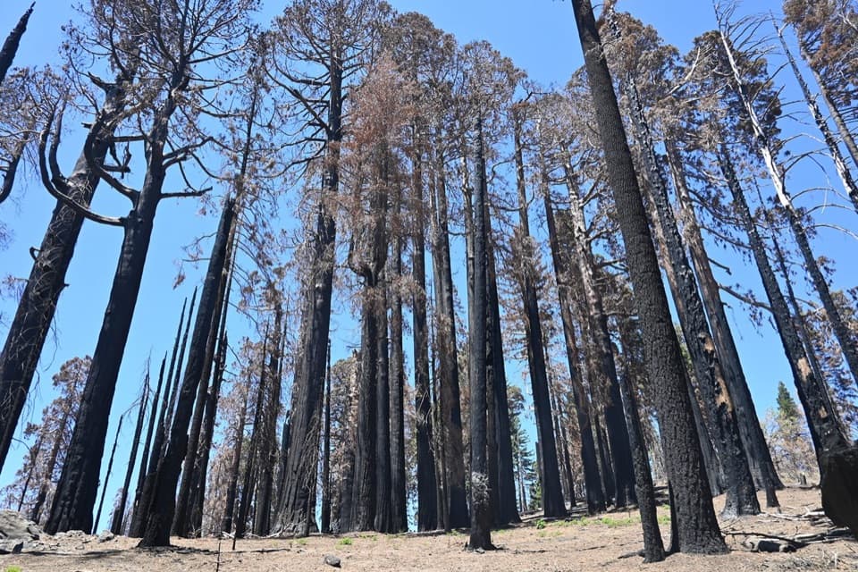 ModerateSugar Bowl Loop6.5 mi · 4 hr · 2.5 mi awayA sequoia loop with a ridge climb and a long descentModerateRedwood Mountain Loop10 mi · 7 hr · 2.5 mi awayTen miles of sequoias, old logging history, and ridge-top views.
 ModerateRedwood Canyon to Big Springs Trail11.3 mi · 6.5 hr · 2.5 mi awayAn 11.3-mile out-and-back from Redwood Saddle to Big Springs.
 EasyBig Stump Loop Trail1.6 mi · 1 hr · 5.4 mi awayA short loop through logged sequoias to the Mark Twain stump.
 ModeratePark Ridge Trail to Park Ridge Fire Lookout5.2 mi · 3.5 hr · 5.4 mi awayWalk the ridge to a historic fire lookout and wide Sierra views.EasyPanoramic Point Trail0.5 mi · 24 min · 5.4 mi awayA paved half-mile loop over Hume Lake and the High Sierra.
 Sight · 1.8 mi awayKings Canyon OverlookA quick roadside view of wooded ridges and distant peaks.
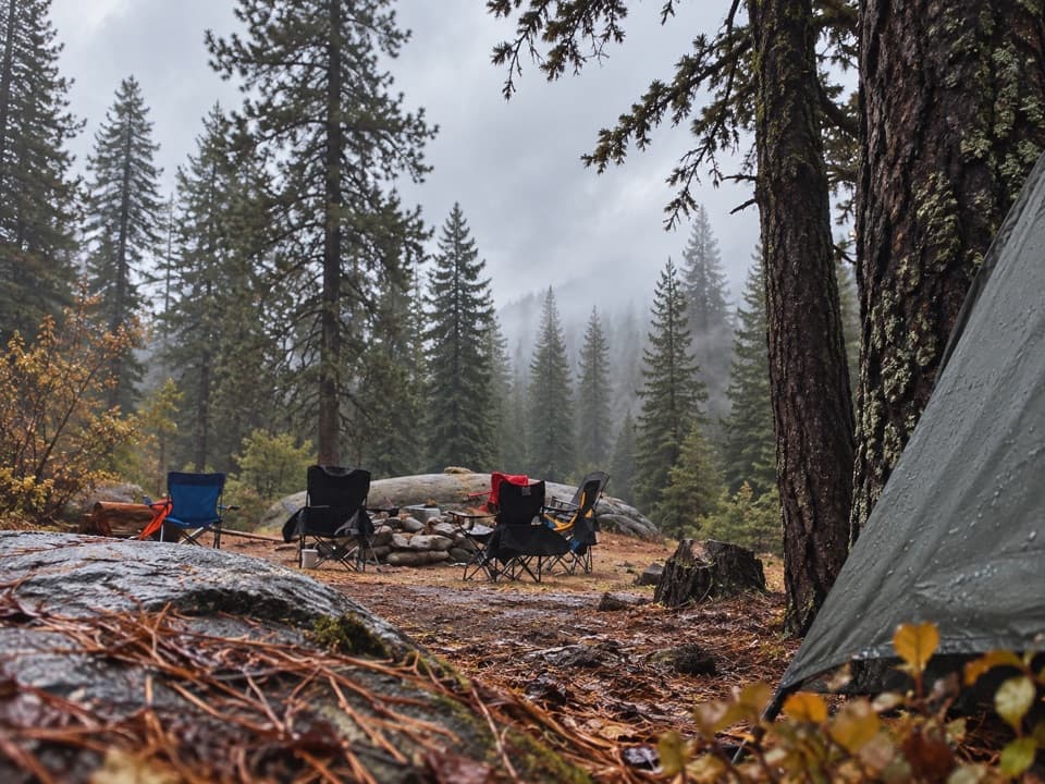 Campground · 2.3 mi awayBuck Rock CampgroundCamp high above Grant Grove, near trails and Big Meadow Creek.
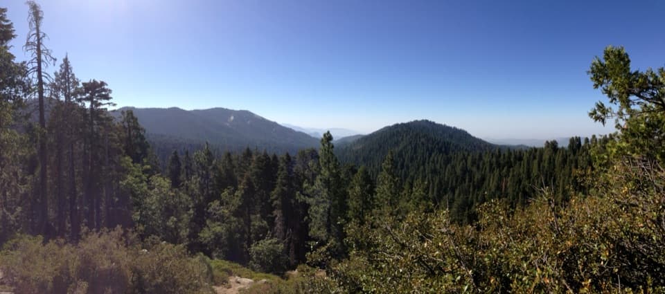 Sight · 2.6 mi awayRedwood Mountain OverlookA quick canopy view into one of the world's largest sequoia groves
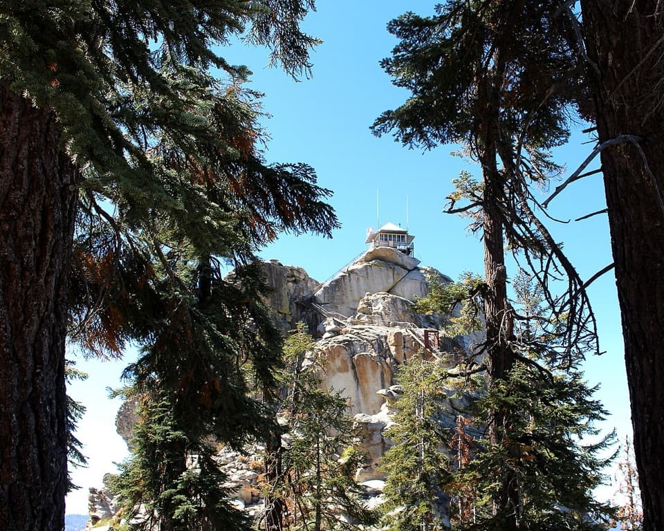 Sight · 2.9 mi awayBuck Rock LookoutA working fire lookout and 172 exposed steps above the Sierra.
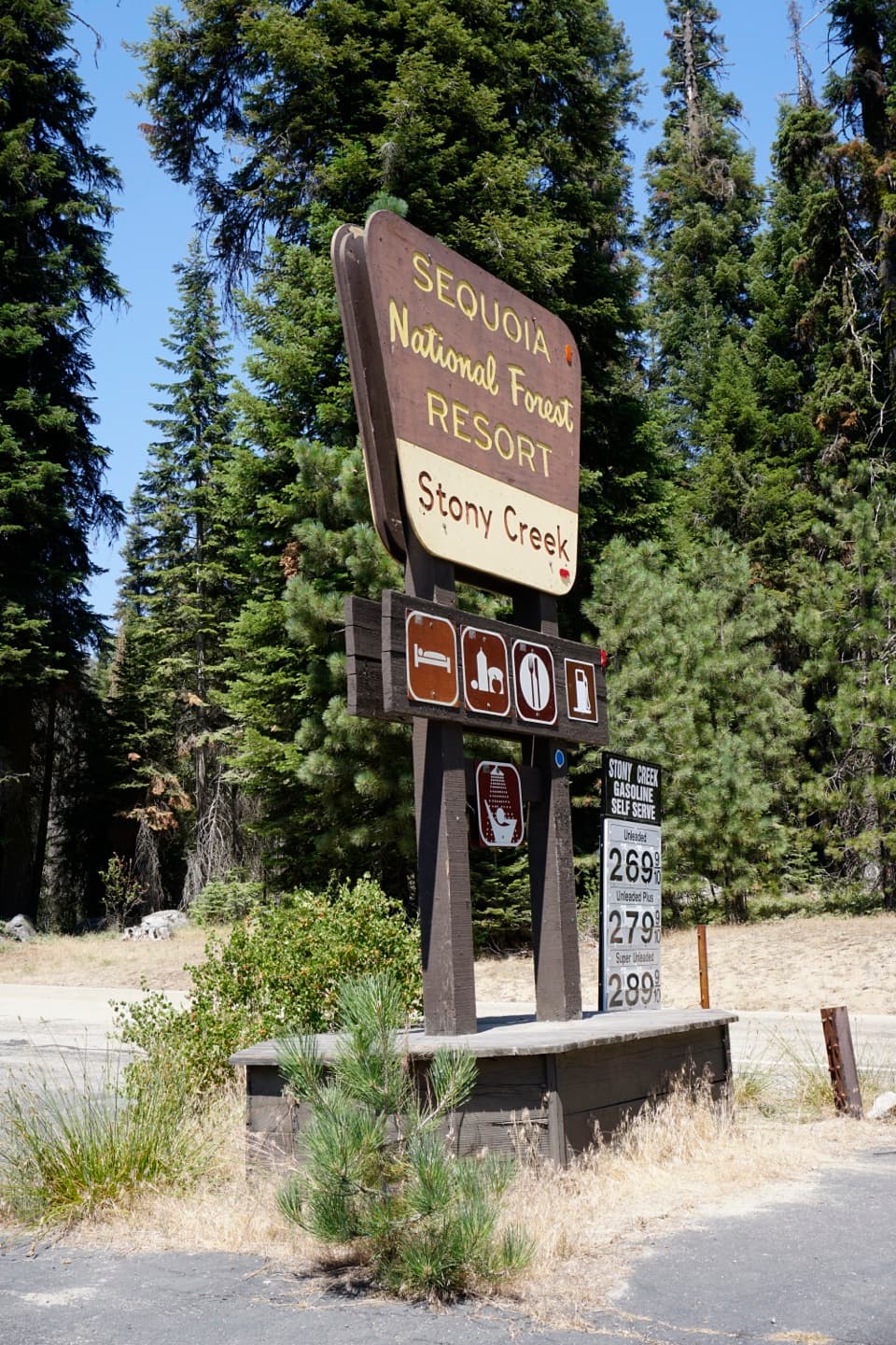 Lodging · 3.1 mi awayStony Creek Lodge and VillageA seasonal lodging, pizza and fuel stop along the Generals Highway.
 Campground · 3.5 mi awayBig Meadow CampgroundHigh-country camping by a meadow creek; bring drinking water.
 Campground · 4 mi awayTen Mile CampgroundA small creekside campground under sequoias and Jeffrey pines.
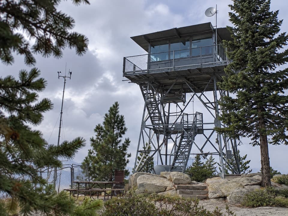 Sight · 4.1 mi awayPark Ridge LookoutA working fire lookout with roots reaching back to 1916.
Parkwolf’s Kings Canyon ranking

The audio tour guide for the drive, plus offline maps, trails, and wildlife heatmaps for when the signal drops.



