
Place · 0.1 mi away
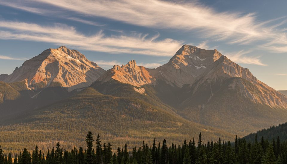
Sinclair Pass is the high point of the Highway 93S drive, a quick, rewarding summit stop that strings together easy roadside sights. If you’re cruising between Radium Hot Springs and the park’s interior, this is the natural pause: stretch the legs, snack at a picnic table, and soak up big-valley scenery without committing to a long hike.
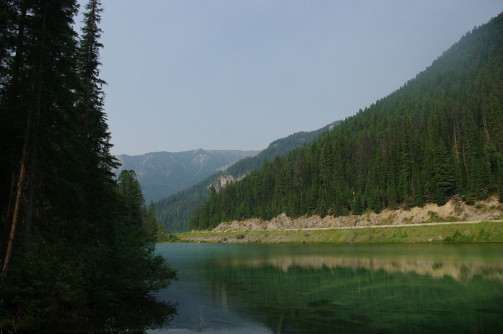
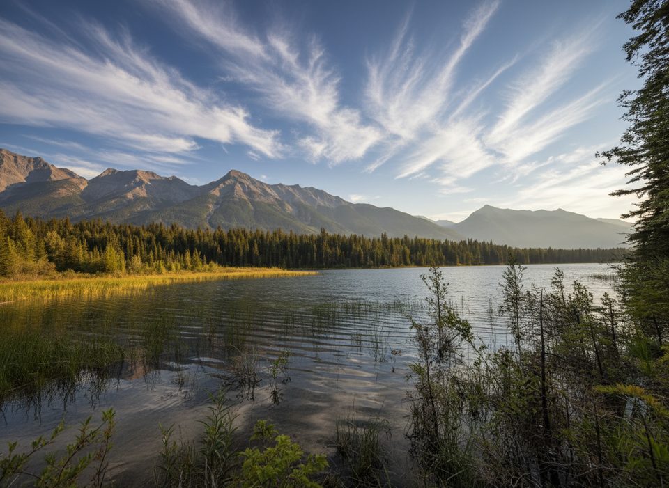
The Olive Lake day‑use area sits right at the pass. It’s a mellow 0.5 km boardwalk loop with no elevation gain—just an emerald lake, a few interpretive vibes, and the chance to spot brook trout gliding near the surface. Facilities here are simple but convenient: picnic tables and pit toilets.
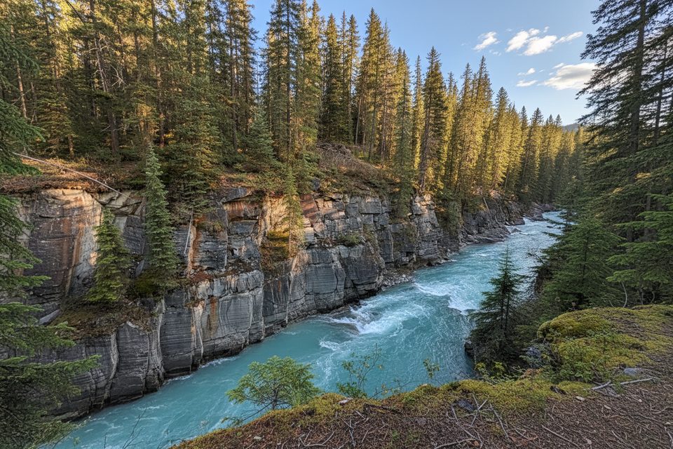
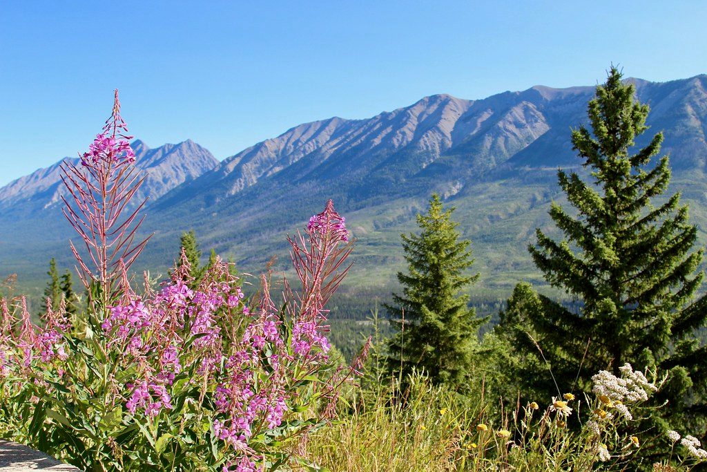
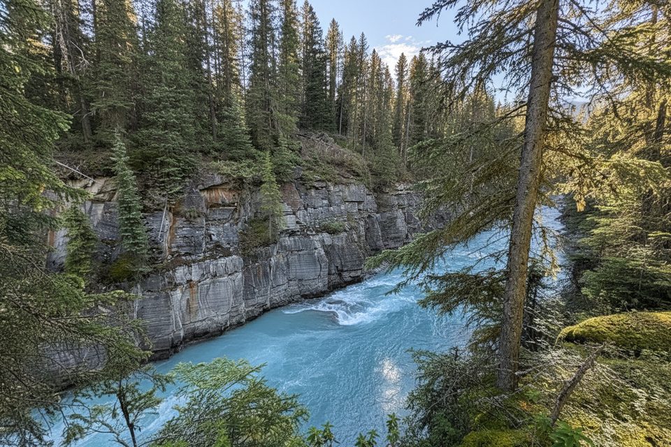
A few minutes on either side of the pass nets you easy wins: the Kootenay Valley Viewpoint pullout for sweeping river‑valley views, plus other short, family‑friendly stops along Highway 93S like Paint Pots and Marble Canyon. If you want a leg‑stretcher beyond the boardwalk, Cobb Lake and Dog Lake are straightforward day hikes along the corridor.
Inside the park there’s no cell or Wi‑Fi service, no fuel, no food services, and no public transit. Four emergency phones sit along Highway 93S, and the closest full services are in the Village of Radium Hot Springs just outside the southwest gate. The Radium Visitor Centre is your staffed hub in season.
Day‑use areas and restrooms generally run May to mid‑October, with some access in winter but snow clearing isn’t guaranteed right after a storm. For easier parking and a quieter boardwalk, swing by early or late in the day. Pair the stop with a leisurely scenic drive when you’ve got time for the pullouts.
You may see brook trout in Olive Lake. If you branch onto nearby hikes, know that some routes in this corridor have bear considerations—for example, the Kindersley–Sinclair Loop requires a minimum group size of four due to grizzly activity. Always check current trail reports and bulletins before you go.
A valid park pass is required to stop anywhere in the park. Highway conditions can change fast; check official road and park bulletins before setting out.
Place · 0.1 mi away
Place · 1.8 mi away
Place · 2.1 mi away
Place · 2.1 mi away
Easy · 1.8 mi away
Moderate · 2.3 mi away
Easy · 6.4 mi away
Easy · 6.9 mi away

Parkwolf Tour Guide
