
Place · 0 mi away
Easy
Two short, easy loops right on the Continental Divide offer a fast, educational wander through a forest rebounding from the 1968 Vermilion Pass wildfire. Do both loops for a combined 1.2 km/0.75 mi; figure about 30 minutes total if you pause at the signs.
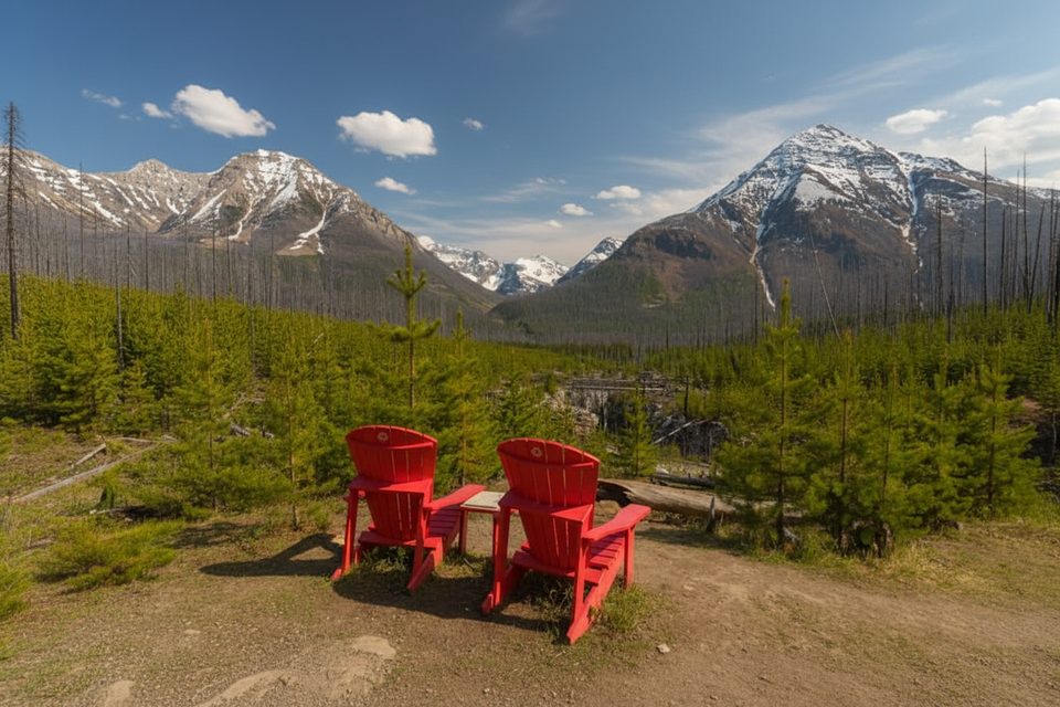
This is a living classroom for post‑fire ecology: lodgepole pine coming back, old snags still standing, and (in summer) splashes of purple fireweed. Views are minimal—this is about the story in the trees, not big vistas—so it’s a perfect leg‑stretcher when you’re road‑tripping over the pass.
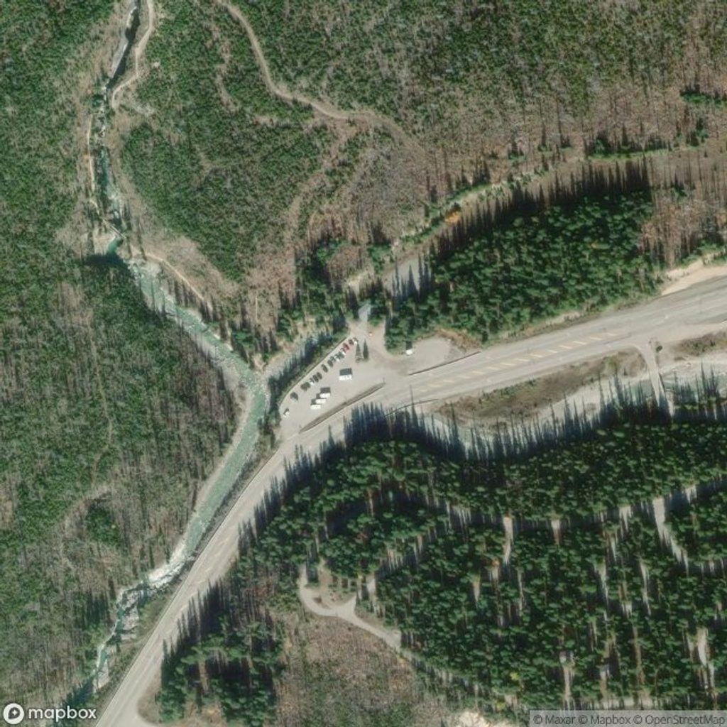
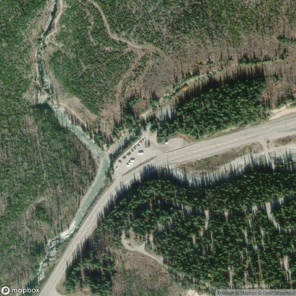
Start from the Continental Divide day‑use/parking area on Hwy 93, about 96 km north of Radium Hot Springs. The lot is signed, and there are toilets at/near the trailhead.
July–August is peak for wildflowers and the most vibrant fireweed. Typical season runs from early spring to early winter, weather permitting. On November 21, 2025, expect snow or ice at this elevation—bring microspikes if conditions are slick and check current trail and road advisories before you go.
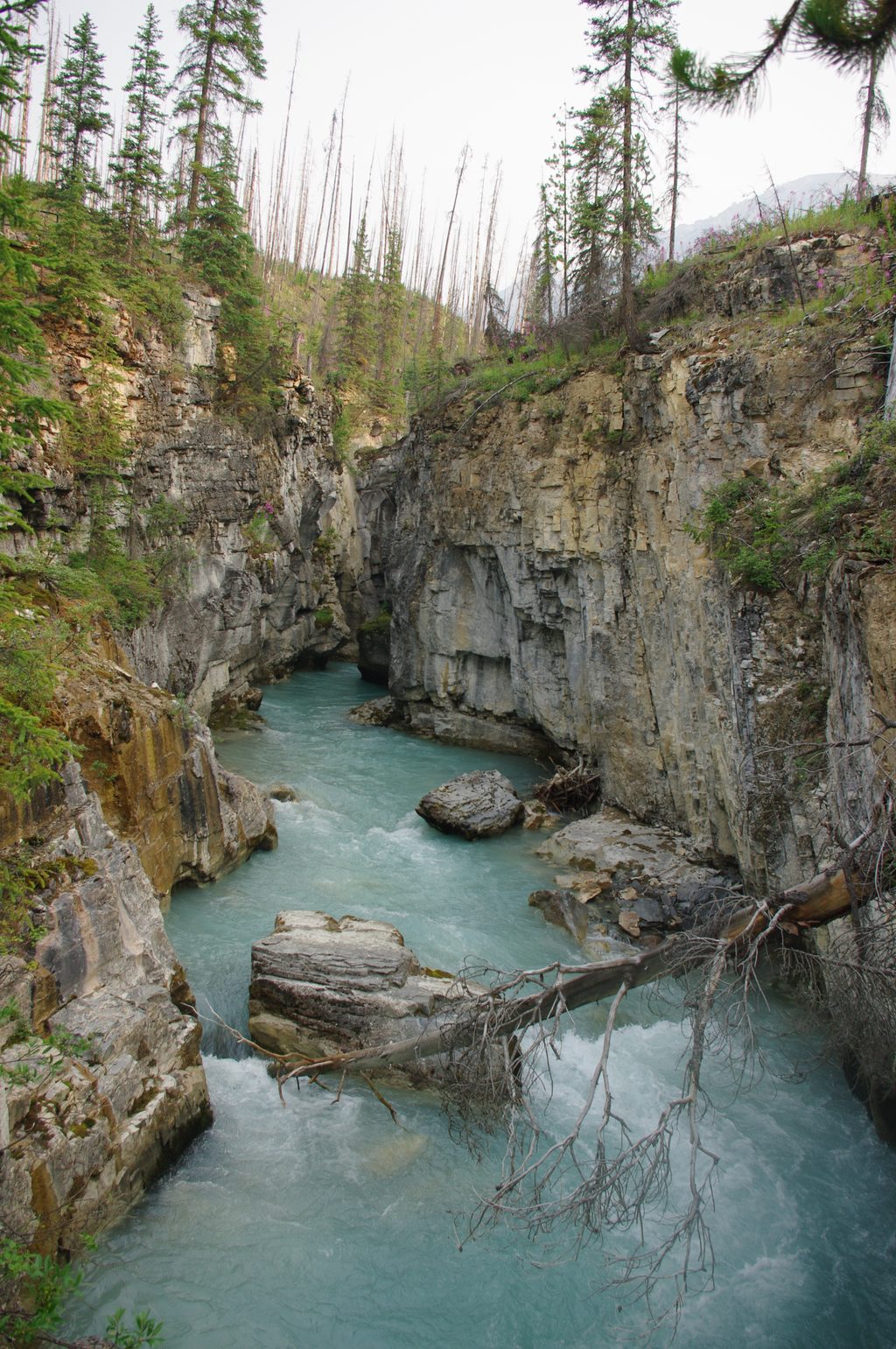
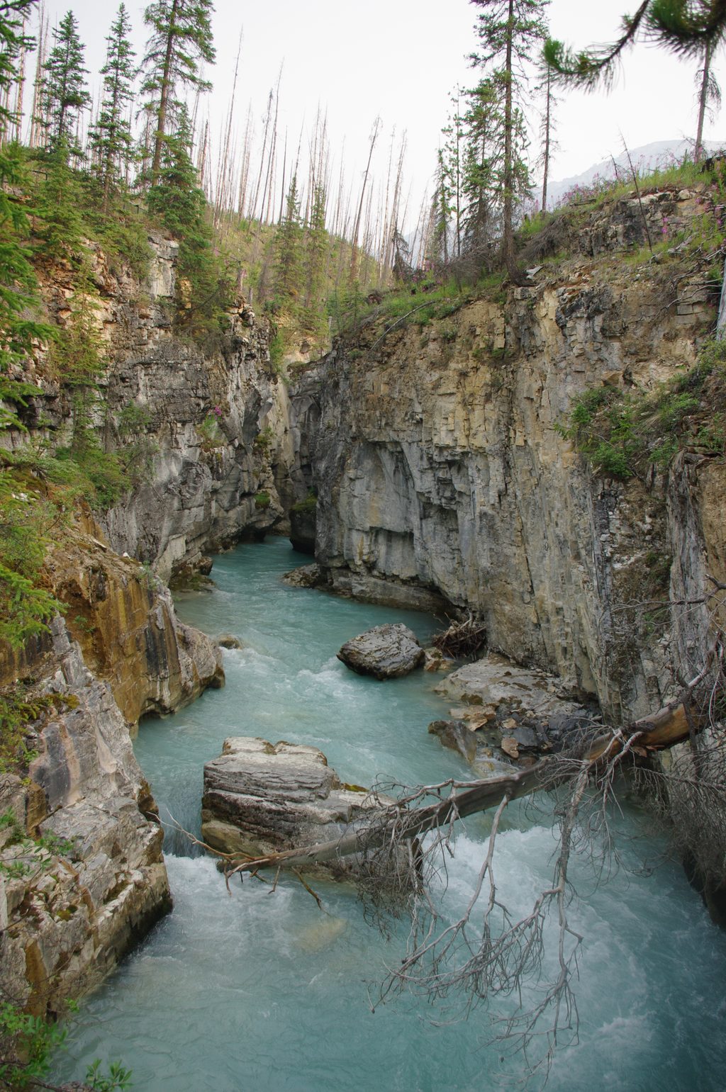
Families, new hikers, and anyone wanting a short, meaningful stop will be happy here. If you’re chasing big mountain views or a long workout, this one’s too brief—consider nearby Marble Canyon or the Paint Pots for another quick, scenic add‑on.
Dogs are allowed on leash. You’ll need a valid Parks Canada entry pass for Kootenay National Park.
Park at the signed Continental Divide day‑use/parking area on Hwy 93 (about 96 km north of Radium Hot Springs); toilets at/near the lot.
In shoulder season and winter, expect snow or ice—packed surfaces and roots can be slick; carry microspikes when conditions warrant and keep dogs leashed.
Place · 0 mi away
Place · 0 mi away
Place · 0 mi away
Place · 0.2 mi away
Easy · 0 mi away

Easy · 0 mi away

Moderate · 1.9 mi away
Challenging · 1.9 mi away

Parkwolf Tour Guide
