
Place · 0 mi away
Moderate
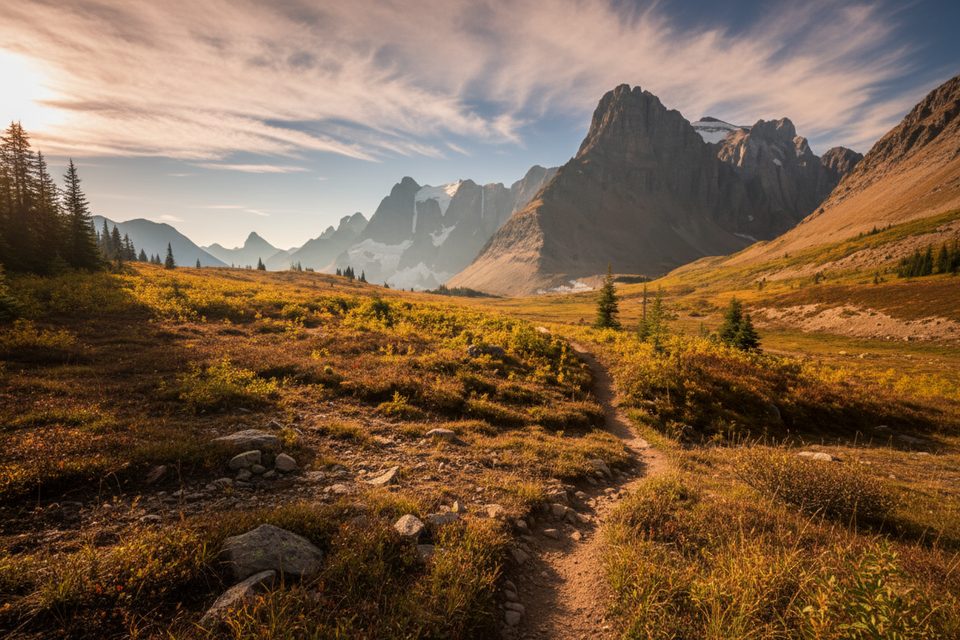
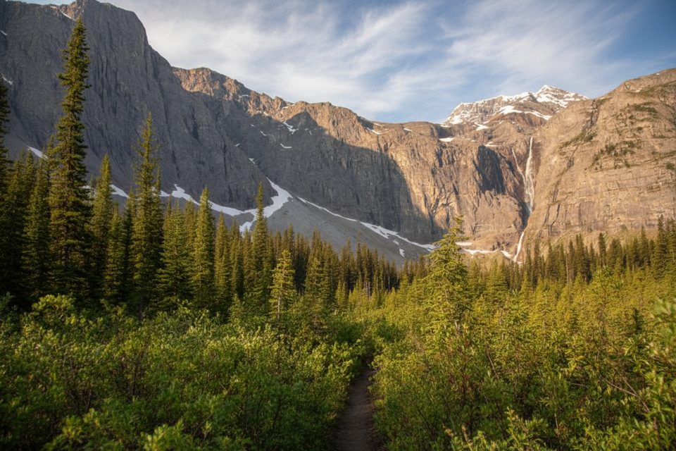
This is the high, photogenic heart of the Rockwall: a one‑way traverse from Helmet Falls Campground to Tumbling Creek Campground that threads meadows under sheer limestone cliffs and tops out at Rockwall Pass. It’s about 8.1 miles one way with roughly 2,360 feet of cumulative gain and 1,900 feet of loss, typically taking 5–6 hours. Expect classic Rockies drama: an amphitheater around thundering Helmet Falls, open alpine benches, and long switchback descents.
From the Helmet Falls area, climb steadily toward Limestone Peak, breaking into big meadows dotted with wildflowers and larches in season. Continue through rolling alpine terrain toward Rockwall Pass (about 7,316 feet), with frequent glacier views and the Rockwall’s limestone ramparts dominating the skyline. A short detour to Wolverine Pass can bump the vistas even higher. The descent to Tumbling Creek is steep in places, dropping about 1,000 feet over ~1.5 miles via switchbacks to the forested valley and the Tumbling Creek campground.
Plan for summer and early fall. July and August are prime, with lingering snow possible into late June; September is usually drier but colder with a higher chance of snowfall. Snow can occur any month at higher elevations. For photos, the Helmet Falls viewpoint often shines at golden hour. Shoulder seasons bring early/late snow and cold, swift creek crossings—save this section for true summer conditions unless you’re equipped and trained.
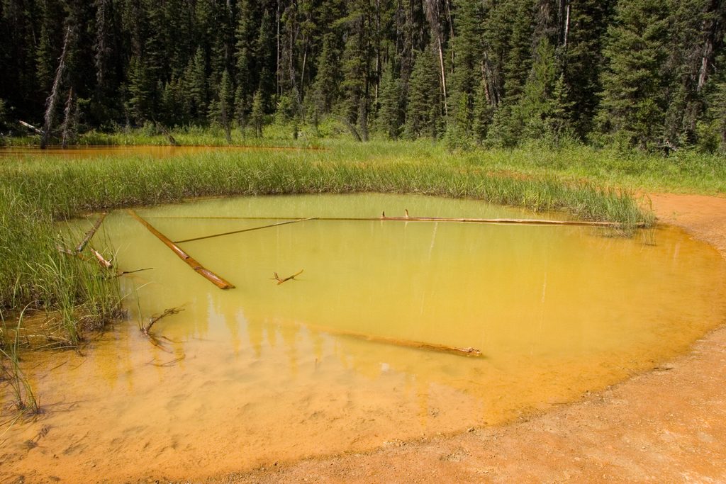
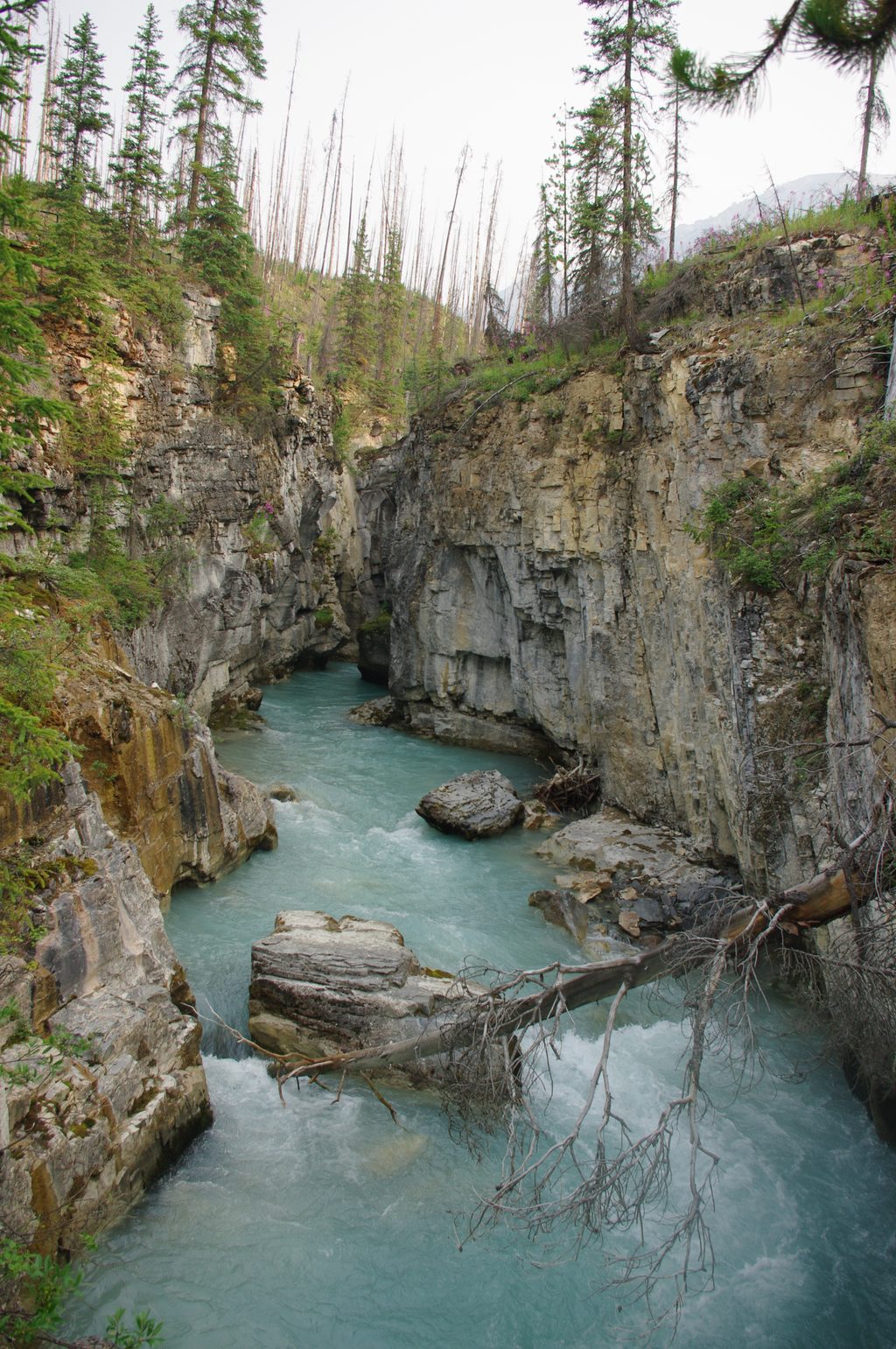
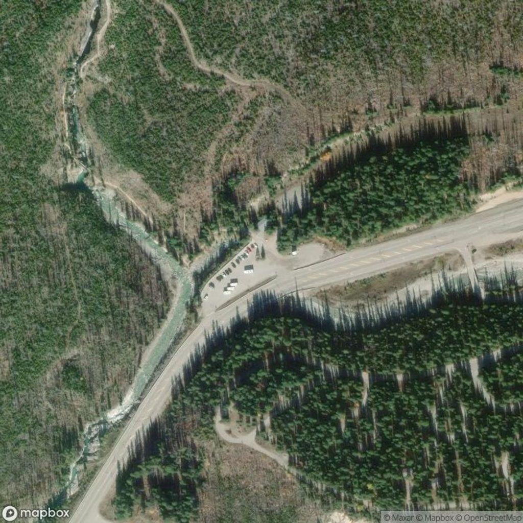
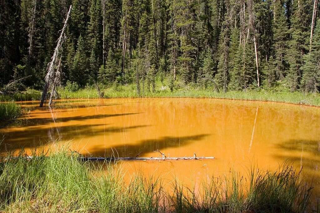
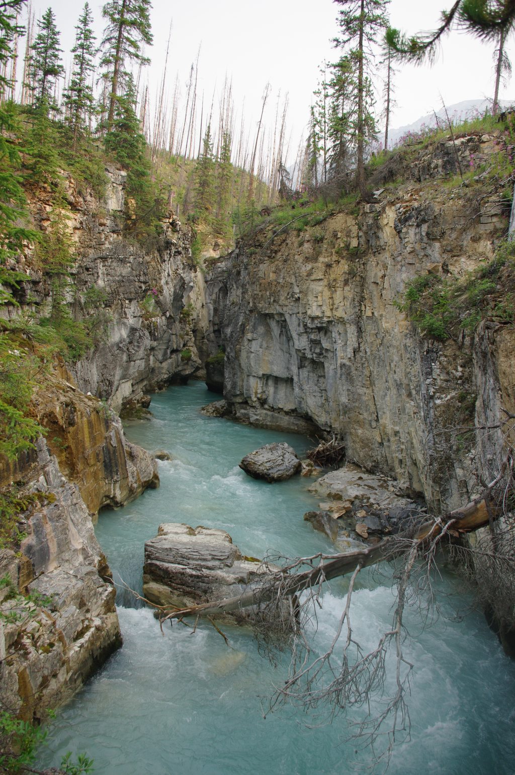
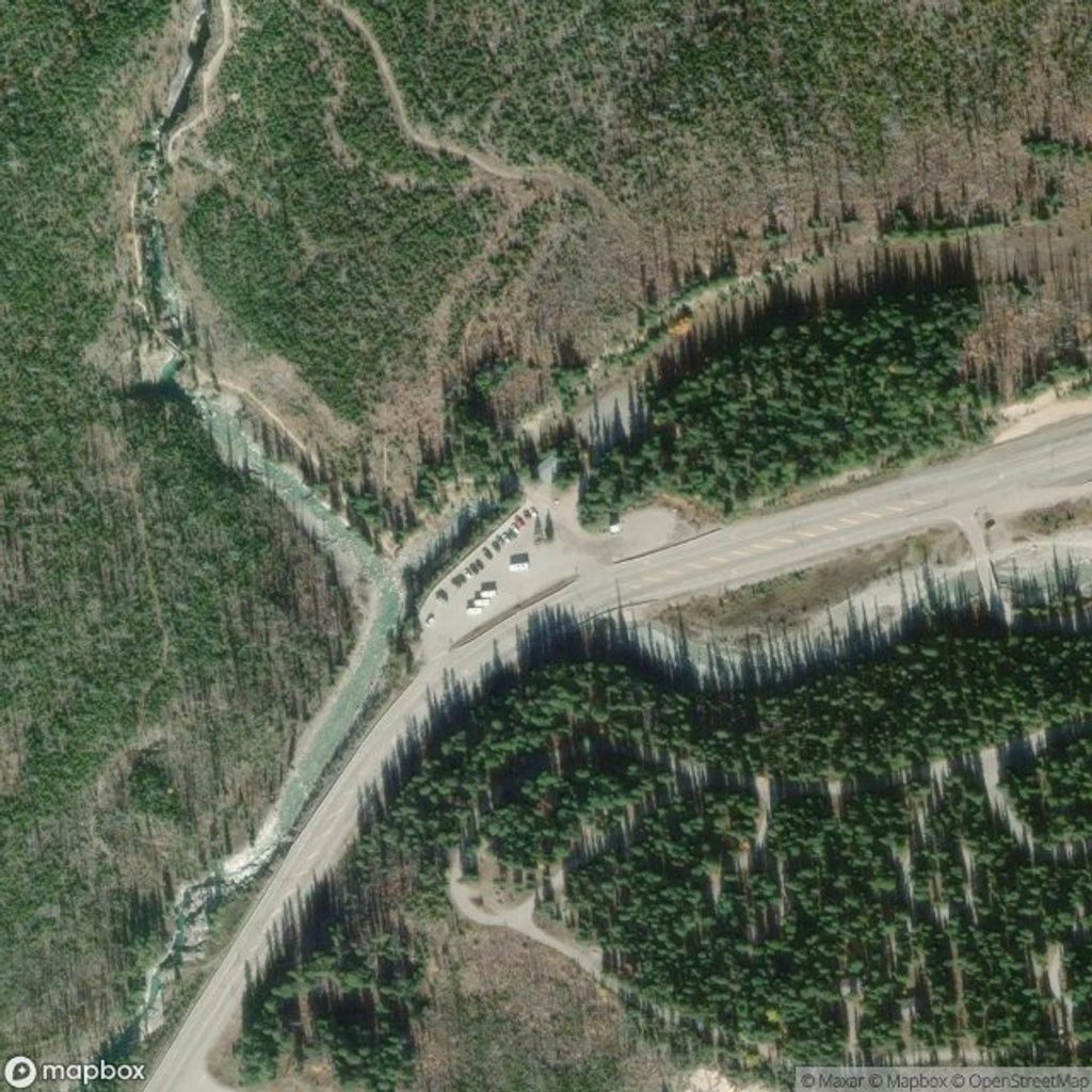
Most hikers link this section within a larger Rockwall itinerary. Trail access in the northern Rockwall is from Painted Pots or Marble Canyon trailheads on Highway 93 South. If you’re doing a point‑to‑point, there’s no dedicated shuttle; people commonly arrange a two‑car shuttle, stash a bike, or hitch along the highway. Painted Pots generally has more parking than other area trailheads. Camps along or near this section include Helmet Falls and Tumbling Creek; both provide tent pads, food storage, and outhouses, with water from adjacent creeks (treat before drinking).
This is bear country with unreliable cell coverage. Carry bear spray and know how to use it; give 100 m to bears/carnivores and 30 m to elk/deer. A backcountry permit and park pass are required, and camping is only at designated backcountry campgrounds—reservations in peak season are competitive. Campfires aren’t permitted; use a stove. Pets must be leashed at all times. Treat all water. In late fall/winter, expect snow/ice and avalanche hazard on and above the passes.
Access via Painted Pots or Marble Canyon trailheads on Highway 93 South; no dedicated shuttle—use a two‑car shuttle, bike stash, or hitch if linking sections. Painted Pots typically has more room.
Steep grades and long switchbacks; exposure to wind/sun above treeline; lingering snow and avalanche hazard outside midsummer; unreliable cell coverage; strict food storage and wildlife distance rules.
Place · 0 mi away
Place · 1.9 mi away
Place · 1.9 mi away
Place · 1.9 mi away
Challenging · 0 mi away
Easy · 0 mi away
Easy · 1.9 mi away
Easy · 1.9 mi away

Parkwolf Tour Guide
