Parking
Marble Canyon Day-use Area off Highway 93 South, about 89 km north of Radium Hot Springs. The park map marks parking, toilets and a picnic area; visitors report the modest lot can fill at busy times.

#4 of 38 trails in Kootenay
Kootenay National Park, BC
An easy bridge walk over a startlingly deep, turquoise canyon.
Overview
Map & elevation
Plan your hike

The highest, rockiest slopes around here are a summer buffet for grizzly bears.
Kootenay Tour Guide
Parkwolf is a GPS audio tour guide for Kootenay National Park. As you drive, it chimes in with what’s ahead: hidden gems, upcoming stops, history, geology, and wildlife, right through your car’s speakers.
See the Kootenay audio tourRecorded for this trailhead
Marble Canyon: Beyond the First Bridge“Marble Canyon is coming up, and I'd stop here for dramatic canyon views without a long hike. Seven bridges cross the narrow limestone gorge carved by Tokumm Creek, with blue-green water far below.”
Plays as you drive up to this trailhead in the Parkwolf Kootenay Tour Guide.
More stories near here in the app
“Fantastic app with many points of information… It’s great to just turn on while you’re driving and it gives you an audio tour of the national Park. We love it!!!!”


Trail guide
Marble Canyon is an easy out-and-back along the rim of the narrow gorge carved by Tokumm Creek. From the Marble Canyon Day-use Area, the listed route is 0.9 km one way; walk to the Red Chairs and retrace the route for about 1.8 km total. Other recorded walks put the return closer to 1.4 km, so use the longer figure if your schedule is tight. Allow 30 to 45 minutes if you stop at the bridges and signs. It is one of the best choices when you want dramatic canyon scenery without giving half a day to a hike. The short distance looks gentle on paper, but the path has stairs, short climbs and steep drops below the rails.
The trail leaves the parking area on hard-packed dirt and rock, then climbs and dips as it follows the rim. One stair section has about 44 rough stone steps and a handrail. Take your time on it, especially when the tread is wet or icy. Several wooden bridges cross the canyon at different angles, so the view changes from one crossing to the next: sometimes the creek is a bright blue ribbon far below, and sometimes the walls squeeze it into whitewater. The route is close to the edge, but the railings and marked viewpoints keep the walk straightforward. Keep children close at the bridges and leave room for others to pass.
The cascades and waterfall near the far end are the payoff; the Red Chairs mark a good place to stop before turning back. A couple of natural rock bridges sit above the creek, distinct from the wooden footbridges you walk across. On the return, they stand out against the water and are easier to pick out from above. For a photo that shows how deep the gorge is, stop at a bridge viewpoint and angle down so the water sits between both pale rock walls.
The canyon walls are carbonate rock in the Cathedral Formation, laid down more than 500 million years ago. Glaciers first shaped the cut, and Tokumm Creek has eroded it deeper. Interpretive signs explain the geology along the walk, so it is worth reading a few instead of treating the bridges as a quick photo line. Notice how the fractured, pale layers tighten into a slot above the creek. The name Marble Canyon comes from these carbonate rocks; the cliffs are not a polished block of marble.
Park at Marble Canyon Day-use Area off Highway 93 South, about 89 km north of Radium Hot Springs. Toilets and a picnic area are marked at the lot. Food and drinking-water service on the walk was not found, so plan for that before the drive. The parking area is modest and can fill at busy times, making an earlier stop easier. Dogs are allowed on leash. Snow and ice can linger on bridges and steps in spring; check current trail conditions, bring traction if needed, and stay behind the railings.
Wildlife
 41 sightingsGrizzly BearMost seen around 8 PMSighting map
 31 sightingsGray WolfMost seen around 8 PMSighting map
 22 sightingsMooseMost seen around 6 AMSighting map
 84 sightingsMountain GoatMost seen around 7 PMSighting map
 522 sightingsBighorn SheepMost seen around 7 AMSighting map
 65 sightingsElkMost seen around 6 AMSighting map
Sighting maps show where each species has been reported across Kootenay. Wildlife moves, so no sighting is guaranteed.
Keep exploring
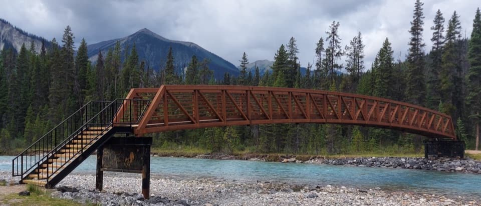 EasyVermilion River Trail2.9 km · 2 hr · At the trailheadA forest connector between Marble Canyon and the Paint Pots.
 ModerateTokumm Creek Trail8.6 km · 3.5 hr · At the trailheadA creekside wilderness route with no trail maintenance.
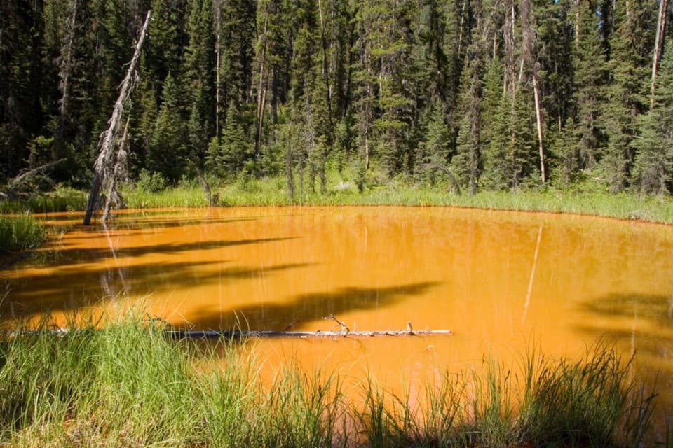 EasyPaint Pots Trail2 km · 45 min · 2.5 km awayCross the Vermilion River to three iron-rich springs.
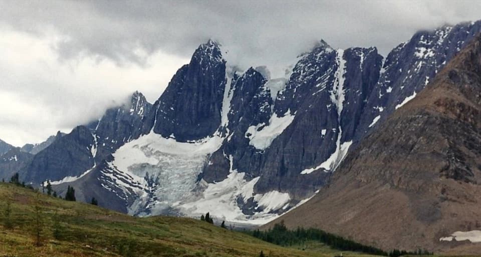 ChallengingTumbling-Floe Traverse37.7 km · 2.5 days · 2.5 km awayA two-to-three-day traverse from Paint Pots to Floe Lake.
 ChallengingHelmet Creek Trail28.4 km · 10 hr · 2.5 km awayA long hike from ochre springs to a 300 m waterfall.
 ChallengingTumbling Creek Trail20.4 km · 6 hr · 2.5 km awayA hard climb to Tumbling Falls and a gateway to the Rockwall.
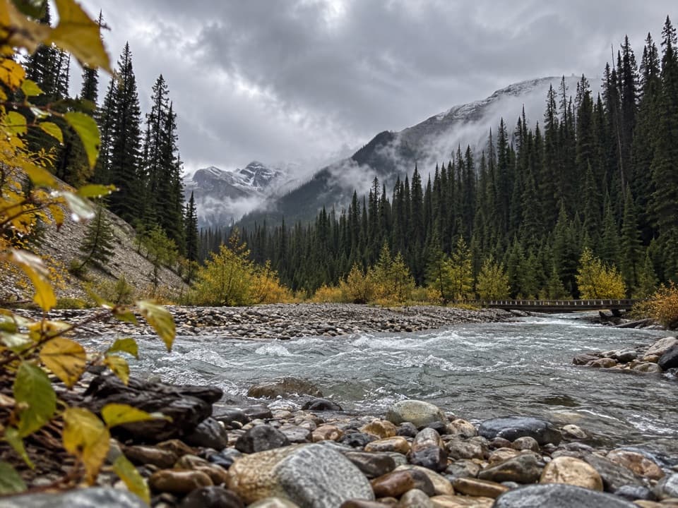 ModerateOchre Creek Trail12.4 km · 4 hr · 2.5 km awayA forested creek walk to the northern Rockwall campground.
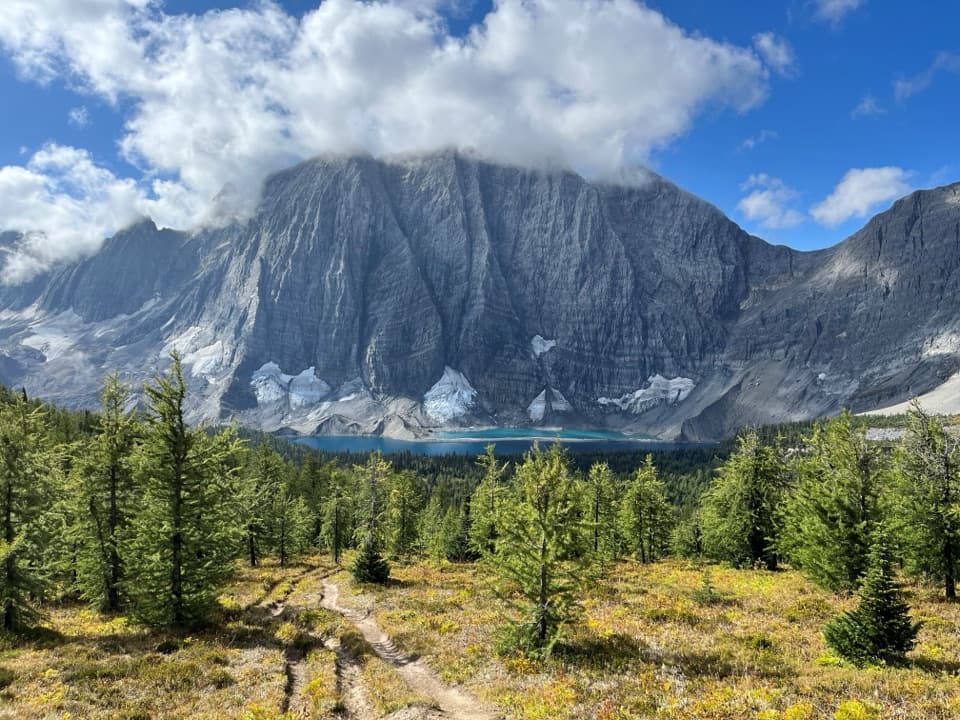 ChallengingRockwall Trail54.1 km · 4 days · 2.5 km awayThree passes, the Rockwall, and Floe Lake anchor an alpine traverse.
 Sight · At the trailheadMarble CanyonSeven bridges, blue water, and a waterfall on a short gorge walk.
 Campground · 0.3 km awayMarble Canyon CampgroundA basic campground in a spruce forest with no cell signal.
 Sight · 3 km awayPaint PotsThree iron-rich springs stain the ground a vivid ochre.
 Sight · 5.7 km awayStanley GlacierWaterfalls and a turquoise crossing lead to a glacier basin.
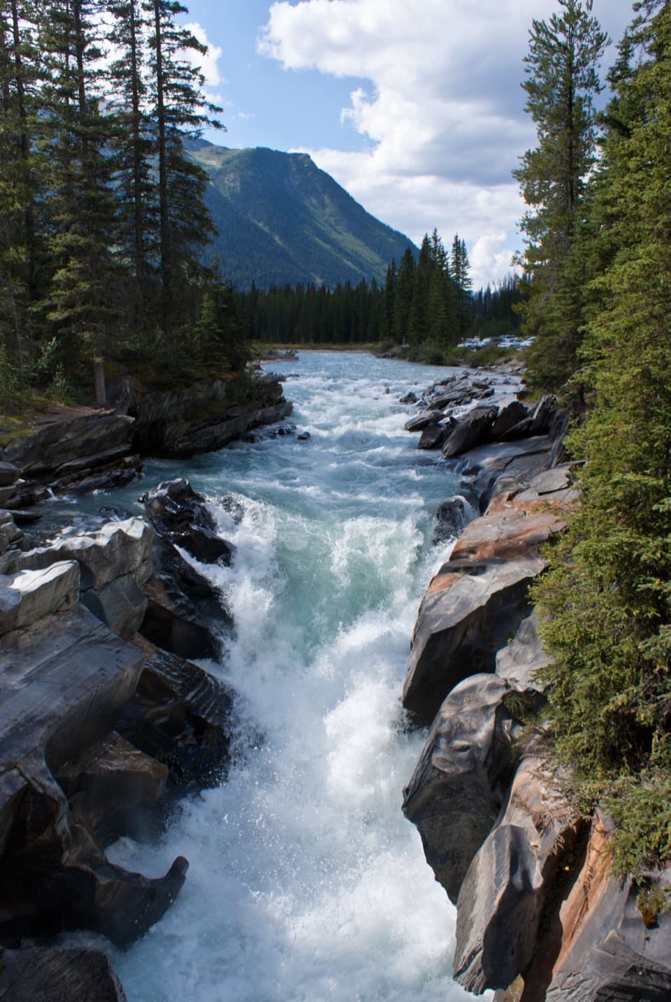 Sight · 6 km awayNuma FallsA short bridge walk reveals the Vermilion's sculpted canyon.
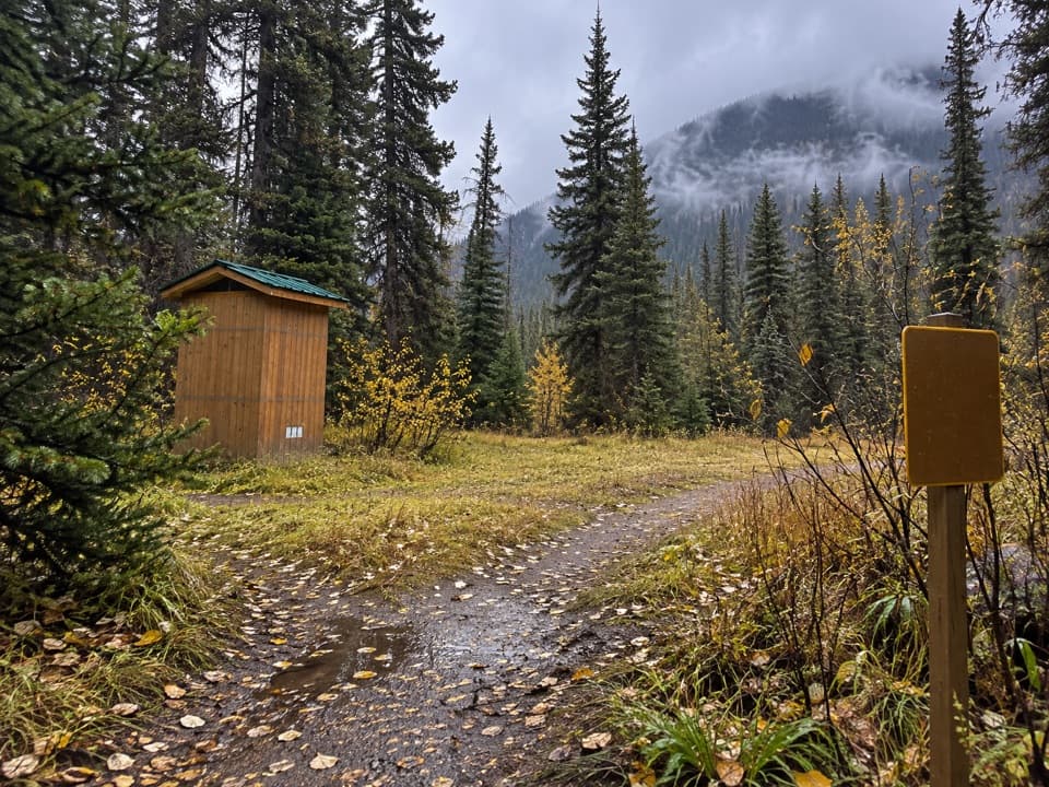 Campground · 6.3 km awayHelmet / Ochre Junction CampgroundA creekside backcountry camp at the Rockwall trail junction.
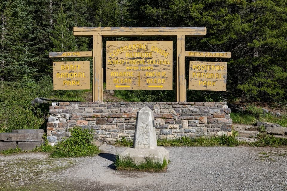 Sight · 6.9 km awayContinental DivideStand on the divide between the Pacific and Atlantic watersheds.
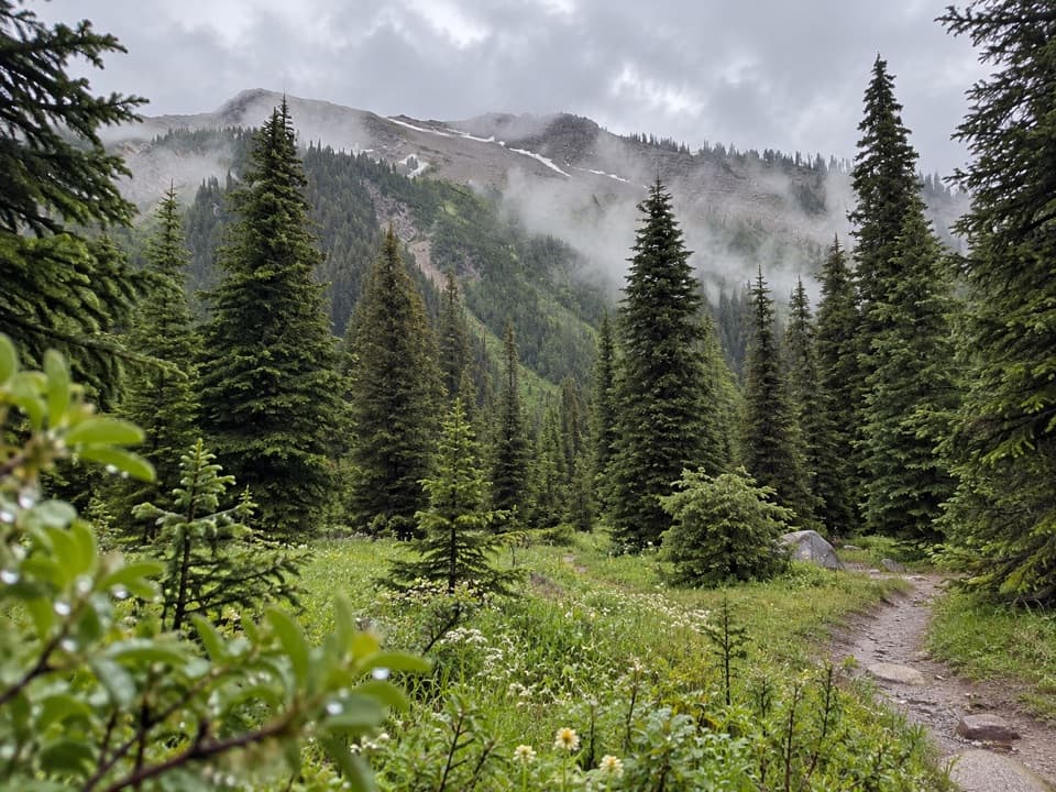 Campground · 9.4 km awayTumbling Creek CampgroundA useful northern camp for a full Rockwall backpacking traverse.
Parkwolf’s Kootenay ranking

The audio tour guide for the drive, plus offline maps, trails, and wildlife heatmaps for when the signal drops.