
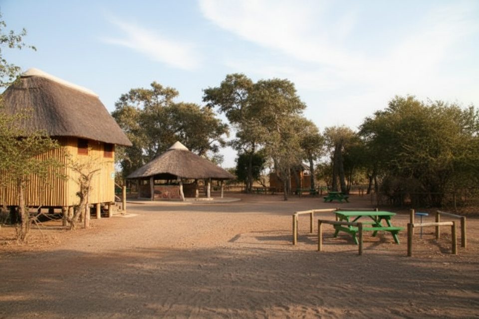
Place · 7.8 mi away
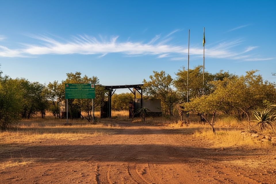
Giriyondo is the low-key, scenic border link between South Africa’s Kruger and Mozambique’s Limpopo National Park, created to let travelers move within the Great Limpopo Transfrontier Park rather than handle commercial traffic. It’s calm, personable, and about the journey: game-viewing on the way in Kruger, wild stretches on the Mozambican side, and a straightforward (if multi-step) process once you arrive.
This post is strictly daytime: 08:00–16:00 in summer (Oct–Mar) and 08:00–15:00 in winter (Apr–Sep). It’s for tourists, not trucks, and you must show proof of at least one overnight booking inside Kruger or Limpopo National Park to use it. Valid passports and vehicle papers are checked, and visas are issued at the gate for eligible nationalities.
From the Kruger side, you’ll approach on good park roads with a final gravel stretch to the post. Across the line in Limpopo National Park, expect corrugations and a slow-going dirt section at first before you reach tar. A high‑clearance vehicle (ideally 4×4) is the sensible choice here. Avoid driving after dark in Mozambique.
The routine is methodical but manageable: exit formalities on the South African side, park checkout, then Mozambique entry—visa issuance (if applicable), customs declaration, payment of Limpopo park fees, and occasional vehicle inspections on both sides. It typically takes around an hour if there’s no queue. Facilities are basic; there are restrooms.
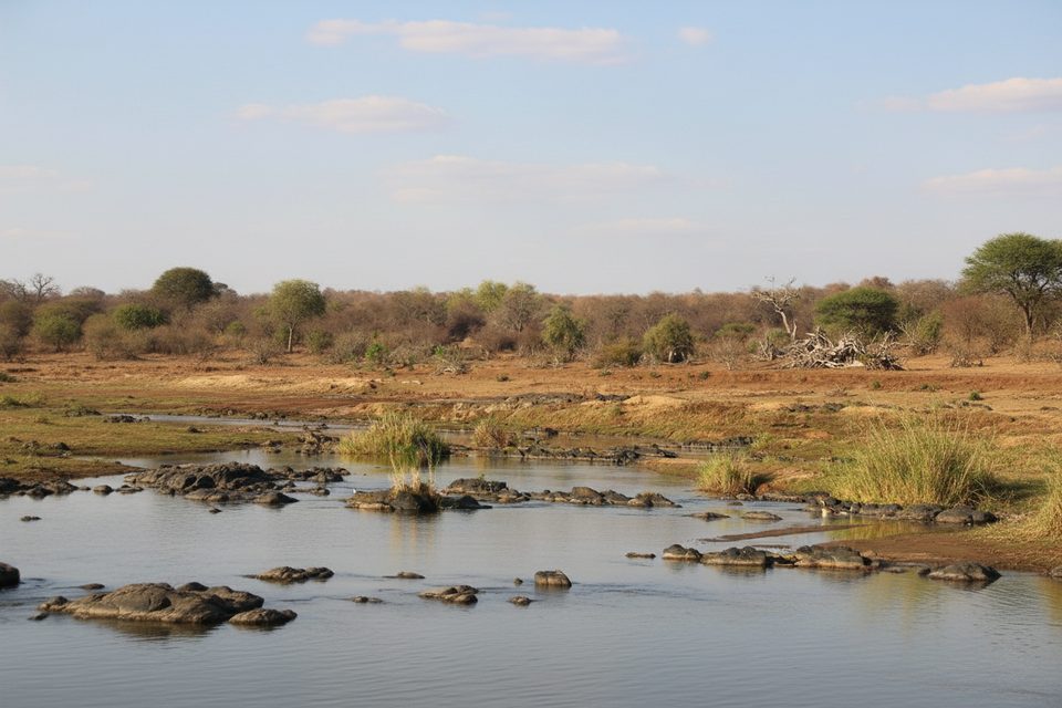
This crossing bakes the safari into your travel day. The Kruger approach can deliver classic sightings, and the first part of Limpopo NP feels raw and lightly trafficked. Game density on the Mozambican side varies—some travelers see general plains game, others much less—so treat that leg as a scenic transit unless you plan extra time to explore.
You’ll pay conservation fees for both parks, and Mozambique’s side may have additional vehicle-related charges. Carry cash for the Mozambican side and top up fuel before you cross; thereafter, plan to refuel in Massingir, Chibuto or Chókwè when available.
Aim for shortly after opening. You’ll have the most daylight buffer for slow gravel, border admin, and reaching your next camp or town before gate closing. Midweek tends to be even quieter. If you want game viewing on the Kruger approach, leave early enough to build in leisurely sightings without putting the border cutoff at risk.
Place · 7.8 mi away
Place · 9.8 mi away
Place · 13.9 mi away
Place · 14 mi away
Moderate · 17.2 mi away
Moderate · 29.6 mi away
Challenging · 29.6 mi away
Easy · 29.6 mi away

Parkwolf Tour Guide
