
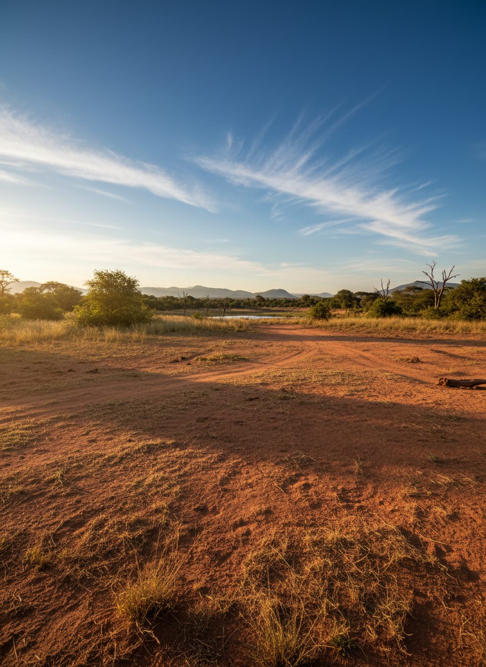
Place · 6.7 mi away
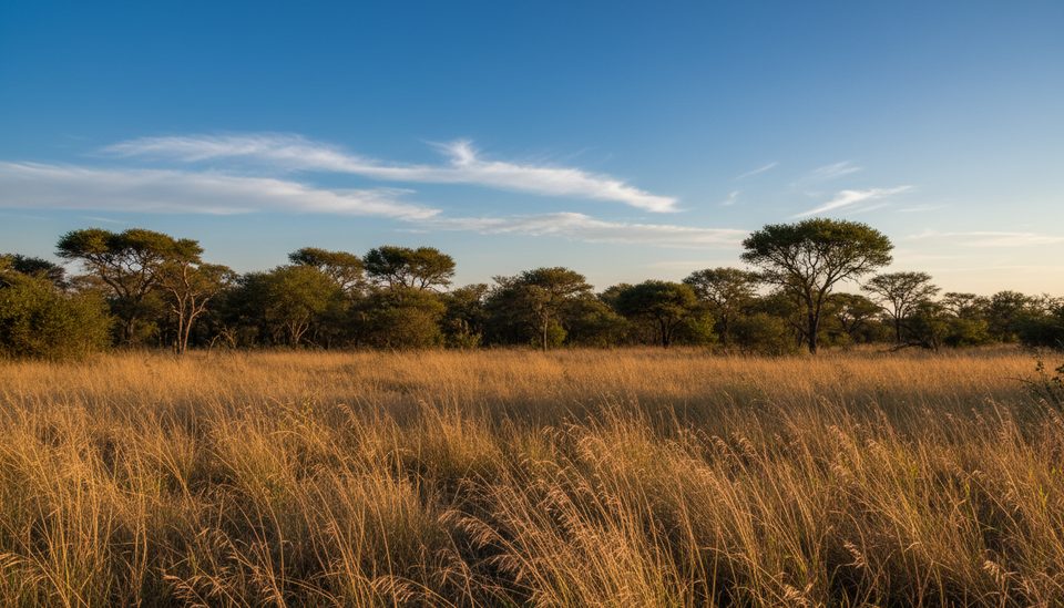
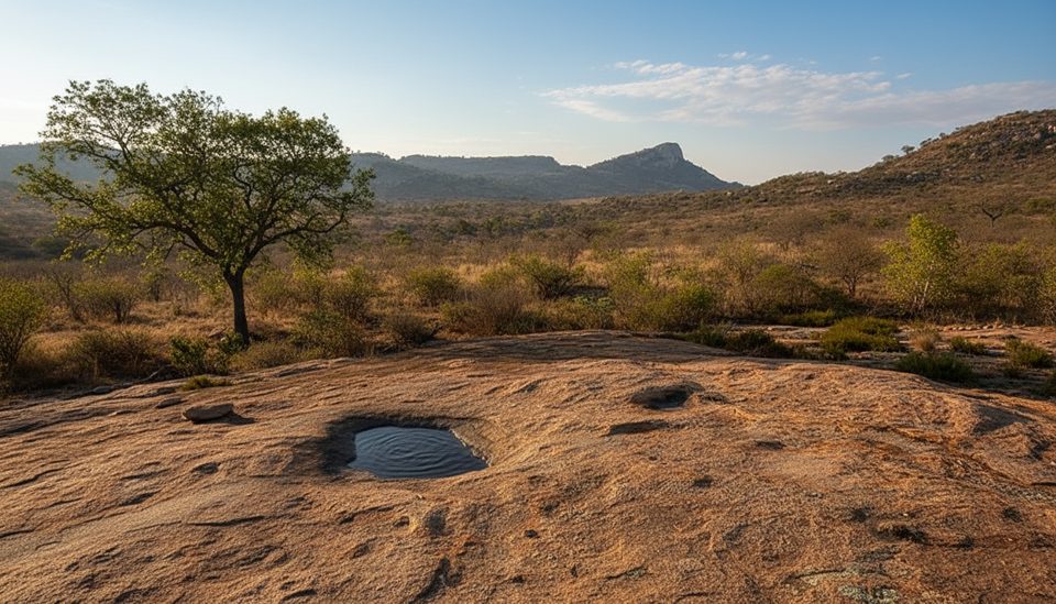
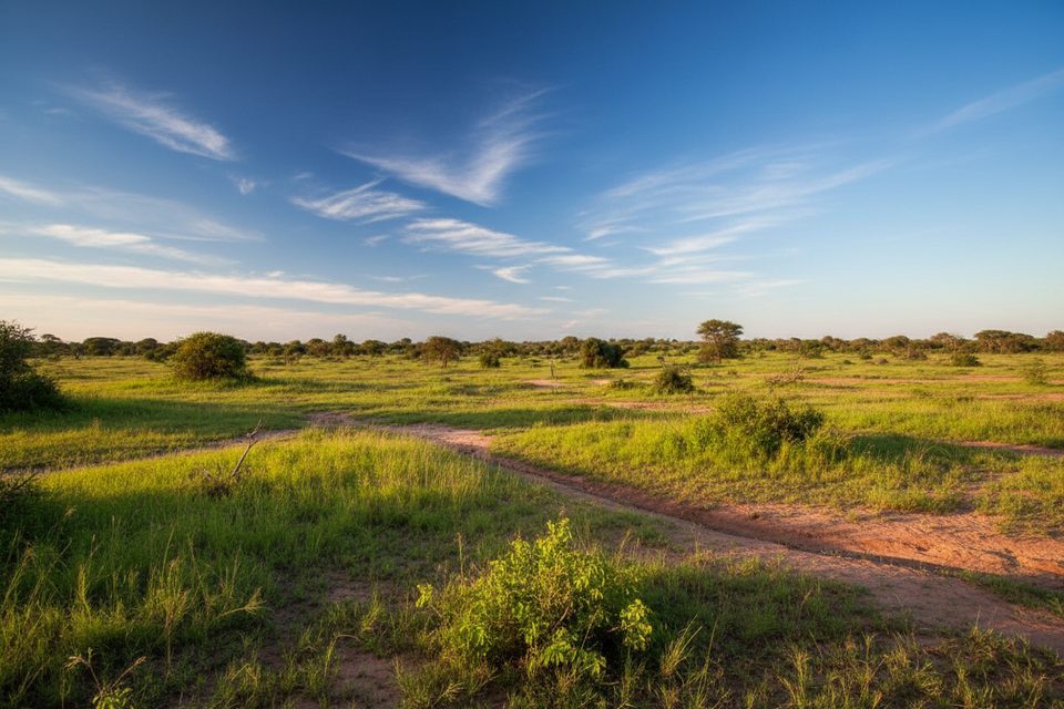
This gravel backroad tracks the N’watimhiri River through thorn thickets on granite, passing landmarks like Siyalu Koppie (341 m), Nhlotini and the N’watimhiri pans. It links the busy Sabie River tar (H4-1) with S114 toward Skukuza, making it a rewarding detour when you want a slower, more deliberate game drive.
Both black and white rhino occur in this area, so keep scanning the riverlines and pans. Birders should watch overhead for African hawk‑eagle. The mix of riverine bush and open pans can produce plains game and predators, with activity best at first light and late afternoon. Hyena are occasionally seen working the riverbed.
Go slow and stop often. Work the thickets and the river edges with binoculars, windows open, and listen for alarm calls. Don’t miss the short N’watimhiri Causeway loop (S79) off the H4‑1—it's a productive slice of riverine habitat. Allow roughly 2–3 hours for an unhurried traverse of S21, not counting time to and from H4‑1. Park speed limits are 40 km/h on gravel and 50 km/h on tar, but you’ll often go slower when you’re finding game.
There are no designated picnic sites or restrooms on S21, and you must remain in your vehicle except at official, signposted alighting points. Plan your breaks at nearby hubs on H4‑1 or in camp: Nkuhlu Picnic Site (on the Sabie River) has a shop and skottel braai hire, while Lower Sabie and Skukuza camps cover full services.
Hit S21 at dawn or the last two hours of light when animals move and temperatures dip. For better visibility and photography, many drivers prefer running westbound from Lower Sabie in the morning (sun behind you), then eastbound late afternoon. Midday can be quiet and harshly lit, so save that time for a proper break on H4‑1 or in camp.
The broader N’watimhiri area also holds ancient rock art depicting hunter‑gatherer life. While not a signed attraction along S21, it hints at a long human‑wildlife story in this landscape.
Place · 6.7 mi away
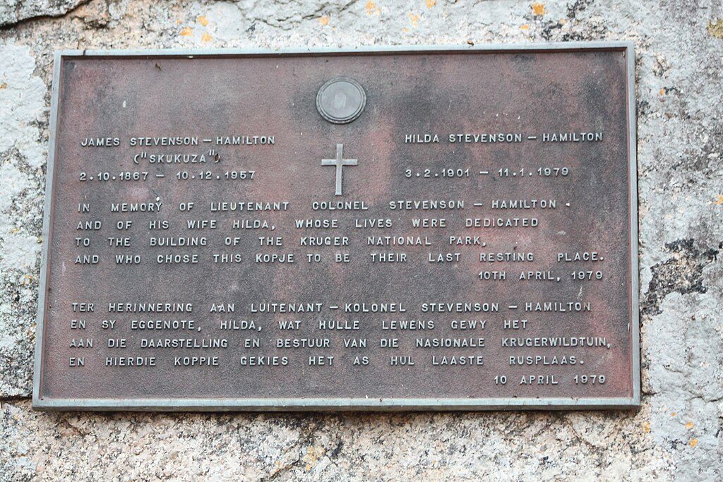
Place · 7.3 mi away
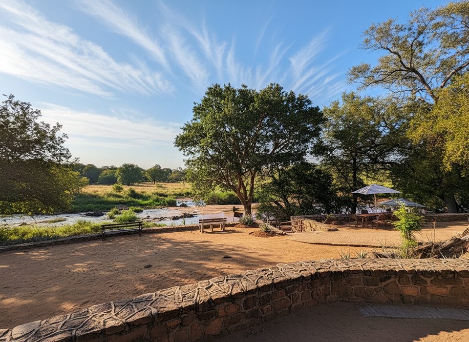
Place · 8.4 mi away
Place · 8.4 mi away
Easy · 12.7 mi away
Moderate · 27.5 mi away
Easy · 28.1 mi away
Moderate · 44.7 mi away

Parkwolf Tour Guide
