N'watindlopfu Waterhole in Kruger National Park

Sight · Kruger National Park

N'watindlopfu Waterhole

Roadside waterhole worth a patient scan on the H1-2

Type
Sight
Audio stories
3 nearby

Hear the audio tour

N'watindlopfu Waterhole: A Productive Roadside Scan

Overview

About N'watindlopfu Waterhole

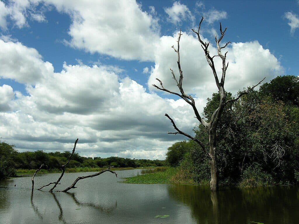
N’watindlopfu is a classic roadside waterhole on the H1-2 between Skukuza and Tshokwane. Think of it as a quick scan-and-go stop in one of southern Kruger’s most consistently productive driving corridors. You’re here to pause, switch off, and let the scene unfold — not to linger for hours unless there’s clear action.

Why stop

  • Handy stop on the Skukuza–Tshokwane route for quick wildlife scans
  • Best action at dawn and dusk with pleasing light for viewing

Heads up

  • No amenities; remain in your vehicle
  • A simple roadside stop, not a destination on its own

Map

Where it is

Loading the Kruger map
Full map
SightN'watindlopfu Waterhole-24.88333, 31.75000
Keep this map with you offline in the Parkwolf app

Local know-how

Tips for visiting N'watindlopfu Waterhole

  1. Hit it in the first two hours after gate opening or the last 90 minutes.

  2. Use it as a quick stop en route to Tshokwane; plan bathrooms at Tshokwane or Skukuza.

  3. Stop, switch off, and scan patiently with binoculars.

  4. Stay flexible and check camp sightings boards before you set out.

Plan your stop

Before you go

Best time to visit

Aim for the first two hours after gate opening and the last 90 minutes before gate closing. That’s when animals are most active around water and when the light is most forgiving for viewing and photography. Midday heat tends to quiet things down.

Facilities and rules

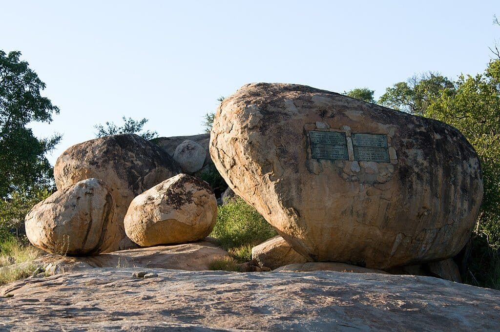
There are no public amenities here — no toilets, no picnic tables, and you must remain in your vehicle. If you need to stretch briefly, the Eileen Orpen Plaque and Kruger Tablets on this road are designated get-out points, but they aren’t service areas. For proper facilities and refreshments, plan a break at Tshokwane Picnic Site (or take care of essentials at Skukuza before you depart).

A park ranger sits on a dash-mounted phone, talking, as Parkwolf’s Tour Guide plays “Army Cutworm Moths: A Grizzly Bear Buffet” on Grand Loop Road below Dunraven Pass in Yellowstone
Parkwolf Tour GuideThe highest, rockiest slopes around here are a summer buffet for grizzly bears.

Kruger Tour Guide

Your drive to N'watindlopfu Waterhole, narrated.

Parkwolf is a GPS audio tour guide for Kruger National Park. As you drive, it chimes in with what’s ahead: hidden gems, upcoming stops, history, geology, and wildlife, right through your car’s speakers.

See the Kruger audio tour

Recorded for this place

N'watindlopfu Waterhole: A Productive Roadside Scan
Listen
“The waterhole coming up is N'watindlopfu, a classic spot for a quick scan right from your car.”

Plays as you drive up to N'watindlopfu Waterhole in the Parkwolf Kruger Tour Guide.

More stories near here in the app

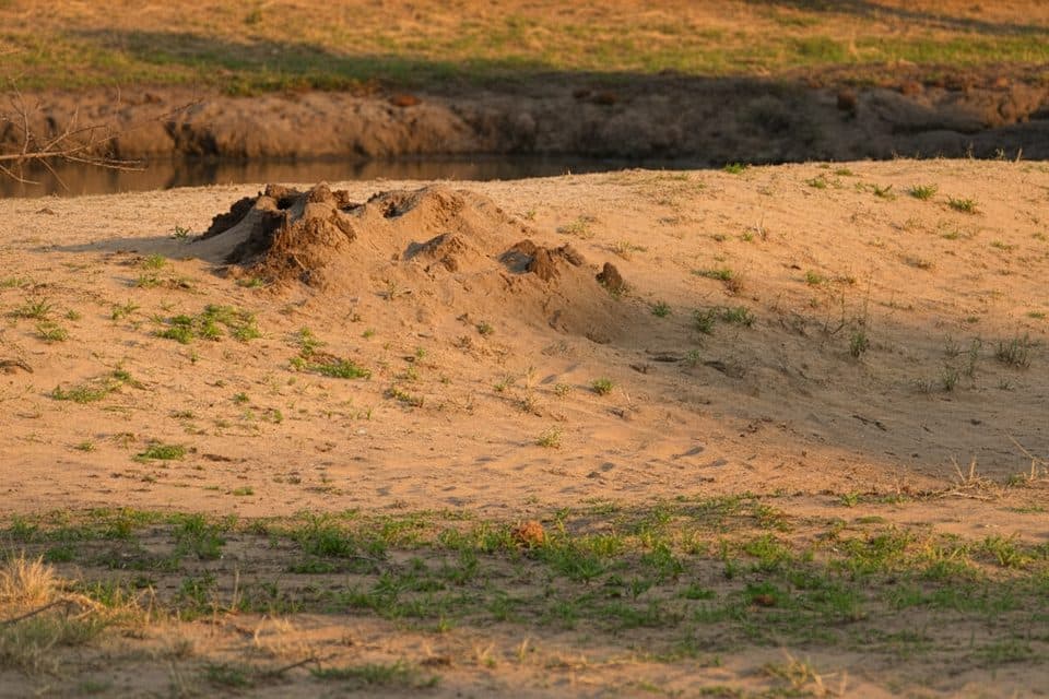
  • Termite Mounds: Wildlife Condos and Lookouts
  • Kruger Tablets: A Historic Lion Hangout
  • 202 audio storiesacross Kruger’s roads, triggered by GPS as you drive
  • Wildlife heatmapsfor Lion, Leopard, Elephant, and 13 more
  • Works offlinemaps, 2 trails, 183 places, and audio download before you lose signal
  • CarPlay readysimple controls built for the drive
★★★★★
“Fantastic app with many points of information… It’s great to just turn on while you’re driving and it gives you an audio tour of the national Park. We love it!!!!”
JMJamesApp Store review
Download Parkwolf on the App StoreGet Parkwolf on Google Play

4.7 from 8,600+ ratings

Guide

More about N'watindlopfu Waterhole

What you’ll seeExpect general plains game and the chance of predators moving through this busy road network.

Expect general plains game and the chance of predators moving through this busy road network. Early and late light works in your favor, and the broader N’watindlopfu/Manzimanhle/“Elephant’s Drinking Hole” cluster is known to reward patient, unhurried scanning. Wildlife use of artificial waterholes in southern Kruger varies: predator presence can suppress impala numbers, while other factors like water quality also shape activity. Translation: sightings are real but never guaranteed, so patience pays.

How to include it in your driveFold N’watindlopfu into the popular Skukuza → Tshokwane morning run, using it as one of several…

Fold N’watindlopfu into the popular Skukuza → Tshokwane morning run, using it as one of several short stops along the way. Start at gate opening, work north on H1-2, and make decisions based on what you’re actually seeing. Keep plans flexible and lean on camp sightings boards and chats with other drivers rather than sticking to a rigid loop.

Quick etiquetteRoll in quietly, switch off your engine, and scan slowly with binoculars.

Roll in quietly, switch off your engine, and scan slowly with binoculars. Never alight from your vehicle here, and don’t block space for others — this is a brief, mindful stop on a busy wildlife corridor.

Wildlife

Wildlife in Kruger

All Kruger wildlife maps

Sighting maps show where each species has been reported across Kruger. Wildlife moves, so no sighting is guaranteed.

Parkwolf’s Kruger ranking

Top sights in Kruger

All 183 places
  1. 1Lake Panic Bird HideSight
  2. 2Pafuri Fever Tree ForestSight
  3. 3Sunset DamScenic pullout
  4. 4Talamati Floodlit WaterholeSight
  5. 5Satara Floodlit WaterholeSight
  6. 6Elephant Hall of FameSight

Take Parkwolf to Kruger.

The audio tour guide for the drive, plus offline maps, trails, and wildlife heatmaps for when the signal drops.

4.7 from 8,600+ ratings

Download Parkwolf on the App StoreGet Parkwolf on Google Play