Overview
About Shabarumbe Confluence Viewpoint
Why stop
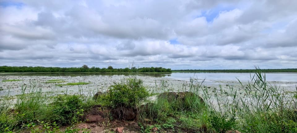
- A seasonal river junction with a very different look after rain.
Heads up
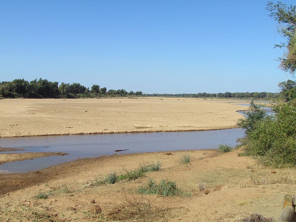
- The channel can look mostly sandy when water is low.
Map
Where it is

The highest, rockiest slopes around here are a summer buffet for grizzly bears.
Kruger Tour Guide
Your drive to Shabarumbe Confluence Viewpoint, narrated.
Parkwolf is a GPS audio tour guide for Kruger National Park. As you drive, it chimes in with what’s ahead: hidden gems, upcoming stops, history, geology, and wildlife, right through your car’s speakers.
See the Kruger audio tourRecorded for this place
Shabarumbe: Where Seasonal Channels Meet“You're coming up on the access roads for Shabarumbe Confluence Viewpoint, off the H1-6. The lookout is along a gravel detour, above the meeting of the Tsendze and smaller seasonal channels.”
Plays as you drive up to Shabarumbe Confluence Viewpoint in the Parkwolf Kruger Tour Guide.
More stories near here in the app
- The Jackal's Small-Prey Hunt
- Mooiplaas Picnic Site and Tsendze Camp
- The Owl That Looks Like Bark
- A Hippo's Underwater Steps
- 298 audio storiesacross Kruger’s roads, triggered by GPS as you drive
- Wildlife heatmapsfor Lion, Leopard, Elephant, and 13 more
- Works offlinemaps, 3 trails, 129 places, and audio download before you lose signal
- CarPlay readysimple controls built for the drive
“Fantastic app with many points of information… It’s great to just turn on while you’re driving and it gives you an audio tour of the national Park. We love it!!!!”


Guide
More about Shabarumbe Confluence Viewpoint
A small river junction south of MopaniShabarumbe Confluence Viewpoint is a small lookout on a gravel loop road south of Mopani, above…
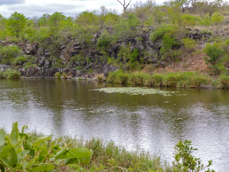
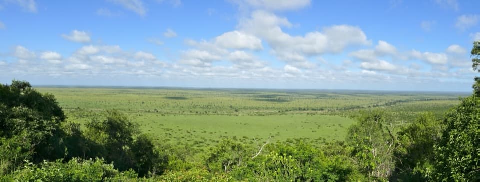
Shabarumbe Confluence Viewpoint is a small lookout on a gravel loop road south of Mopani, above the meeting of the Tsendze River and smaller seasonal channels. It looks into a wooded gully rather than out across a wide, open floodplain, so it works best as a short pause while you’re already driving this part of the park.
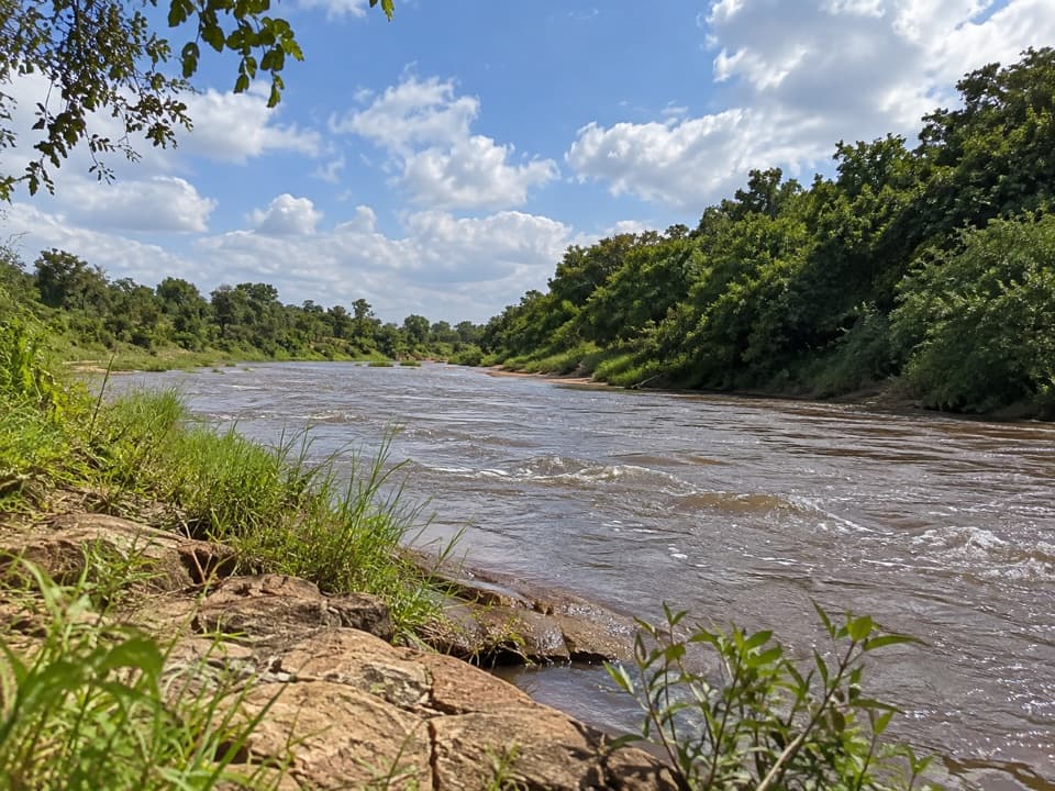
The river changes with the flowWhen water is low, the channel can look mostly sandy, with shade trees along its edge.
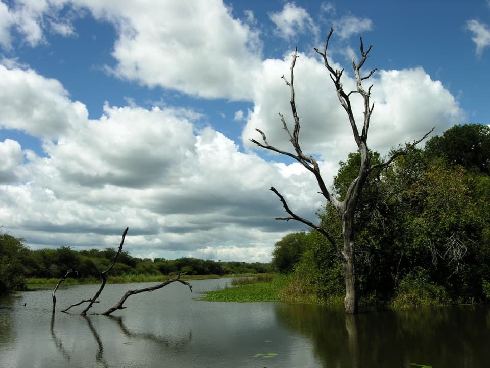
When water is low, the channel can look mostly sandy, with shade trees along its edge. After substantial rain, the water can spread into a broad, brown flow and make the confluence feel like a different place. Don’t expect the floodwater view year-round; the seasonal change is part of what makes this stop distinctive.
Frame the banks with the waterIf water is flowing, keep both the channel and the near-bank trees in the frame.
If water is flowing, keep both the channel and the near-bank trees in the frame. That wider view shows how the river cuts through the wooded gully; a tight shot of water alone loses the sense of place. In dry conditions, let the sandy channel and shade tree carry the picture instead.
Use the signed stopping areaThe viewpoint is reached from the H1-6 by gravel access roads south of Mopani.
The viewpoint is reached from the H1-6 by gravel access roads south of Mopani. Available sources place it about 600 metres from the paved road, but don’t confirm its current sign or stopping arrangement. Leave the through road only where the park marks a stopping point and follow posted directions. No toilet, water, or food service could be verified at the viewpoint, so plan those needs at a rest camp.
Wildlife
Wildlife in Kruger
 1,378 sightingsLionMost seen around 6 AMSighting map
 779 sightingsLeopardMost seen around 5 AMSighting map
 2,515 sightingsElephantMost seen around 5 PMSighting map
 449 sightingsWhite RhinocerosMost seen around 6 AMSighting map
 583 sightingsBuffaloMost seen around 5 PMSighting map
 521 sightingsWild DogMost seen around 6 AMSighting map
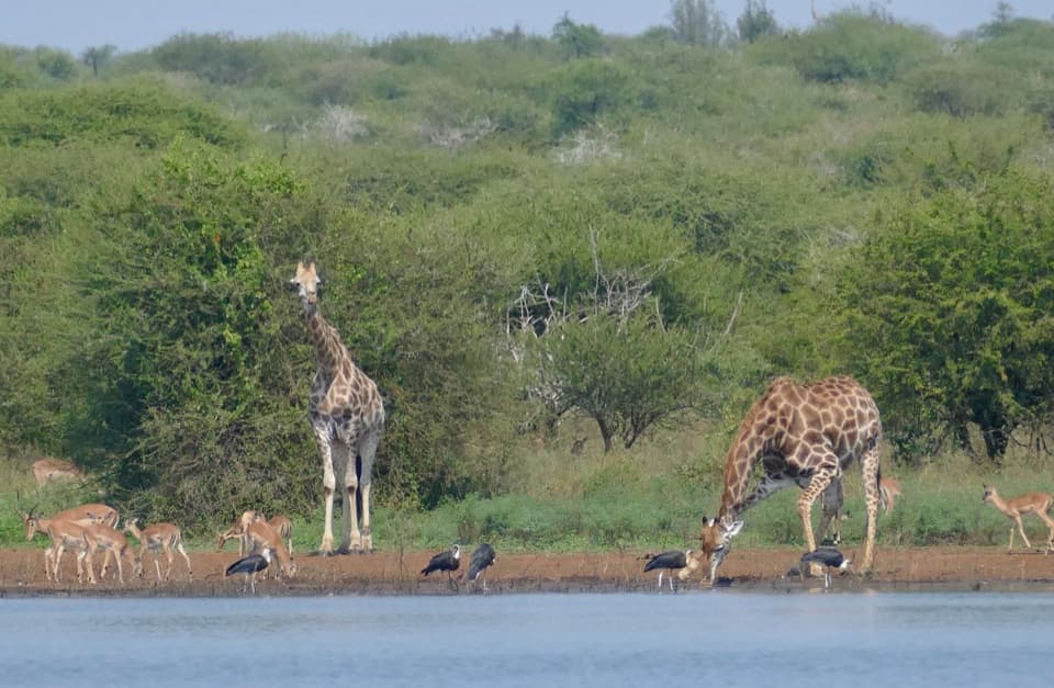
Sighting maps show where each species has been reported across Kruger. Wildlife moves, so no sighting is guaranteed.