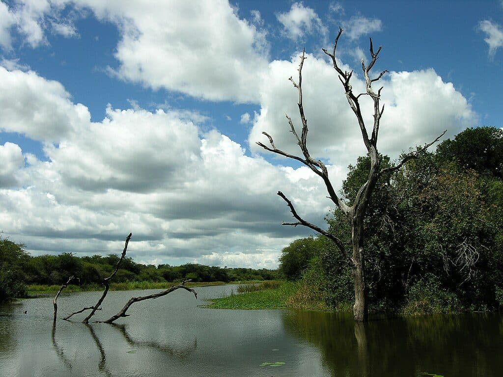
Best time to visit
- Season: Dry months (roughly May–September) concentrate wildlife and keep grass shorter for visibility.
- Time of day: Early morning and late afternoon for activity and softer light; midday often goes quiet in the heat.
Scenic pullout · Kruger National Park
Open plains waterhole viewpoint for patient wildlife watching
Overview
A simple, signed stop on the open plains of the Mopani region, Tihongonyeni Waterhole Viewpoint sits along the S143 and looks over big, treeless country. It’s all about long views and patient scanning rather than instant action.
Map
Local know-how
Use Mopani Rest Camp or Mooiplaas Picnic Site for bathrooms before you go.
Plan a 20–40 minute stakeout and scan slowly with binoculars.
Early and late are best; the dry season improves visibility and concentration.
Confirm current status with Mopani reception if you’re aiming for waterhole action.
Plan your stop

The highest, rockiest slopes around here are a summer buffet for grizzly bears.
Kruger Tour Guide
Parkwolf is a GPS audio tour guide for Kruger National Park. As you drive, it chimes in with what’s ahead: hidden gems, upcoming stops, history, geology, and wildlife, right through your car’s speakers.
See the Kruger audio tourMore stories near here in the app
“Fantastic app with many points of information… It’s great to just turn on while you’re driving and it gives you an audio tour of the national Park. We love it!!!!”


Guide
Kruger has been decommissioning some artificial water points to restore natural movement patterns. As reported in recent years, Tihongonyeni has at times been a virtual dust bowl with the windmill down — so you may find it dry and quiet. Treat it as a stakeout for movement across the plains rather than a permanent drinking hotspot.
This is a bare-bones viewpoint — no toilets, water, shop, or picnic facilities. Facilities are concentrated at rest camps and designated picnic sites. The closest full-service base is Mopani Rest Camp (nearby to the southwest). Mooiplaas Picnic Site is another option for ablutions and a break.
You may alight only where signage allows and at your own risk. Expect gravel, dust and some corrugations on approach; keep speeds down.
Wildlife
 1,312 sightingsLionMost seen around 6 AMSighting map
 727 sightingsLeopardMost seen around 5 AMSighting map
 2,403 sightingsElephantMost seen around 5 PMSighting map
 425 sightingsWhite RhinocerosMost seen around 6 AMSighting map
 547 sightingsBuffaloMost seen around 5 PMSighting map
 502 sightingsWild DogMost seen around 6 AMSighting map
Sighting maps show where each species has been reported across Kruger. Wildlife moves, so no sighting is guaranteed.
Parkwolf’s Kruger ranking

The audio tour guide for the drive, plus offline maps, trails, and wildlife heatmaps for when the signal drops.