
Place · 2.1 mi away
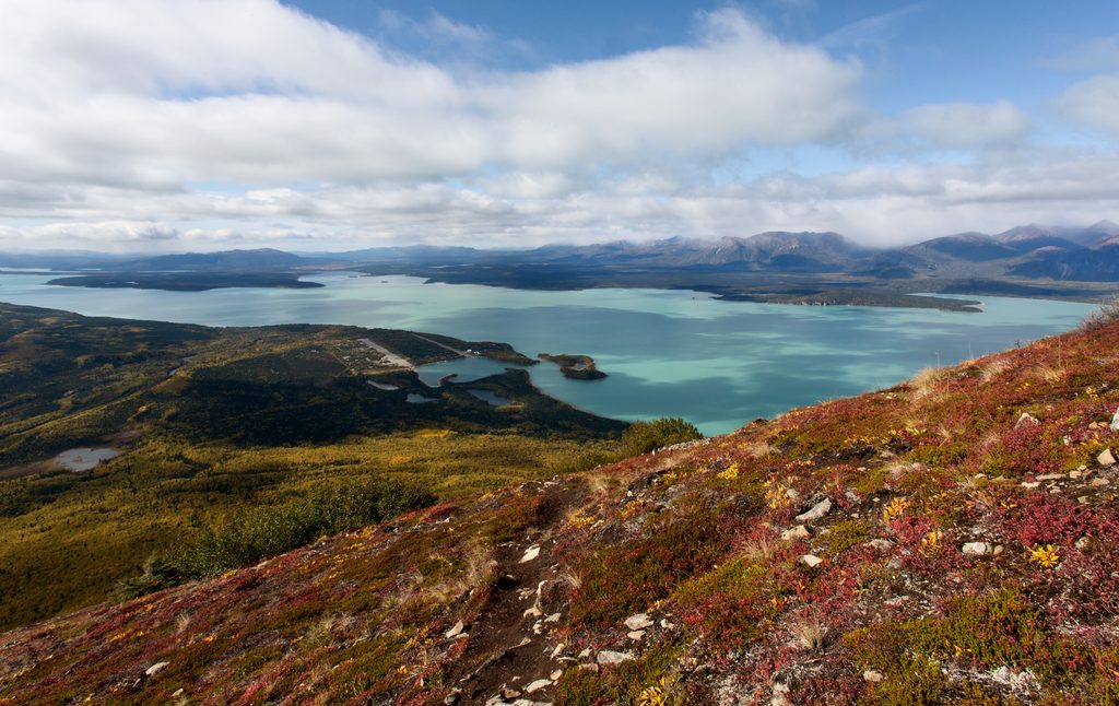
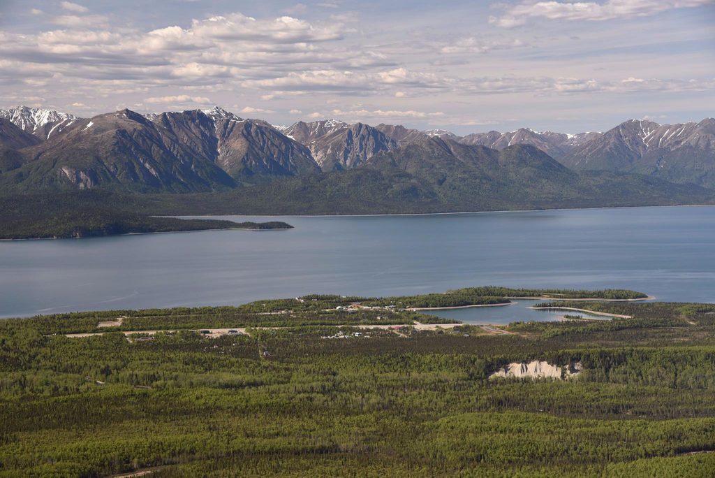
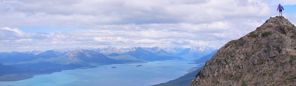
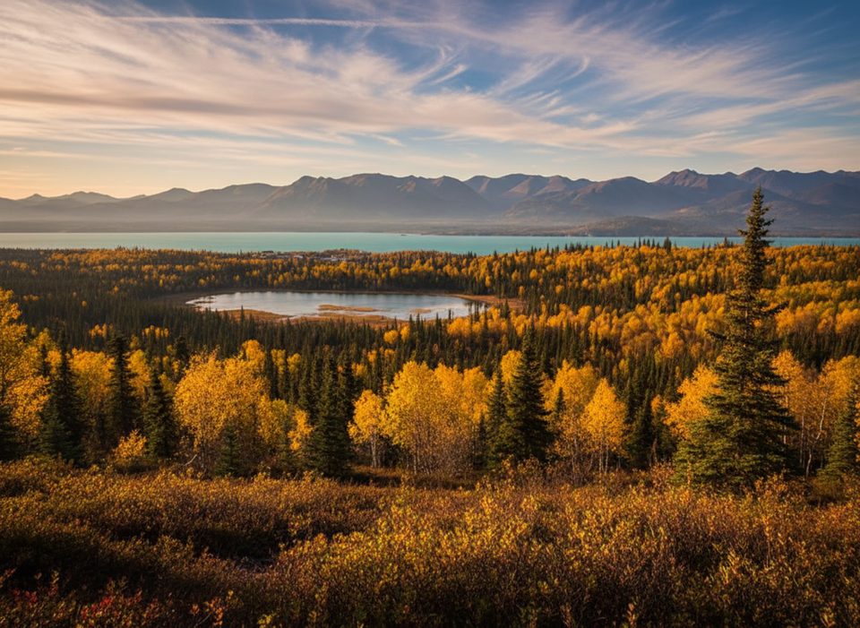
Qizhjeh Vena is the Dena’ina name for Lake Clark, the park’s largest lake and the heart of its frontcountry. Think long, narrow, and deep—about 41 miles in length, 1–4 miles wide, and roughly 870 feet at its deepest—glowing a milky turquoise from glacial silt. The community of Port Alsworth sits on its shore and serves as the main visitor base with the park’s visitor center and trail access.
This is a glacially carved basin, still fed by glaciers that deliver fine “rock flour,” giving the water its striking color. The straight, linear shape isn’t an accident either: the Lake Clark Fault runs beneath the lake and Lake Clark Pass, with significant right‑lateral movement. The broader landscape is part of the Pacific Ring of Fire—active volcanoes like Redoubt, Iliamna, Augustine, and Douglas shape the skyline and the story here.
Qizhjeh means “place people gather,” and the lake has anchored Dena’ina life for centuries. A major lakeshore village (Kijik) thrived for about 900 years before being abandoned in the early 1900s after epidemics; it’s now a National Historic Landmark. Dena’ina people and nearby communities still use the lake for subsistence today, so travel with respect for living traditions and cultural sites.
These waters help power one of the world’s great salmon systems feeding Bristol Bay. Expect fish like sockeye salmon, lake trout, Arctic grayling, and char, and the broader lake area supports brown and black bears, moose, Dall sheep, wolves, eagles, and waterfowl. If your top goal is bear viewing, most guided day trips target hotspots like Crescent Lake or Chinitna Bay where bears concentrate to fish.
Most visitors arrive by small plane or floatplane to Port Alsworth, then hike the maintained Tanalian Trails, paddle the shoreline, or link up with guides for bear‑viewing or flightseeing. The lake itself is a fantastic launchpad for paddling and scenic flying, with big‑mountain views in every direction.
This is a roadless, lightly developed place: there are no public parking lots around the lake and only limited facilities. Restrooms and services are centered at managed facilities in Port Alsworth when open; elsewhere you should be prepared for fully primitive travel and camping. Much of the shoreline is a mix of public and private lands—confirm land status before landing or camping.
Use USGS topographic maps for real navigation; the park brochure map is fine for orientation. An official land status viewer exists to help you check public vs. private parcels around the lake—super helpful if you’re boating or flying in and need a legal place to land or camp.
Mid‑summer through early fall sees peak visitation, the most reliable salmon activity, and your best odds for bear viewing on guided trips. Weather is famously variable even in July, so pack for rain, wind, and cool temps, build slack into flight plans, and confirm operating hours and any site‑specific restrictions before you go.
Place · 2.1 mi away
Place · 2.1 mi away
Place · 2.2 mi away
Place · 2.2 mi away
Challenging · 2.5 mi away
Moderate · 2.5 mi away
Easy · 2.5 mi away
Easy · 2.5 mi away

Parkwolf Tour Guide
