Kontrashibuna Lake Trail in Lake Clark National Park

#2 of 5 trails in Lake Clark

Lake Clark National Park, AK

Kontrashibuna Lake Trail

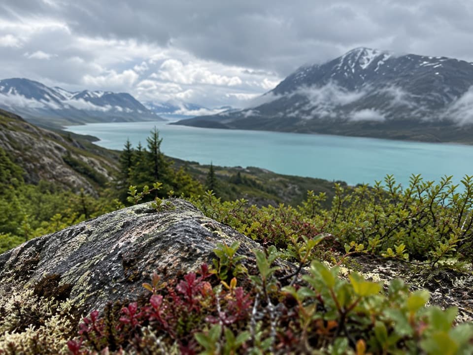
A forest walk to Tanalian Falls and a turquoise mountain lake.

Photo: National Park Service
Length
5.8mi
Time
3.5hr
Elev. change
364ft
Difficulty
Moderate
  • Dogs allowed
  • High point 640 ft

Hear the audio tour

Tanalian Trails and Falls

Overview

About Kontrashibuna Lake Trail

Why go

  • Pairs Tanalian Falls with a mountain lake in one hike
  • The first lakeshore makes a clear turnaround before rougher backcountry travel

Heads up

  • Port Alsworth is remote and has no road connection
  • The return retraces the same forest route

Map & elevation

The route

Loading the Lake Clark map
Full map
Elevation276–640 ft
TrailheadFalls and Lake Trailhead60.19696, -154.31227
Keep this map with you offline in the Parkwolf app

Plan your hike

Before you go

Parking

The shared Falls and Lake Trailhead is near Port Alsworth’s southernmost airstrip. From the visitor center, walk toward Hardenberg Bay to the trailhead; dedicated parking details are not documented. Port Alsworth has no road connection and is reached by air or boat.

Safety

Port Alsworth’s active gravel runways may need to be crossed on foot; use the runway ends and watch for aircraft. Bears use the lakeshore area, and mosquitoes and biting flies may be present. Beyond the first shore, the maintained trail ends; farther shoreline travel uses uneven game trails, brush and two small stream crossings that can rise in floods.

A park ranger sits on a dash-mounted phone, talking, as Parkwolf’s Tour Guide plays “Army Cutworm Moths: A Grizzly Bear Buffet” on Grand Loop Road below Dunraven Pass in Yellowstone
Parkwolf Tour GuideThe highest, rockiest slopes around here are a summer buffet for grizzly bears.

Lake Clark Tour Guide

Your drive to Kontrashibuna Lake Trail, narrated.

Parkwolf is a GPS audio tour guide for Lake Clark National Park. As you drive, it chimes in with what’s ahead: hidden gems, upcoming stops, history, geology, and wildlife, right through your car’s speakers.

See the Lake Clark audio tour

Recorded for this trailhead

Tanalian Trails and Falls
0:00 / 0:21
“You're approaching the Tanalian Trails access, where I'd choose the walk to Tanalian Falls. It's roughly four miles round trip and takes about two and a half hours through birch and spruce.”

Plays as you drive up to this trailhead in the Parkwolf Lake Clark Tour Guide.

More stories near here in the app

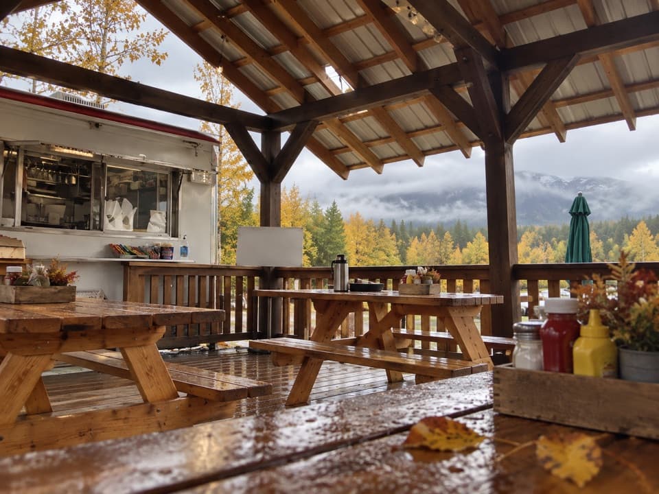
  • Cissie's Kitchen
  • Port Alsworth Visitor Center and Fish Cache
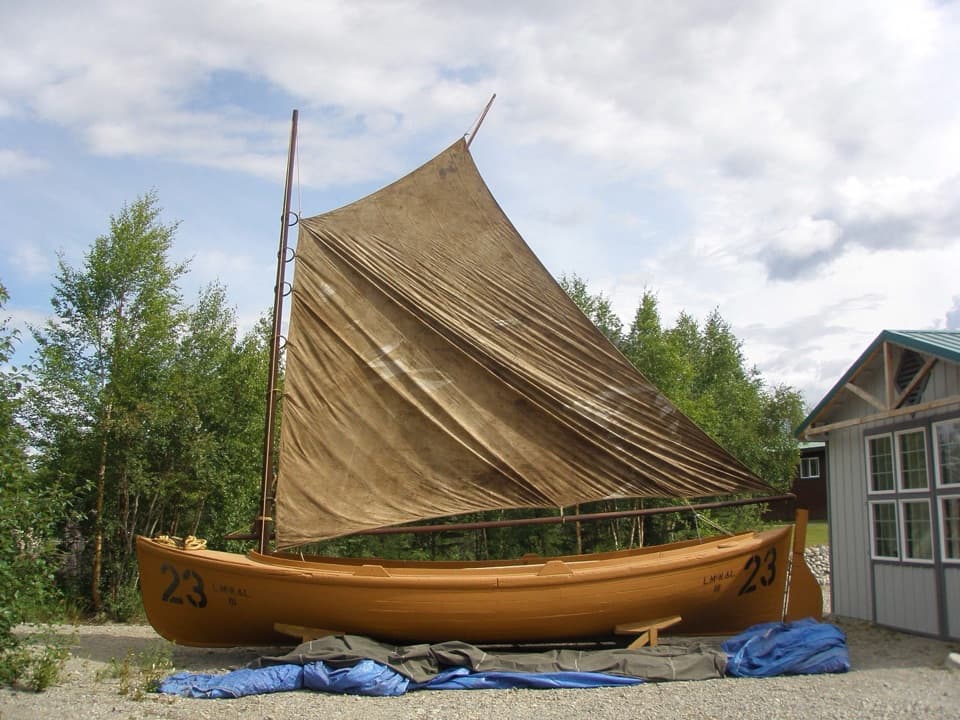
  • Libby's Orange Sailboat
  • 18 audio storiesacross Lake Clark’s roads, triggered by GPS as you drive
  • Wildlife heatmapsfor Brown Bear, Bald Eagle, Common Merganser
  • Works offlinemaps, 5 trails, 34 places, and audio download before you lose signal
  • CarPlay readysimple controls built for the drive
★★★★★
“Fantastic app with many points of information… It’s great to just turn on while you’re driving and it gives you an audio tour of the national Park. We love it!!!!”
JMJamesApp Store review
Download Parkwolf on the App StoreGet Parkwolf on Google Play

4.7 from 8,600+ ratings

Trail guide

Hiking Kontrashibuna Lake Trail

The lake hikeThis is a 5.

This is a 5.8-mile out-and-back from the Falls and Lake Trailhead in Port Alsworth to the first shore of Kontrashibuna Lake, with Tanalian Falls on the way. Give it about half a day: the lake deserves time, and the waterfall is an easy place to linger. If you only want the falls, turn around there for the shorter hike; continuing to the lake adds roughly a mile each way and trades a little extra effort for a striking mountain setting. The return follows the same route, so the climb you descended near the falls comes back at the end.

Up through the forestFor the first 2.5 miles from Port Alsworth, the established trail is well marked.

For the first 2.5 miles from Port Alsworth, the established trail is well marked. It climbs through birch groves and spruce-covered hillsides. One opening looks back across Lake Clark before the route rounds a bend and drops gently toward Tanalian Falls. In summer, dwarf dogwood lines parts of the approach. The falls are the other good reason to make the walk: cold glacial water spills over a roughly 30-foot cliff of ancient lava, and the mist and roar hit before you get a clear look.

Make the lake your turnaroundBeyond the falls, the trail continues into designated wilderness and reaches Kontrashibuna Lake.

Beyond the falls, the trail continues into designated wilderness and reaches Kontrashibuna Lake. Stop at the first shore and take in the turquoise water and rugged peaks; on a calm day, they reflect across the lake. This is the simple day-hike itinerary represented here. Anglers may find arctic char and lake trout in the lake, but check the applicable fishing rules before casting.

The shoreline beyondThe maintained trail ends at the lake.

The maintained trail ends at the lake. Walking farther along the shore is a different, rougher trip; the lake head is about 14 miles beyond the outlet. That rougher route follows game paths that wander away from the water through uneven ground, trees and thick brush, and two small streams cross the route. They are usually less than knee-deep but can rise during flooding. Spring and late fall often expose more beach when water is lower. Don’t mistake that long lakeshore itinerary for a marked extension of this trail.

Getting to the trailheadPort Alsworth has no road connection and no grocery stores; visitors arrive by air or boat, and…

Port Alsworth has no road connection and no grocery stores; visitors arrive by air or boat, and private airstrip landing fees are separate from hiking. From the visitor center, follow the village route toward the southernmost airstrip and Hardenberg Bay to the shared Falls and Lake Trailhead. Dedicated parking details aren’t documented. The visitor center has trail maps and can lend bear-resistant food containers. You may need to cross active gravel runways on foot; use the ends and watch for aircraft, which can be quieter than you expect. Leashed pets are allowed, though park staff strongly recommend leaving them home because dogs can provoke wildlife and disturb nesting animals.

Wildlife

Wildlife in Lake Clark

All Lake Clark wildlife maps

Sighting maps show where each species has been reported across Lake Clark. Wildlife moves, so no sighting is guaranteed.

Parkwolf’s Lake Clark ranking

Top-rated trails in Lake Clark

All 5 trails
  1. 1Tanalian Falls TrailModerate · 4 mi
  2. 3Tanalian Mountain TrailChallenging · 8.6 mi
  3. 4Teetering Rock TrailModerate · 1.6 mi
  4. 5Portage Creek TrailModerate · 6.5 mi

Take Parkwolf to Lake Clark.

The audio tour guide for the drive, plus offline maps, trails, and wildlife heatmaps for when the signal drops.

4.7 from 8,600+ ratings

Download Parkwolf on the App StoreGet Parkwolf on Google Play