Parking
Start at Falls and Lake Trailhead near the southernmost Port Alsworth airstrip. Use the public easement shown on the park trail map across private property; check at the visitor center for a current map and conditions.

#1 of 5 trails in Lake Clark
Lake Clark National Park, AK
A moderate 4-mile round trip to a 30-foot waterfall.
Overview
Map & elevation
Plan your hike

The highest, rockiest slopes around here are a summer buffet for grizzly bears.
Lake Clark Tour Guide
Parkwolf is a GPS audio tour guide for Lake Clark National Park. As you drive, it chimes in with what’s ahead: hidden gems, upcoming stops, history, geology, and wildlife, right through your car’s speakers.
See the Lake Clark audio tourRecorded for this trailhead
Tanalian Trails and Falls“You're approaching the Tanalian Trails access, where I'd choose the walk to Tanalian Falls. It's roughly four miles round trip and takes about two and a half hours through birch and spruce.”
Plays as you drive up to this trailhead in the Parkwolf Lake Clark Tour Guide.
More stories near here in the app
“Fantastic app with many points of information… It’s great to just turn on while you’re driving and it gives you an audio tour of the national Park. We love it!!!!”


Trail guide
Tanalian Falls Trail is a moderate, roughly 4-mile out-and-back from Falls and Lake Trailhead to the falls and back. Give it about 2½ hours, with time to stop at the water. The route starts near Port Alsworth’s southern airstrip and climbs through birch and spruce, with Lake Clark opening through the trees now and then. The payoff is a waterfall dropping about 30 feet over ancient lava. If you want a half-day walk with a real destination rather than a full-day summit, this is a good fit.
The trail meanders through birch groves and up a spruce-studded hillside. Lake Clark comes into view in breaks rather than staying beside you, and most of the walk is among trees. In summer, dwarf dogwood lines the trail and sunlight dapples the forest floor. Near the falls, the route rounds a bend and heads down a gentle slope. The approach is moderate, but the return climbs back out along the same corridor, so leave time and energy for it.
Cold glacial water pours over a roughly 30-foot cliff of ancient lava, and spray reaches the viewing area. The waterfall is the clear highlight; pause long enough to take in the sound as well as the view. For a photo, keep some of the rock and surrounding spruce in the frame. That setting is what makes this more than a wall of white water.
Turn around at Tanalian Falls for this trail’s roughly 4-mile round trip. The system continues beyond the falls toward Kontrashibuna Lake, about 5.5 miles round trip, while Tanalian Mountain is a separate 8.6-mile full-day hike. Those outings share part of the approach but add different distance and terrain. A Beaver Pond return can make a loop and offers a gentler climb to the falls, but the exact combined mileage isn’t published; check the current trail map before choosing it. Benches overlook the old pond, where shorebirds nest in early summer.
Port Alsworth is off Alaska’s road system, so plan the small-plane trip as part of the visit. The Falls and Lake Trailhead is near the southernmost airstrip. Its approach crosses private property on a public easement: follow the easement shown on the park map and stay off nearby private roads. The park recommends stopping at its Port Alsworth visitor center for a current trail map and conditions. Bears use this country, so secure scented items and follow park bear guidance. Leashed pets are allowed, but must stay leashed at all times; dispose of pet waste as the park directs.
Wildlife
 142 sightingsBrown BearMost seen around 8 AMSighting map
 11 sightingsBald EagleMost seen around 6 PMSighting map
 13 sightingsCommon MerganserMost seen around 8 AMSighting map
Sighting maps show where each species has been reported across Lake Clark. Wildlife moves, so no sighting is guaranteed.
Keep exploring
 ModerateKontrashibuna Lake Trail5.8 mi · 3.5 hr · At the trailheadA forest walk to Tanalian Falls and a turquoise mountain lake.
 ChallengingTanalian Mountain Trail8.6 mi · 8.5 hr · At the trailheadA steep all-day climb for wide views over Lake Clark.
 ModeratePortage Creek Trail6.5 mi · 4.5 hr · 13.9 mi awayA remote climb from Lake Clark's shore to alpine tundra.
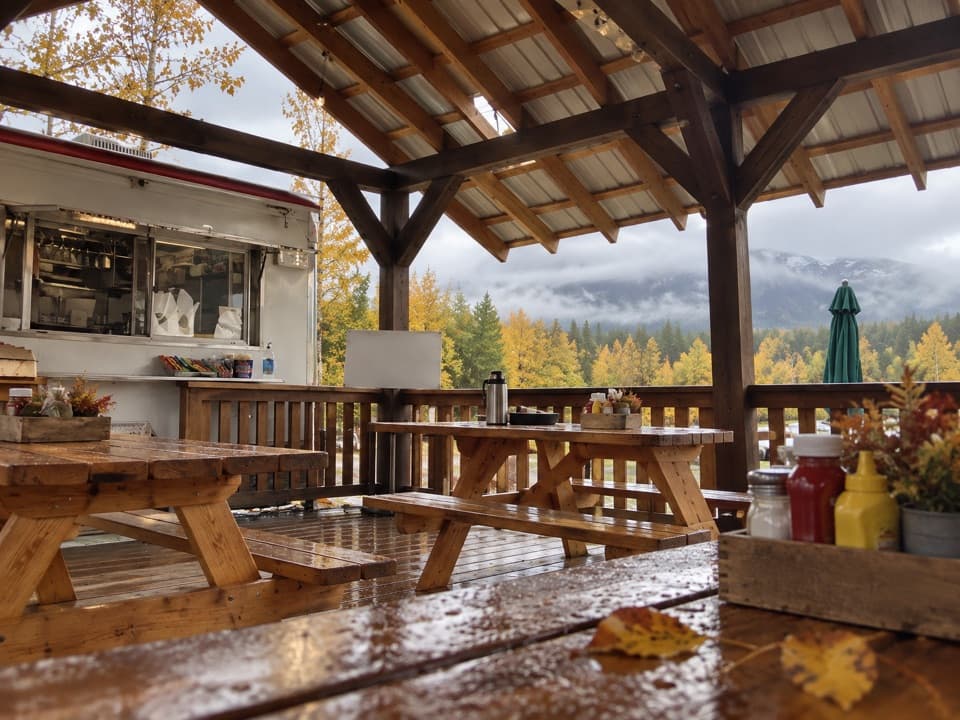 Restaurant · 0.2 mi awayCissie's Kitchen (CK's Food Truck)A useful Port Alsworth meal stop where there's no grocery store.
 Visitor center · 0.4 mi awayPort Alsworth Visitor CenterStart with trail maps, ranger help, and Dena’ina fish-cache history.
 Sight · 0.4 mi awayDenison Sawmill ExhibitA steam sawmill that helped a remote community build itself.
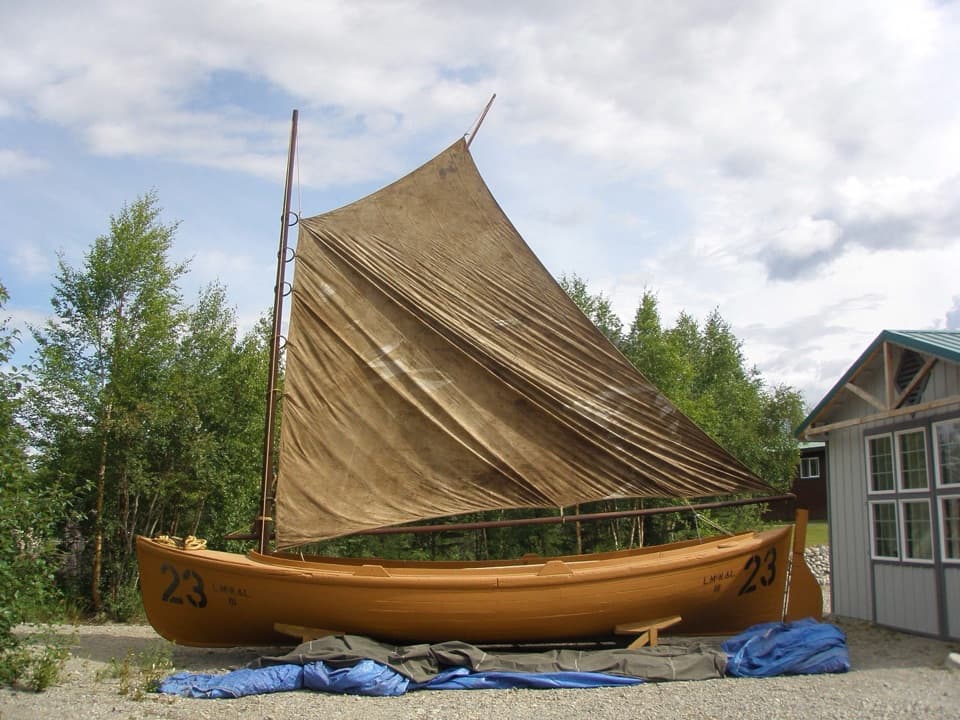 Sight · 0.4 mi awayLibby's No. 23 Bristol Bay Double-EnderA restored 1914 sailboat makes Bristol Bay's fishing past tangible.
 Sight · 0.4 mi awayWassillie Trefon Dena'ina Fish CacheA century-old Dena'ina fish cache built without nails or spikes.
 Lodging · 0.5 mi awayLake Clark Resort (The Farm Lodge)A fly-in lodge with cabins, meals and Lake Clark excursions.
 Lodging · 0.6 mi awaySailing Lake ClarkSleep aboard a catamaran and explore the lake as conditions allow.
 Lodging · 0.6 mi awayAerie on Lake ClarkA quiet lodge with lake views and helpful local hosts.
Parkwolf’s Lake Clark ranking

The audio tour guide for the drive, plus offline maps, trails, and wildlife heatmaps for when the signal drops.