
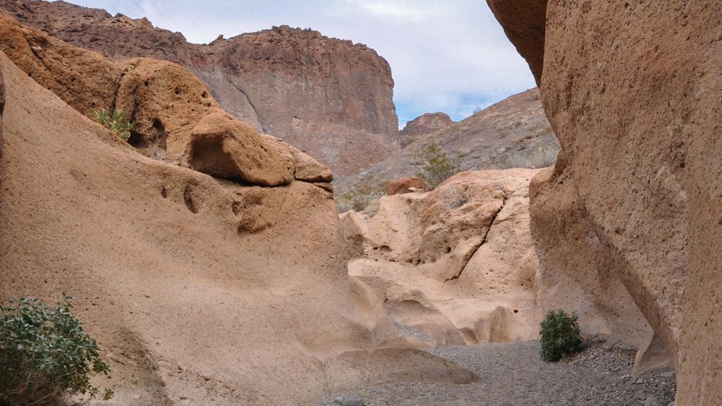
Place · 1.1 mi away
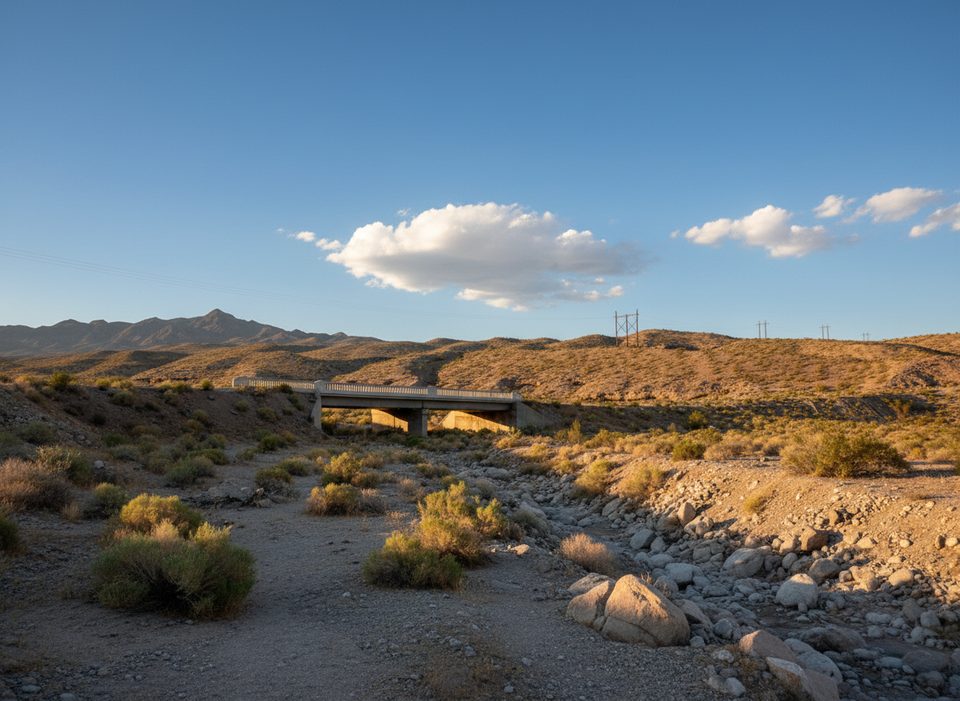
A short stroll from the White Rock Canyon parking lot, this disused highway-era bridge spans the upper end of White Rock Canyon and now serves as a pedestrian curiosity and photo stop. It’s essentially a gateway marker for hikes to Arizona (Ringbolt) Hot Springs and Liberty Bell Arch—worth a quick look even if you’re just stretching your legs before driving on.
Built as part of an early US 93 route, the bridge crossed a dry wash where engineers wrestled with rugged drainage patterns and overflow sections. It no longer carries vehicles; today it’s a relic of the pre–Hoover Dam Bypass alignment and an easy way to visualize the old road.
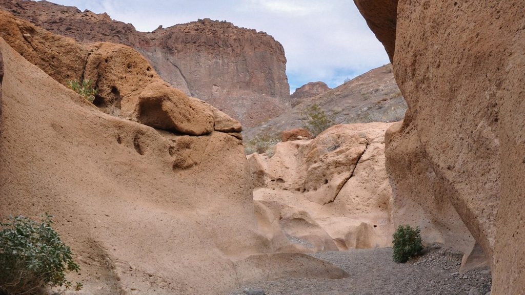
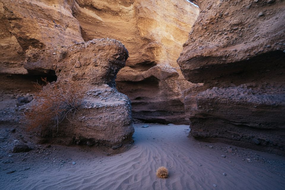
The canyon here is a mix of volcanic rock and ash, with occasional granite boulders washed down from the Black Mountains. It’s stark, photogenic desert geology. Down-canyon, groundwater heated by natural geothermal conditions feeds the famous hot springs—water emerges through faults at notably warm temperatures.
Park at the White Rock Canyon lot off US‑93 (Arizona side, just south of Hoover Dam) and walk a minute to the bridge. There’s no potable water at the trailhead. Pit toilets are down near the Colorado River by the hot springs, not at the bridge or parking area. From the same lot you can continue on marked trails toward Arizona Hot Springs or Liberty Bell Arch if you want more than a photo stop.
Cool-season mornings (fall through early spring) offer pleasant temps and softer light for photography. Weekdays tend to be quieter. Trails here typically close for extreme heat in summer (often mid‑May through late September), so plan around the seasonal closure window.
Heat is the main hazard—start early, bring ample water and salty snacks, and keep hikes short if it’s warm. Flash floods are possible in washes during storms. If you continue to the hot springs, avoid submerging your head in thermal waters and consider nose protection due to rare amoeba risk. Reports of vehicle break‑ins exist; don’t leave valuables visible. Dogs are allowed on leash on nearby trails, but the terrain and heat can be tough for pets.
Place · 1.1 mi away
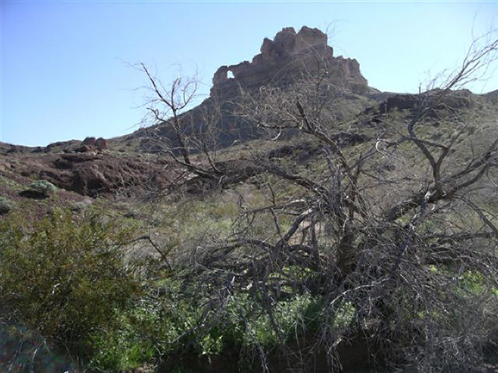
Place · 1.6 mi away
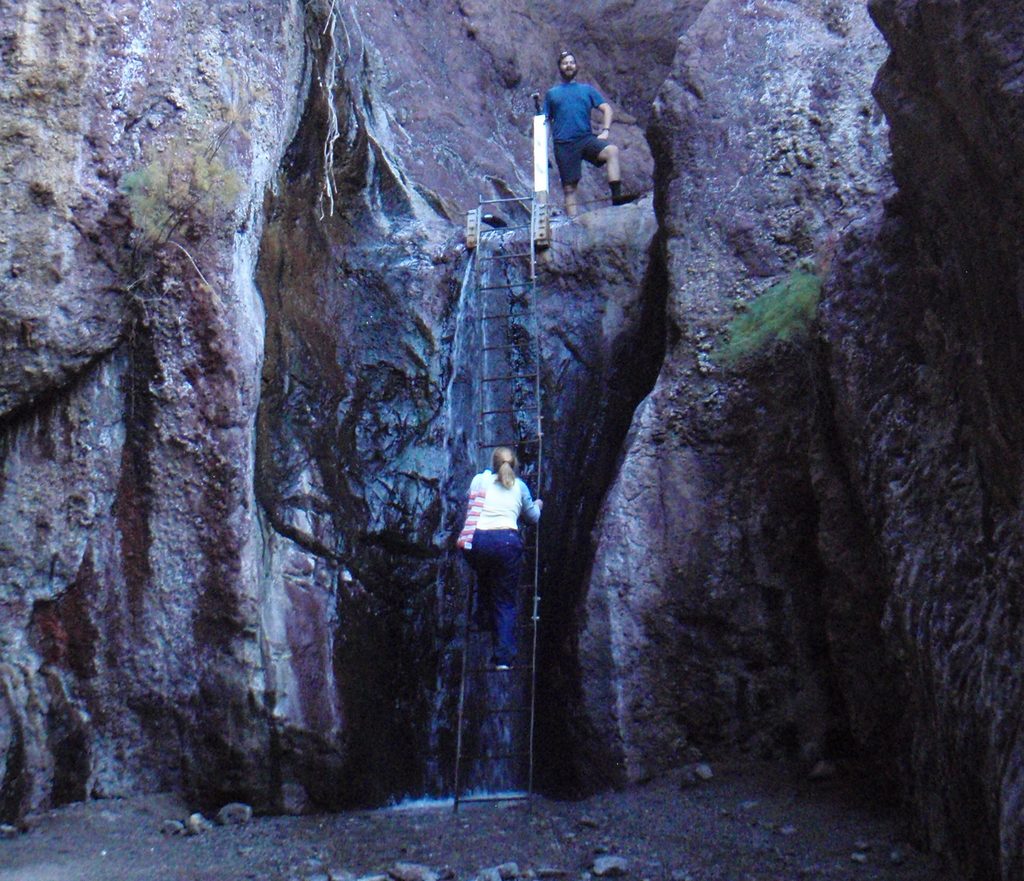
Place · 2.1 mi away
Place · 2.2 mi away
Challenging · 0 mi away
Challenging · 0.1 mi away
Moderate · 0.1 mi away
Easy · 0.6 mi away

Parkwolf Tour Guide
