Place · 0.6 mi away
Easy

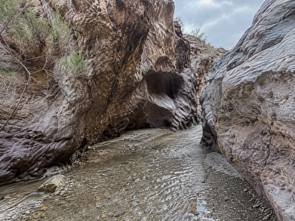
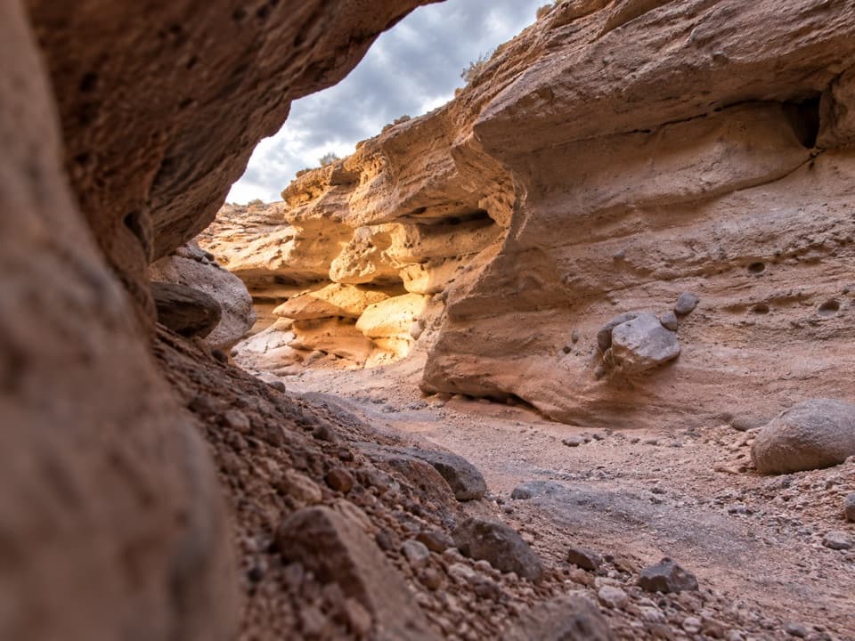
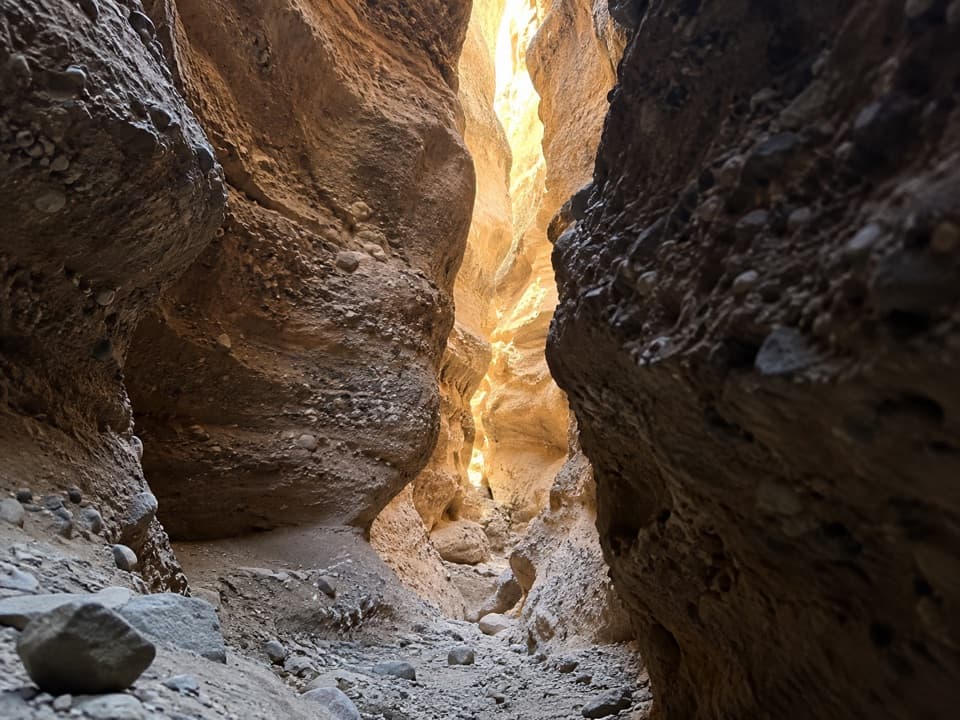
This is the quick-hit slot near Hoover Dam on the Arizona side of Lake Mead NRA—not the famous Escalante one. Expect tight, dark narrows carved into cobble‑and‑pebble conglomerate, a small natural arch, and a choose‑your‑own‑adventure feel with a couple of short left forks. The slot itself is roughly 1.0 mile total out and back if you explore the forks; plan on 30–60 minutes.
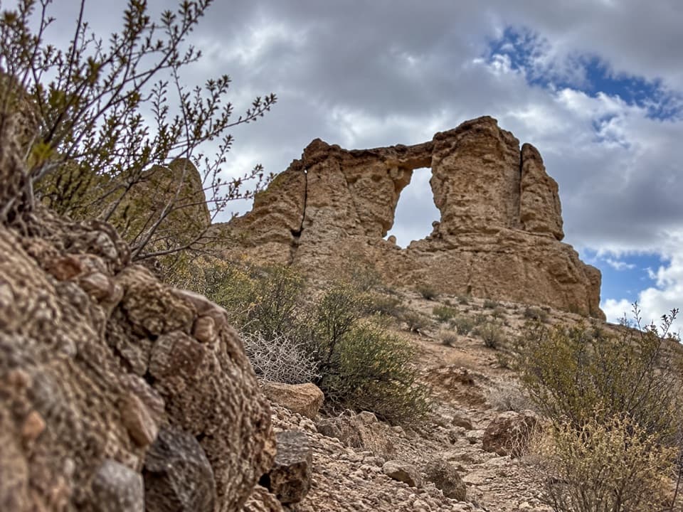
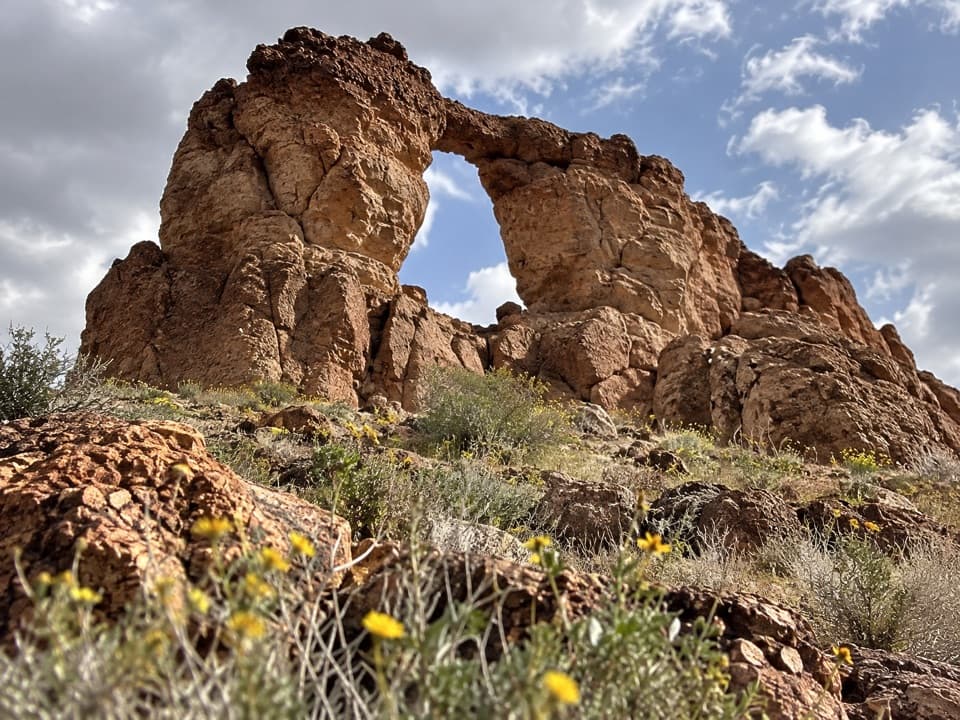
Drop into the wash and head upcanyon. The first left fork ends after a short, fun upclimb to open ground. The second left fork is the most sculpted and photogenic, but it dead‑ends at a tall dryfall. Back in the main fork, look for a small arch high on the left wall just below that confluence. The main passage ends at an approximately 13‑foot dryfall—climbable only for confident scramblers who can reverse it. Above, the canyon quickly opens and loses the magic, so most folks turn around here. Expect sections just a couple feet wide, with embedded pebbles as natural handholds.
Two options: (1) Park at the paved White Rock Canyon trailhead (restrooms) and walk about 0.4–0.5 mile along US‑93 to the canyon mouth. (2) Use the tiny dirt pull‑out immediately above the wash for a shorter approach, but be extremely cautious merging on/off the highway. Wildlife fencing lines the road; hikers typically pass through openings to reach the wash. Helpful reference points: White Rock TH ~35.9803°N, −114.6981°W; canyon mouth ~35.9836°N, −114.7055°W.
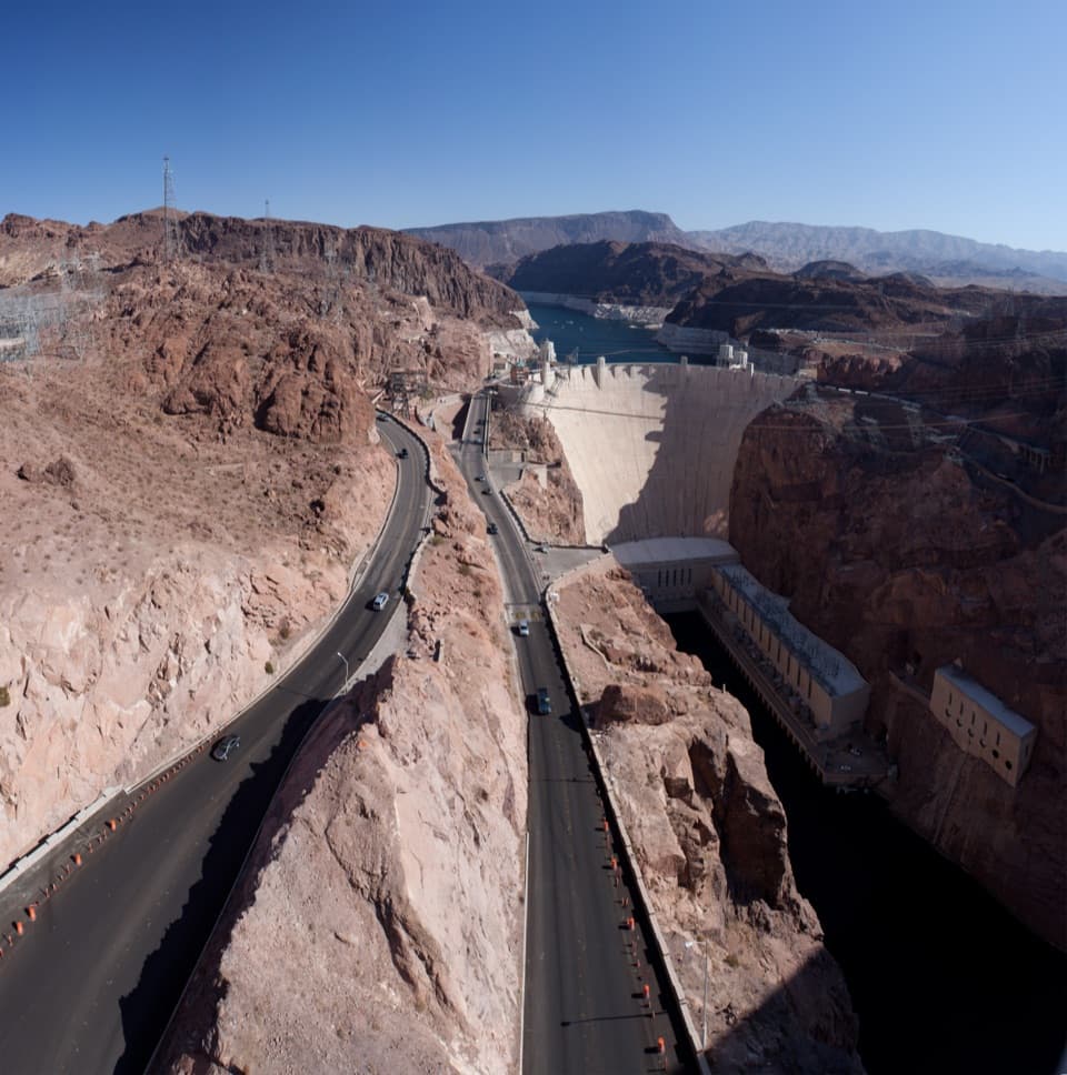
Go fall through spring; summers cook. Early or late light adds drama in the darker narrows and makes the arch easier to spot. Weekdays are often quiet, and this one is easy to pair with nearby Arizona Hot Springs, White Rock Canyon, Liberty Bell Arch, or a Hoover Dam stop.
Bring grippy footwear and 1–2 liters of water—there’s none on route. Flash floods are a real risk; skip the slot if storms are in the forecast. Holds near the final dryfall can be loose; only climb what you can downclimb. If you walk the highway shoulder from White Rock, wear bright colors and stay well off traffic. Dogs are allowed on leash; consider booties since burrs and cactus bits show up in the wash. Claustrophobic hikers may find some narrows uncomfortable.
Absolutely—as a short, low‑commitment slot. It’s not long, but the moody narrows, cobblestone walls, and side forks deliver a lot of character in a tiny package.
Best: White Rock Canyon Trailhead (paved lot, restrooms), then walk 0.4–0.5 mi along US‑93 to the canyon mouth. Closer but limited: a small dirt pull‑out directly above the wash; use extreme caution entering/exiting the highway. Look for openings in the wildlife fence to access the wash. Approx coords: TH 35.9803, -114.6981; mouth 35.9836, -114.7055.
Flash flood risk in storms; loose holds at the final dryfall; hot temps and no water; narrow, dark sections; highway shoulder walking or tricky pull‑out; burrs and cactus can bother dogs.