Liberty Bell Arch

Bell-shaped desert arch with a killer Colorado River overlook
Liberty Bell Arch, Lake Mead National Recreation Area
InsideLake Mead National Recreation Area

Overview

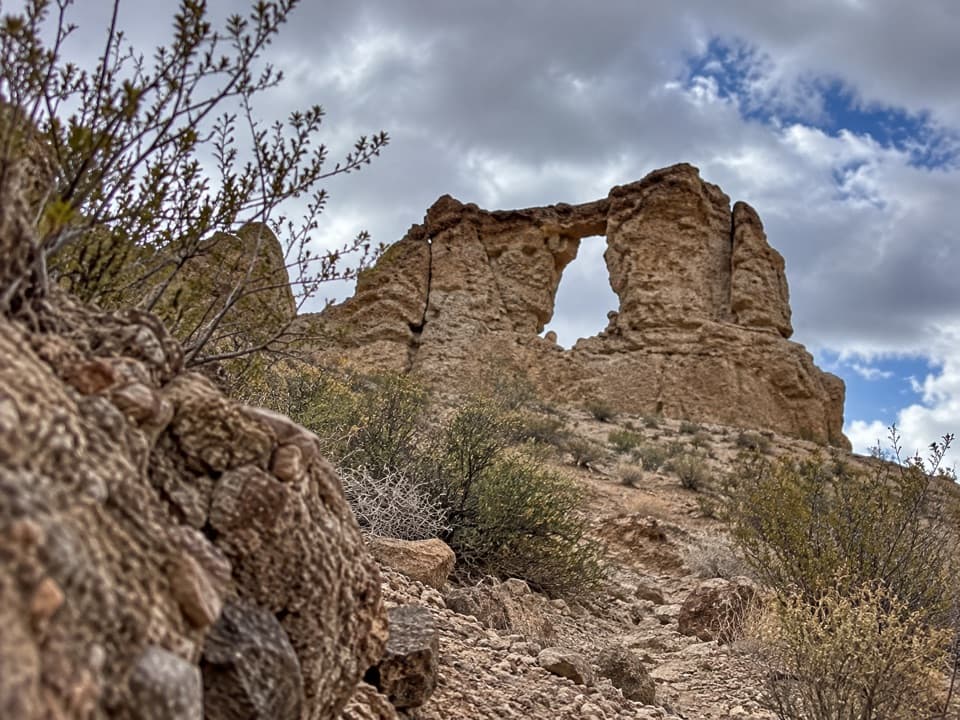
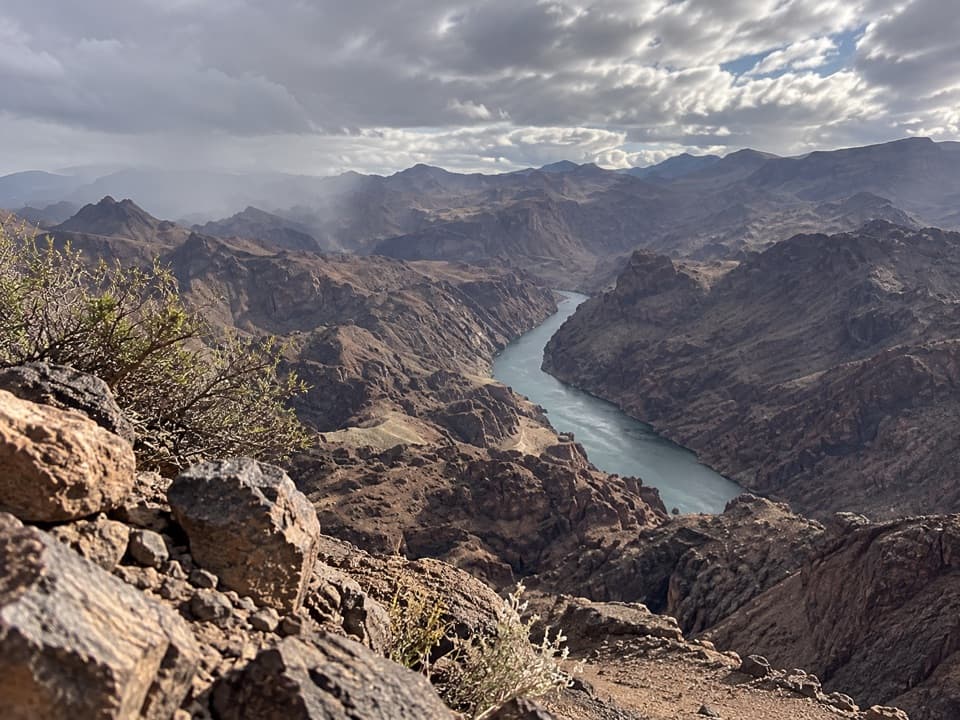
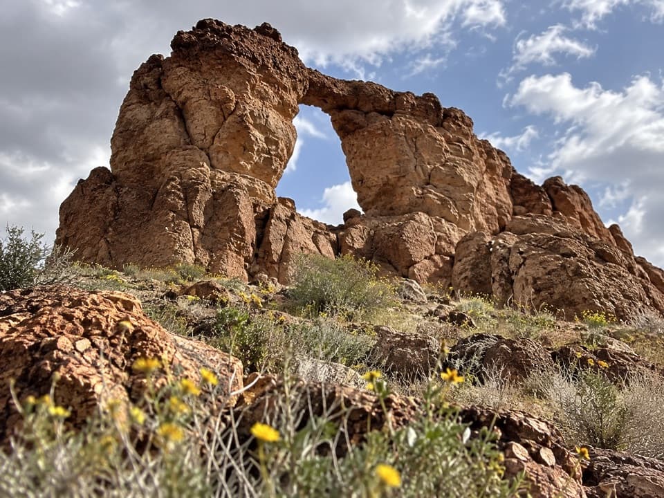
Liberty Bell Arch is the Mojave Desert doing a great impression of Philadelphia—an elegant stone arch with a convincing “clapper,” tucked into pale cliffs above Black Canyon. It’s a rewarding, moderate outing that delivers two payoffs: the arch itself and a high overlook with big views toward the Colorado River.

Route and highlights

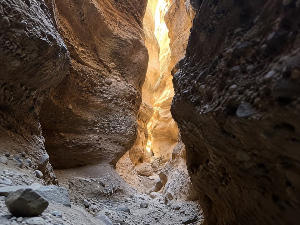
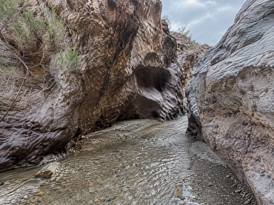
You’ll start from the same access as Arizona Hot Springs/White Rock Canyon and follow a sandy wash before climbing in and out of desert hills. Expect a few signed junctions but also some vague sections where multiple social paths braid—stay attentive. The arch stays hidden until the trail bends south; it’s best viewed from a signed overlook to its southwest rather than scrambling beneath it. Many hikers continue beyond the arch to a Colorado River/Black Canyon viewpoint and then return the same way.

What to expect

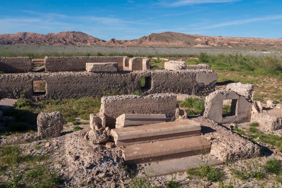
Terrain alternates between soft sand, rocky benches, and short climbs that add up. Cell service is spotty, signage can be sparse or shifted by floods, and there’s zero shade—start early and plan like you’re in a true desert. There is no river access from this trail. You’ll pass remnants of WWII‑era magnesium mining, including old tram lines and scattered infrastructure—interesting to see, but leave artifacts where they are.

History & geology

The arch formed over long periods of wind and water carving weaker layers from tougher rock, leaving a freestanding span that happens to mimic the Liberty Bell—“clapper” and all. In contrast to the arch, the human story here is recent: this corner of Black Canyon once supported magnesium mining, whose relics you’ll spot along the way.

Wildlife

Typical Mojave cast: lizards skittering across warm rock, snakes in the washes, and birds of prey riding thermals above the canyon. Watch where you place hands and feet, give all wildlife space, and keep to durable surfaces.

Best time to visit

October through May is the sweet spot. Aim for early mornings on weekends (the shared trailhead draws a crowd) or midweek for quieter trails. Light is soft and flattering within a couple hours of sunrise and again late afternoon; midday tends to be harsh and hot. Avoid hot-season afternoons and be mindful of storms—washes can run after rain.

Photography tips

The arch’s best profile is from the overlook to its southwest; from directly below it can lose the bell shape. A short telephoto compresses the span nicely against the pale cliffs, while wider lenses shine at the river overlook.

Safety & etiquette

Carry ample water and electrolytes, protect yourself from the sun, and download a map before you lose service. Stay off the arch itself, stick to established paths, and don’t enter or disturb any mining remains.

Pros

  • Striking bell-shaped natural arch with a clear viewing perch
  • Bonus overlook toward Black Canyon and the Colorado River
  • Historic mining relics add interest along the route

Cons

  • Full sun and heat exposure with virtually no shade
  • Route-finding can be confusing through braided washes
  • No water or restrooms at the trailhead or on the route

Tips

  • Start early in cool months; this route bakes in full sun.
  • Download an offline map—cell service is unreliable in the washes.
  • Bring 2–3 liters of water per person and add electrolytes.
  • Use trekking poles for sandy climbs and descents.
  • View from the southwest overlook and skip scrambling on the arch.
The Parkwolf tour guide sitting on a phone mounted in a car

Parkwolf Tour Guide

Like a tour guide in your car.

Save the places you found around Lake Mead, then let Parkwolf guide the drive between them.Download Parkwolf on the App Store