
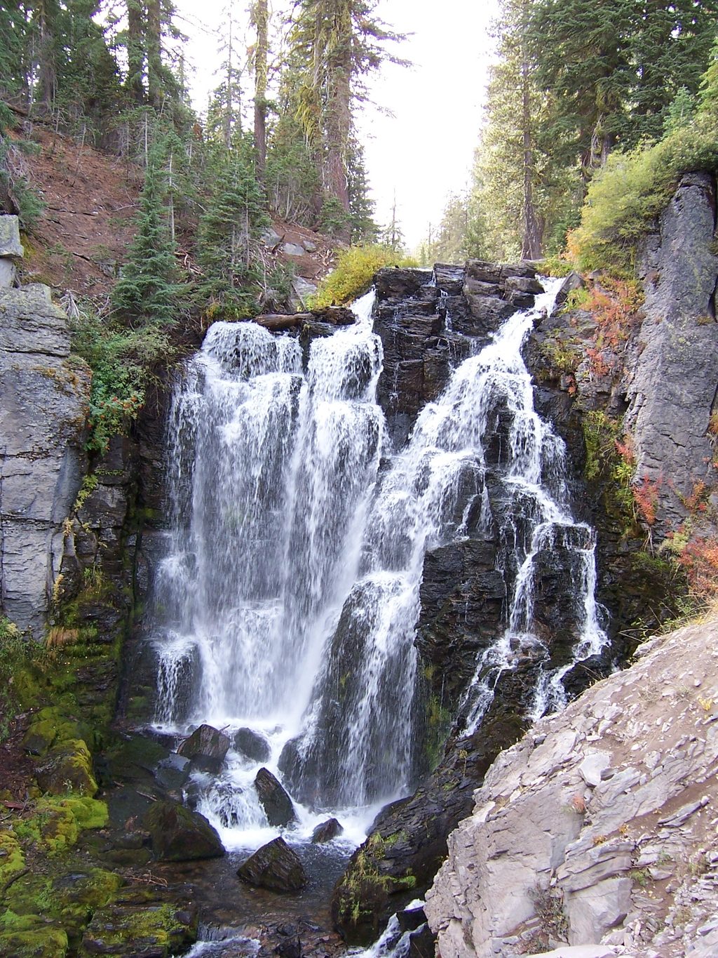
Place · 0.4 mi away
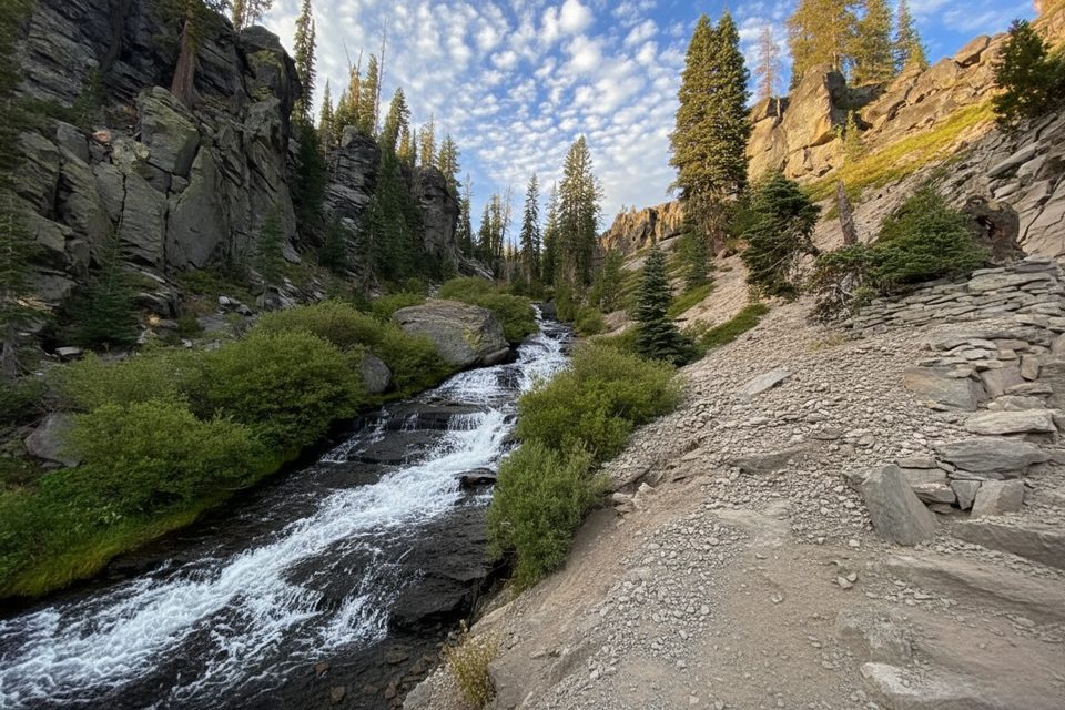
Upper Cascades Viewpoint isn’t a single platform—it’s a string of scenic perches along the Upper Cascades side of the Kings Creek Falls Loop. You’ll stroll beside chutes and pools of Kings Creek, with wide‑open vistas down the drainage before reaching the fenced falls overlook. It’s one of the park’s most satisfying short walks if you like moving water and big alpine views.
From the Kings Creek Falls Trailhead, a mellow approach leads to a loop split. Take the left fork (clockwise) to follow the Upper Cascades: hard‑packed dirt, occasional dusty or slippery sections, and frequent pull‑offs where the creek tumbles over polished rock. The return is typically via the one‑way‑uphill Cascades Foot Trail—a steep stair‑step climb beside the creek that feels tougher at high elevation.
Plan on roughly 2.3 miles round trip and 90 minutes to 2 hours with photo stops. You’ll descend a few hundred feet to the falls and earn it back on the climb out. The grade and altitude make this feel more strenuous than the mileage suggests.
Stay on trail and behind railings near the waterfall—spring and early summer flows are powerful, and off‑trail travel near the water is dangerous. The Cascades Foot section is uphill‑only; expect narrow rock steps. Pets aren’t allowed on this trail. Bears are occasionally sighted—carry your snacks smartly and follow posted guidance.
There are no facilities at the cascades overlooks or the informal pullouts. For pit toilets and picnic tables, use the Kings Creek Picnic Area north of the trailhead when the road is open. Roadside meadow turnouts near Kings Creek Upper Meadow often serve as overflow parking for this hike.
June through October is typical once the park highway opens, though snow can linger into early summer. For parking and thinner crowds, arrive early or come on a weekday. Light is softest for photography in the morning when the creek’s cascades are evenly lit; late afternoon can create harsh contrast in the gorge.
Place · 0.4 mi away
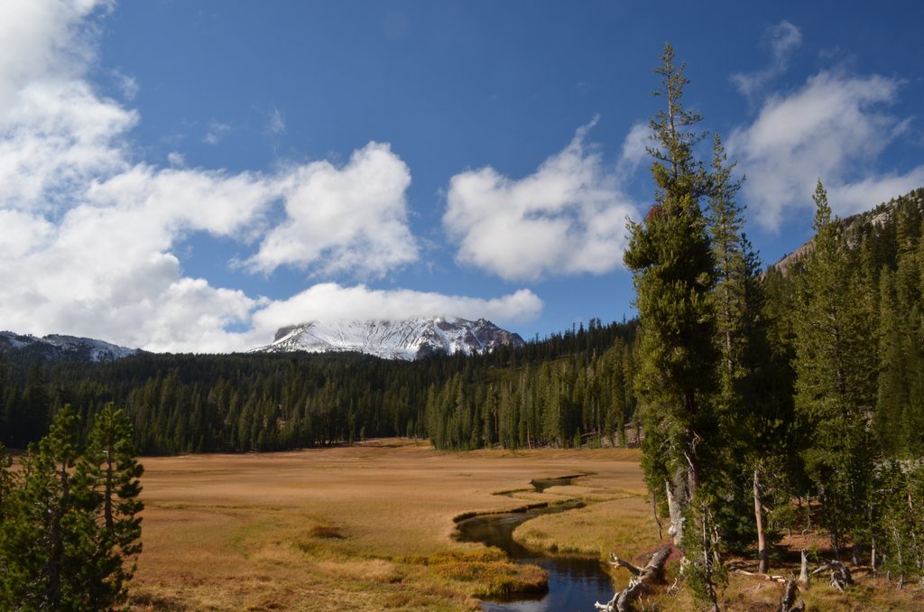
Place · 1 mi away
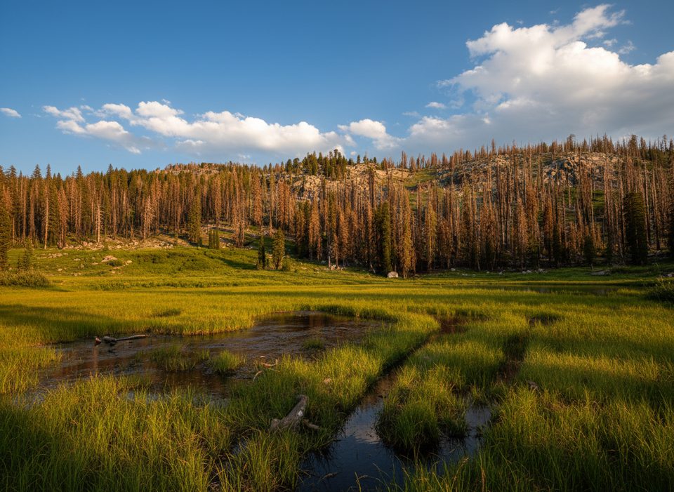
Place · 1.5 mi away
Place · 1.6 mi away
Moderate · 0.6 mi away
Easy · 1.5 mi away
Easy · 1.5 mi away
Easy · 2.6 mi away

Parkwolf Tour Guide
