Facilities
The facilities are basic: picnic tables, charcoal disposal, and pit toilets.
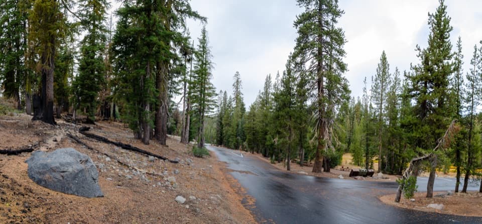
Picnic area · Lassen Volcanic National Park
A shaded picnic stop with a short walk to a bubbling lake.
Overview
Map
Plan your stop

The highest, rockiest slopes around here are a summer buffet for grizzly bears.
Lassen Volcanic Tour Guide
Parkwolf is a GPS audio tour guide for Lassen Volcanic National Park. As you drive, it chimes in with what’s ahead: hidden gems, upcoming stops, history, geology, and wildlife, right through your car’s speakers.
See the Lassen Volcanic audio tourRecorded for this place
Kings Creek Picnic Area and Cold Boiling Lake“You're coming up on the turnoff for Kings Creek Picnic Area, a shaded place to stop for lunch near the creek.”
Plays as you drive up to Kings Creek Picnic Area in the Parkwolf Lassen Volcanic Tour Guide.
More stories near here in the app
“Fantastic app with many points of information… It’s great to just turn on while you’re driving and it gives you an audio tour of the national Park. We love it!!!!”


Guide
Kings Creek Picnic Area is a roadside picnic stop off the Lassen Volcanic National Park Highway, with tables under conifers near Kings Creek. It’s an easy place to pause for lunch or stretch your legs. The same turnoff starts the Cold Boiling Lake walk, so a quick break can become a 1.6-mile round trip. The picnic area is reached by a short turnoff about half a mile north of Kings Creek Meadow Viewpoint; the Kings Creek Falls trailhead is a separate stop farther south.
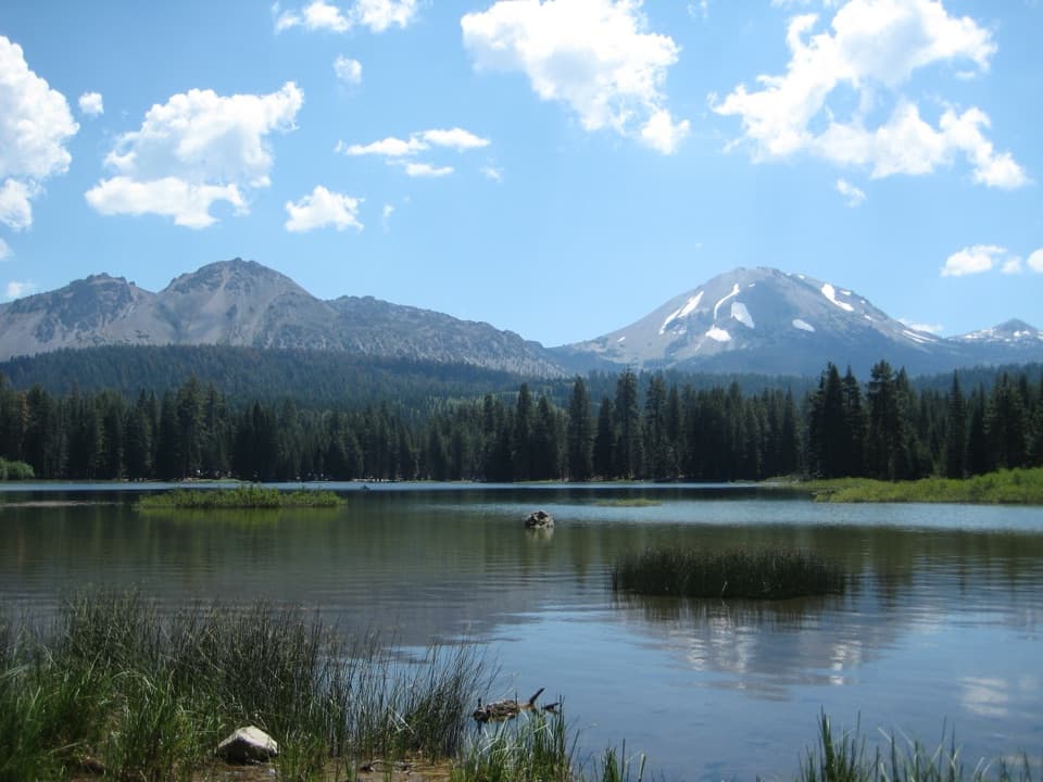
The trail begins here at 7,400 feet. Cold Boiling Lake is 0.8 mile each way along a fairly level path, adding 1.6 miles at that elevation. Small gas bubbles still rise from spots along the shore, a remnant of the lake’s fading hydrothermal activity. Crumbaugh Lake is 1.3 miles one way from the picnic area if you want to continue.
Wildlife
 103 sightingsBlack BearMost seen around 7 PMSighting map
 44 sightingsBald EagleMost seen around 7 AMSighting map
 348 sightingsMule DeerMost seen around 7 PMSighting map
 17 sightingsSandhill CraneMost seen around 6 AMSighting map
 47 sightingsGreat Blue HeronMost seen around 7 AMSighting map
 12 sightingsGreat EgretMost seen around 7 AMSighting map
Sighting maps show where each species has been reported across Lassen Volcanic. Wildlife moves, so no sighting is guaranteed.
Keep exploring
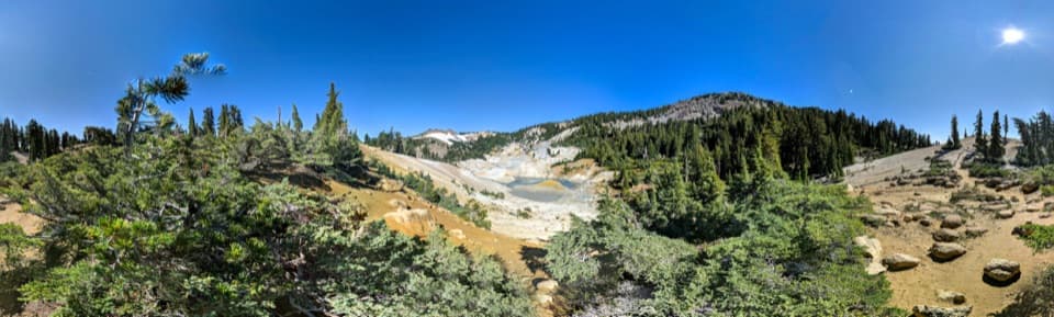 ModerateBumpass Hell via Cold Boiling Lake5.2 mi · 3 hr · 0.2 mi awayHike to Bumpass Hell from the east, via Cold Boiling Lake.
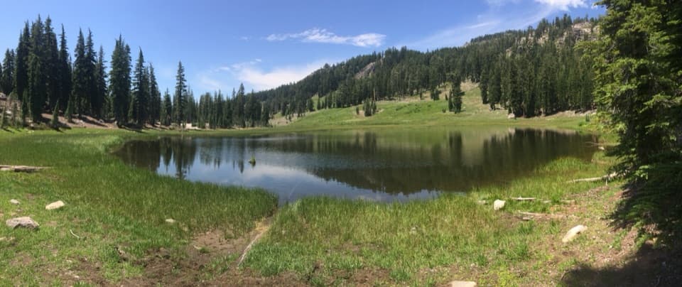 EasyCold Boiling Lake Trail1.6 mi · 54 min · 0.2 mi awayA short, mostly level walk to a lake that may still bubble.
 EasyCrumbaugh Lake Trail2.6 mi · 1.5 hr · 0.6 mi awayTwo lakes, muted bubbles, and a meadow below Mount Conard.
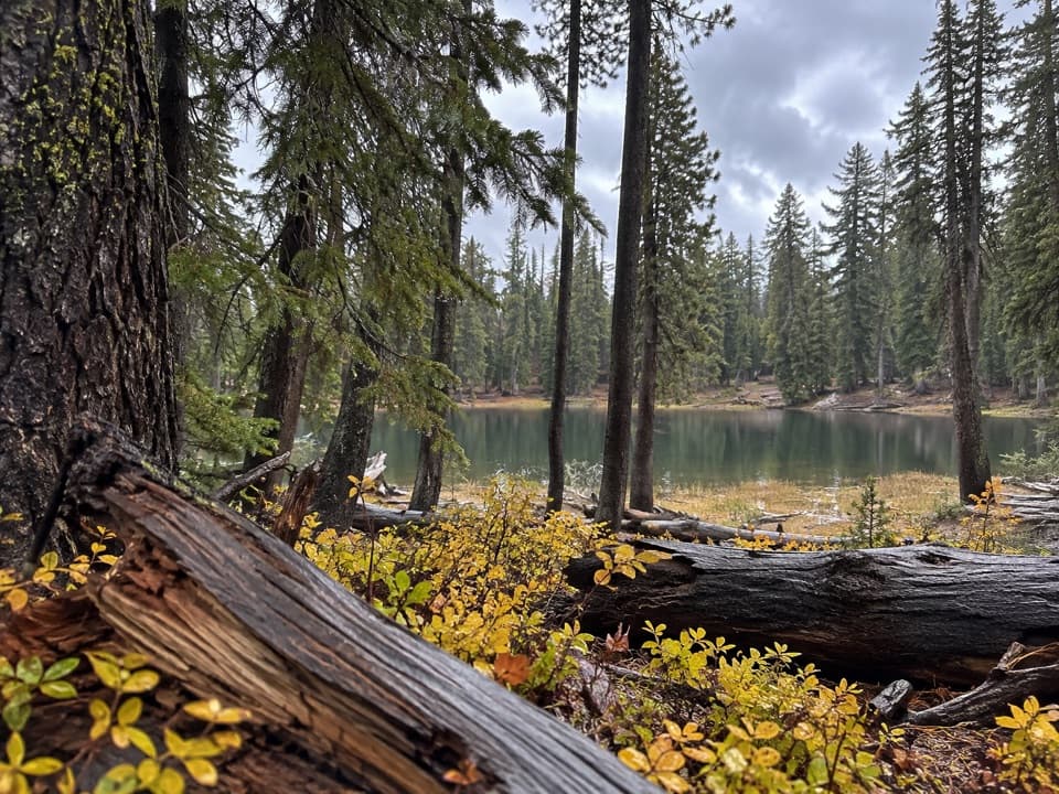 ModerateBench Lake Trail3.8 mi · 2.3 hr · 0.8 mi awayA small lake below cliffs after a bridge over Kings Creek.
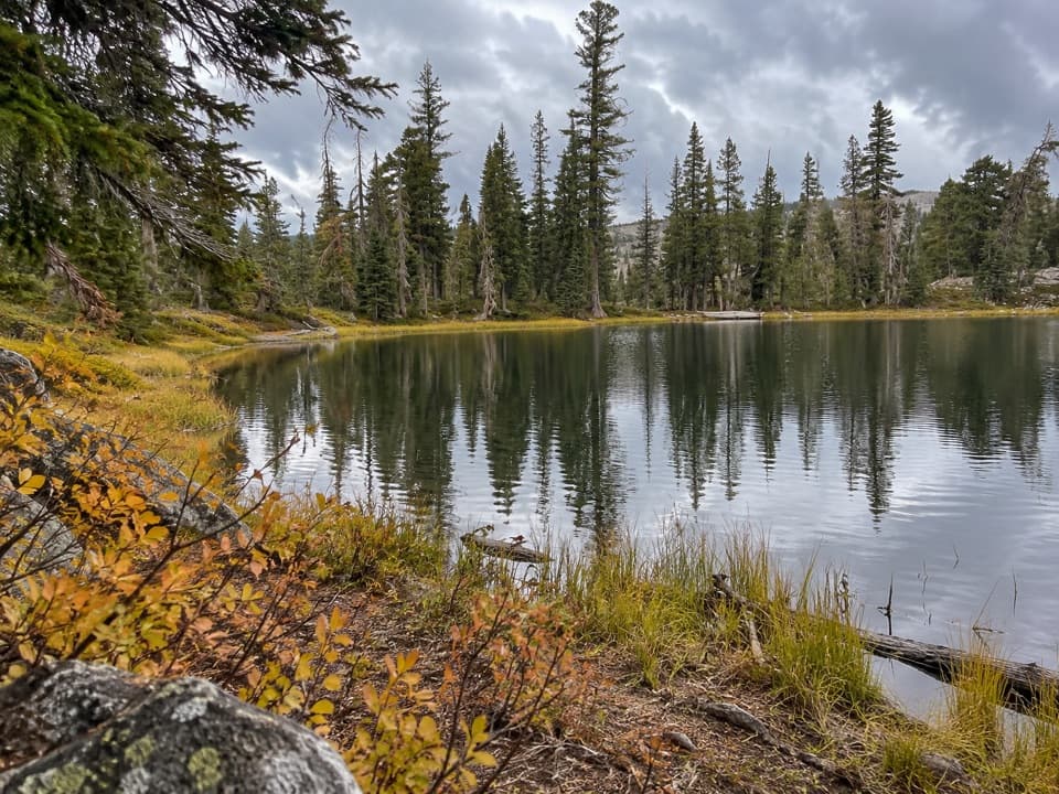 ModerateSifford Lakes Trail6.4 mi · 3.5 hr · 0.8 mi awayA creekside loop links a 50-foot falls to high-country lakes.
 ModerateKings Creek Falls Trail2.8 mi · 2 hr · 0.8 mi awayA waterfall loop ends beside the creek on steep stone stairs.
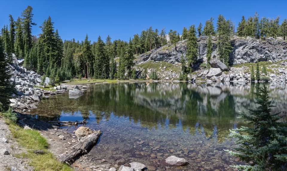 ModerateTerrace, Shadow, and Cliff Lakes Trail3.4 mi · 3 hr · 1.2 mi awayThree alpine lakes, a steep return, and Lassen Peak views.
 ModerateShadow Lake Shuttle Trail3.7 mi · 2.5 hr · 1.2 mi awayThree lakes, then a mostly downhill walk to Summit Lake
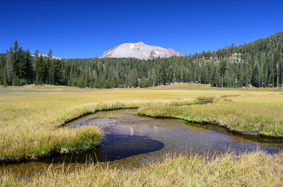 Scenic pullout · 0.3 mi awayKings Creek Meadow ViewpointA winding creek crosses a seasonal meadow beneath Lassen Peak.Sight · 0.6 mi awayCold Boiling LakeA short hike to a high-country lake with shy gas bubbles.
 Sight · 1.5 mi awayBumpass HellWalk boardwalks among bubbling pools and steaming vents in a 16-acre basin.
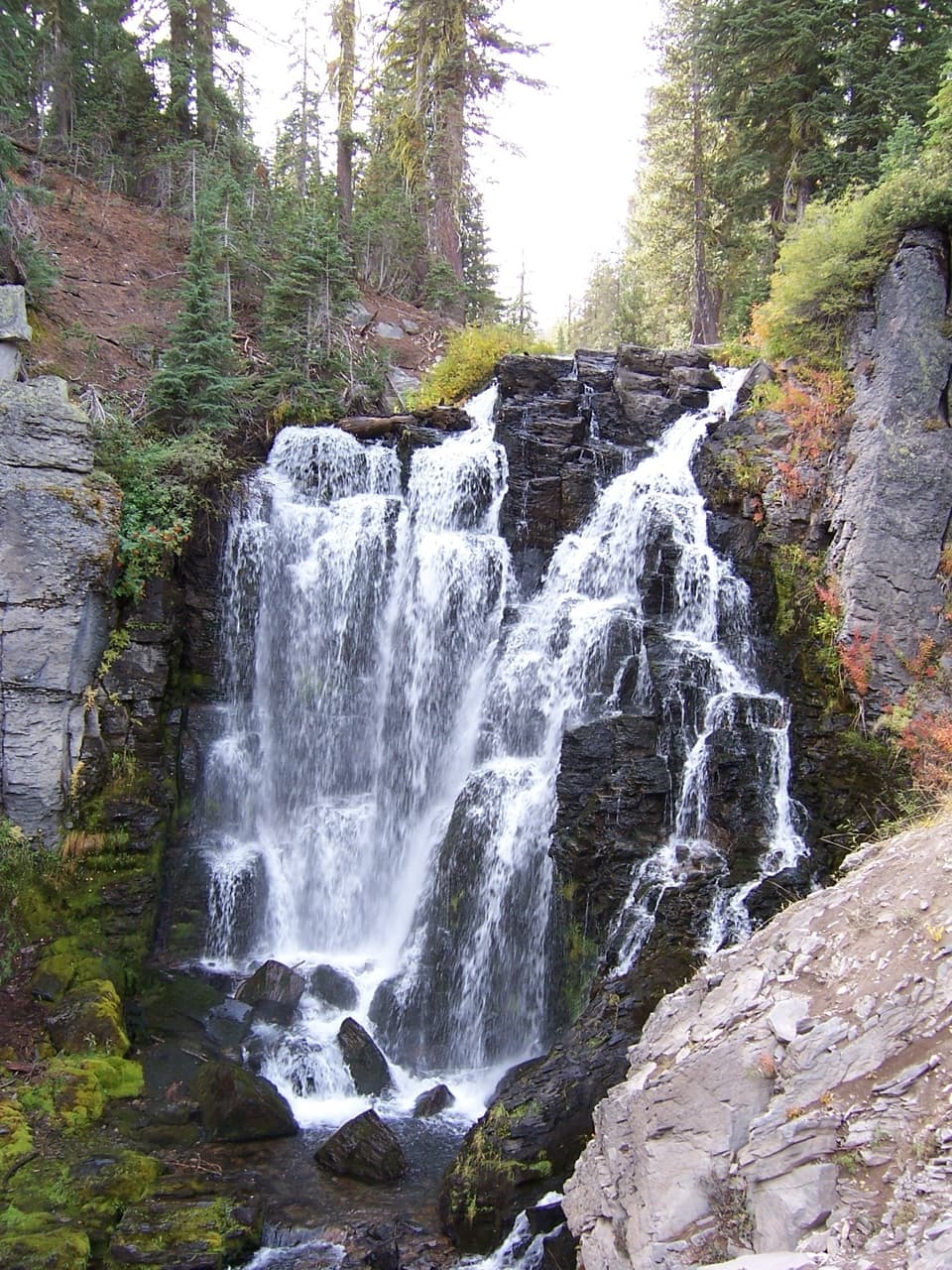 Sight · 1.7 mi awayKings Creek FallsThe creekside stone steps are half the payoff.
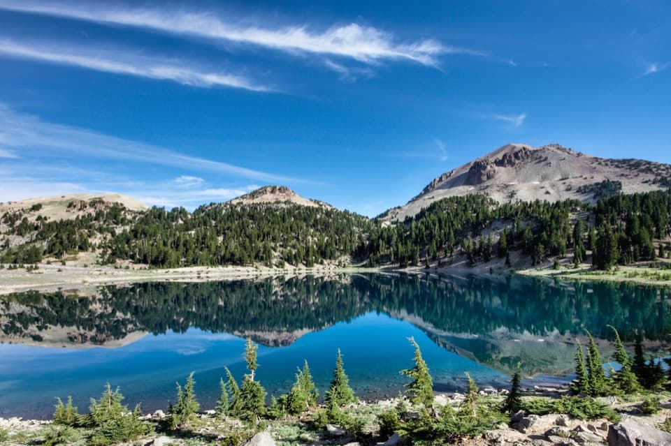 Sight · 1.9 mi awayLake HelenA blue alpine lake beneath Lassen Peak can stay icy into summer.
 Scenic pullout · 1.9 mi awayLassen Peak Scenic VistaA roadside portrait of Lassen Peak without the summit hike.
 Scenic pullout · 2.2 mi awayBrokeoff Volcano VistaA glacial boulder below the rim of an ancient volcano.
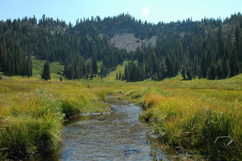 Sight · 2.2 mi awayParadise MeadowsA stream threads a high meadow beneath a rocky glacial bowl.
Parkwolf’s Lassen Volcanic ranking

The audio tour guide for the drive, plus offline maps, trails, and wildlife heatmaps for when the signal drops.