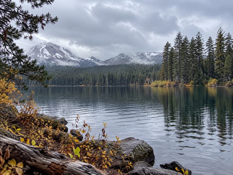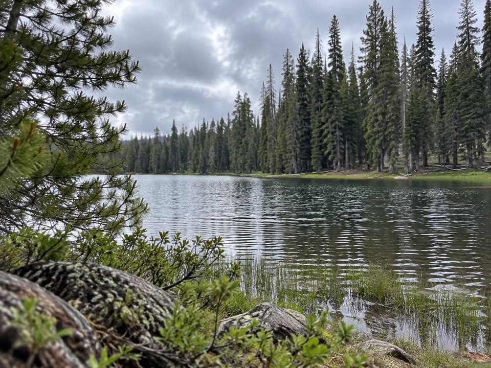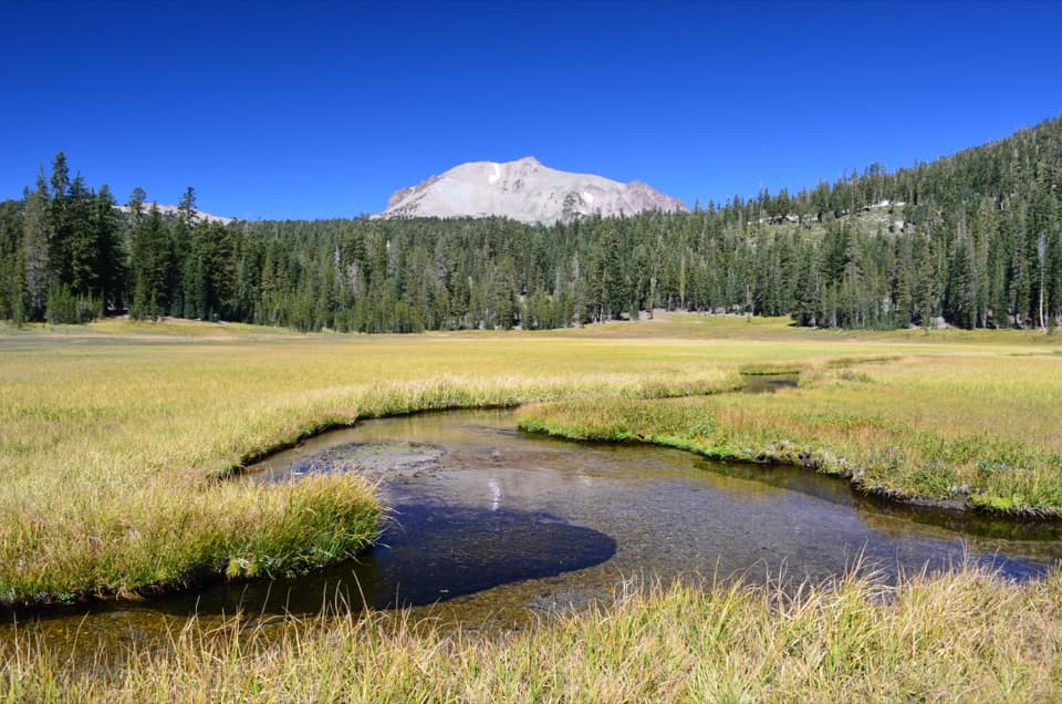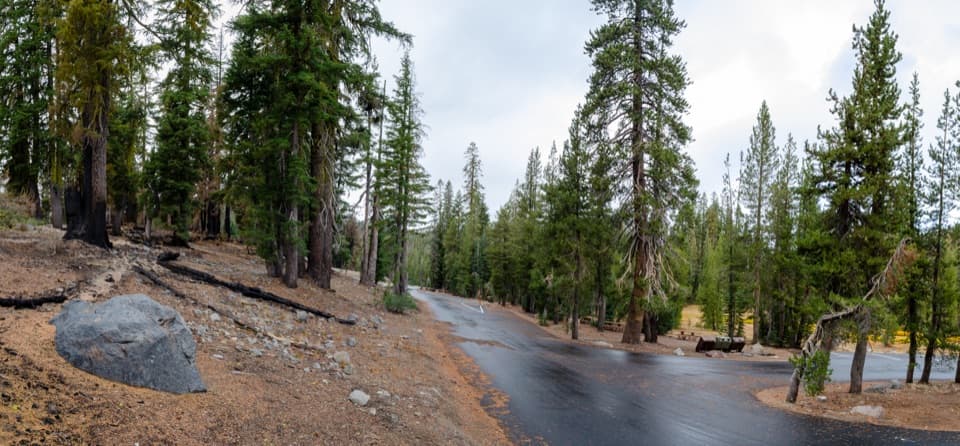
Kings Creek Falls in Lassen Volcanic National Park

#9 of 37 sights in Lassen Volcanic

Sight · Lassen Volcanic National Park

Kings Creek Falls

The creekside stone steps are half the payoff.

Photo: National Park Service
Type
Sight
Nearest trail
1 mi
Audio stories
5 nearby
  • Trailhead
  • Parking
  • Scenic viewpoint

Hear the audio tour

Kings Creek Falls: Cascades and Stone Steps

Overview

About Kings Creek Falls

Why stop

  • Creek and cascades make the route rewarding beyond the main fall.

Heads up

  • The loop’s steep stone-step return can be a hard climb.
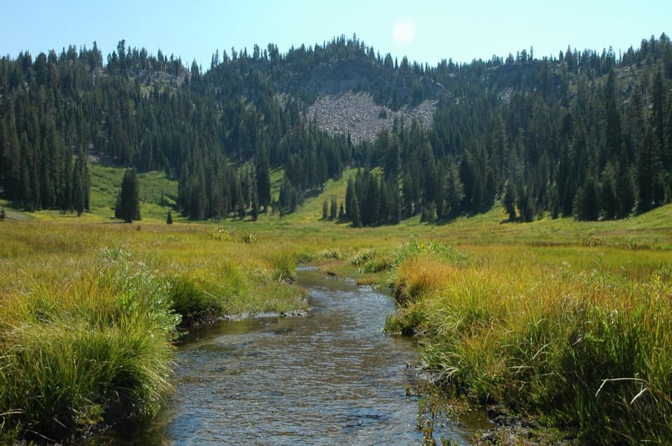
Kings Creek Falls is a tiered waterfall on Kings Creek in Lassen Volcanic’s high country. You reach its fenced overlook on foot; the map point marks the viewing area, not the roadside trailhead. The meadow, creek and side cascades are part of the outing, so this is a better pick for someone who wants a real hike than for a quick roadside stop. Published route distances differ: one listing gives a 2.3-mile loop, while the trail table lists 2.8 miles. Allow about two hours and some slack.
Parkwolf’s verdictA waterfall worth the walk

Map

Where it is

Loading the Lassen Volcanic map
Full map
SightKings Creek Falls40.45972, -121.44119
Keep this map with you offline in the Parkwolf app

Plan your stop

Before you go

Best time to go

The park highway usually closes in winter and early spring, roughly December through May, and snow can linger on this trail into June or July. The hiking season is generally June through October. Parking is very limited along the road and often fills by mid-morning; an early start or weekday gives you a better chance. There’s no separate fee to hike, though park entry requires an entrance fee or valid pass.

1 active Lassen Volcanic alert

  • ClosureJuniper Lake campground and day-use area closedJuniper Lake Campground and day-use area are closed for maintenance and campground-improvement projects. - Potable water is unavailable in the campground.Official details
Lassen Volcanic alerts
A park ranger sits on a dash-mounted phone, talking, as Parkwolf’s Tour Guide plays “Army Cutworm Moths: A Grizzly Bear Buffet” on Grand Loop Road below Dunraven Pass in Yellowstone
Parkwolf Tour GuideThe highest, rockiest slopes around here are a summer buffet for grizzly bears.

Lassen Volcanic Tour Guide

Your drive to Kings Creek Falls, narrated.

Parkwolf is a GPS audio tour guide for Lassen Volcanic National Park. As you drive, it chimes in with what’s ahead: hidden gems, upcoming stops, history, geology, and wildlife, right through your car’s speakers.

See the Lassen Volcanic audio tour

Recorded for this place

Kings Creek Falls: Cascades and Stone Steps
0:00 / 0:24
“Kings Creek Falls trailhead is coming up, the start of a two-hour hike through meadow and cascades to a fenced waterfall overlook. Expect roughly two to three miles, with a steep climb back.”

Plays as you drive up to Kings Creek Falls in the Parkwolf Lassen Volcanic Tour Guide.

More stories near here in the app

  • From Snow to Steam
  • Why Snow Turns Pink
  • Kings Creek Meadow: A Roadside Wildlife Pause
  • Kings Creek Picnic Area and Cold Boiling Lake
  • 45 audio storiesacross Lassen Volcanic’s roads, triggered by GPS as you drive
  • Wildlife heatmapsfor Black Bear, Bald Eagle, Mule Deer, and 13 more
  • Works offlinemaps, 59 trails, 56 places, and audio download before you lose signal
  • CarPlay readysimple controls built for the drive
★★★★★
“Fantastic app with many points of information… It’s great to just turn on while you’re driving and it gives you an audio tour of the national Park. We love it!!!!”
JMJamesApp Store review
Download Parkwolf on the App StoreGet Parkwolf on Google Play

4.7 from 8,600+ ratings

Guide

More about Kings Creek Falls

Choose your way backThe first half-mile follows Lower Kings Creek Meadow.

The first half-mile follows Lower Kings Creek Meadow. The loop then heads clockwise down Upper Cascades to the falls. From the fenced overlook, you can return the same way or climb back on Cascades Foot, a narrow, steep stone stairway beside the creek. That stairway is uphill only. It’s a tiring finish, but the tumbling water makes it part of the show; don’t descend it.

The footing is realThe trail starts around 7,300 feet and is mostly hard-packed dirt, with slopes, loose or…

The trail starts around 7,300 feet and is mostly hard-packed dirt, with slopes, loose or slippery patches and a seasonal marsh crossing on a log bridge. The park doesn’t recommend the hike for people with mobility impairments. High elevation can aggravate some health conditions, so carry water and take breaks. Pets aren’t allowed on park trails; service animals assisting a person with a disability are permitted.

A name from the meadowAn NPS history timeline places James M.

An NPS history timeline places James M. King in Kings Creek Meadows in the 1860s, raising horses and mules. Local history links the creek, meadow and falls to James and Jane King and records their son Oscar’s birth in the meadow in 1879.

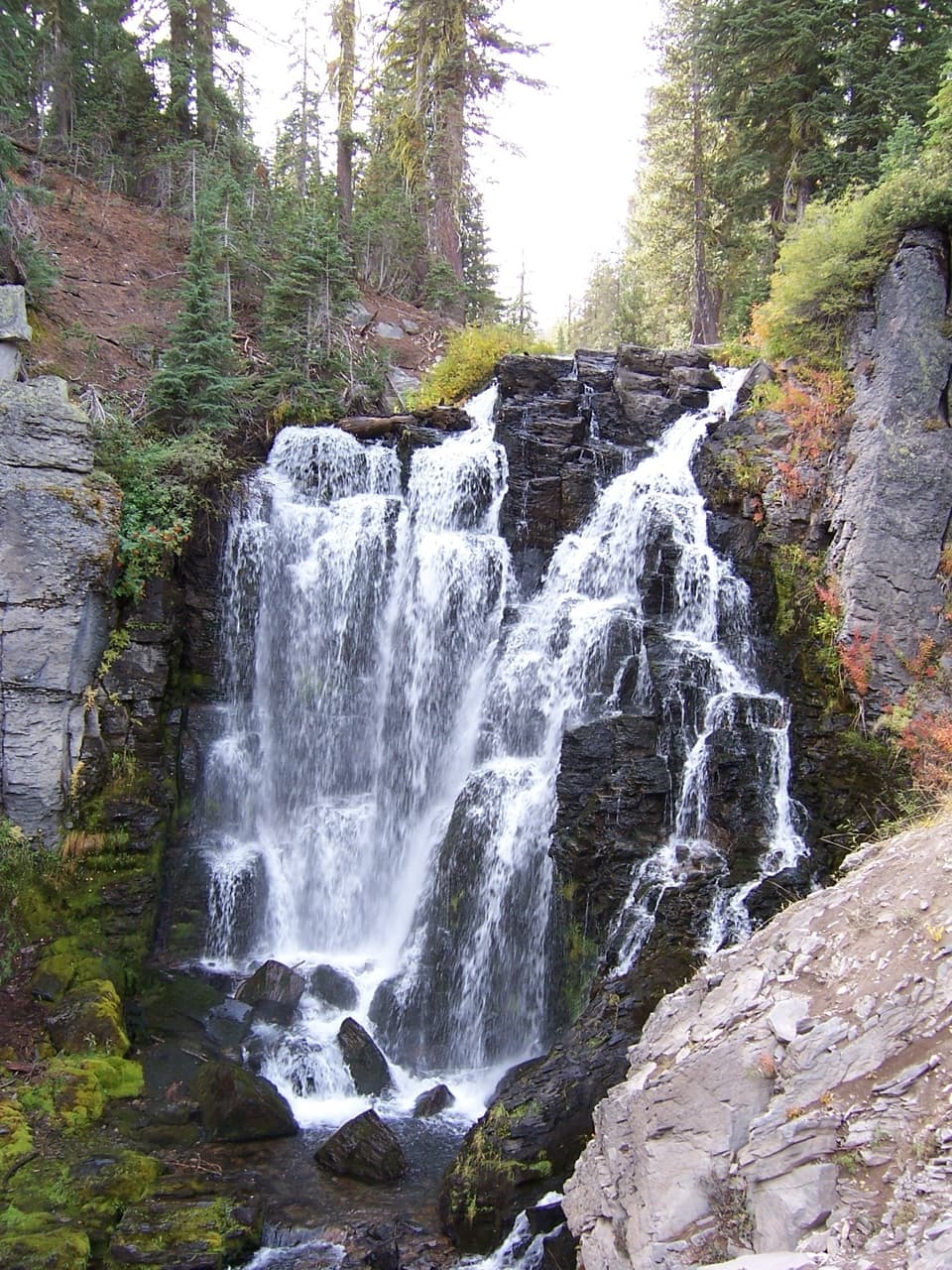
Read the shape of the fallsKings Creek splits into several ribbons over jagged dark bedrock and basalt knobs.

Kings Creek splits into several ribbons over jagged dark bedrock and basalt knobs. In lower summer flow, you can make out the separate tiers; spring snowmelt can hide them under stronger water and make creek crossings dangerous. For a photo, include some of the broken rock around the falls so the split channels show clearly. Take it from behind the overlook railing and stay on the trail.

Wildlife

Wildlife in Lassen Volcanic

All Lassen Volcanic wildlife maps

Sighting maps show where each species has been reported across Lassen Volcanic. Wildlife moves, so no sighting is guaranteed.

Keep exploring

Near Kings Creek Falls

See it all on the map

Trails nearby

More stops nearby

Parkwolf’s Lassen Volcanic ranking

Top sights in Lassen Volcanic

All 56 places
  1. 1Bumpass HellSight
  2. 2Lassen PeakSight
  3. 3Sulphur WorksSight
  4. 4Cinder ConeSight
  5. 5Lake HelenSight
  6. 6Manzanita LakeSight

Take Parkwolf to Lassen Volcanic.

The audio tour guide for the drive, plus offline maps, trails, and wildlife heatmaps for when the signal drops.

4.7 from 8,600+ ratings

Download Parkwolf on the App StoreGet Parkwolf on Google Play