Devils Kitchen in Lassen Volcanic National Park

Sight · Lassen Volcanic National Park

Devils Kitchen

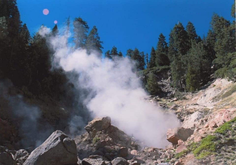
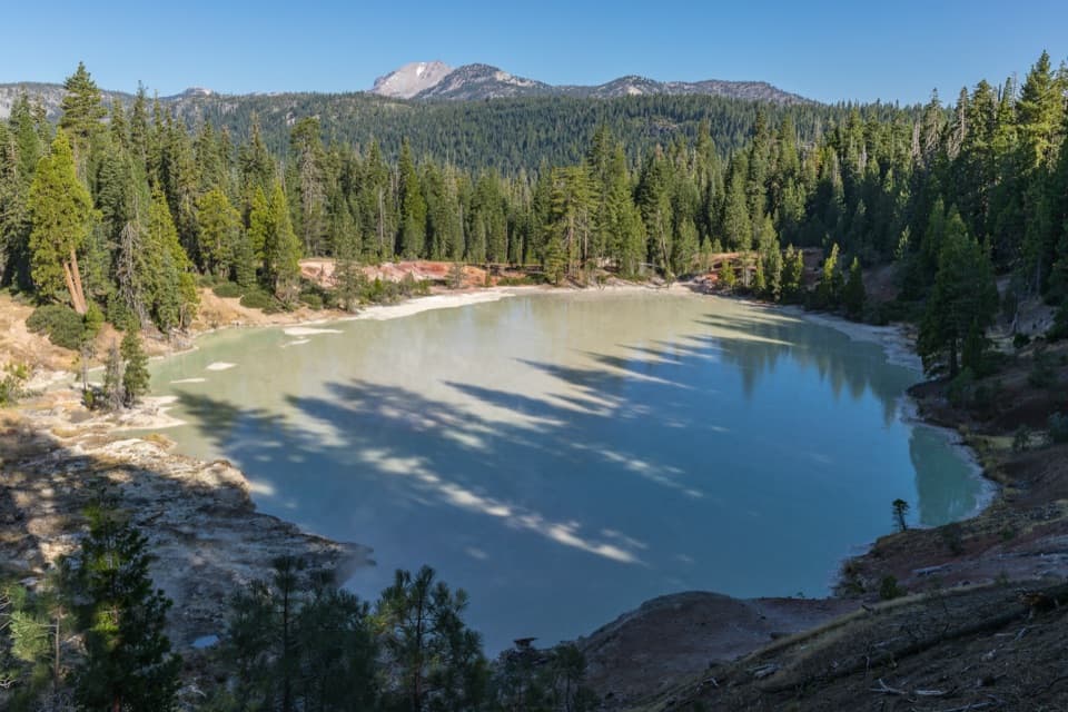
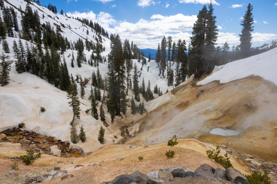
Bubbling pools and steam after a longer Warner Valley hike.

Photo: Wikimedia Commons
Type
Sight
Nearest trail
1.8 mi
Audio stories
2 nearby
  • Trailhead
  • Parking
  • #11 of 37 sights

Hear the audio tour

Warner Valley and Drakesbad

Overview

About Devils Kitchen

Why stop

  • Lassen’s second-largest hydrothermal area, with springs, mudpots and vents.

Heads up

  • A moderate 4.2-mile round trip for a short basin loop.

Map

Where it is

Loading the Lassen Volcanic map
Full map
SightDevils Kitchen40.44191, -121.43452
Keep this map with you offline in the Parkwolf app

Plan your stop

Before you go

1 active Lassen Volcanic alert

  • ClosureJuniper Lake campground and day-use area closedJuniper Lake Campground and day-use area are closed for maintenance and campground-improvement projects. - Potable water is unavailable in the campground.Official details

Lassen Volcanic alerts
A park ranger sits on a dash-mounted phone, talking, as Parkwolf’s Tour Guide plays “Army Cutworm Moths: A Grizzly Bear Buffet” on Grand Loop Road below Dunraven Pass in Yellowstone
Parkwolf Tour GuideThe highest, rockiest slopes around here are a summer buffet for grizzly bears.

Lassen Volcanic Tour Guide

Your drive to Devils Kitchen, narrated.

Parkwolf is a GPS audio tour guide for Lassen Volcanic National Park. As you drive, it chimes in with what’s ahead: hidden gems, upcoming stops, history, geology, and wildlife, right through your car’s speakers.

See the Lassen Volcanic audio tour

Recorded for this place

Warner Valley and Drakesbad
0:00 / 0:36
“You're coming up on the Warner Valley trailhead, a starting point for meadow walks and hydrothermal hikes.”

Plays as you drive up to Devils Kitchen in the Parkwolf Lassen Volcanic Tour Guide.

More stories near here in the app

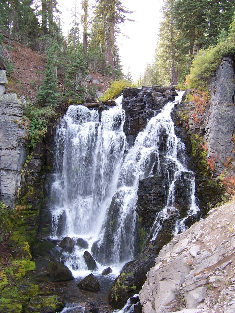
  • Kings Creek Falls: Cascades and Stone Steps
  • From Snow to Steam
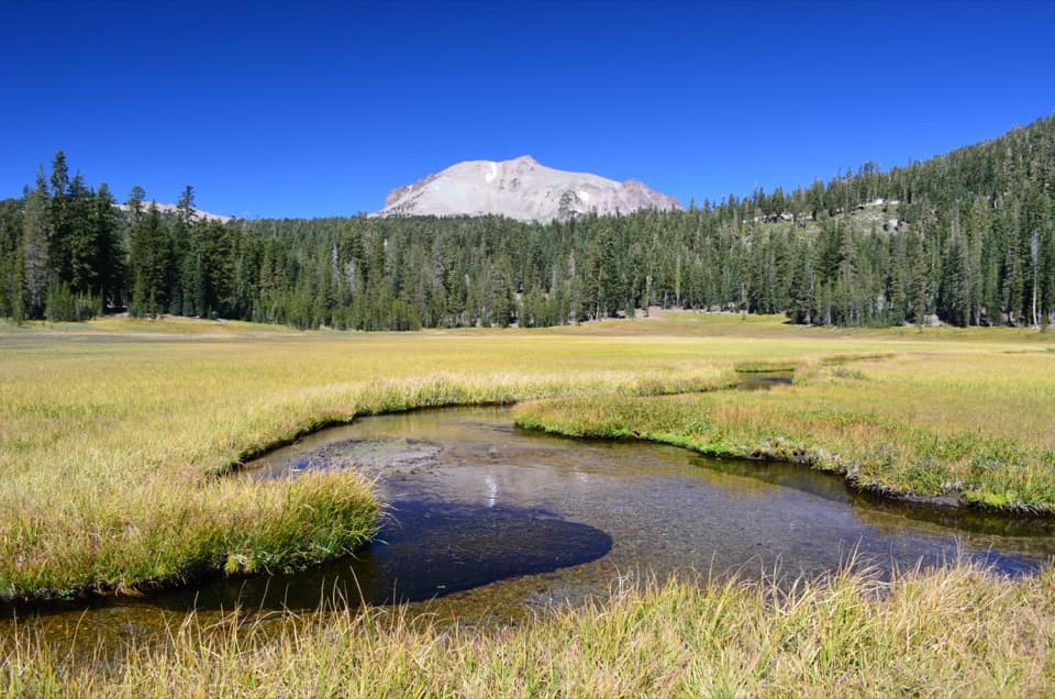
  • Kings Creek Meadow: A Roadside Wildlife Pause
  • Why Snow Turns Pink
  • 45 audio storiesacross Lassen Volcanic’s roads, triggered by GPS as you drive
  • Wildlife heatmapsfor Black Bear, Bald Eagle, Mule Deer, and 13 more
  • Works offlinemaps, 59 trails, 56 places, and audio download before you lose signal
  • CarPlay readysimple controls built for the drive
★★★★★
“Fantastic app with many points of information… It’s great to just turn on while you’re driving and it gives you an audio tour of the national Park. We love it!!!!”
JMJamesApp Store review
Download Parkwolf on the App StoreGet Parkwolf on Google Play

4.7 from 8,600+ ratings

Guide

More about Devils Kitchen

Make the hike for the basinDevils Kitchen is a hydrothermal basin in the park’s outlying Warner Valley, reached by a…

Devils Kitchen is a hydrothermal basin in the park’s outlying Warner Valley, reached by a moderate 4.2-mile round-trip hike. It’s Lassen’s second-largest hydrothermal area after Bumpass Hell, with boiling springs, hot streams, mudpots and steam vents around a short loop. Save it for a day when you want the geothermal features and a proper walk to reach them. The route takes about two hours and has roughly 440 feet of elevation change.

The Warner Valley approachStart at Warner Valley Trailhead.

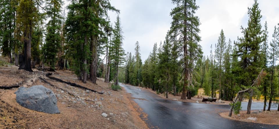
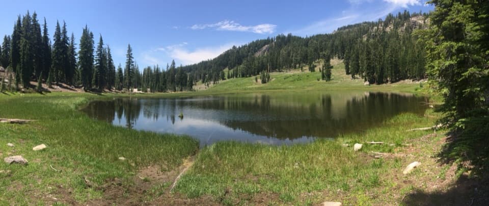
Start at Warner Valley Trailhead. The route crosses meadow on small bridges and boardwalks, passes the Dream Lake Basin junction, then follows Hot Springs Creek, climbs through forest and woodland, and crosses seasonal streams before dropping toward the basin. Reaching the trailhead means driving northwest from Chester on Feather River and Warner Valley roads; parts of the access are gravel, and trailers aren’t recommended. Parking is available at the trailhead.

Inside the loopA bridge leads into a compact field of cracked yellow and red mounds.

A bridge leads into a compact field of cracked yellow and red mounds. Look for boiling pools, mudpots and fumaroles, where steam escapes through openings in the ground. The small features make the basin fun to explore slowly: the heat is obvious, but each pool and vent has its own shape and sound.

Where the heat comes fromRain and snow falling on the highlands filter underground and are heated by hot rock beneath…

Rain and snow falling on the highlands filter underground and are heated by hot rock beneath Lassen Peak. The water boils back up in pools and mudpots; superheated steam rises through fractures as fumaroles. These features are signs that the Lassen Volcanic Center is still volcanically active.

Stay on the trailThe thin ground around thermal features can cover acidic boiling water or mud.

The thin ground around thermal features can cover acidic boiling water or mud. Stay on the marked path and boardwalk, and don’t touch or enter the water; the crust can give way and cause severe burns.

Frame the steam and waterFor a wide photo, put Hot Springs Creek in the foreground and the pale, steaming slopes behind…

For a wide photo, put Hot Springs Creek in the foreground and the pale, steaming slopes behind it. Then look for close details in the yellow mineral deposits and mudpots; they show the colors and textures that disappear in a broad view.

Wildlife

Wildlife in Lassen Volcanic

All Lassen Volcanic wildlife maps

Sighting maps show where each species has been reported across Lassen Volcanic. Wildlife moves, so no sighting is guaranteed.

Keep exploring

Near Devils Kitchen

See it all on the map

Trails nearby

More stops nearby

Parkwolf’s Lassen Volcanic ranking

Top sights in Lassen Volcanic

All 56 places
  1. 1Bumpass HellSight
  2. 2Lassen PeakSight
  3. 3Sulphur WorksSight
  4. 4Cinder ConeSight
  5. 5Lake HelenSight
  6. 6Manzanita LakeSight

Take Parkwolf to Lassen Volcanic.

The audio tour guide for the drive, plus offline maps, trails, and wildlife heatmaps for when the signal drops.

4.7 from 8,600+ ratings

Download Parkwolf on the App StoreGet Parkwolf on Google Play