Pros & cons
PROS
- Clockwise loop gives two distinct experiences: airy Upper Cascades and close-to-water stair climb
- Excellent, safe views from a dedicated overlook even during high flows
CONS
- One-way cascades section forces a steep uphill finish
- Burned sections offer little shade, making midday heat and sun exposure real factors
- Roadside parking is limited and there are no trailhead restrooms
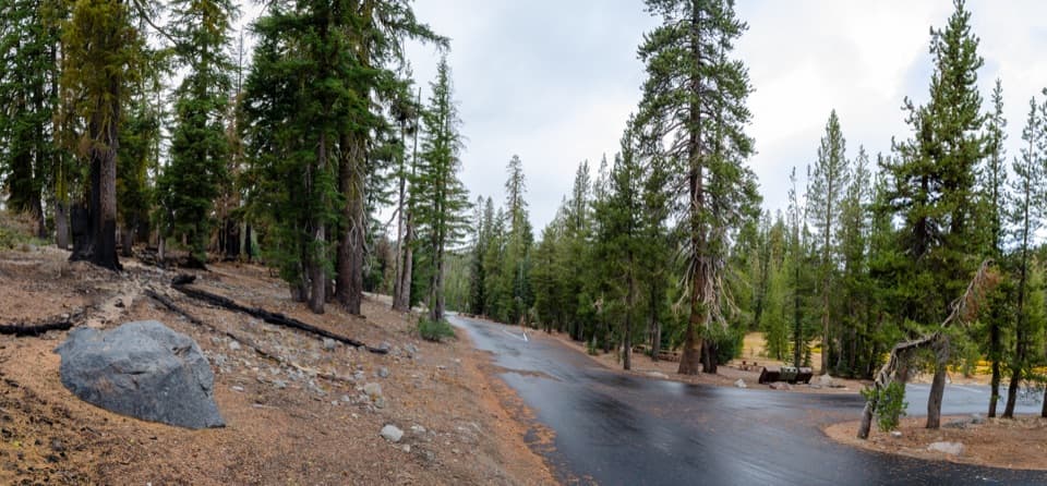
Roadside pullouts along the park highway about 12 miles from the Southwest Entrance; very limited. Arrive early and park fully off the white line on durable surfaces.
Steep one-way stone steps along cascades; slick rocks and strong currents near the falls; high elevation exertion; limited shade in burned areas; no restrooms at trailhead.
Overview
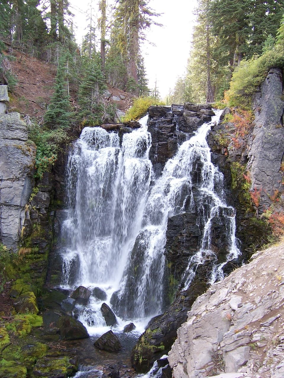
This is the classic waterfall hike in Lassen: a 2.3-mile total loop to a fenced overlook above a 30-foot drop on Kings Creek. Expect a surprisingly varied outing for the mileage—meadow, airy cascades, and a stout climb back out. If you only have time for one short waterfall hike in the park, this is it.
Route and What You’ll See
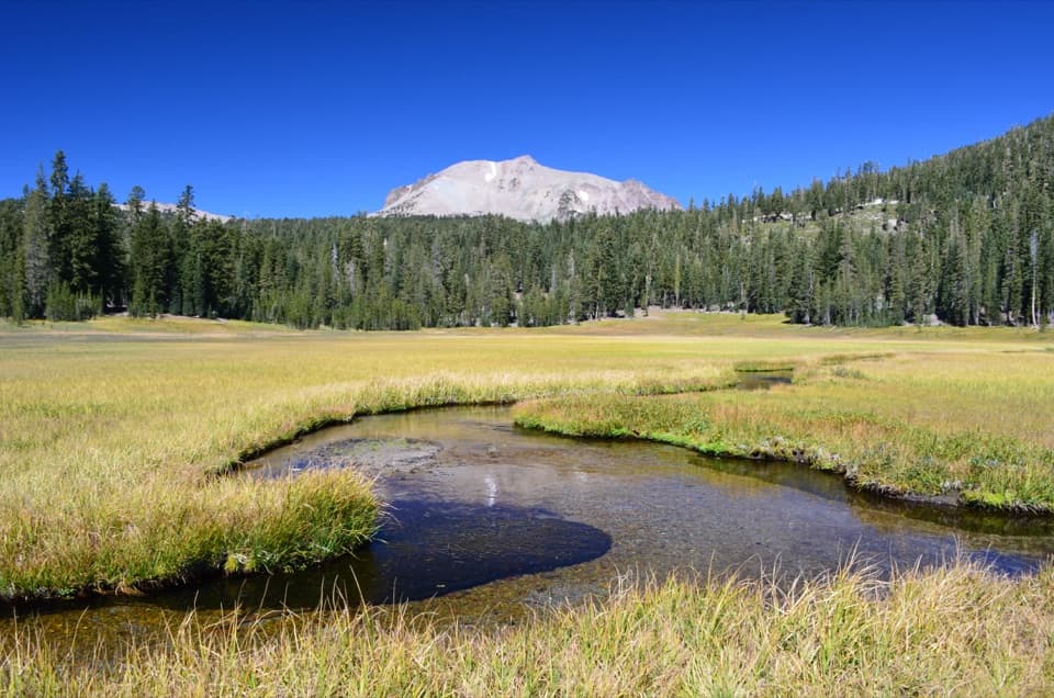
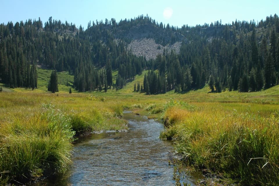
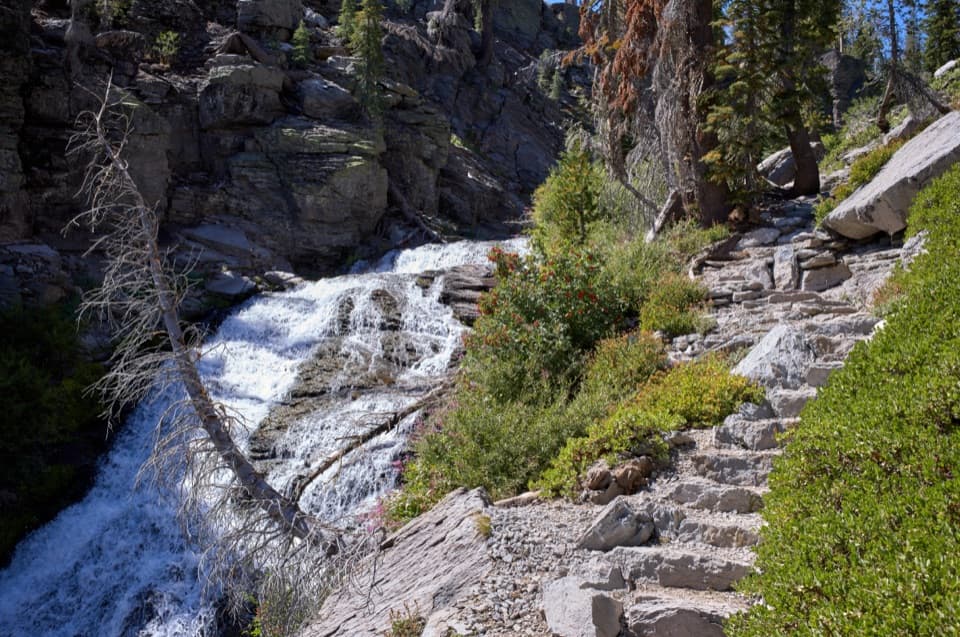
From the roadside trailhead, the first 0.5 mile glides through Lower Kings Creek Meadow before the trail splits. For the best flow, go clockwise: take the left fork along the Upper Cascades for big views and a steady descent to the signed waterfall overlook. In summer, lower water reveals a terraced look to the cascades that’s especially photogenic. Return either the way you came for an easier grade, or take the Cascades Foot section—a narrow, steep stone staircase that is one-way uphill only—right alongside the churning creek. Total hiking time is roughly 90 minutes to 2 hours depending on pace and photo stops.
Difficulty and Safety
You’ll lose and regain about 486 feet from a starting elevation around 7,300 feet, so the uphill finish can feel spicier than the stats suggest. The cascades stair section is steep, dusty or slick in spots, and includes large stone steps—trekking poles help. Stay behind railings at the overlook; scrambling to the base is dangerous, especially during spring snowmelt when rocks are slick and currents are strong. Bears are occasionally sighted—give wildlife space and secure food.
Best Time to Hike
The trail typically runs June through October, with snow lingering into early summer and sometimes into July. Mornings beat both the crowds and the sun, which can be intense where burned trees left little shade. Mid to late summer often delivers clearer, stepped cascades; early season brings bigger, wetter spray. Weekdays see fewer cars at the roadside pullouts.
Logistics and Tips
Parking is roadside and very limited about 12 miles from the Southwest Entrance—arrive early and park fully off the white line on durable surfaces. There are no restrooms at the trailhead; the closest are at Kings Creek Picnic Area about a mile away. Pets are not allowed on park trails (service animals excepted). Wear sturdy footwear, carry plenty of water, and bring sun protection; the uphill return at elevation is no joke. A park entrance fee is required.
Optional Extensions
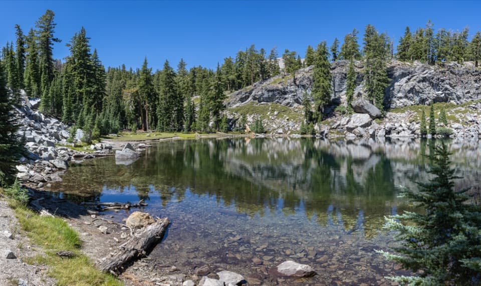
If you’re feeling good, longer loops from the same trailhead add Bench Lake and Sifford Lakes for more meadows and water. Note that Bench Lake can be dry in late summer while Sifford usually holds water. For something very short, there’s also a mellow creek-side stroll on the nearby Kings Creek Trail.
Elevation
2.3 mi · 1.8 hrWhere it starts
40.4605, -121.4596Wildlife on this trail
Near Kings Creek Falls Trail
All places →All trails →
0.4 mi awayKings Creek MeadowEasy pullout with big Lassen Peak views and a photogenic meadowPullout · Parking
0.6 mi awayUpper Cascades ViewpointCreekside overlooks along the Upper Cascades to Kings Creek FallsScenic Viewpoint · Parking
0.9 mi awayKings Creek Picnic AreaCreekside picnic spot with toilets and easy access to Kings Creek FallsTrailhead · Restroom
0.9 mi awayCrumbaugh Lake TrailEasy meadow ramble to a serene lake with a fizzing hydrothermal stopEasy · 2.6 mi · 1.1 hr
0.9 mi awayCold Boiling Lake TrailQuick, easy stroll to a subtly bubbling lake with meadow viewsEasy · 1.5 mi · 45 min
1 mi awayKings Creek FallsShort waterfall hike with a steep, scenic staircase along the creekTrailhead · Scenic Viewpoint
2.6 mi awayLassen Peak TrailShort, steep volcano climb to a crater rim with big-time viewsChallenging · 5 mi · 4.5 hr
2.9 mi awayBumpass Hell TrailShort, high-elevation walk to a steamy hydrothermal basinEasy · 3 mi · 1.3 hr