
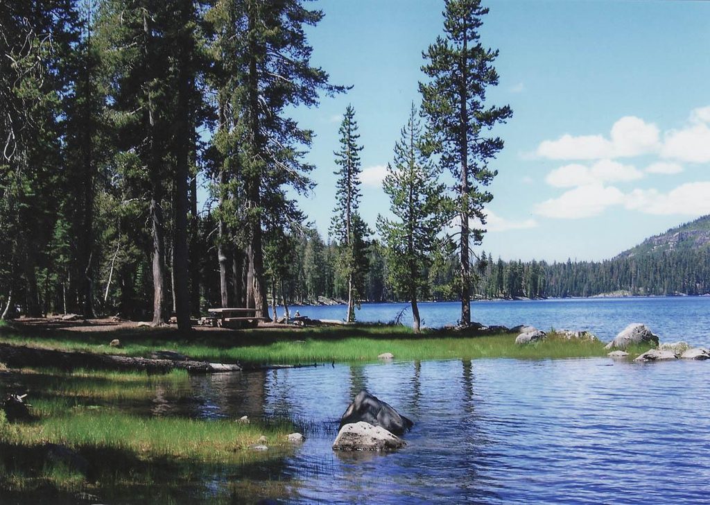
Place · 0 mi away
Challenging
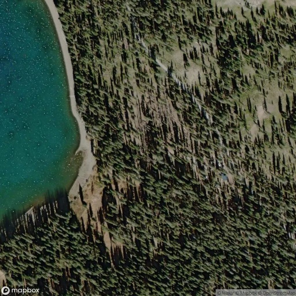
This is a big, rewarding loop through the park’s volcanic heartland: roughly 19.1 miles total with about 2,700–2,950 feet of climbing and a high point around 7,018 feet. Expect long stretches of soft cinder and sand that make the miles feel longer than they look on a map. Strong hikers can tackle it as a long day (often 8–10 hours), but it really shines as a 1–2 night backpack if you want time to swim, explore, and savor the views.
From Juniper Lake, the route works north to Snag Lake and on to Butte Lake before swinging by the Cinder Cone area and closing the loop. The headline detour is a steep grind up Cinder Cone on loose cinders, where you’ll earn panoramic views of Butte and Snag Lakes, the Painted Dunes, the Fantastic Lava Beds, and Lassen Peak. Summer brings tempting swim-and-filter stops at Snag and Butte Lakes. Underfoot, you’re walking on the products of multiple eruption styles—the park showcases all four classic volcano types here, with Cinder Cone’s young cinders and the nearby lava beds offering a live geology lesson in every step.
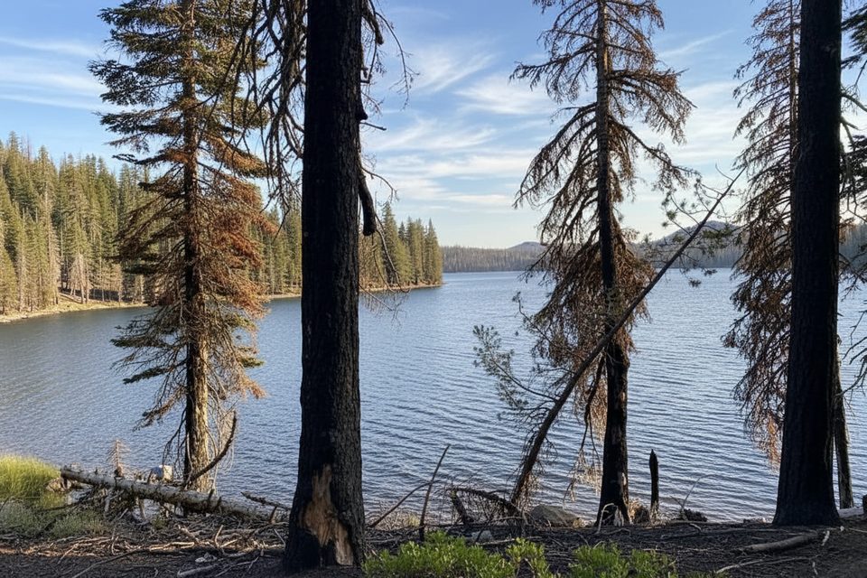
The footing is the challenge: fine volcanic sand and cinders sap energy, and the Cinder Cone climb is short, steep, and hot in the sun. Post-fire impacts persist on parts of the Snag Lake Loop segment, including exposed stretches, sections that can feel undefined, and a partially missing footbridge at Grassy Creek—download an offline map and expect occasional route-finding. Trekking poles help on both the cinder ascent and the sandy miles.
Late spring through fall is the typical window, depending on snow and road access. In summer, plan the Cinder Cone climb early or late for cooler temps and better light on the Painted Dunes. Mosquitoes can be thick near lakes in peak summer—bring repellent and consider a headnet. In winter and spring, higher elevations here are snow-covered and vehicle access in the park is limited.
Start/finish at the Juniper Lake Campground area. Juniper Lake Road’s last miles are rough dirt with steep sections and are not suitable for RVs or trailers. Butte Lake is reached by a 6-mile dirt spur off Highway 44 that’s usually passable to passenger cars when open. Facilities at Juniper Lake Campground (potable water/restrooms) are seasonal. Always check current park road and trail conditions before you go.
Overnight trips require a wilderness permit. Follow camping setbacks from water and trails and current fire regulations. Snag and Butte Lakes are reliable filter sources in season; carry extra capacity for the exposed cinder stretches.
This loop is for hikers who enjoy long, sandy miles and big volcanic scenery. If you want something shorter with similar highlights, consider the Snag Lake Loop from Butte Lake, a Juniper Lake shoreline loop, or a quick summit of Mount Harkness for sweeping views without the cinder slog.
Park at the Juniper Lake Campground area (seasonal water and restrooms). Access via Juniper Lake Road includes a rough, steep dirt section not suitable for RVs/trailers. Butte Lake is reached by a 6-mile dirt spur off Hwy 44. Verify seasonal road openings before you go.
Expect long stretches of loose cinders, heat and full sun on the Cinder Cone, post-fire route-finding challenges, and a partially missing footbridge at Grassy Creek. Mosquitoes are common near lakes in summer. Snow and limited vehicle access prevail in winter/spring. Carry extra water and download offline maps.
Place · 0 mi away
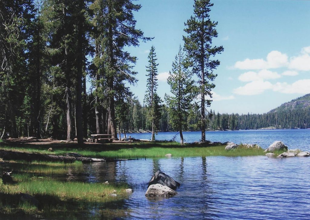
Place · 0.8 mi away
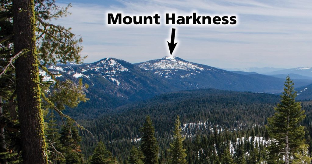
Place · 1.4 mi away
Place · 4.4 mi away
Easy · 0 mi away
Moderate · 0 mi away
Moderate · 0.1 mi away
Moderate · 1.2 mi away

Parkwolf Tour Guide
